Page Feedback

Flathead Raft Company
Flathead Raft Company

Information

406-883-5838
1/2 Day Whitewater Rafting $64 - adults, $54 - children (8-12) $57 - seniors (60 and older). Group Rates: $62 - 12 people (full raft) $61 - 13-19 people $60 - 20-30 people $58 - 31-50 people $56 - 51-75 people $55 - 76-120 people 1/2 Day Whitewater Inflatable Kayaks $69 per person 1/2 Day Riverboarding $89 per person Full Day Raft Trip $80 - adults, $65 - children (6-12) Full Day Sea Kayak Trip $99 - adults, $89 - children (8-12) Standup Paddleboards or Sea Kayaks $15/hour $40/half day (4 hours) $60/day (24 hour period) Overnight trips: $299 - adults, $249 - children Two night trips: $399 - adults, $325 - children Three night trips: $499 - adults, $399 - children
lat: 47.693067 long: -114.1445548

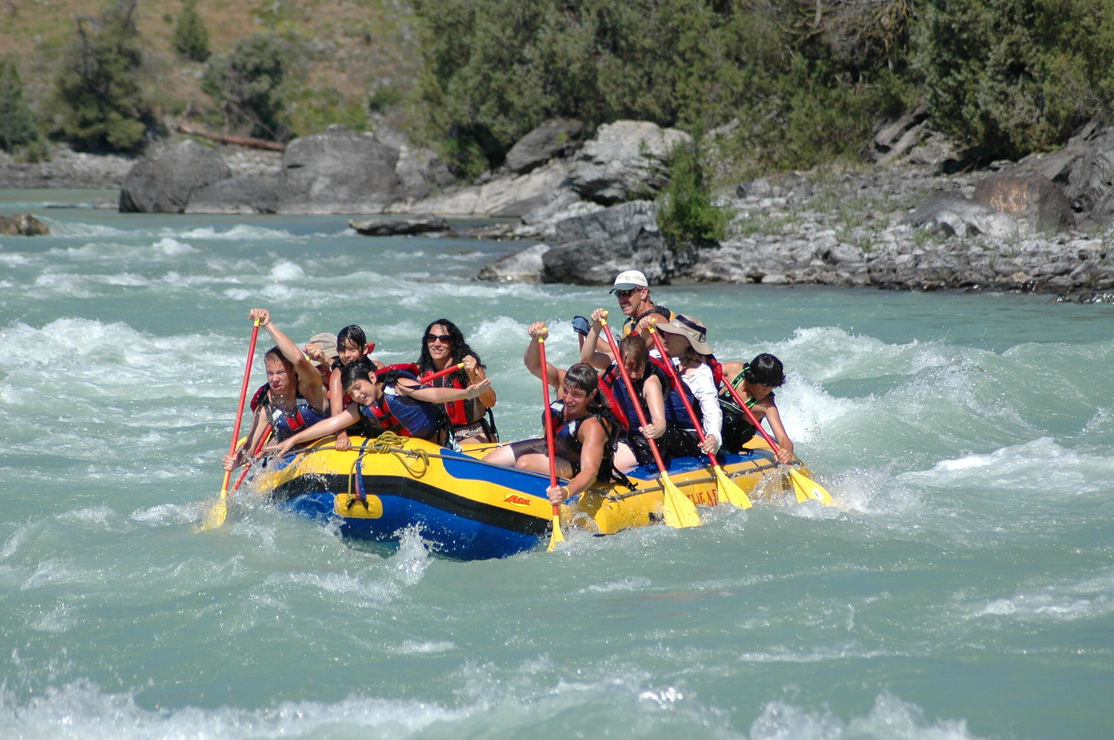
Whether you are looking for whitewater rafting, kayaking, scenic rafting or sea kayaking in the tranquility of a mountain lake, the Flathead Raft Company has an adventure waiting for you. If you are truly seeking adventure, come try out the new sport of river boarding. We offer trips suited for all levels of experience: from sea kayaking through the remote islands of the Flathead Lake, peaceful river floats in the lower canyon, to braving the Wild Buffalo Rapids of the upper canyon. And with our friendly and experienced staff, you’re guaranteed to have an adventure you’ll remember for the rest of your life.

Nearby Attractions

Distance Unit:

Nearby Trails

Distance Unit:

Antelope Wilderness to James Kipp Landing

lat: 47.6274434 long: -108.6934195
Upper Hauser Lake

lat: 46.6822743 long: -111.8215701
Old Buffalo Trail 2

lat: 46.9547545 long: -113.5255417
Missouri River Right

lat: 46.6822743 long: -111.8215701
Judith Landing

lat: 47.7408449 long: -109.6284022
Rivers Edge Trail

lat: 47.517582 long: -111.2649299
Hauser Hiking Trail

A trail starting at Hauser Dam and overlooking the Missouri River.

lat: 46.765794328365 long: -111.88708305359
Judith Landing to Woodhawk Wilderness

lat: 47.7400888 long: -109.6276312
Coal Banks Landing to Eagle Creek

lat: 48.0338635 long: -110.2279854
Blackfoot River Beginning

lat: 46.9502198 long: -113.3787584
James Kipp Landing

lat: 47.6276519 long: -108.6854877
Missouri River Left

lat: 46.6822743 long: -111.8215701
Send Feedback

Instagram Feed