Water People Tours

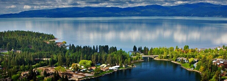
Kisuk Kyukyit (Good Day), Water People Tours provide a one-of-a kind experience with interesting Kootenai historical facts and stories relevant to Kootenai aboriginal territories (British Columbia, Alberta, Montana, Idaho, and Washington) including the Flathead Valley, Flathead Indian Reservation and Glacier National Park.
c. She is a direct descendant of Chief Koostahtah’s Sister Marian Big Knife and late Kootenai Chief Baptiste Mathias.
“I am familiar with the land, history and can answer a variety of questions,” says Keya. “Water People Tours offers informative briefings on the areas origins and significant events that have taken place here and the surrounding areas.”
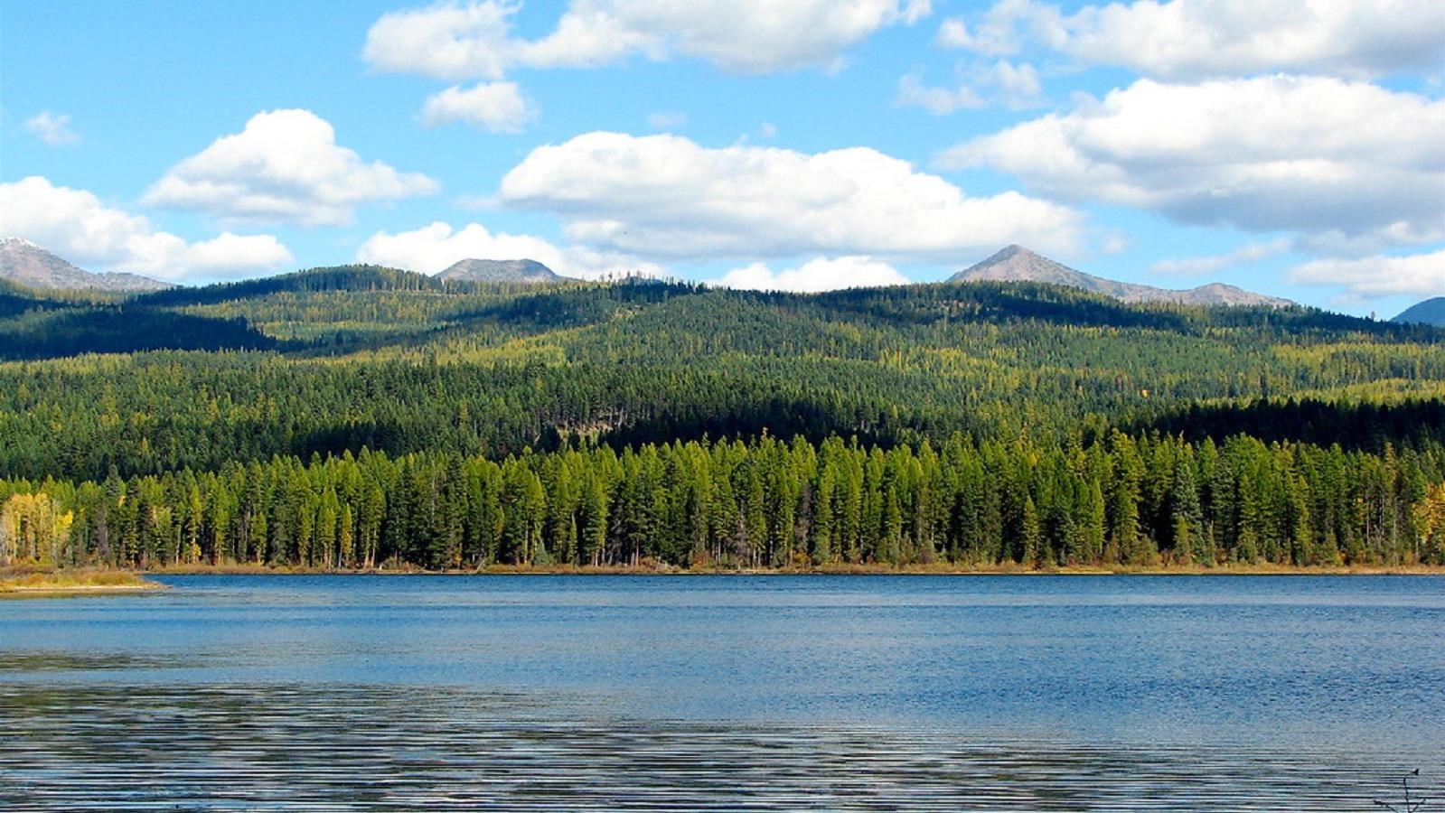
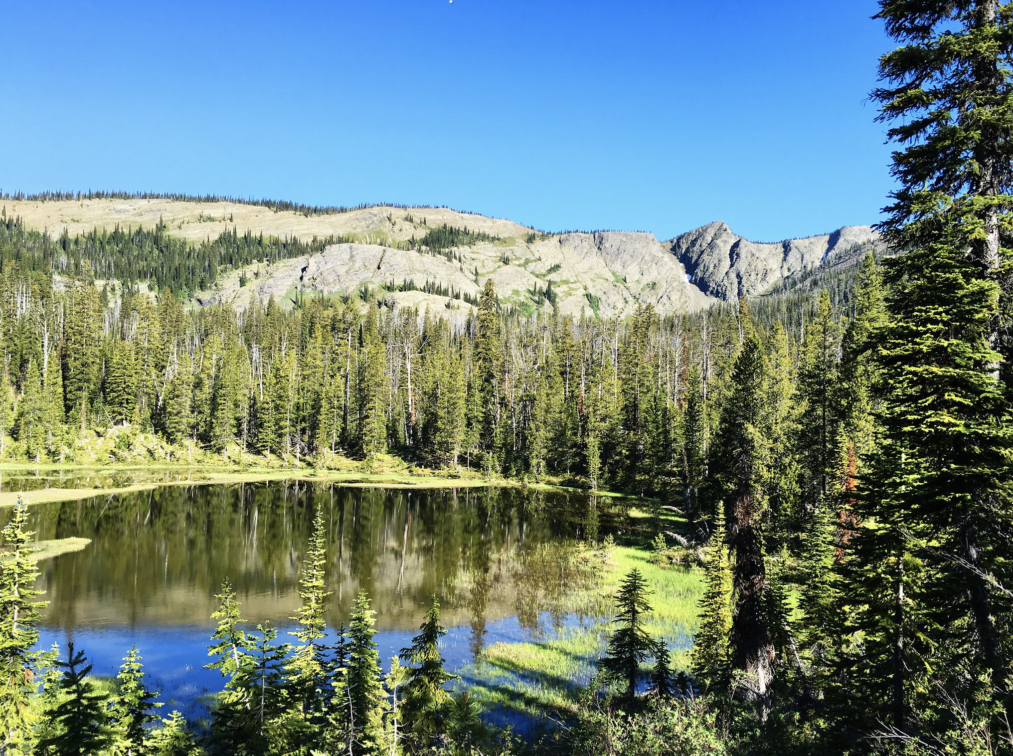
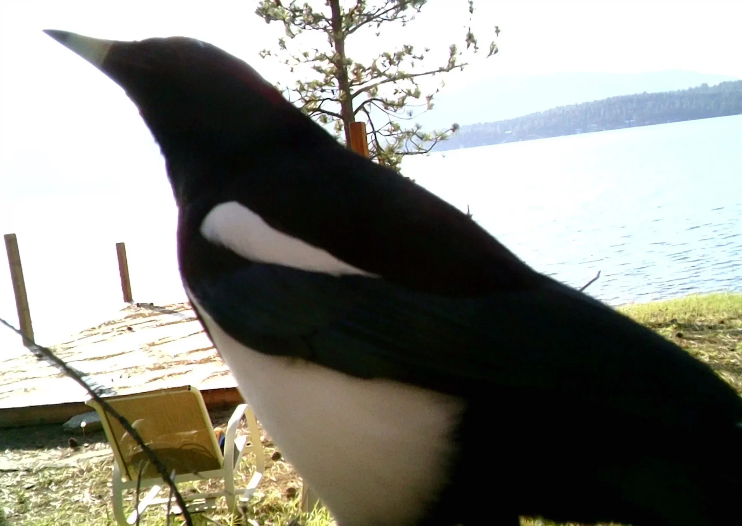
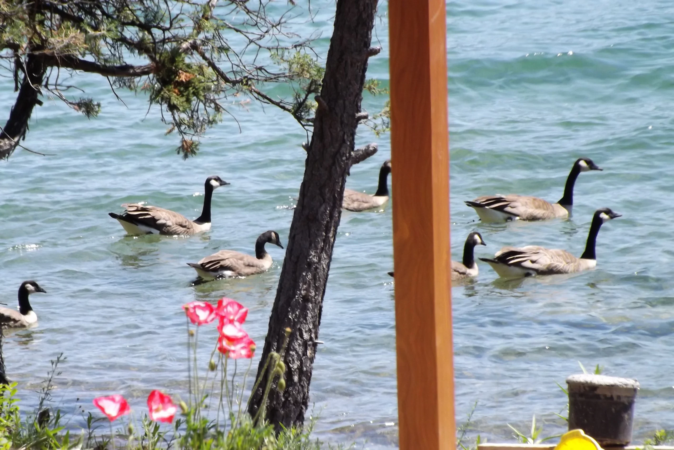
The Ktunaxa (Kootenai) have been referred to as the Water People because they were very adept around water and developed original tools and equipment (such as the sturgeon-nosed canoe and fish traps) that facilitated their life in and around bodies of water. Today all 7 of the modern Kootenai Tribes residing in the US and Canada continue to live around major lakes and rivers.
“As a direct descendant of our Kootenai Chiefs and brought up in a traditional Kootenai home, I’m happy to have the opportunity to provide you with a one of a kind tour experience by sharing the stories and the oral history of the First Nations People.”
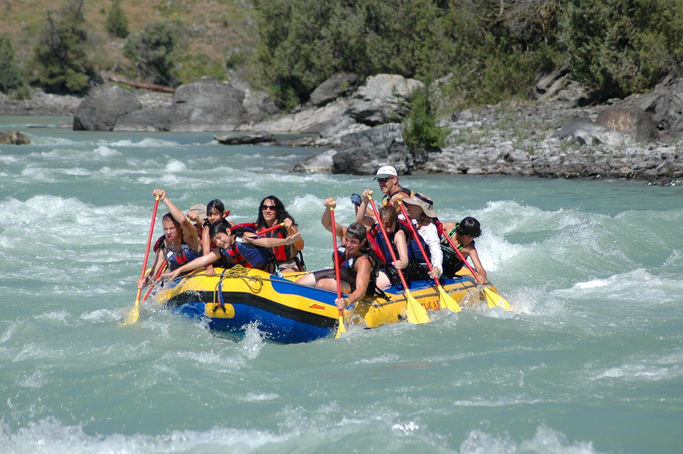
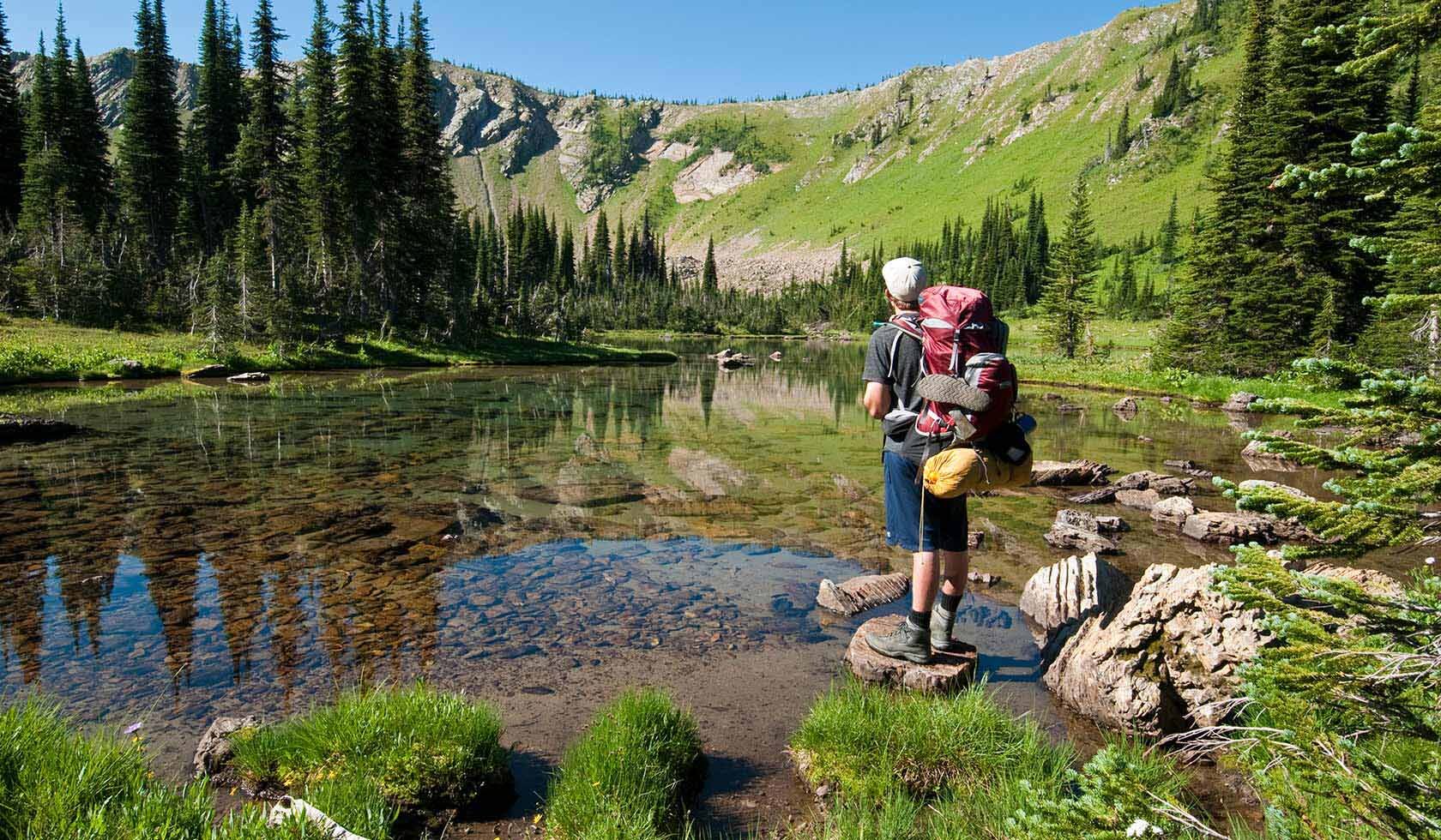
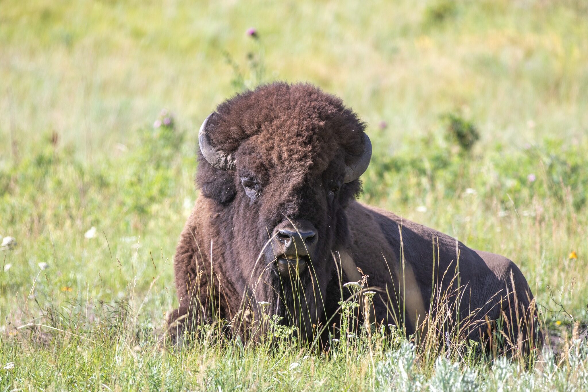
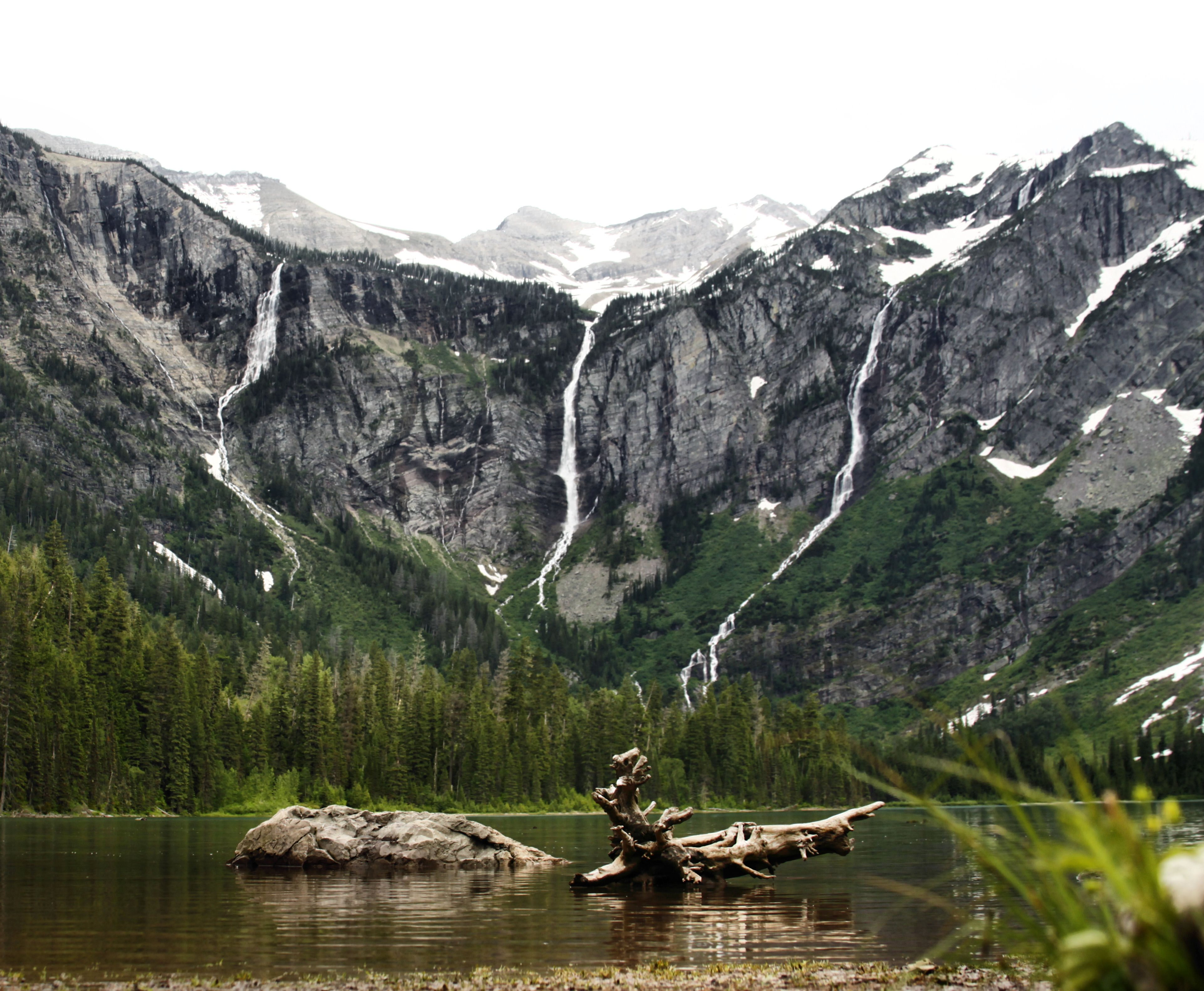
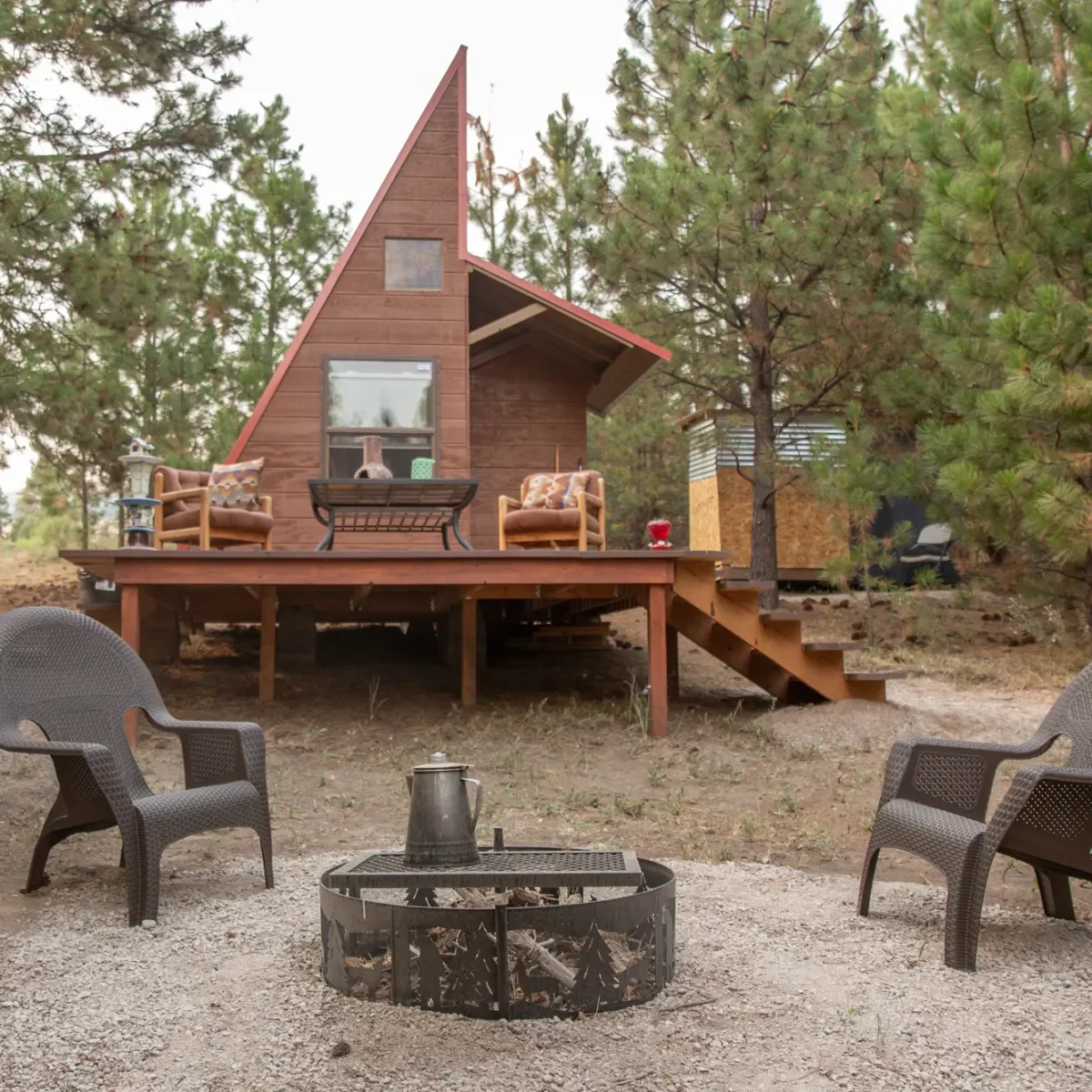
Interested in a custom tour? We can discuss options for tours of the National Bison Range, Glacier National Park, bird watching in the wildlife refuges, hiking the Missions, fishing and horse back riding.
Distance Unit:
Distance Unit:


A trail starting at Hauser Dam and overlooking the Missouri River.


The Blackfoot River, sometimes called the Big Blackfoot River to distinguish it from the Little Blackfoot River, is a snow-fed and spring-fed river in western Montana.