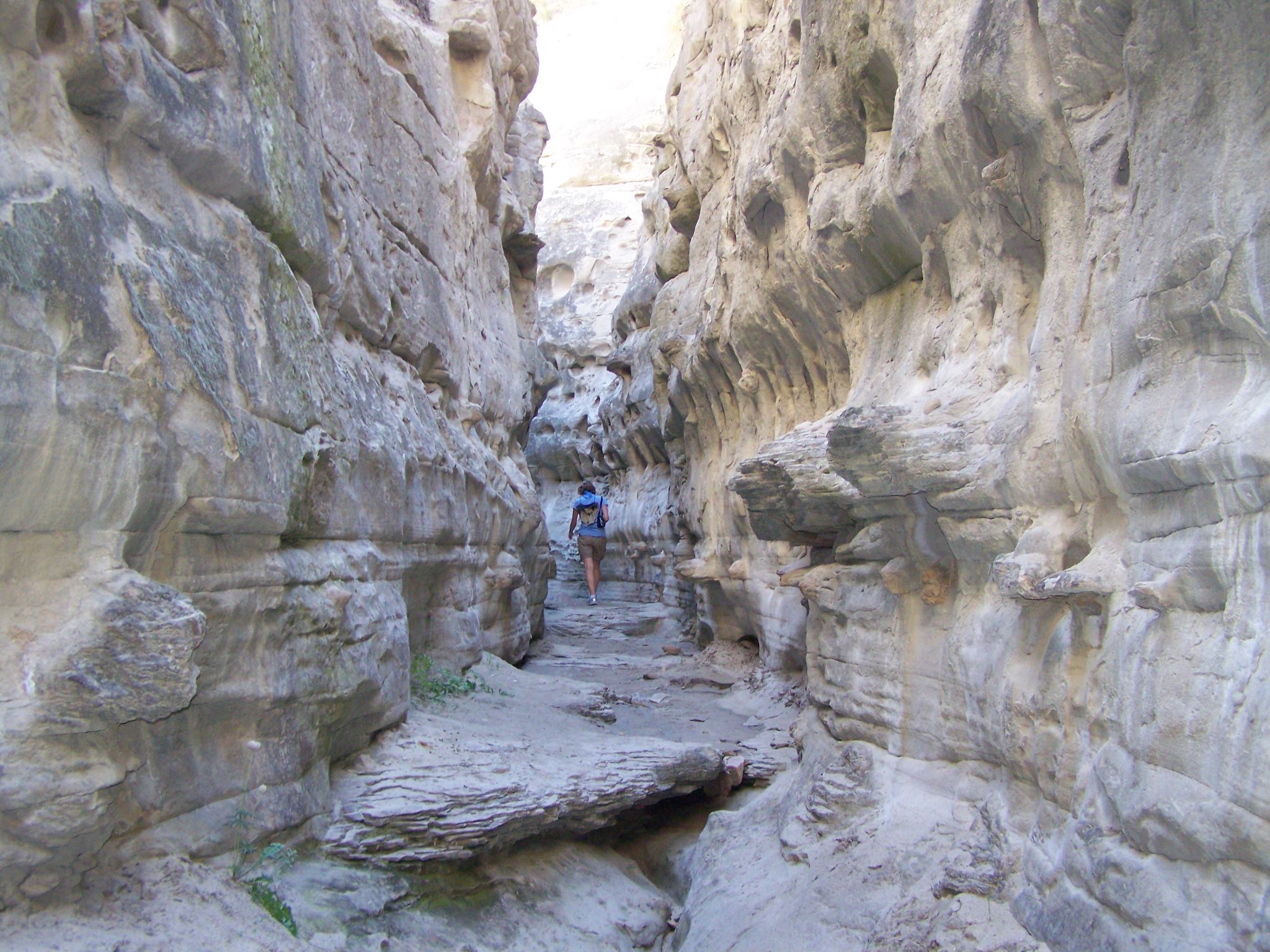
Rattlesnake National Recreation Area & Wilderness
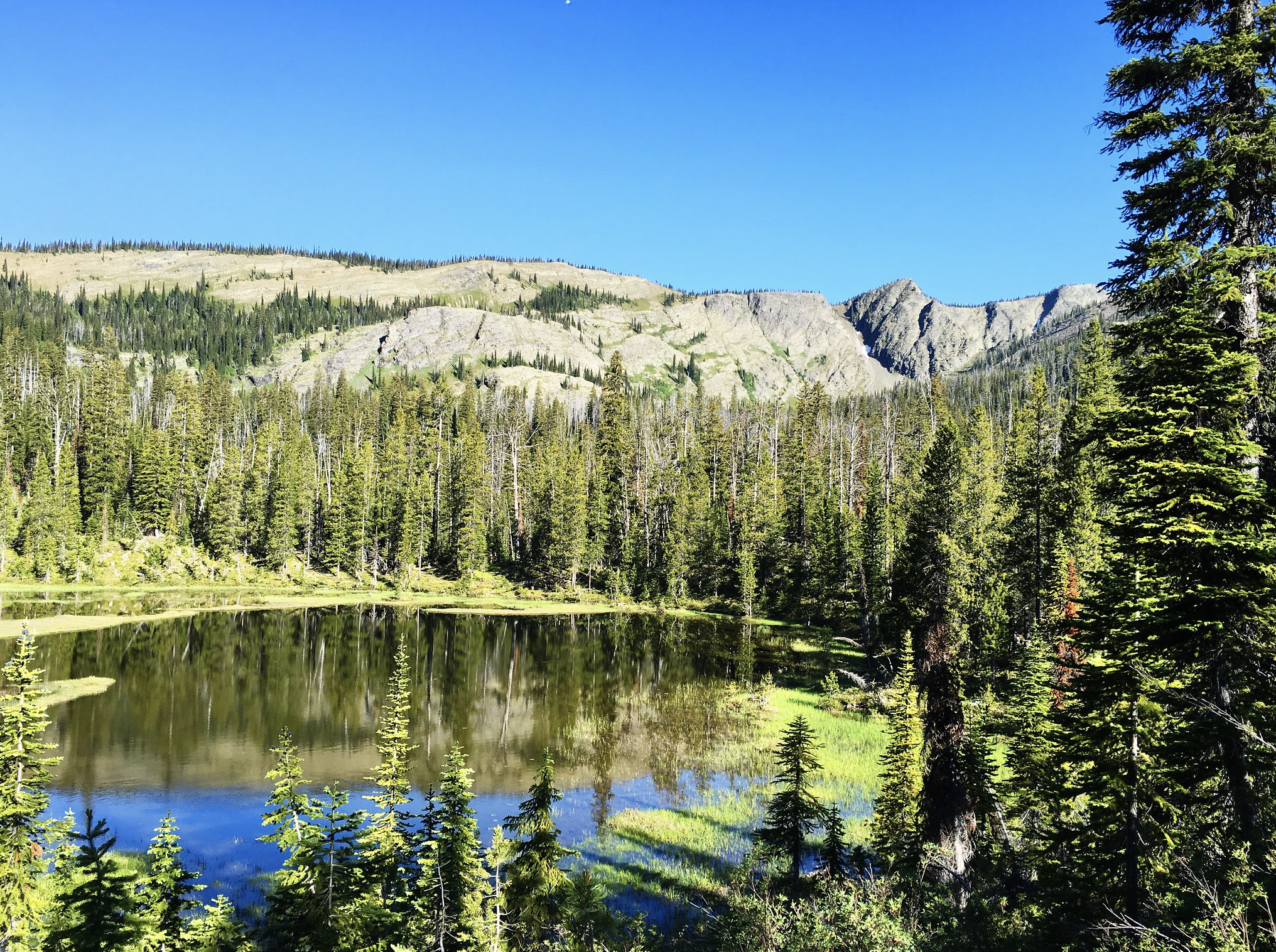
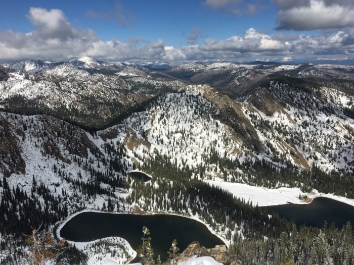
The Rattlesnake National Recreation Area and Wilderness is distinguished by mountain peaks, forested ridges, and breathtaking lakes.
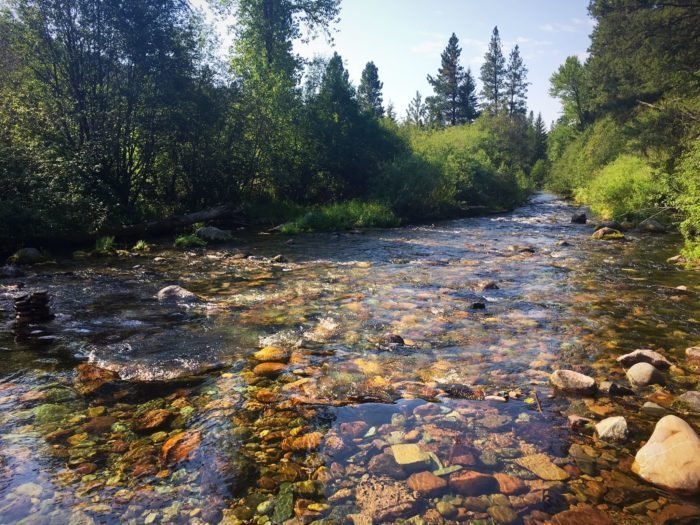
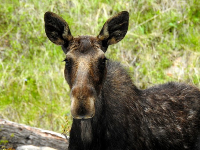
Located four miles north of Missoula, The Rattlesnake National Recreation Area and Wilderness is home to 32,000-acres designated to wildlife and 28,000-acres designated to recreational area. Its roughly 73 miles of trails move through rolling hills filled by ponderosa pine, lodgepole pine, spruce, fir, and larch. Variety doesn’t only exist in the vegetation but also the animals that roam the area. Here you are able to spot osprey, hawks, eagles, deer, elk, mountain goats, bighorn sheep, wolves, mountain lions, black bears, grizzly bears, and moose.
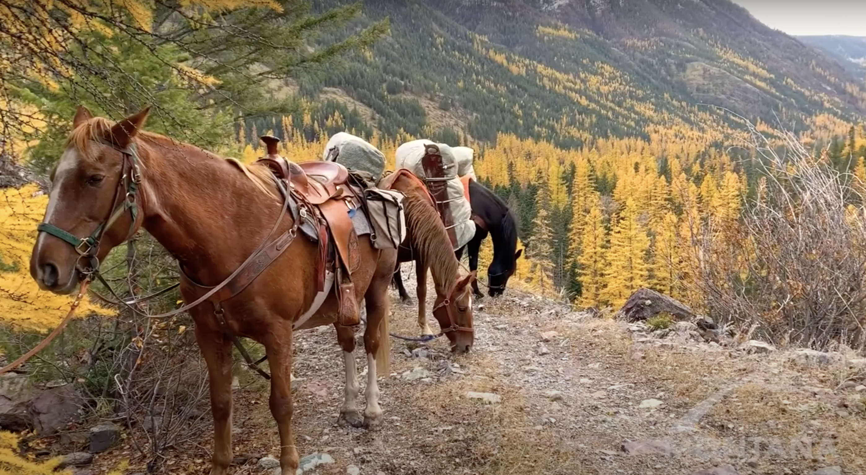
The Rattlesnake National Recreation Area and Wilderness provides a range of actives that include hiking, backpacking, horseback riding, biking, XC skiing, and snowshoeing. With the 73-miles of trails, this open pace gives visitors a plethora of opportunities to choose from, from day trips to overnight trips.
Distance Unit:
Distance Unit: