Ninepipes Museum of Early Montana
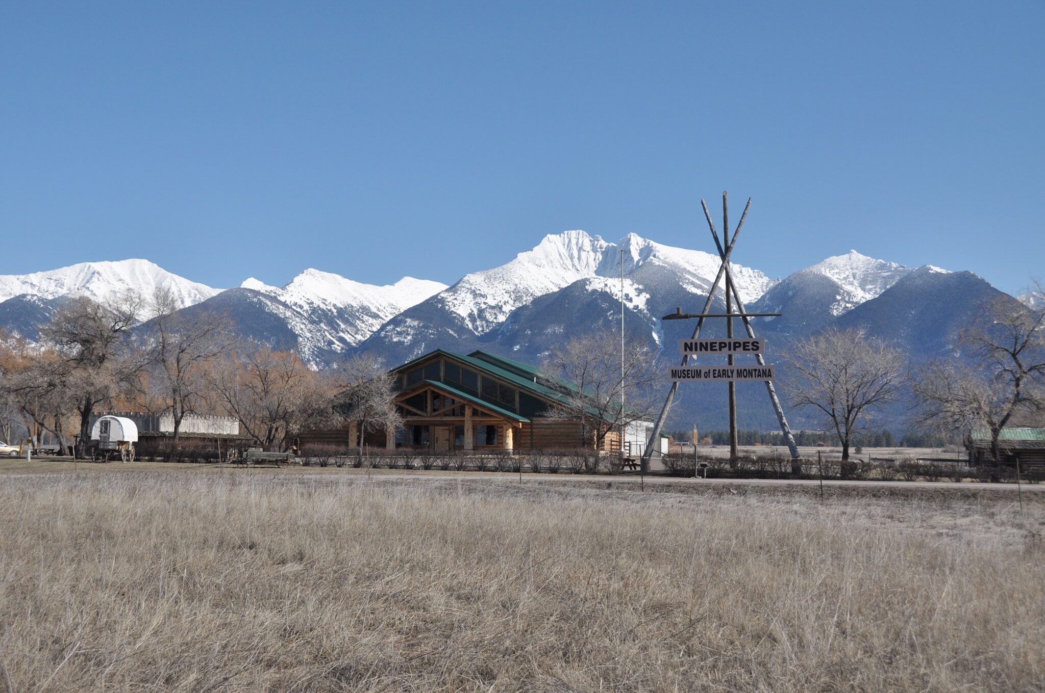
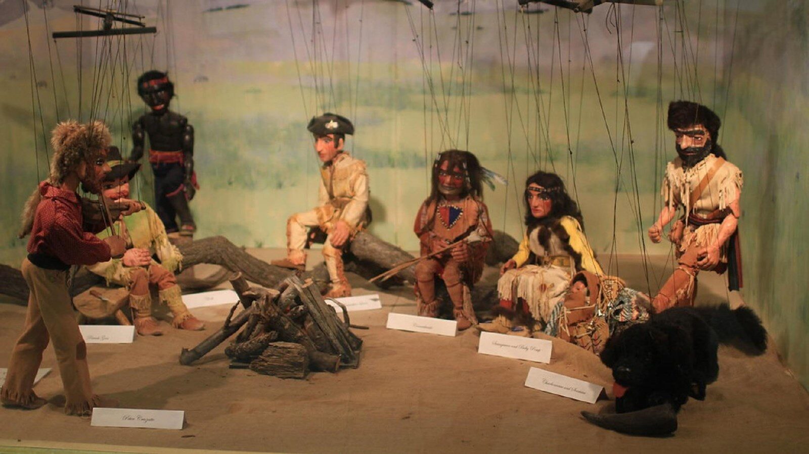
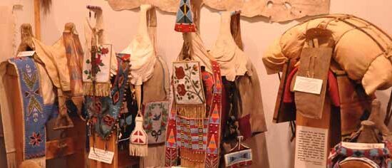
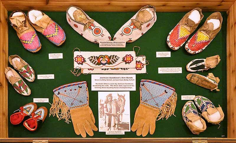
Located near the Ninepipe National Wildlife Refuge, the Ninepipes Museum of Early Montana, established in 1998, memorializes the history and culture of the Flathead Indian Reservation and early Montana. There are four rooms in the museum, and in each of them you can find unique and impressive collections of artifacts, historical photographs, as well as objects such as guns, bows and arrows. The museum also exhibits traditional beadwork and clothing – all of which brings to life the stories of early Montana. It is named after a highly respected Bitterroot Salish leader – Chief Joseph (Nganta) Ninepipes (1820-1871), who was a war pipe holder which was considered as a prestigious honor at these times.
As stated on the museum’s official website – “The museum’s purpose is to discover, memorialize, preserve and protect the history and culture of the Flathead Reservation and early Montana. It is designed for the enrichment, education, and recreation of local residents and visitors.”
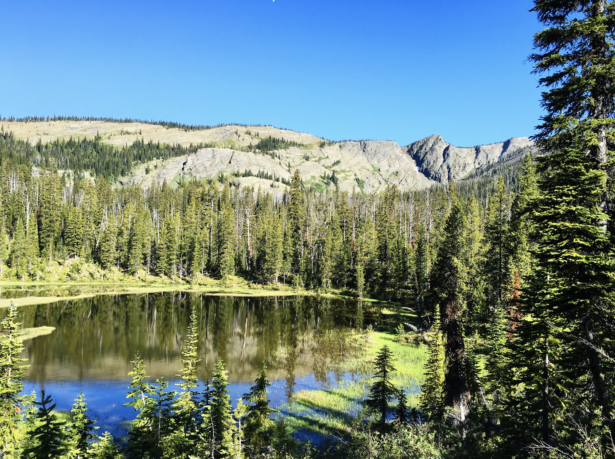
On top of the remarkable exhibitions, there is also a one-eight mile long nature trail around the property with a picturesque view of the Mission Mountains. You can also visit a gift shop, which offers a great selection of artwork made by the local artists!
All in all, the museum is a perfect spot for a day full of learning about cultures of indigenous people who used to live in the area.
Distance Unit:
Distance Unit: