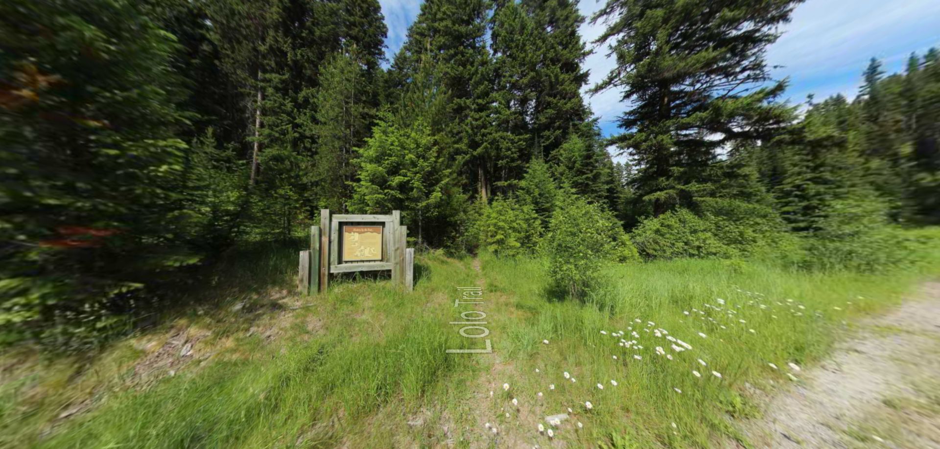
Smoking Place
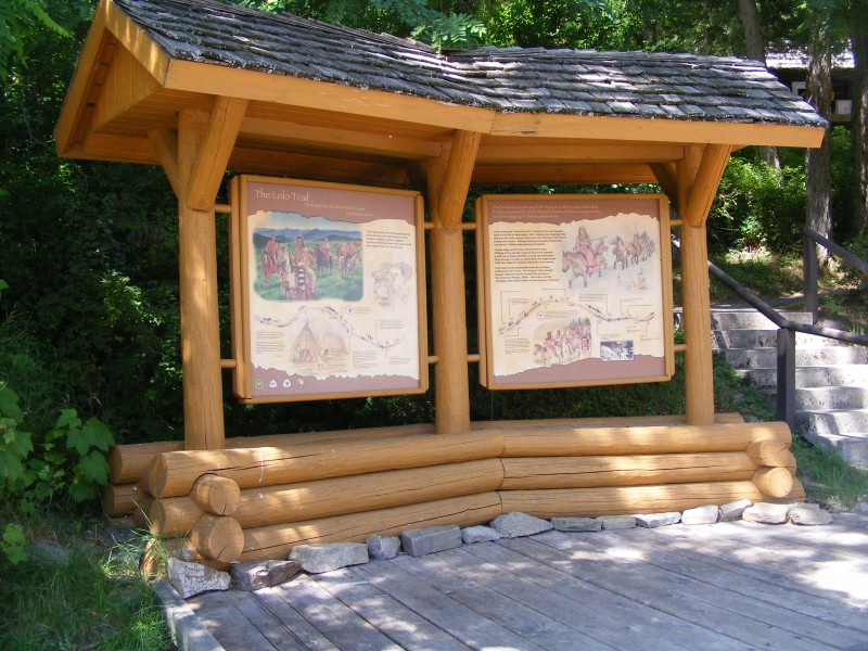
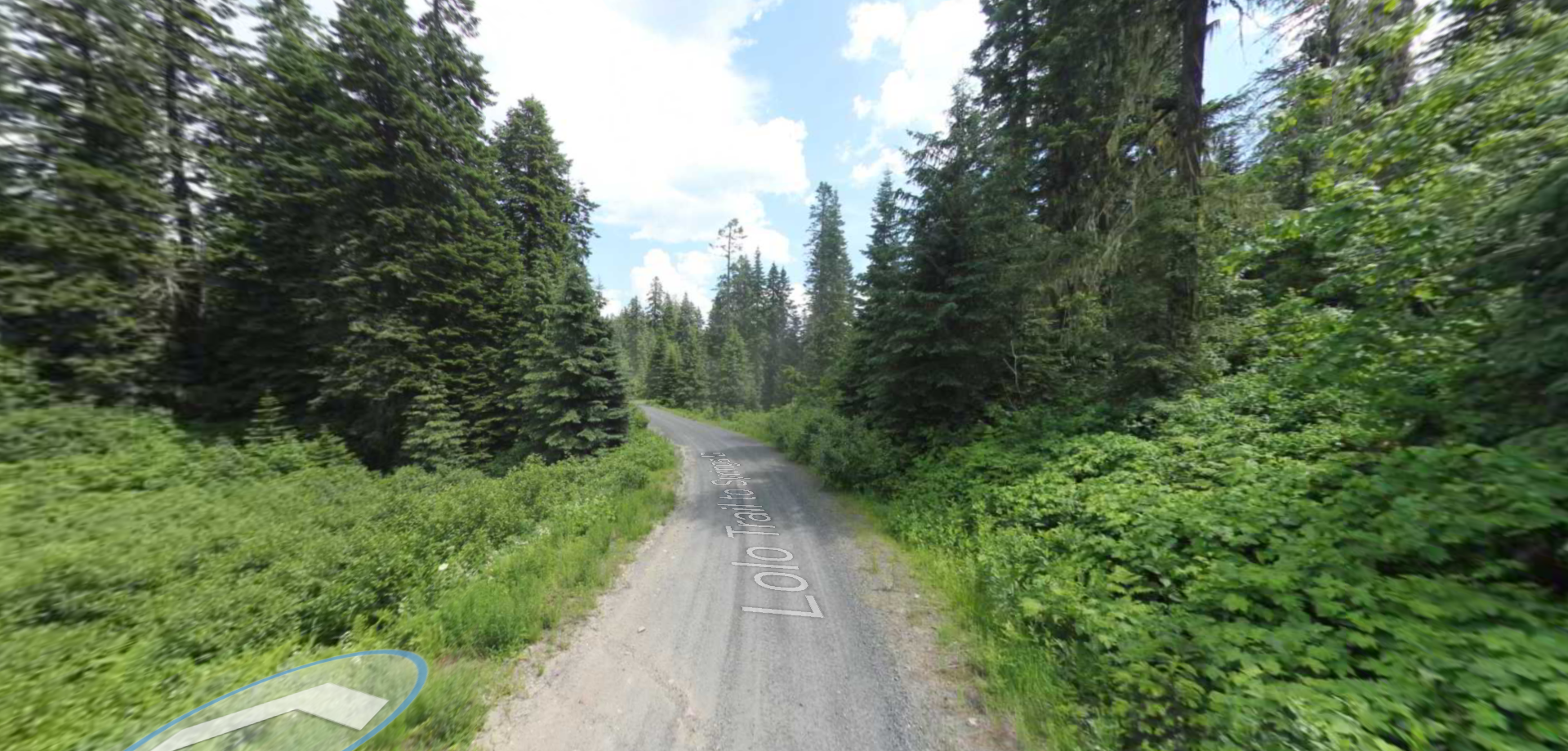
Located in present day Lolo, Montana, Smoking Place is a High Potential Historic Site along the Lewis and Clark National Historic Trail and a component of the Lolo Trail National Historic Landmark.
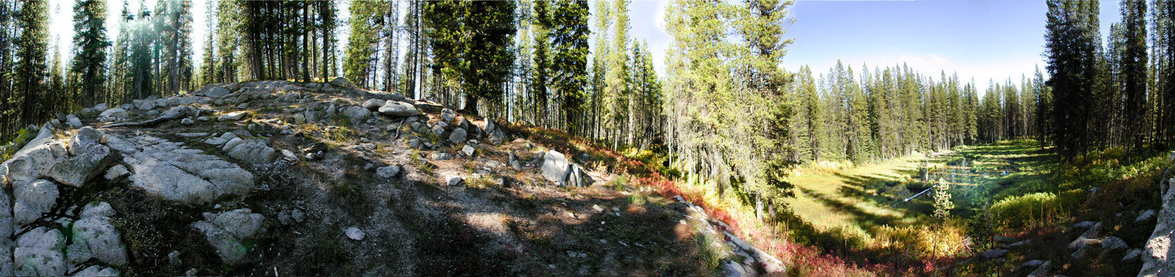
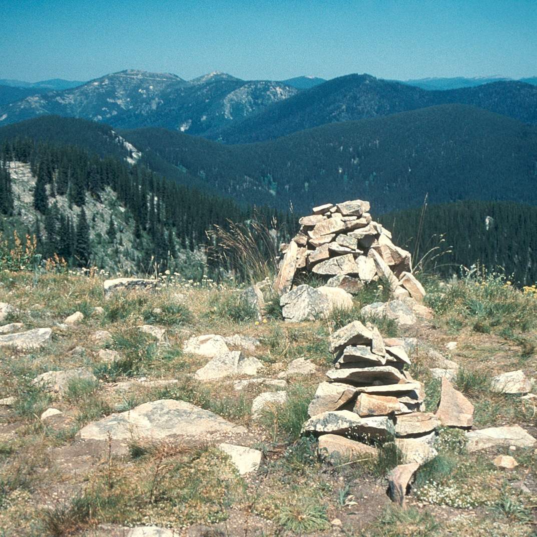
The Smoking Place is the site where, on June 27, 1806, Native American guides requested that the expedition stop “a fiew minits on an ellevated point and Smoked a pip on this eminence the nativs have raised a conic mound of Stons of 6 or 8 feet high and erected a pine pile of 15 feet long.” The precise location where they stopped was an Indian Grave Meadow, an area long served as a camping place for native tribes, trappers, road builders, and hunters.
This stop was important to the trip, as it was a break in an estimated 28-mile journey “without relieving the horses from their packs or their having any food.” Moreover, Lewis wrote about how integral their native guides were to leading them to where they needed to go, especially since much of the land was covered in snow at the time.
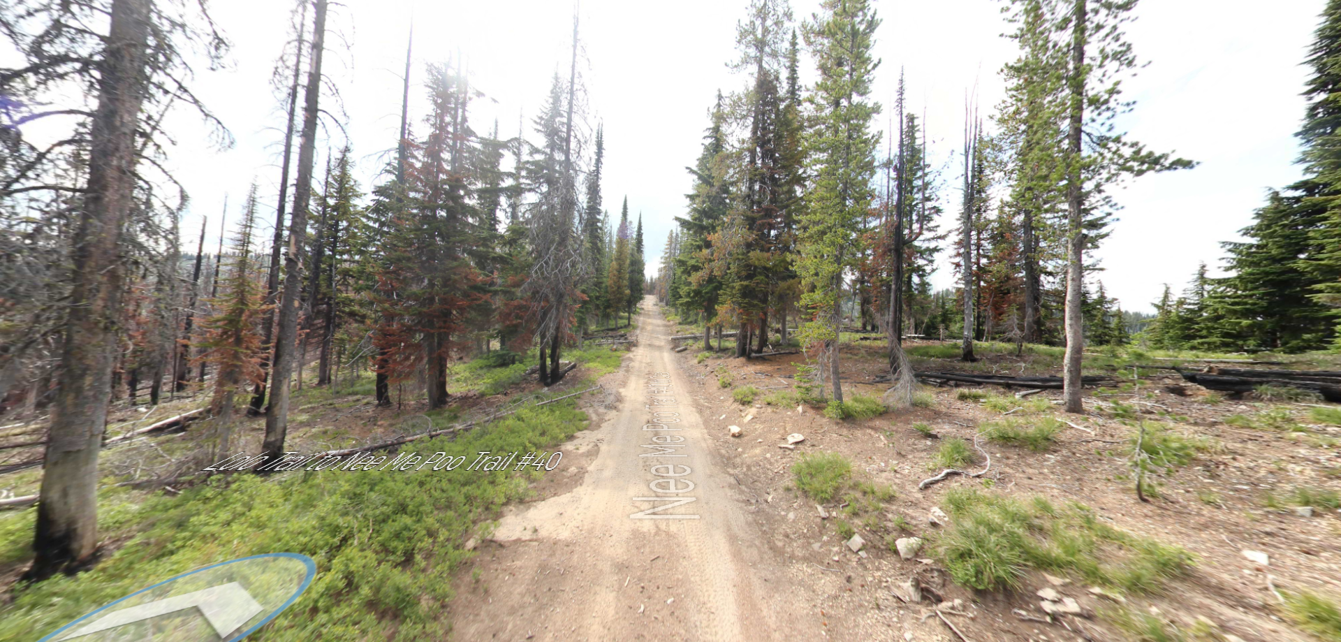
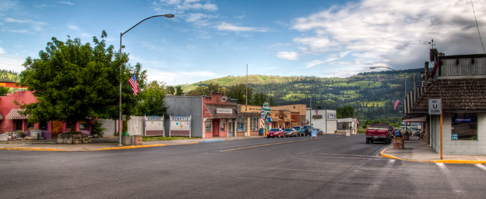
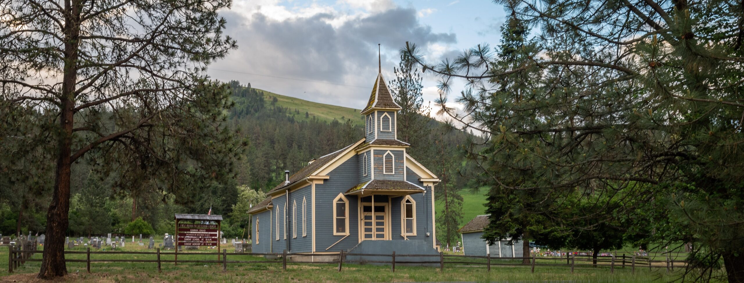
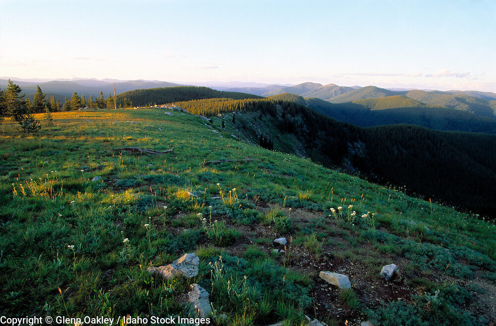
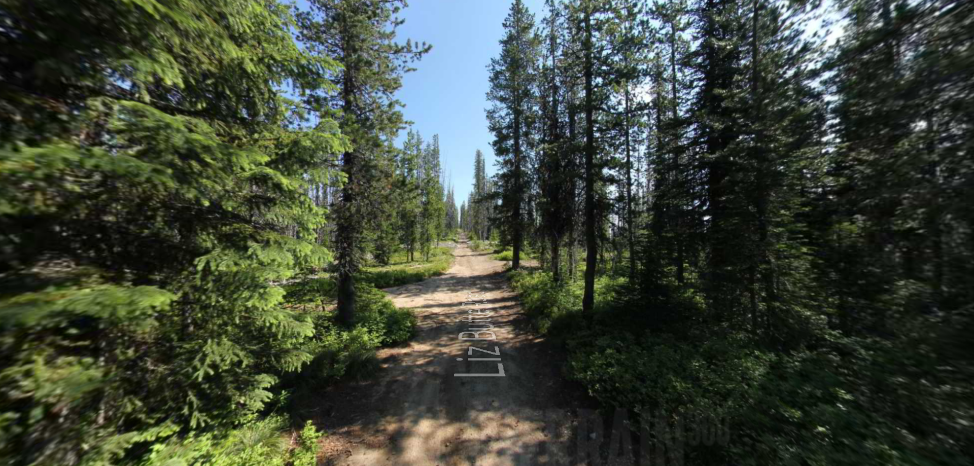
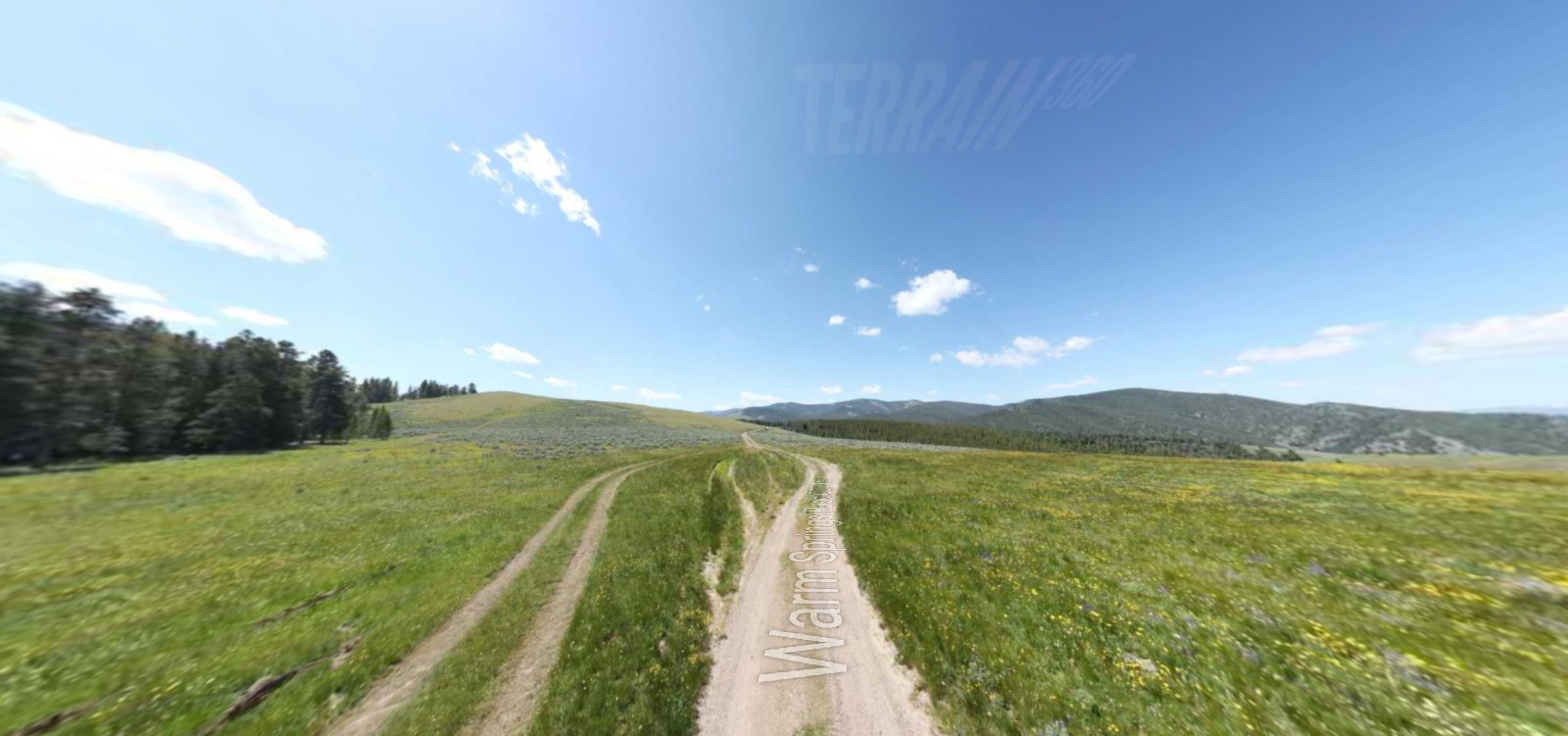
Today, the Smoking Place is located in Clearwater National Forest, a four-million-acre national forest with a beautiful and diverse landscape. With lush cedar forests and dry rugged canyons, the Nez Perce-Clearwater National Forest has camping, bicycle trails, cabins, horseback trails, picnic areas, water activities, and winter sports.
The location of the Smoking Place in the national forest holds its own breathtaking vistas. Atop a rich forest mountain along the Lolo trail, there is a rock cairn that marks the location of the Smoking Place.
Distance Unit:
Distance Unit:
Tucked 35 miles northeast of Pierce, just off Forest Service Road 250, Weitas Campground offers a tranquil escape on the shaded banks of Weitas Creek near the North Fork of the Clearwater River. Accessible via…
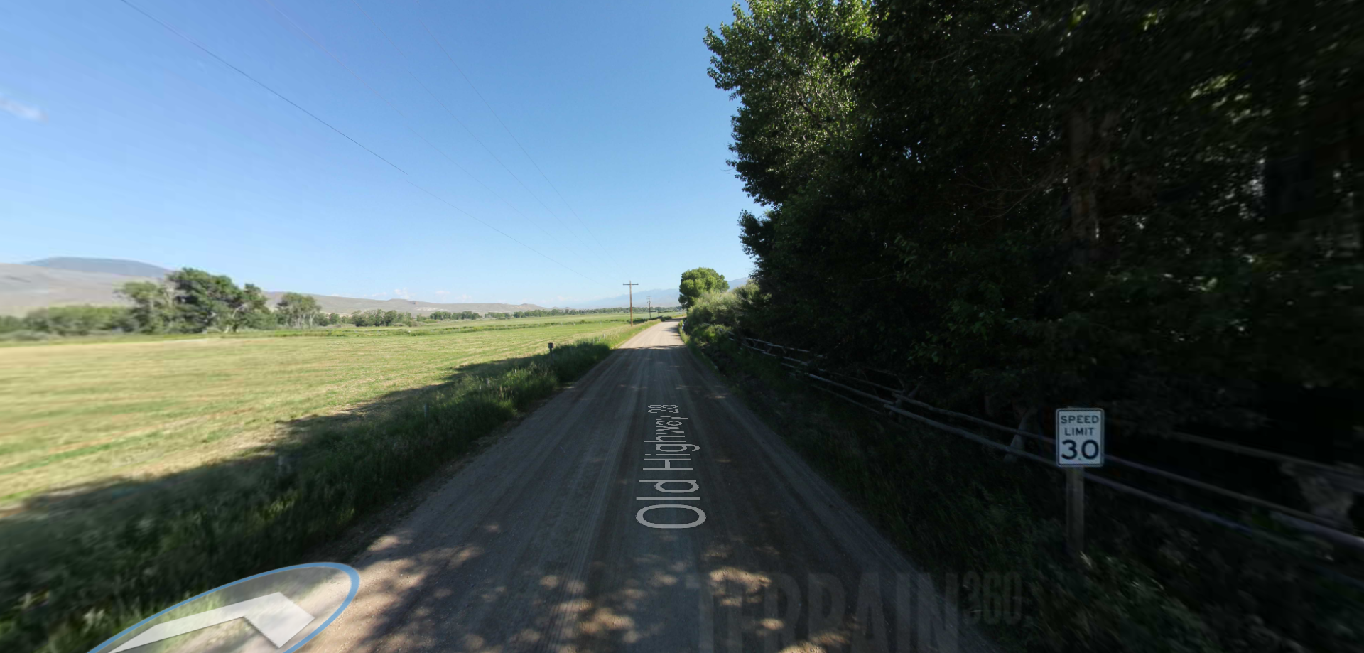
Embark on a historic trail dating back to August 9, 1805, when Lewis, accompanied by a scouting party, ventured away from the main group. Their mission: to discover a portage and establish contact with the…