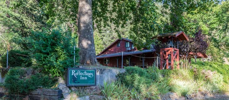
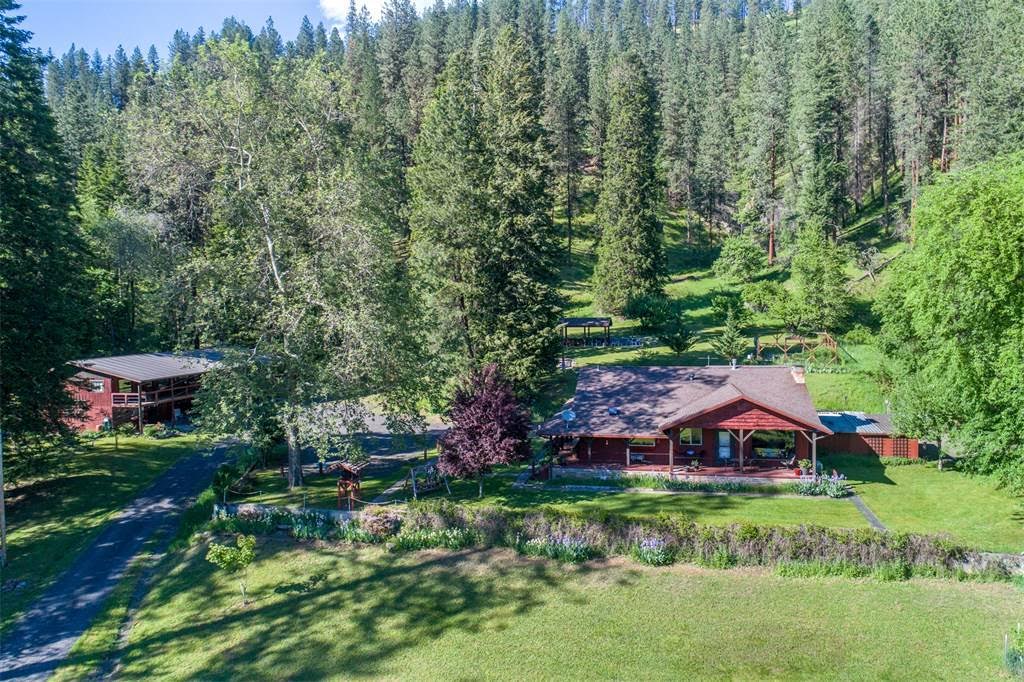
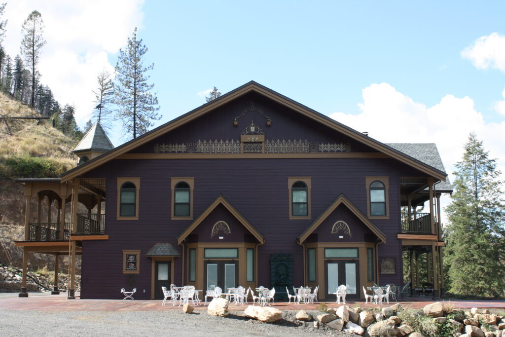
Hearthstone Lodge
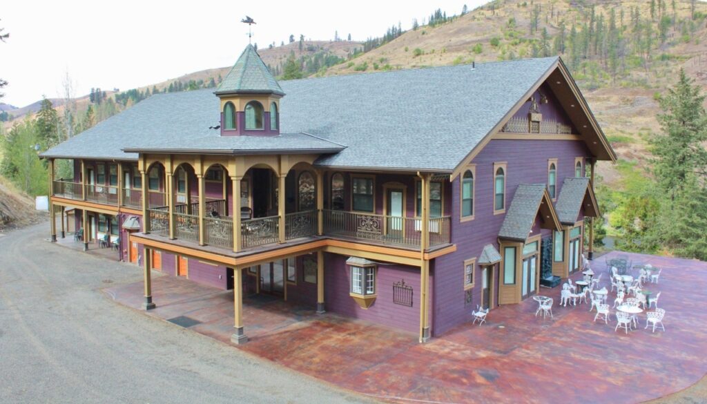
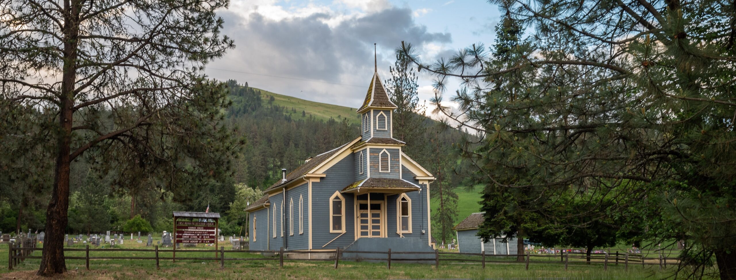
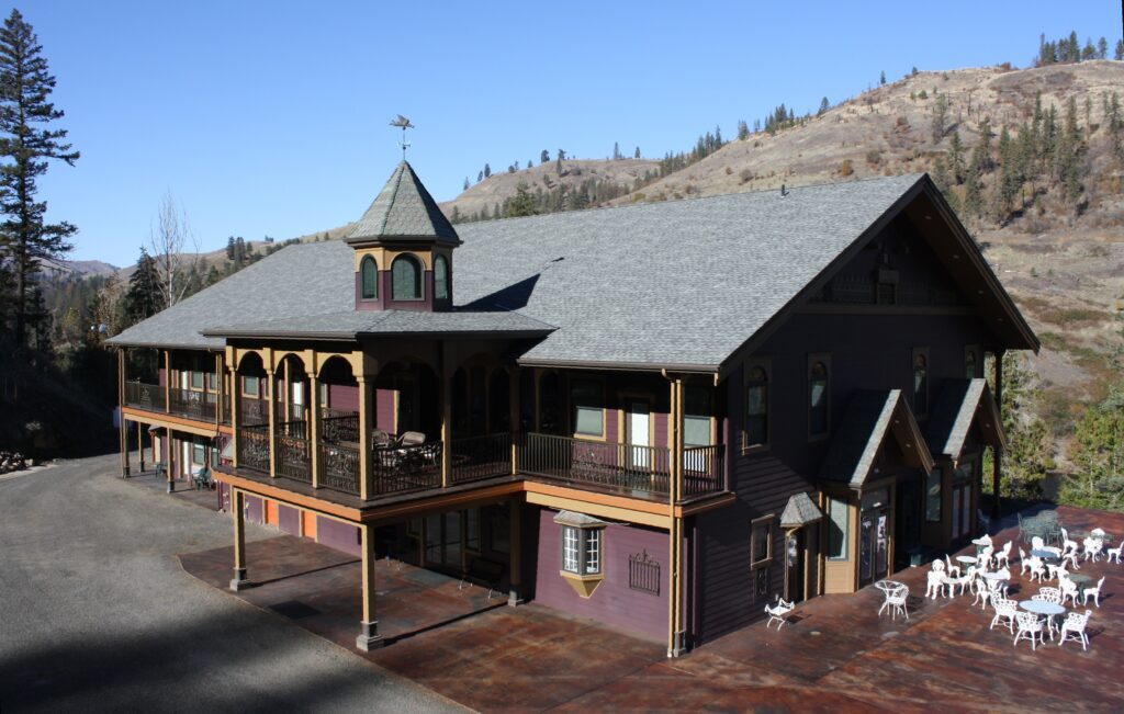
Hearthstone Lodge is one of America’s finest country inns. Hearthstone Lodge is located just outside the historic town of Kamiah, Idaho, in America’s largest remaining wilderness in the lower 48 states.
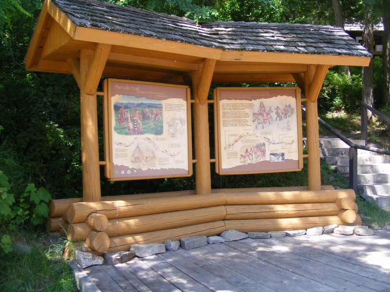
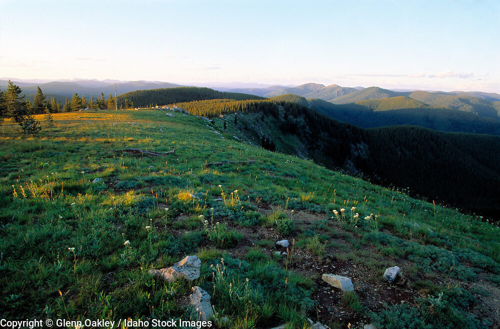
Overlooking the peaceful Clearwater River and the historic Lewis and Clark Trail, the elegant and romantic Hearthstone Lodge is the original lodge at river’s edge, nestled among the pines on 65 acres. Lewis and Clark called this area “Paradise Valley.”
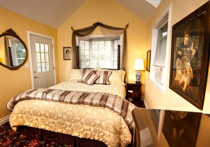
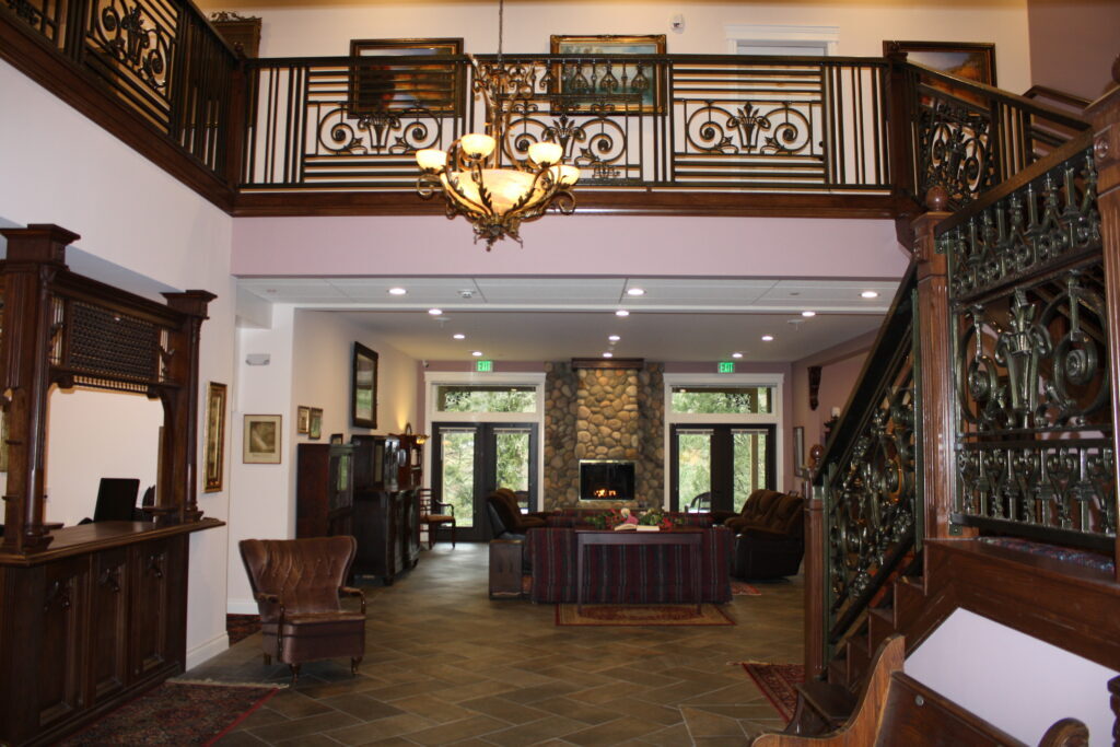
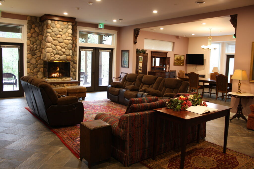
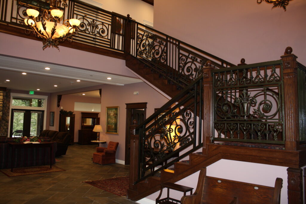
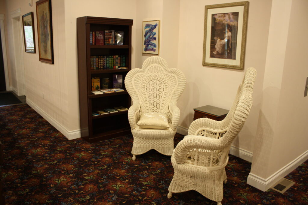
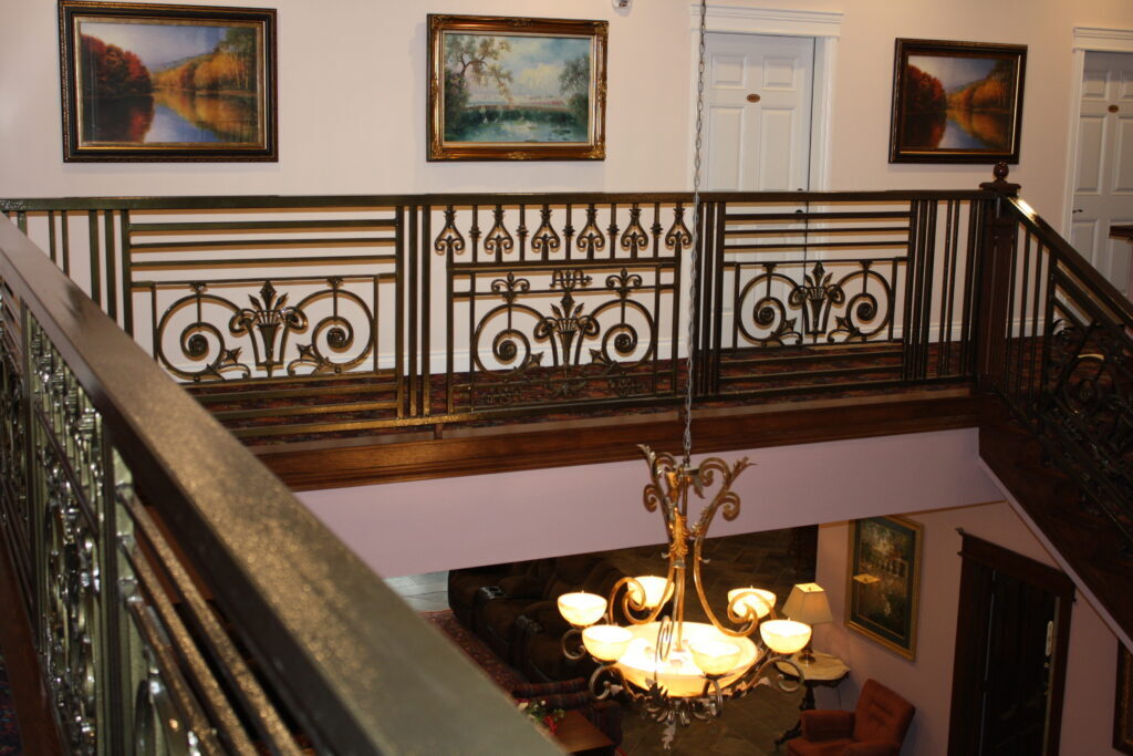
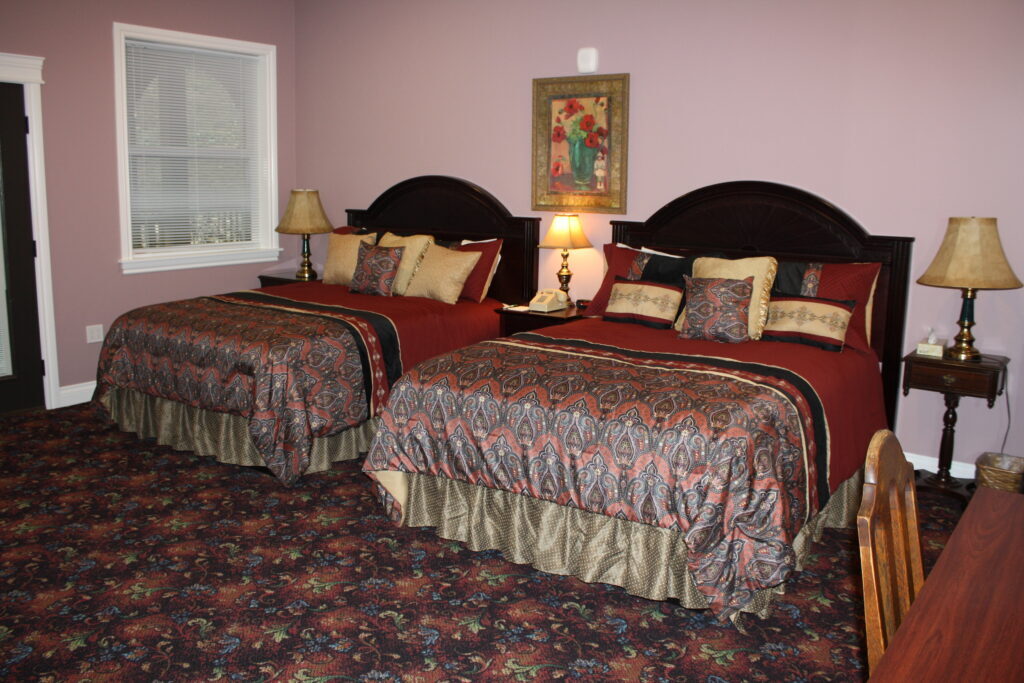
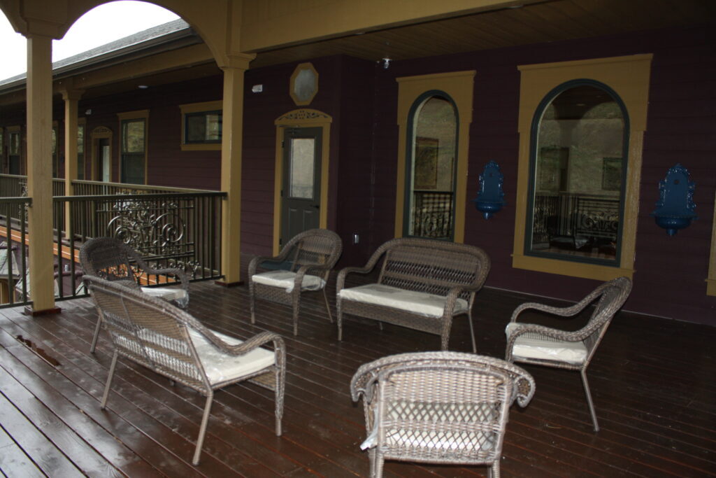
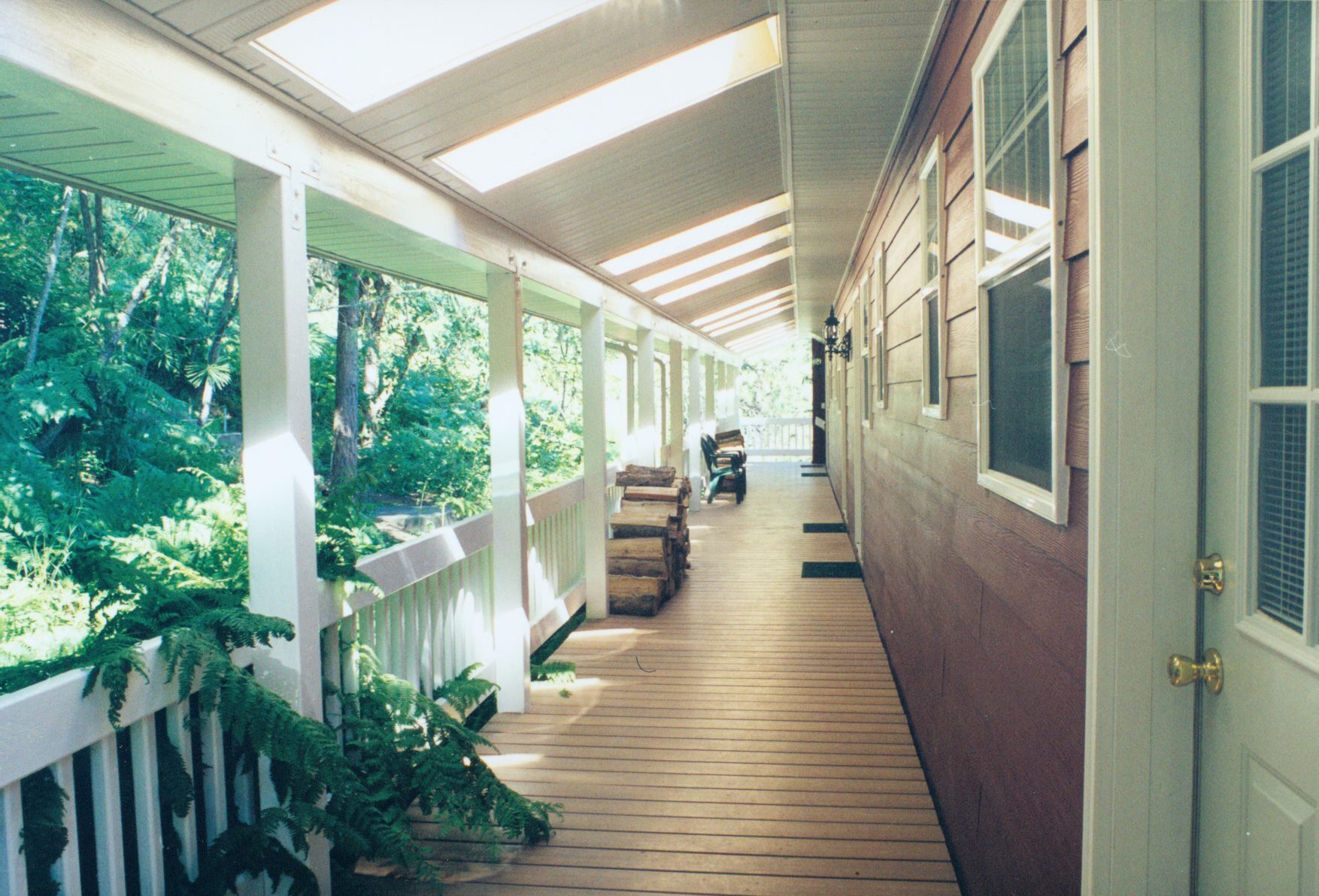
Quiet and romantic, restful and serene, Hearthstone Lodge is an elegant country inn equipped with world class amenities including Jacuzzi tubs for two, forest and river view balconies, cathedral ceilings, canopied custom beds with antique headboards, wood burning fireplaces, embroidered robes, and delicious breakfasts in our in-town bakery to start your day. No details have been overlooked.
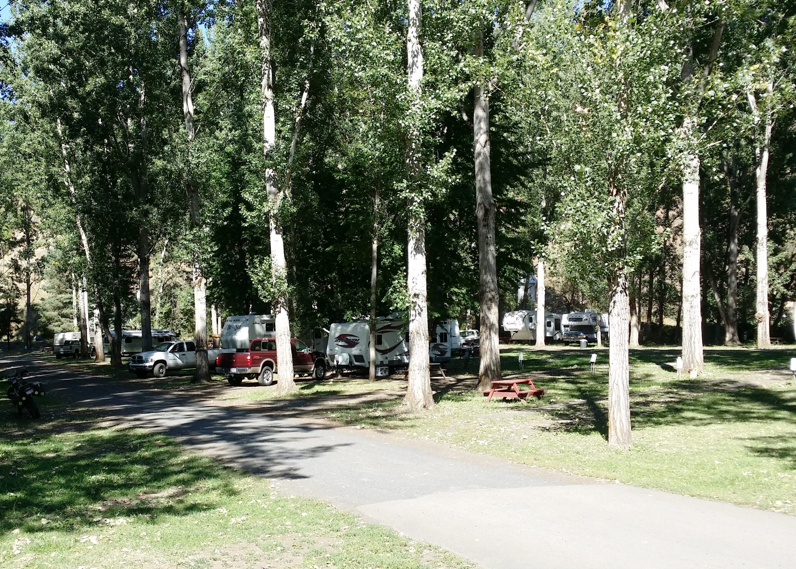
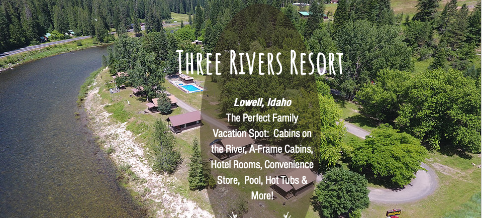
We enjoy serving travelers en route to National Parks and wilderness beauty, Yellowstone and Glacier National Parks, Sun Valley and Tamarack resorts. From businessmen and women to honeymooners, fishermen and hunters, from white water rafters and recreational gold panners to those on their way to South Dakota on their annual pilgrimage to Sturgis, motorcycle mecca, we’ve had the pleasure of serving them all and more !
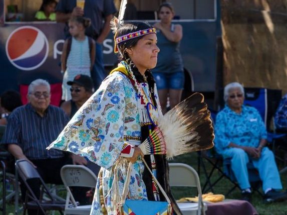
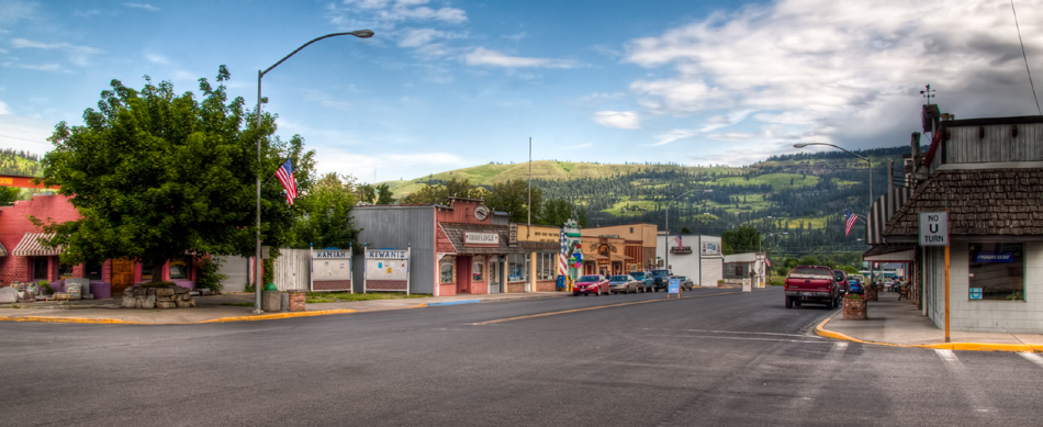
We enjoy national and international travelers. Those interested in the Lewis and Clark expedition or the Nez Perce Indians will have an opportunity to follow the trail. While you are here, take in the sights and sounds of beautiful Idaho, winter, spring, fall or summer, Kamiah is a beautiful, restful place to be.
Distance Unit:
Distance Unit: