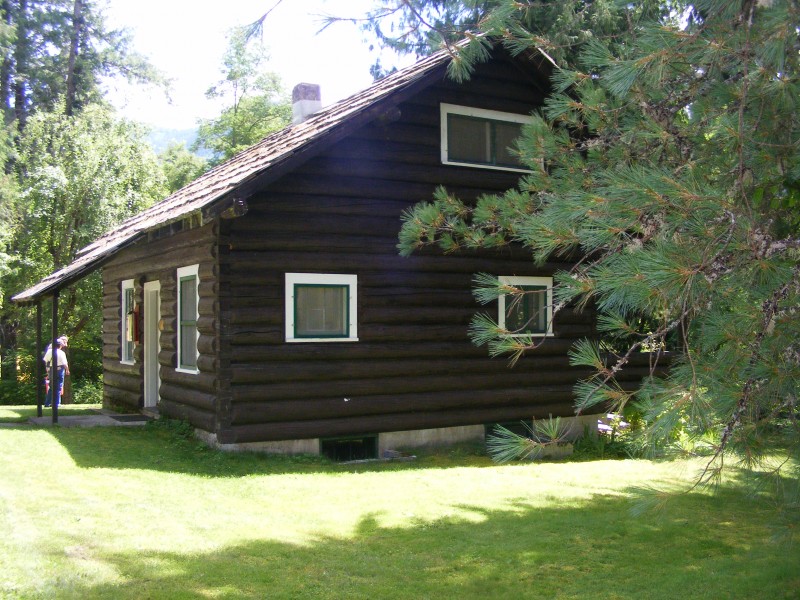
Lochsa Historical Ranger Station
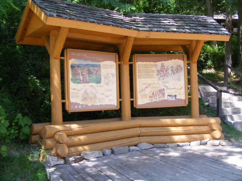
Dating back to the 1920’s and 1930’s, the buildings of the Lochsa Historical Ranger Station were built primarily from native materials packed to the site with mules. The Lochsa Historical Ranger Station is managed to preserve the nostalgic character of a working ranger district typical of the 1920’s.
A self-guided walking tour gives visitors a better understanding of the Forest Service’s 100 year-old heritage.
The station is listed on the National Register of Historic Places.
Distance Unit:
Distance Unit: