Chief Lookingglass PowWow – Nez Perce Tribe
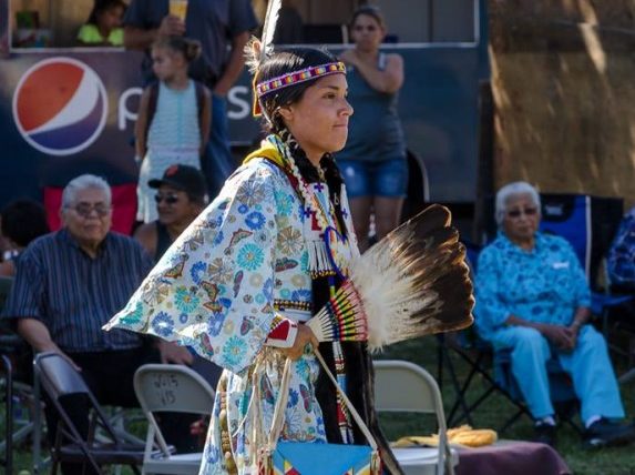
This three-day event is checkered with traditional dancing, drumming, food, memorials, and name-giving ceremonies with all ages—birth to elderly—participating. Powwows are a way of meeting to join in dancing, singing, visiting, renewing old friendships, and making new ones. This is a time to renew American Indian culture and preserve rich heritage. The event is named for the Nez Perce military leader Looking Glass (Allalimya Takanin, born c. 1832- d. 1877). He was a principle Nez Perce architect of many of the military strategies employed by the Nez Perce during the Nez Perce War of 1877. He, along with Chief Joseph, directed the 1877 retreat from eastern Oregon into Montana and onward toward the Canadian border during the Nez Perce War. He inherited his name from his father, the prominent Nez Perce chief Apash Wyakaikt (“Flint Necklace”) or Ippakness Wayhayken (“Looking Glass Around Neck”) and was therefore called by the whites Looking Glass.
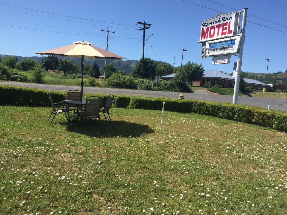
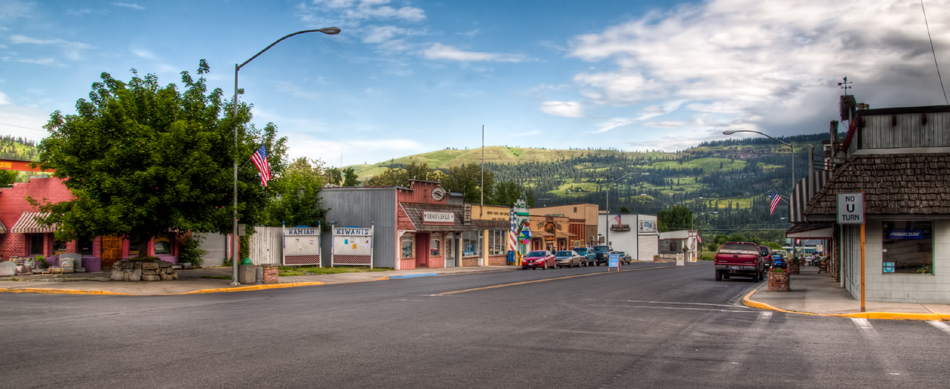
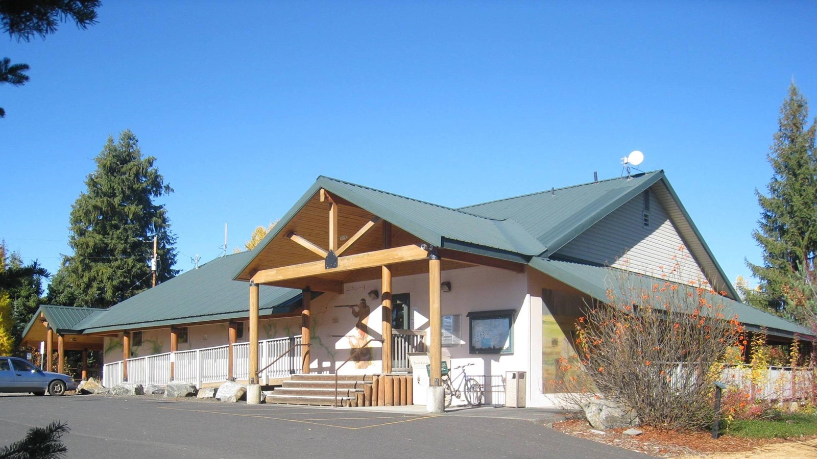
Viewers from throughout the region come to watch the dances, listen to drumming and learn about American Indian traditions. All events take place in and around the Nez Perce Tribe’s Wa’A’Yas Community Center in Kamiah.
Distance Unit:
Distance Unit:

The Blackfoot River, sometimes called the Big Blackfoot River to distinguish it from the Little Blackfoot River, is a snow-fed and spring-fed river in western Montana.


A trail starting at Hauser Dam and overlooking the Missouri River.