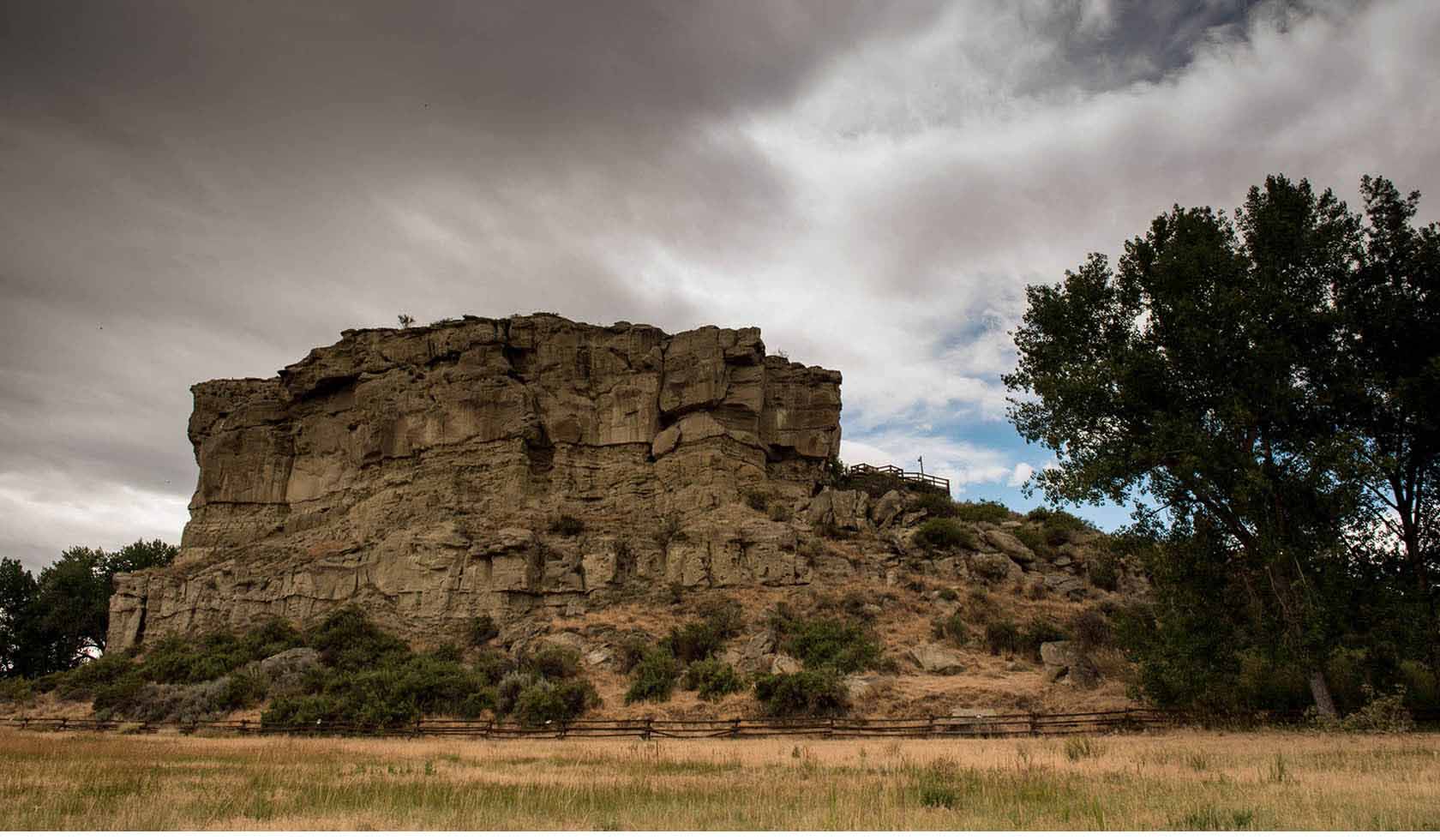
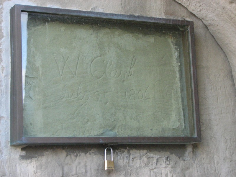
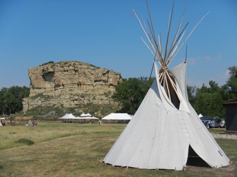
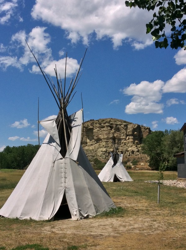
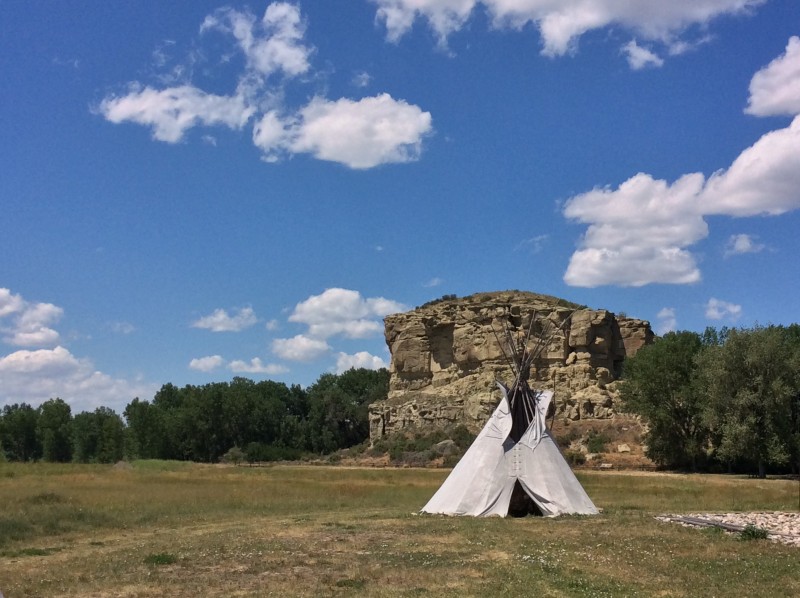
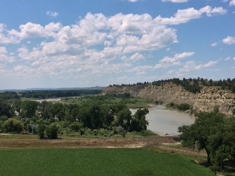
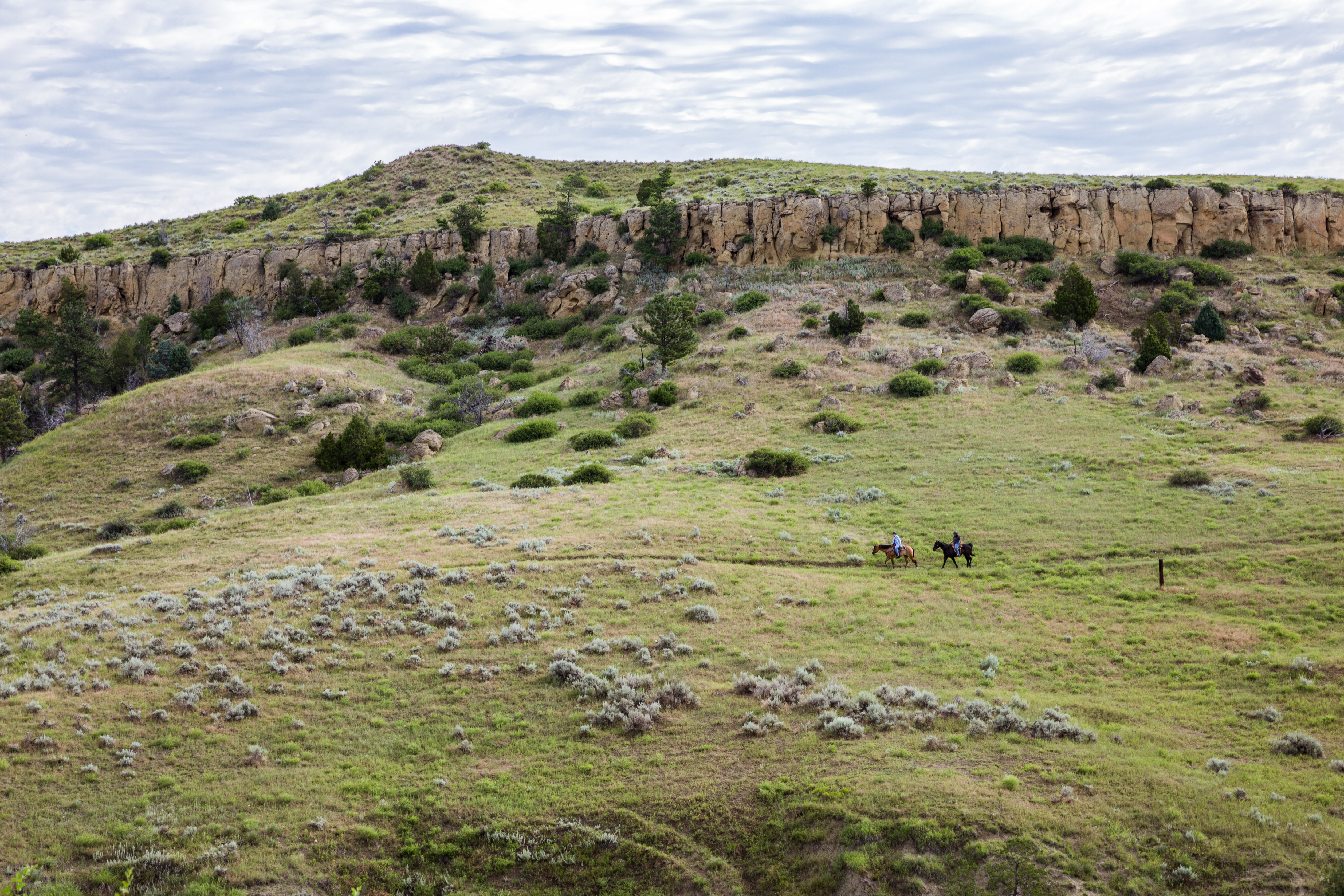
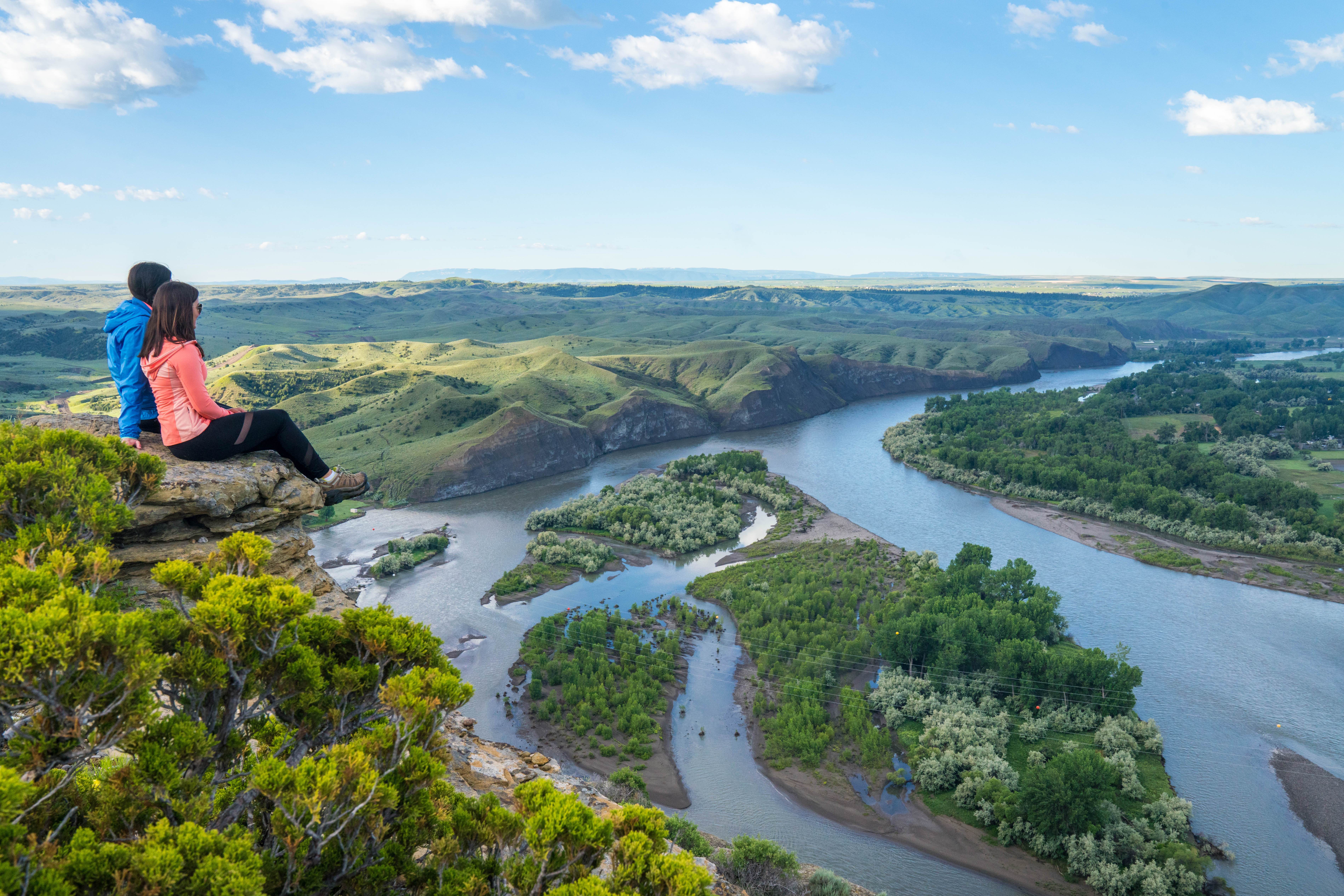
Pompeys Pillar National Monument overlooks the Yellowstone River, approximately 25 miles east of Billings, Montana. Pompeys Pillar is a sandstone butte that bears the signature of Captain William Clark of the Lewis and Clark Expedition, and the date, July 25, 1806, when he passed along the Yellowstone during his return journey. Although Captain Clark referred to this sandstone outcropping in journal as Pompeys Tower, it may have named in honor of Jean Baptiste Charbonneau, Sacagawea’s son, whom he had given the nickname “Pomp.”
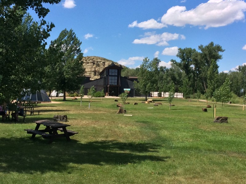
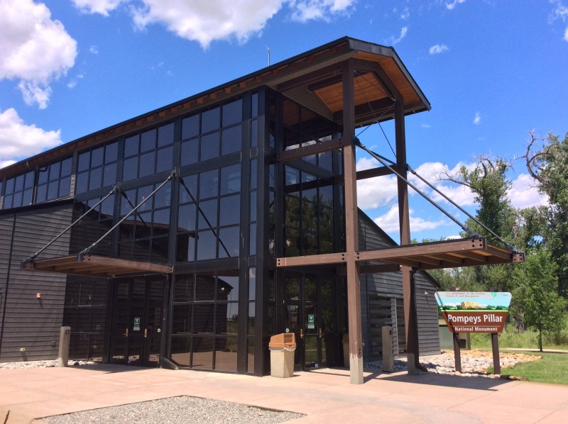
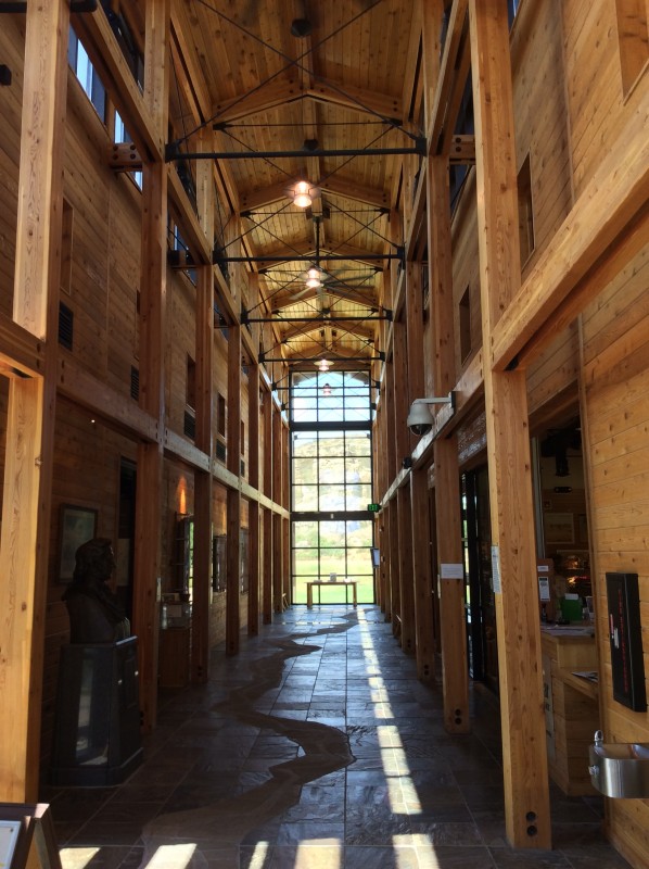
Visit the Riverwalk and Interpretive center located along the way to the Pillar. Here you will find notes from Clark’s journey detailing their experiences in Yellowstone from July 15th 1806 to their came along the Missouri Rivers. The center also has information about the native flora fauna, the indigenous cultures of the area, and the history of Pompeys Pillar. The area also boasts robust bird watching. North of the Pillar, you’ll also find viewing areas of the Yellowstone River.The Pompeys Pillar Interpretive Center opened in 2006 and provides exhibits related to Clark’s 1806 journey through the Yellowstone Valley. The 5,700-square foot center also highlights native culture, flora, fauna, the story of the Corps of Discovery expedition, and the historical legacy of Pompeys Pillar. A gift store, operated by the Friends of Pompeys Pillar, is also located at the interpretive center.