Page Feedback

Four Dances Recreation Area

Four Dances Recreation Area

Information

Open Sunrise to Sunset
406-896-5013
Pets must remain on-leash
lat: 45.7771909 long: -108.4729803
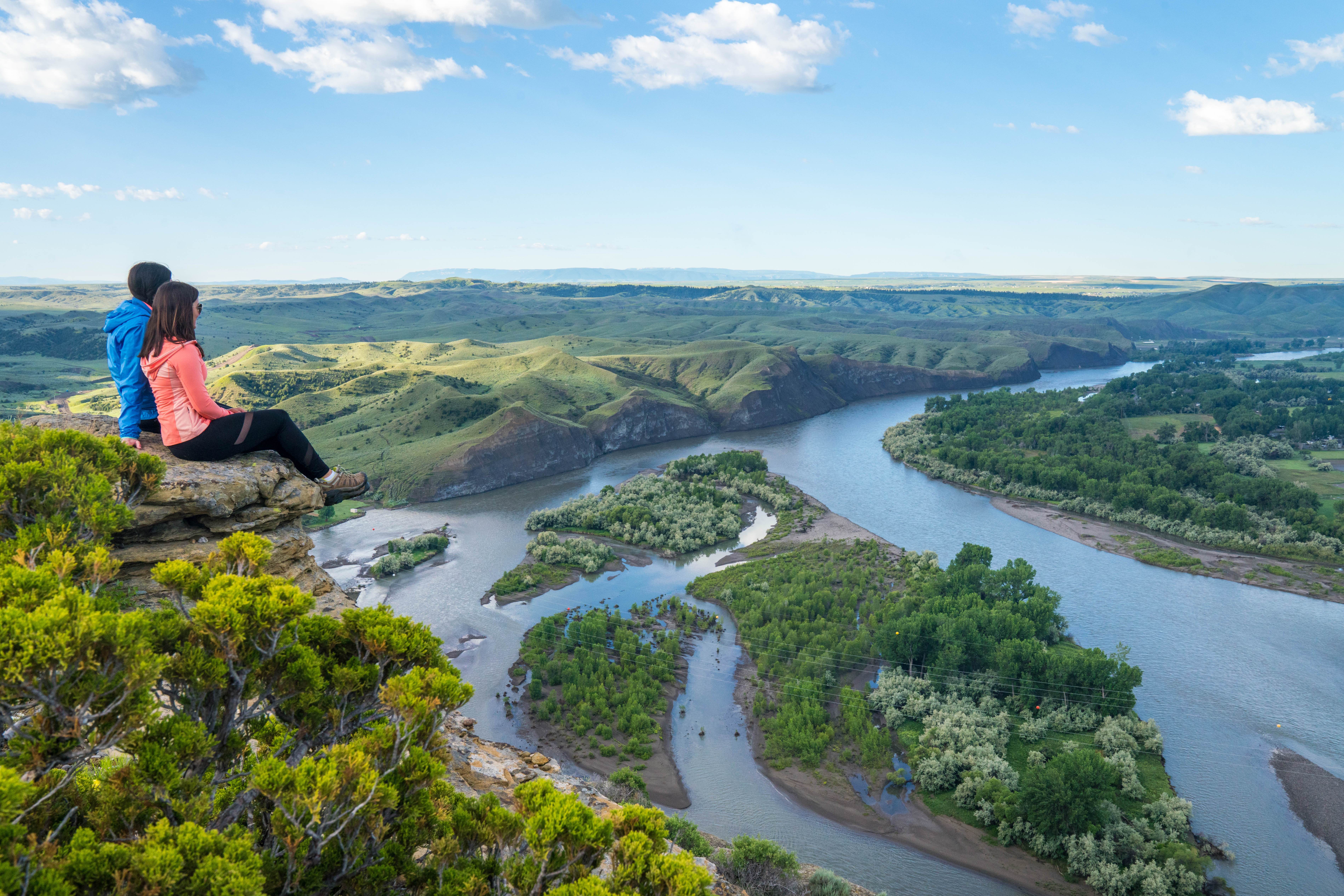
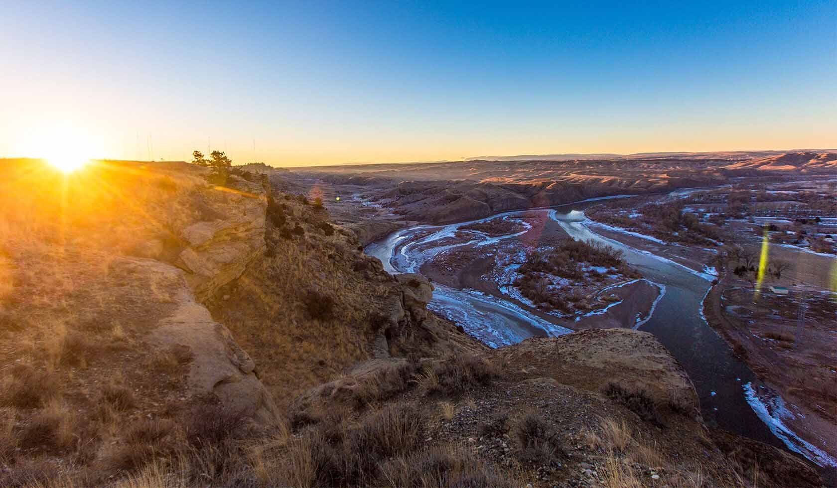
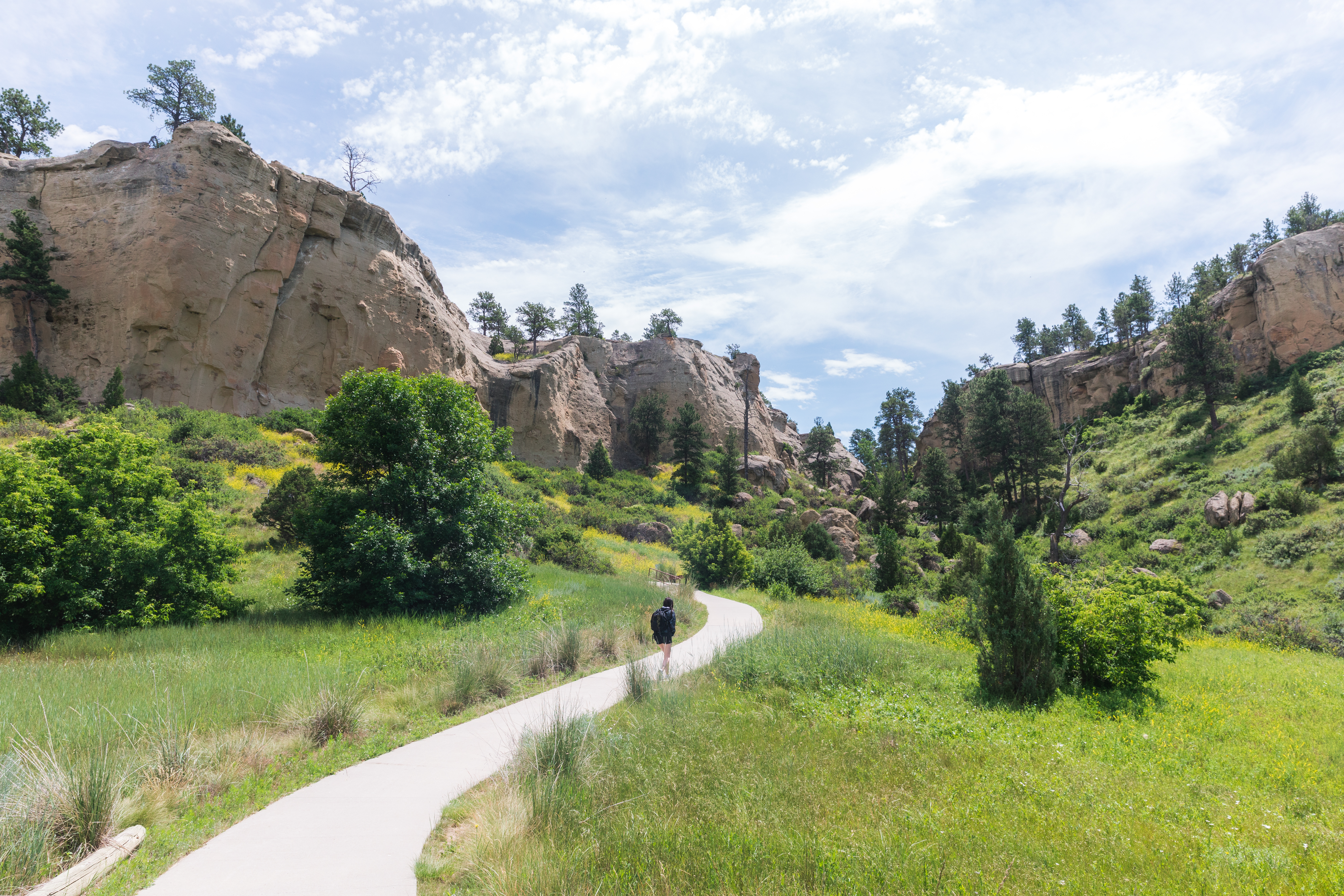
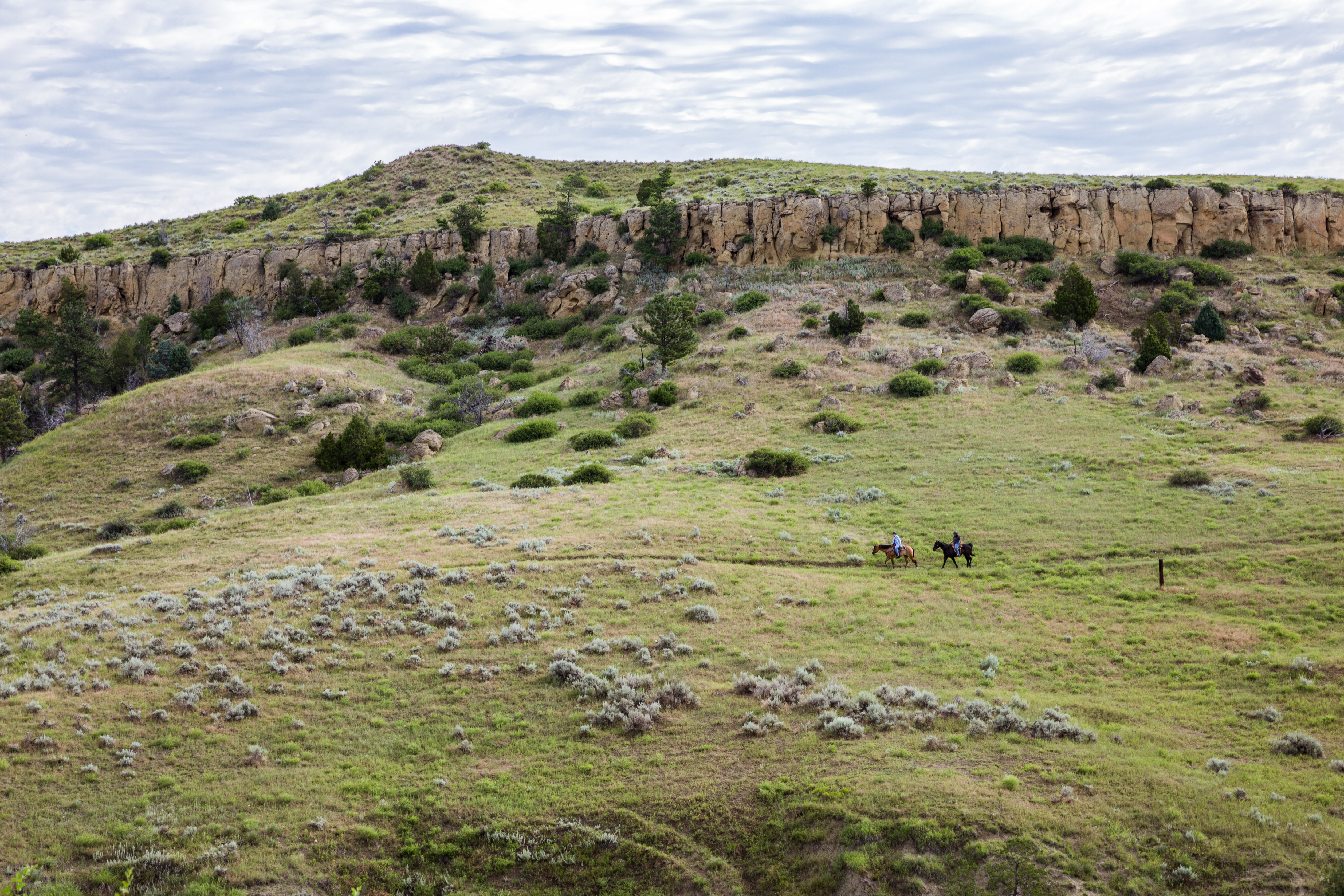
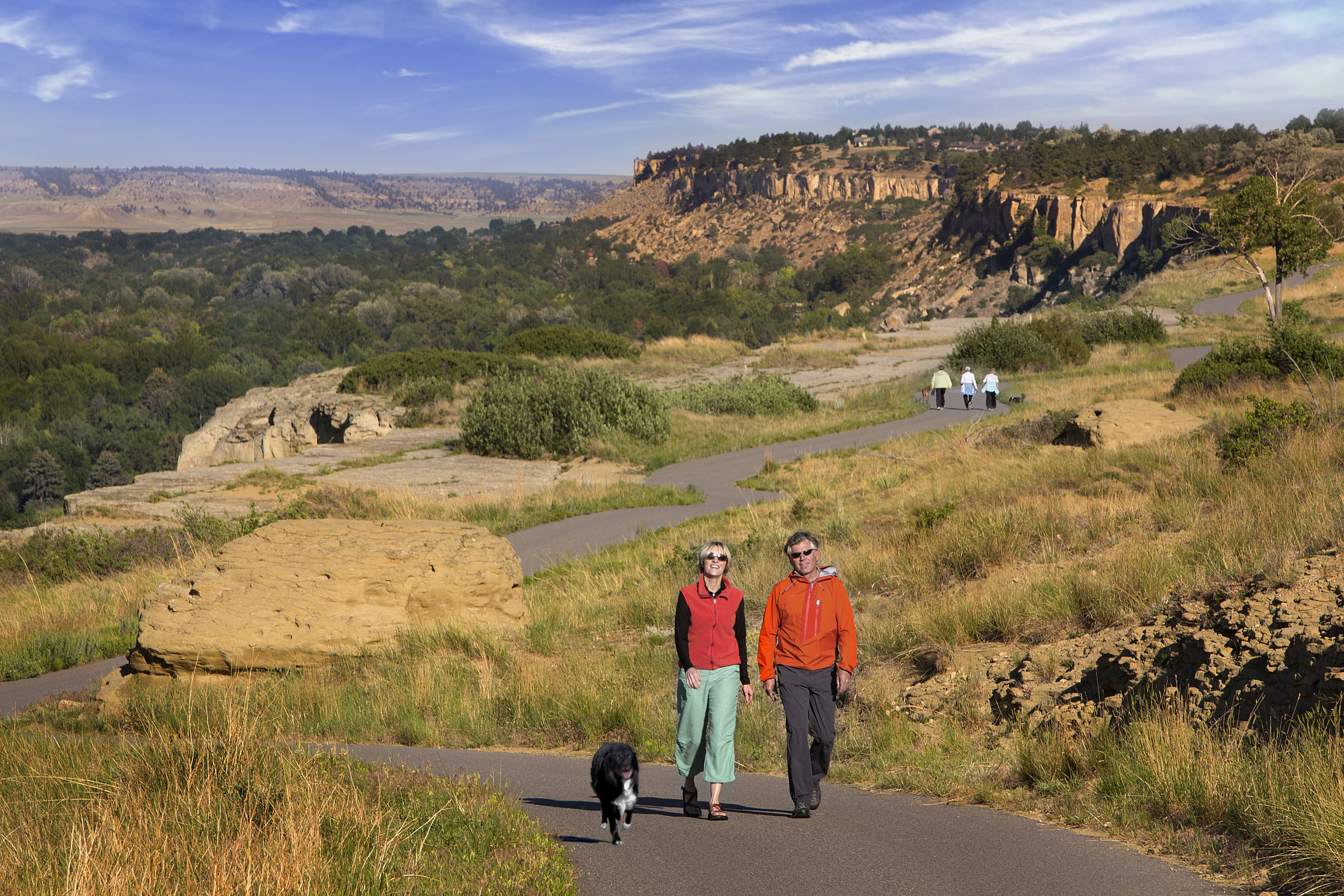
Four Dances is designated a Special Recreation Management Area and an area of critical environmental concern. The area has native sagebrush/grassland, ponderosa pine in the rocky outcrop areas near the river cliffs, and Yellowstone River cottonwood riparian.
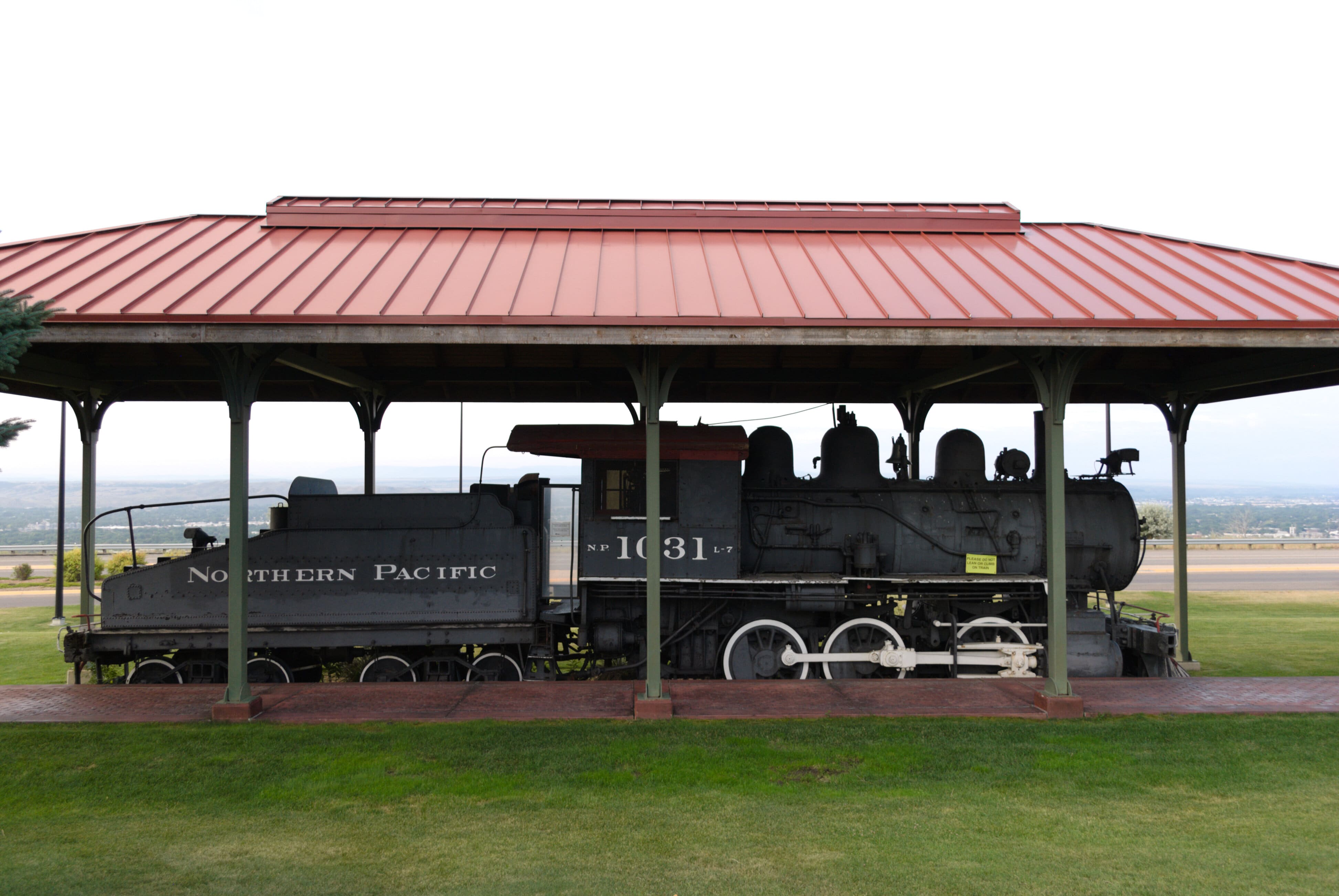
Four Dances was founded by cooperative efforts between landowners, the Yellowstone River Parks Association, and the Bureau of Land Management (BLM) to preserve 765 acres of undeveloped open space in Billings. The BLM’s objective for the site is to protect the open space and natural and cultural resources, while providing dispersed public recreation in Billings.
The area is situated on a plateau just east of Downtown Billings. The plateau is edged with cliffs that drop 200-500 feet to the river and the west boundary is the Yellowstone River. Visitors can take advantage of the following activities:
  • wildlife watching
  • hiking
  • nature photography
  • environmental education
If you want the best views of the Yellowstone River this is your stop!

Nearby Attractions

Distance Unit:

Nearby Trails

Distance Unit:

Missouri River to Hauser Dam

lat: 46.7649385 long: -111.8858237
Buffalo Jump

lat: 47.4796208 long: -111.5247388
Clearwater to Dunnigan Gulch


lat: 46.9505625 long: -113.5433125
Beaver Creek to Hauser Lake

lat: 46.6822743 long: -111.8215701
Lolo Trail to Nee Me Poo Trail #40

lat: 46.58654 long: -114.73281
Explorers at Portage

lat: 47.4925734 long: -111.3073279
Lewis and Clark Pass

lat: 47.1427216 long: -112.4289137
Lewis and Clark Highway

lat: 44.97475 long: -113.44537
Mcnamara to Bonner

lat: 46.9502198 long: -113.3787584
Tower Rock Trail

lat: 47.188617 long: -111.8101938
Old Buffalo Trail 1

lat: 46.9547545 long: -113.5255417
Judith Landing

lat: 47.7408449 long: -109.6284022
Send Feedback

Instagram Feed