Page Feedback

John H. Dover Memorial Park

John H. Dover Memorial Park

Information

406-255-7619
Admission is free, but donations to YRPA are much appreciated
lat: 45.8451195 long: -108.42788

John H. Dover Memorial Park Loop is a 2 mile lightly trafficked loop trail located near Billings, Montana that features a river and is good for all skill levels. The trail is primarily used for hiking, walking, nature trips, and bird watching and is best used from May until October.

John H. Dover Memorial Park is stewarded by the Yellowstone River Parks Association. As is written on the YRPA website, the park “is the culmination of the vision and philanthropy of Jim and Virginia Sindelar, local ranchers, who donated 142 acres of their creek-bottom and pasture land to the Yellowstone River Parks Association for development into a public park with natural features. The Sindelar family ranched the property for three generations after it was homesteaded by their patriarch, John H. Dover, in 1884.”

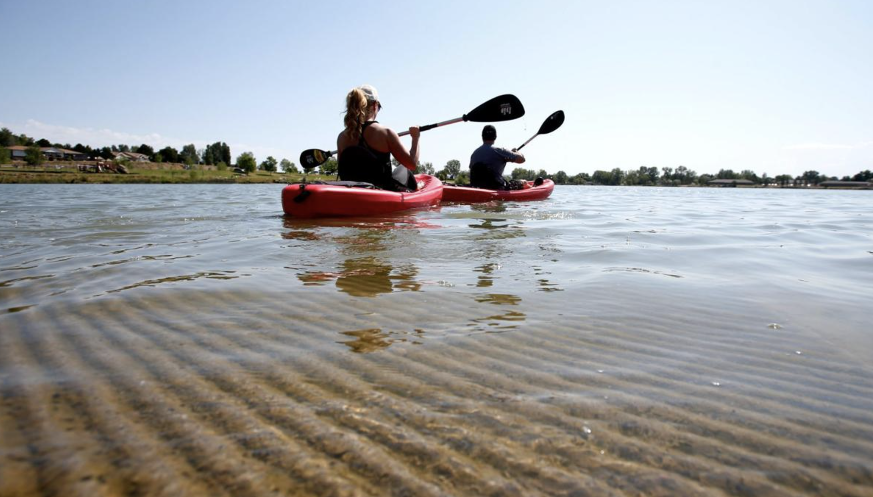
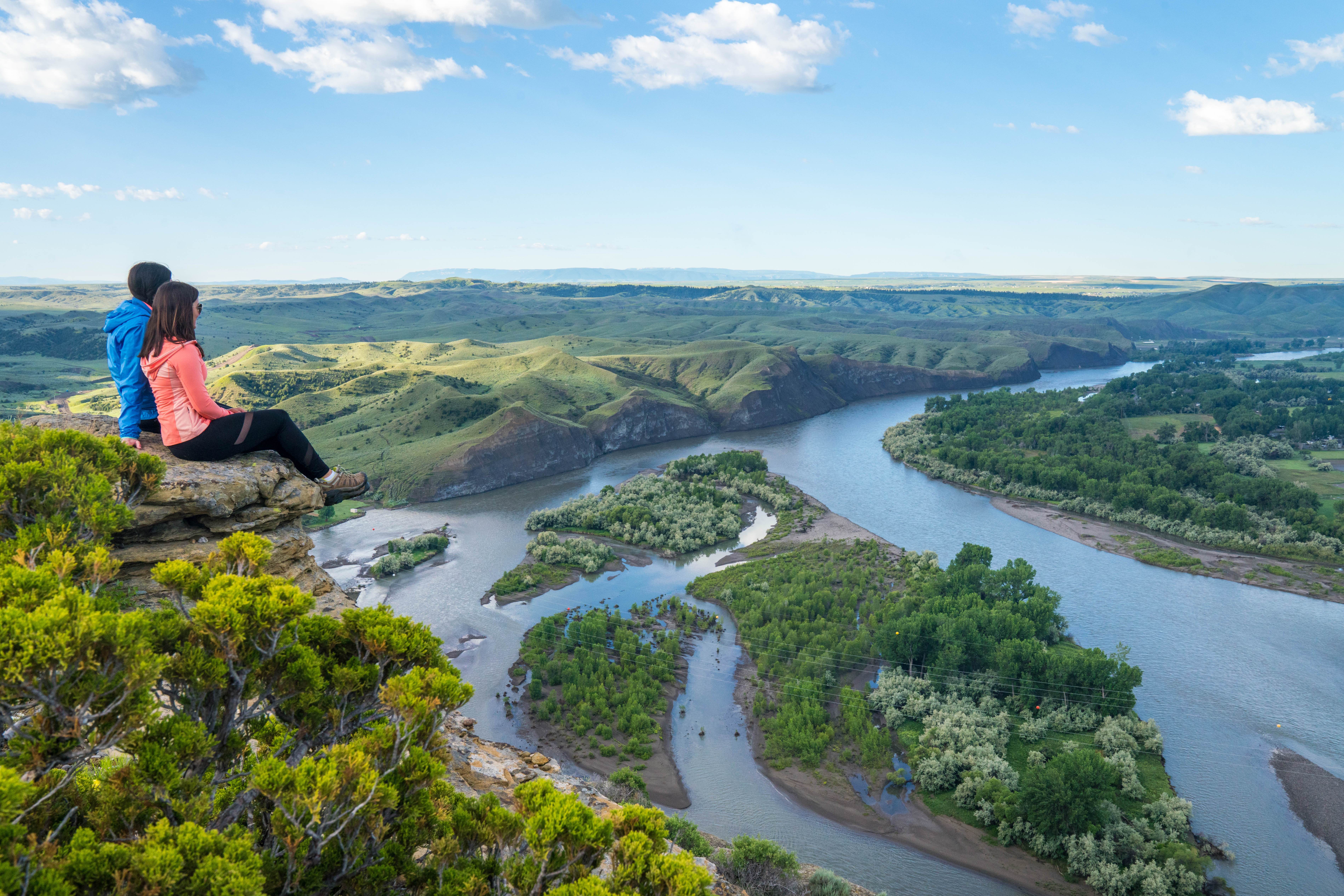
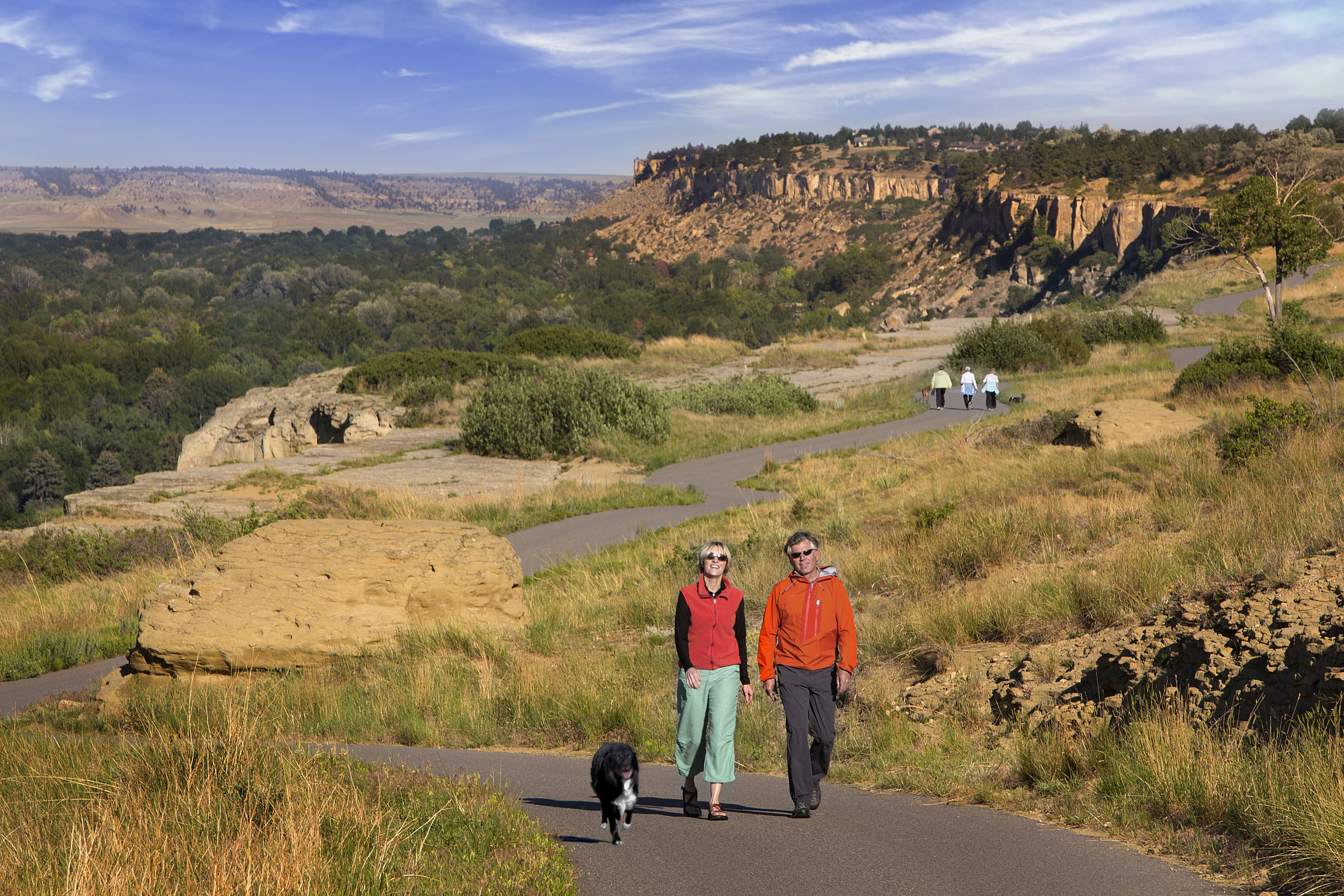
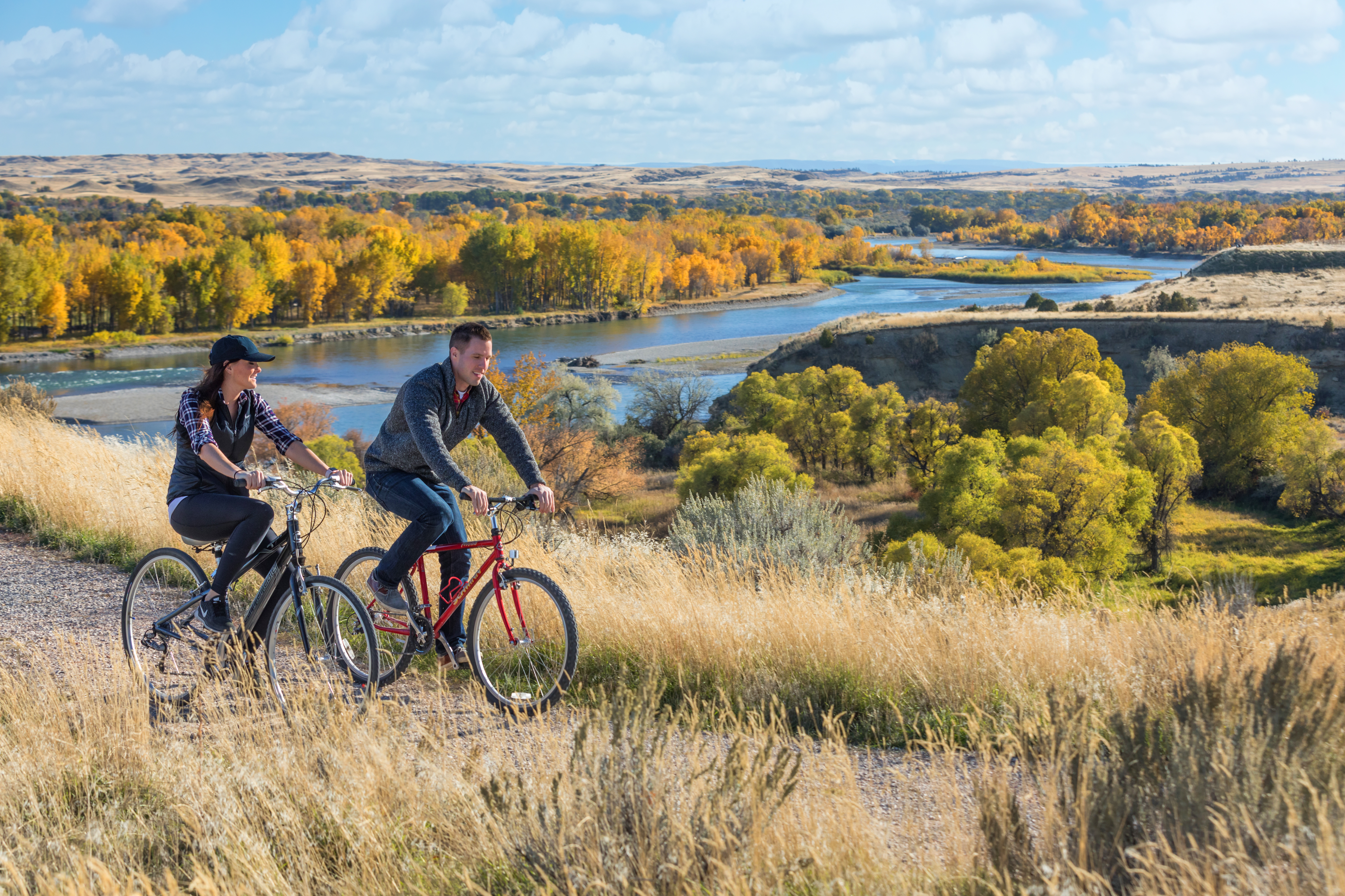
John H. Dover Memorial Park sits on almost a mile of riverfront and includes more than 3 miles of trails for walkers, runners and mountain bikers. Fishers will find fantastic fishing holes along the park’s stretch of Yellowstone River.

Nearby Attractions

Distance Unit:

Nearby Trails

Distance Unit:

Black Sandy Lake Access

lat: 46.7455285 long: -111.8866754
Old Buffalo Trail 3

lat: 46.9547545 long: -113.5255417
Rivers Edge Trail

lat: 47.517582 long: -111.2649299
Upper Hauser Lake to Missouri River

lat: 46.6822743 long: -111.8215701
Missouri River to Hauser Dam

lat: 46.7649385 long: -111.8858237
Lewis and Clark Highway

lat: 44.97475 long: -113.44537
Missouri River Right

lat: 46.6822743 long: -111.8215701
Tower Rock Trail

lat: 47.188617 long: -111.8101938
Coal Banks Landing to Eagle Creek

lat: 48.0338635 long: -110.2279854
Hole in the Wall to Judith Landing

lat: 47.7400888 long: -109.6276312
Missouri River Left

lat: 46.6822743 long: -111.8215701
Ryan Dam

lat: 47.5695678 long: -111.1240541
Send Feedback

Instagram Feed