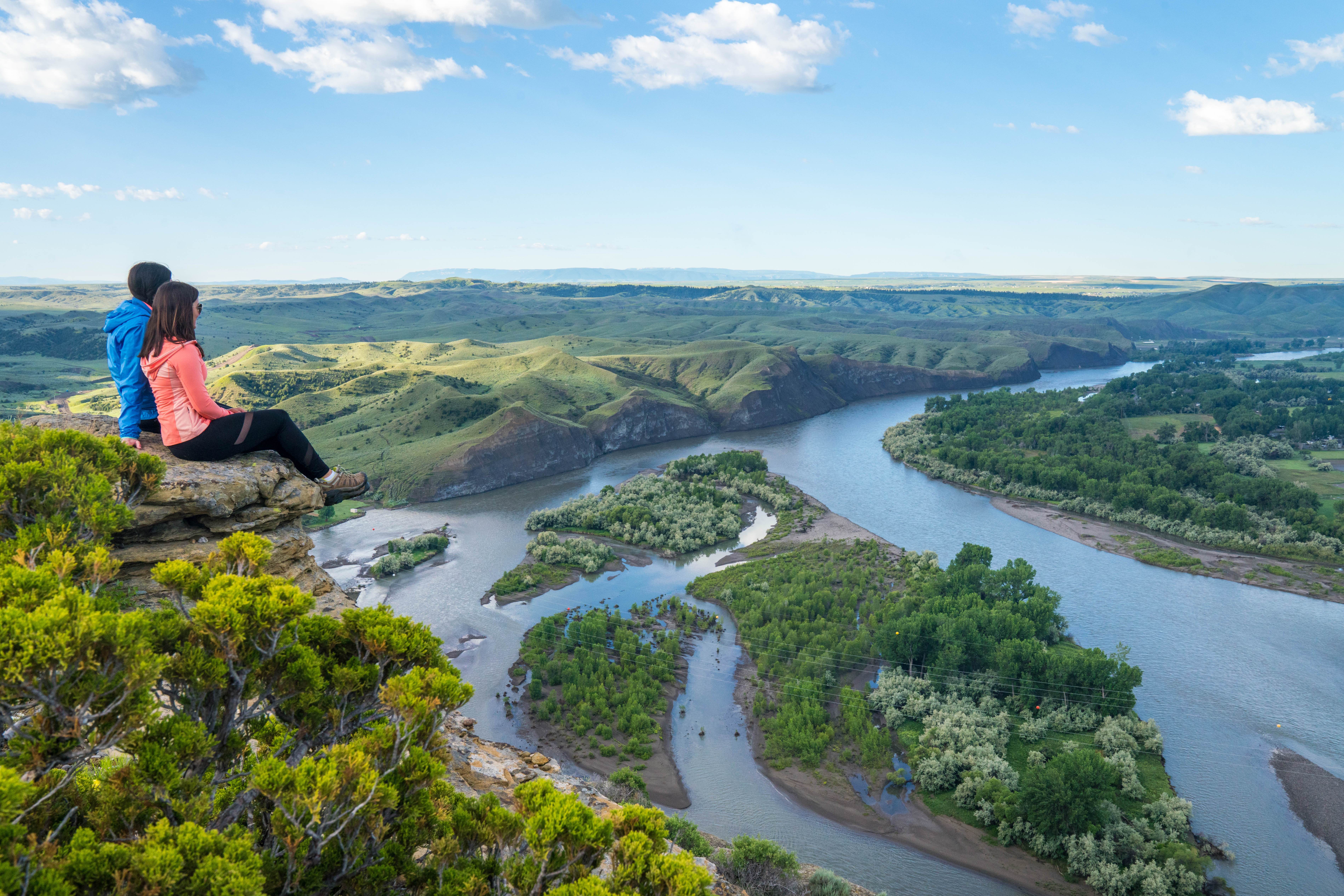
Swords Park
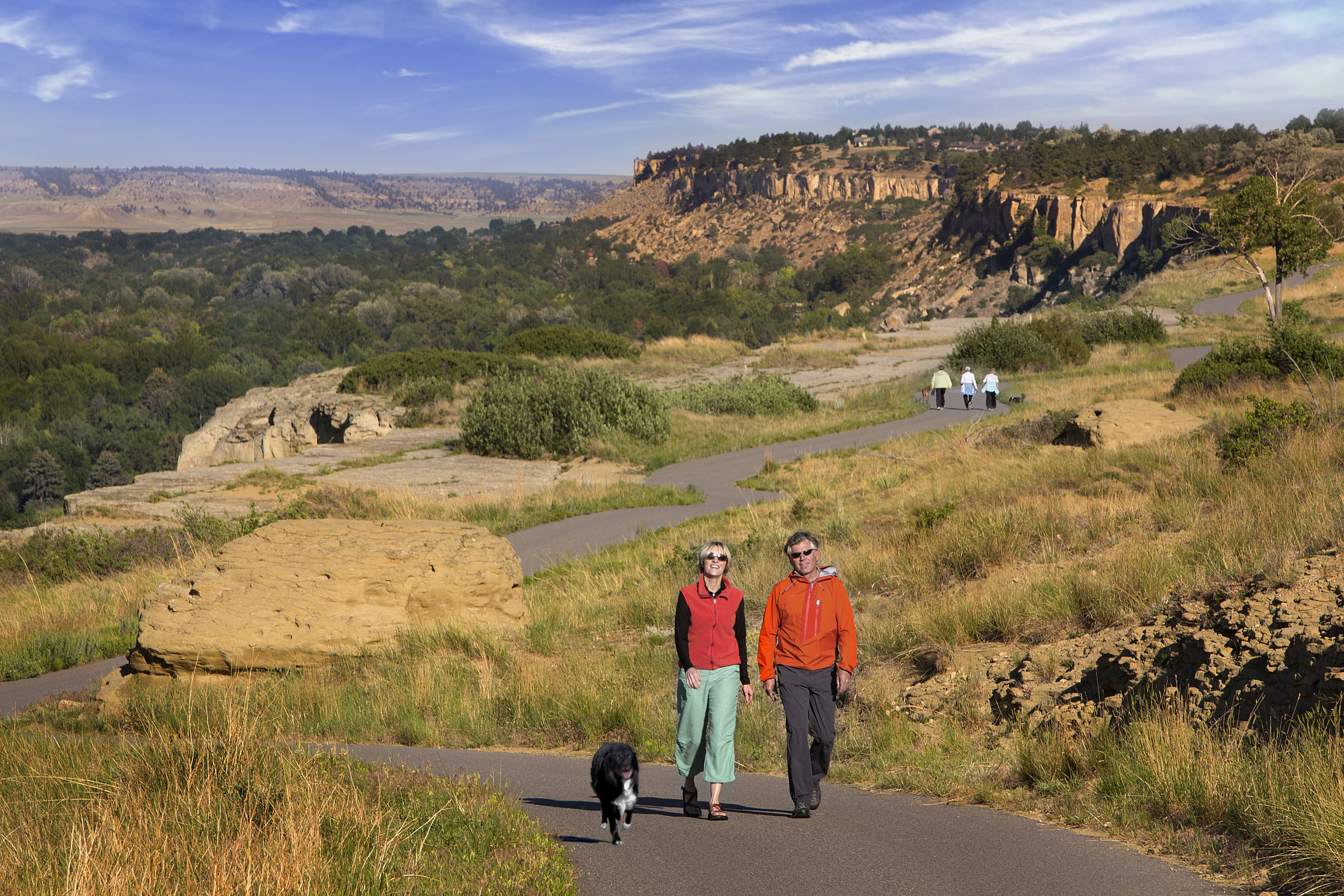
Swords Rimrock Park and Black Otter Trail is considered the gateway to the beautiful city of Billings. This in-town escape provides breathtaking views, historic icons, paved recreational trails, and a Billings experience that should not be missed. Enjoy 2 miles of paved trail in the park, and have the option to embark upon the leisurely 5 mile ride to the Yellowstone river.
History of Swords Rimrock Park: George Sword’s deeded rim top land to Billings in the late 1920s and early 1930s, and the city changed the name of the park to “Swords Rimrock Park.” The road that ran through it completed in 1938, was named in honor of late Crow Indian Chief Black Otter. Black Otter was killed in 1861 and laid to rest near the high point of the park, near the present location of Yellowstone Kelly’s grave.
Take in breathtaking views of the city from atop the Rimrocks. It’s an unforgettable experience.
Featured in https://southeastmontana.com/swords-rimrock-park
Distance Unit:
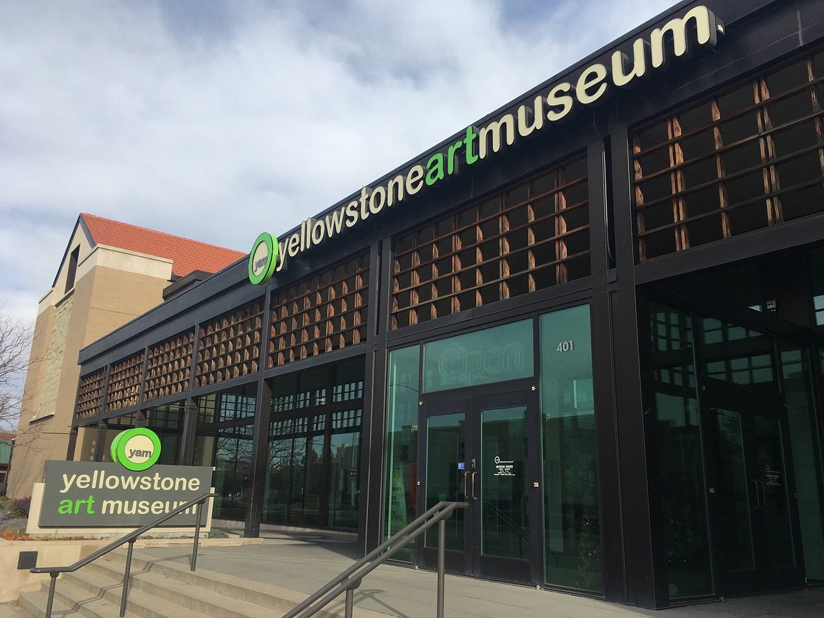
Yellowstone Art Museum, North 27th Street, Billings, MT, USA
Distance: 0.93 Away
Galleries and Venues Museums and Interpretive Centers
View Listing
Harry Koyama Fine Art, Montana Avenue, Billings, MT, USA
Distance: 1.16 Away
Wise Wonders Science and Discovery Museum, 2nd Avenue North, Billings, MT, USA
Distance: 1.26 Away
Museums and Interpretive Centers
View Listing
Western Heritage Center, Montana Avenue, Billings, MT, USA
Distance: 1.29 Away
Museums and Interpretive Centers Guided Tours
View Listing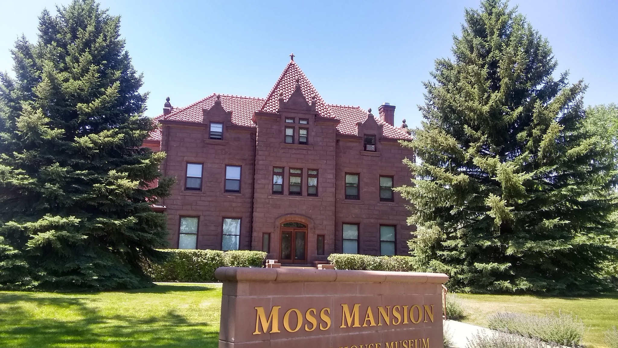
Moss Mansion, Division Street, Billings, MT, USA
Distance: 1.41 Away
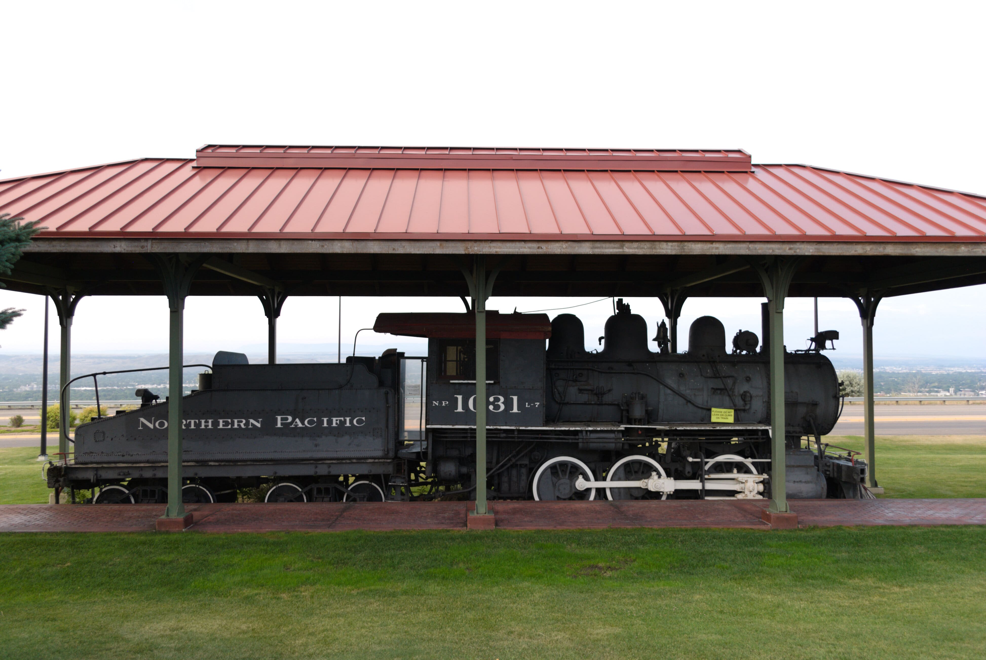
Yellowstone County Museum, Terminal Circle, Billings, MT, USA
Distance: 1.47 Away
Museums and Interpretive Centers Guided Tours
View Listing
Billings Chamber of Commerce, 815 South 27th Street, Billings, MT 59101, USA
Distance: 1.84 Away
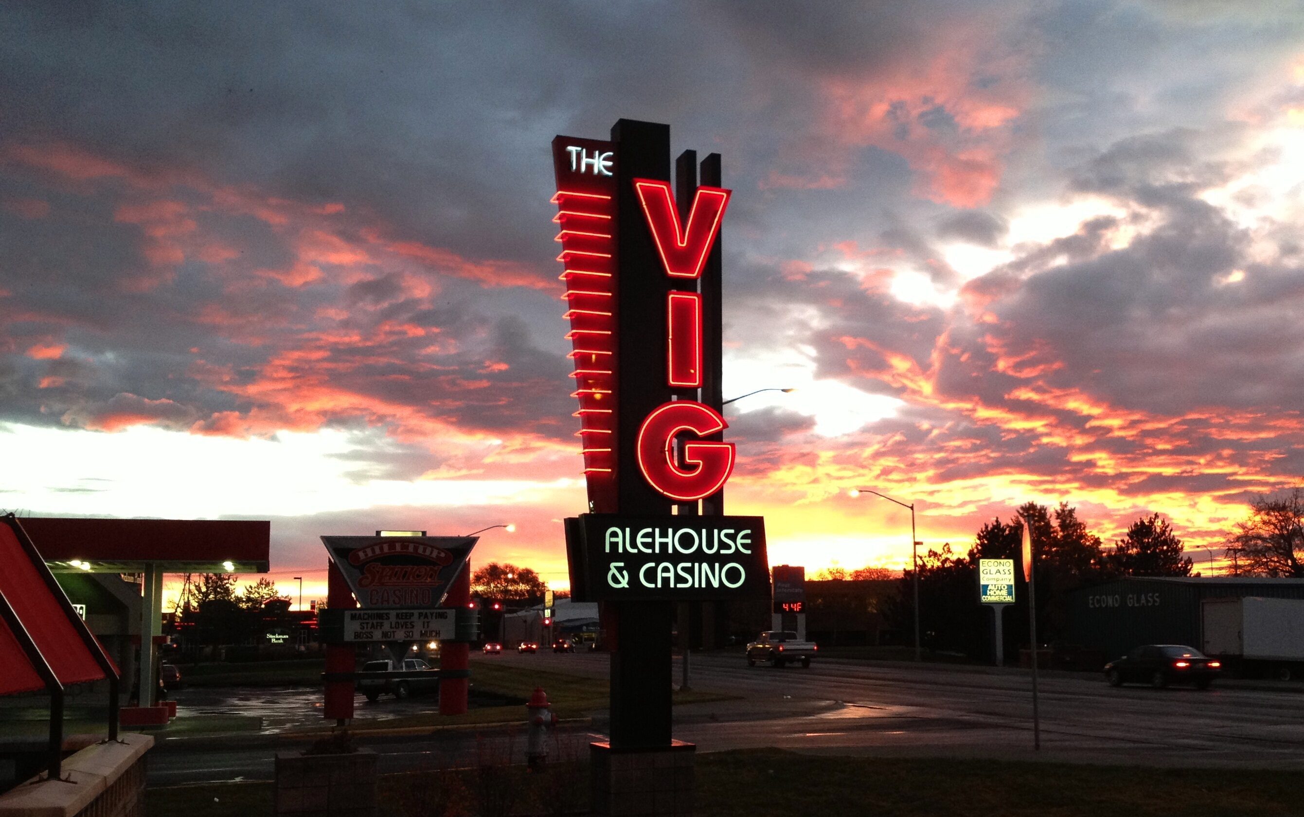
The Vig | Alehouse & Casino, Hilltop Road, Billings, MT, USA
Distance: 1.88 Away
Four Dances Recreation Area, Billings, MT, USA
Distance: 2.25 Away
Outdoor Experiences Walks and Hikes Viewpoints
View Listing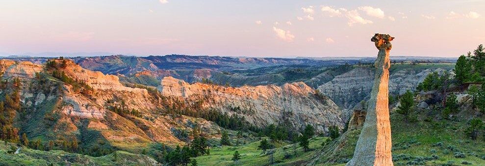
Montana Fun Adventures, Howard Avenue, Billings, MT, USA
Distance: 2.75 Away
Guided Tours Outdoor Experiences
View Listing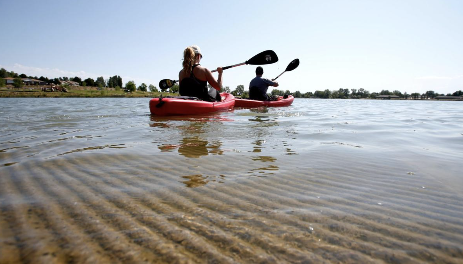
Lake Elmo State Park, Rolling Hills Drive, Billings, MT, USA
Distance: 3.41 Away
