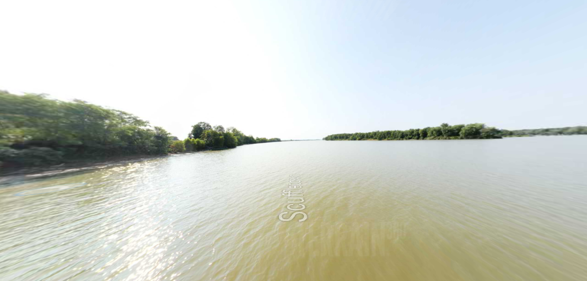
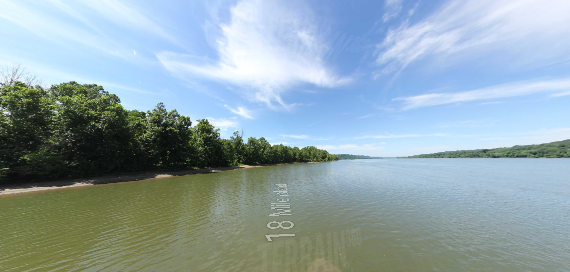
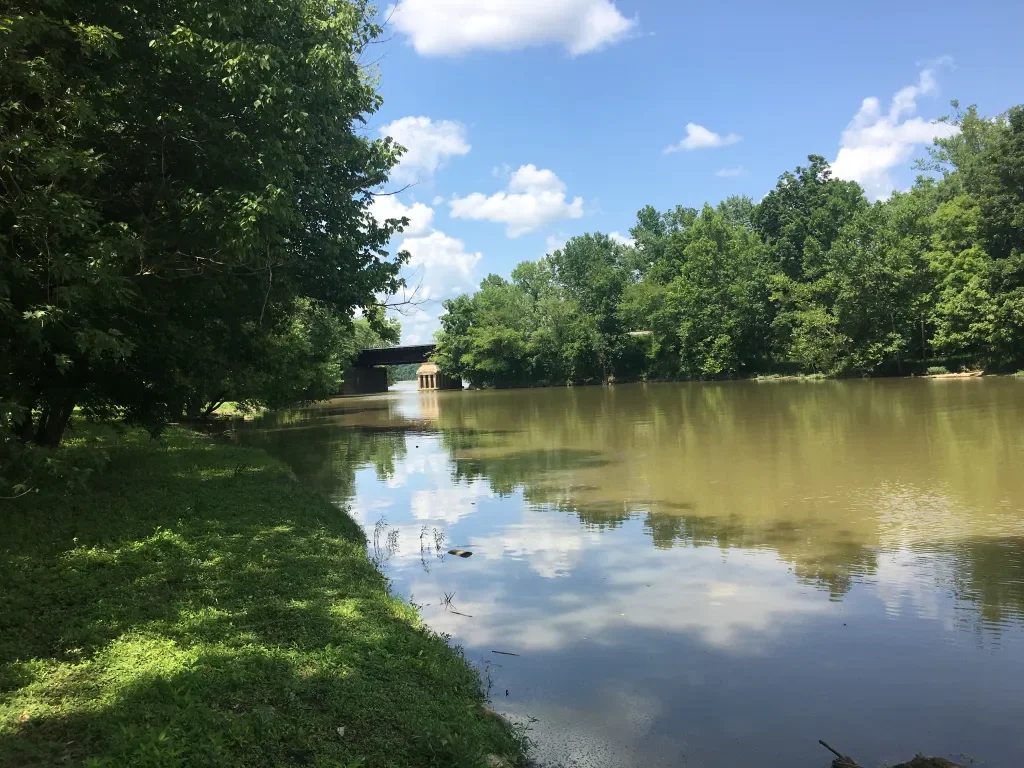
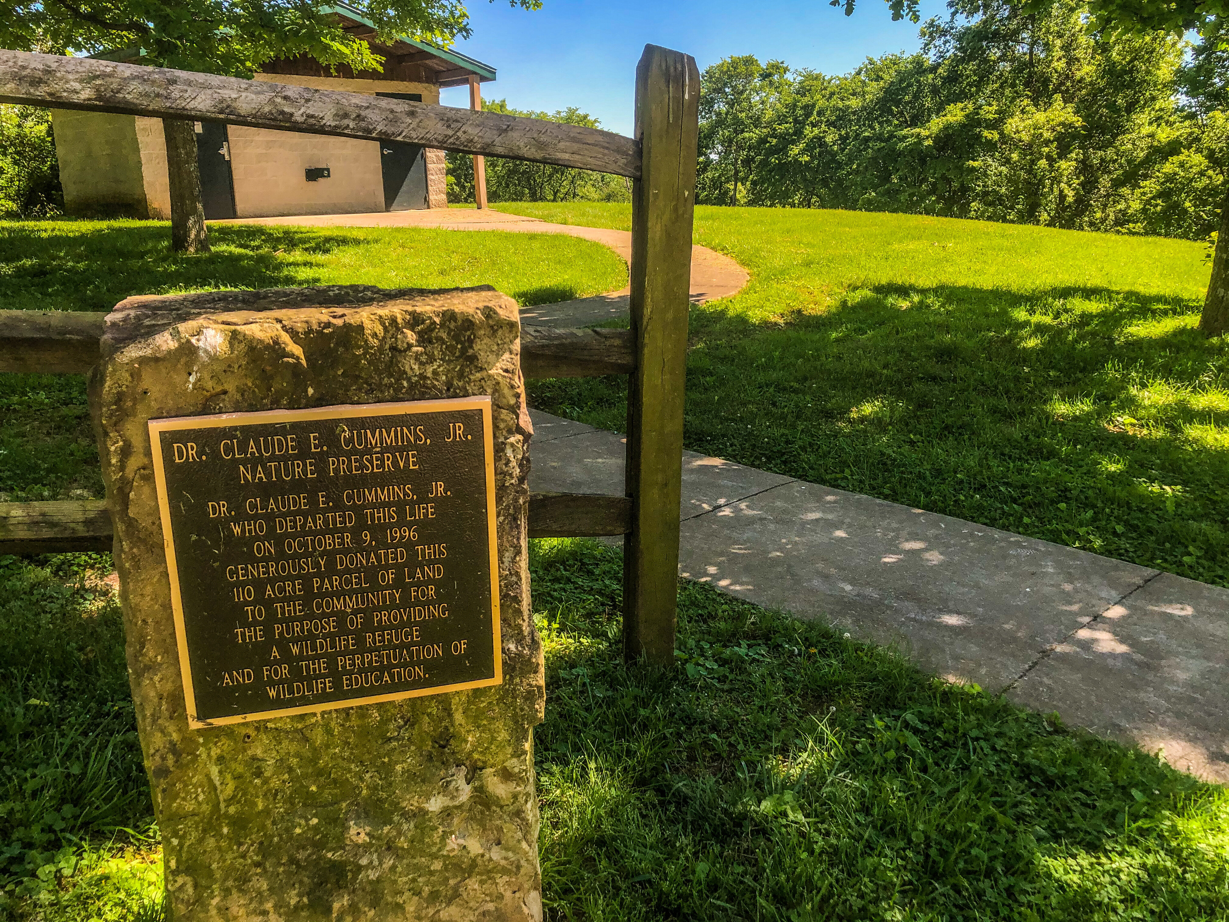
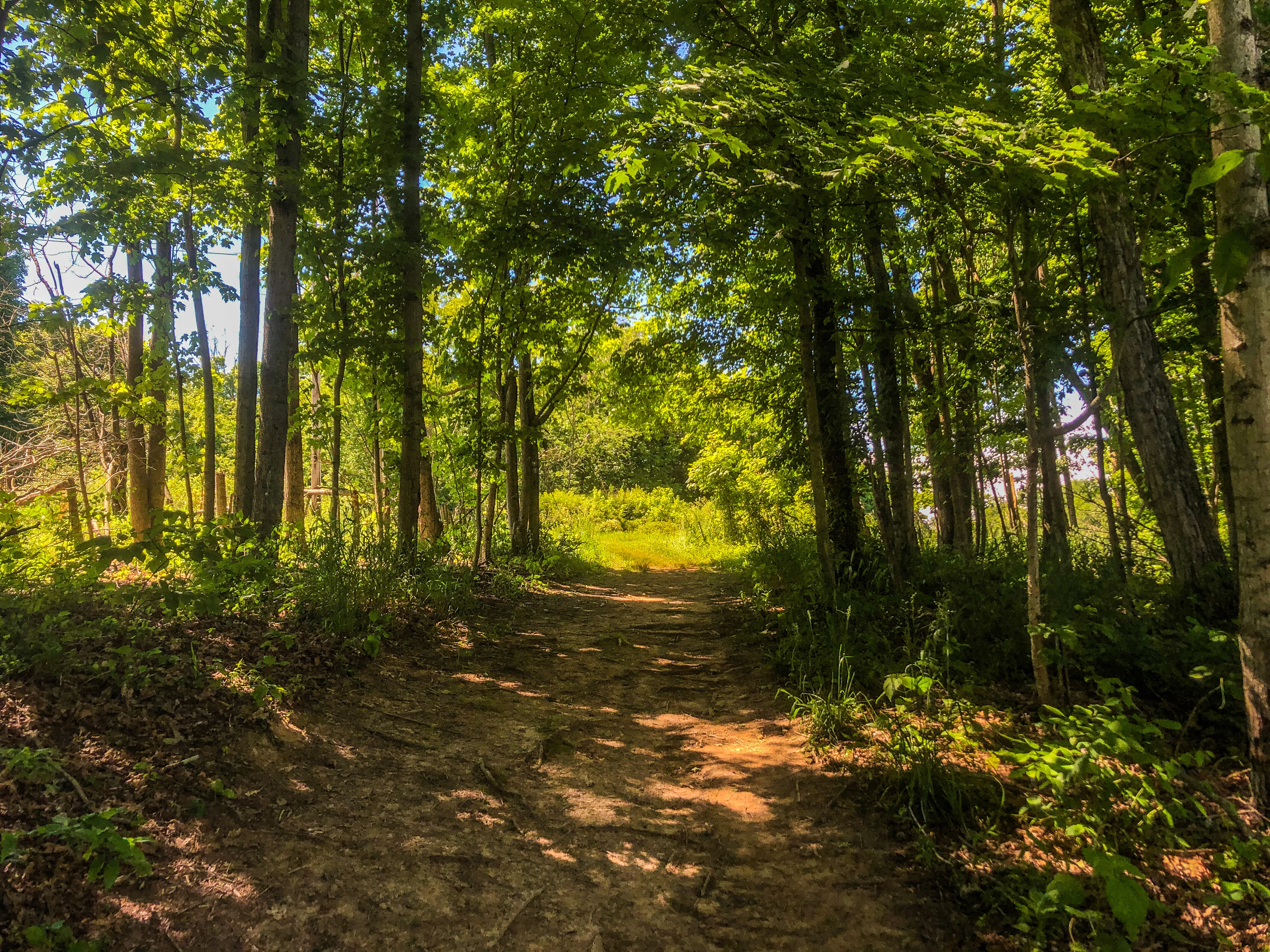
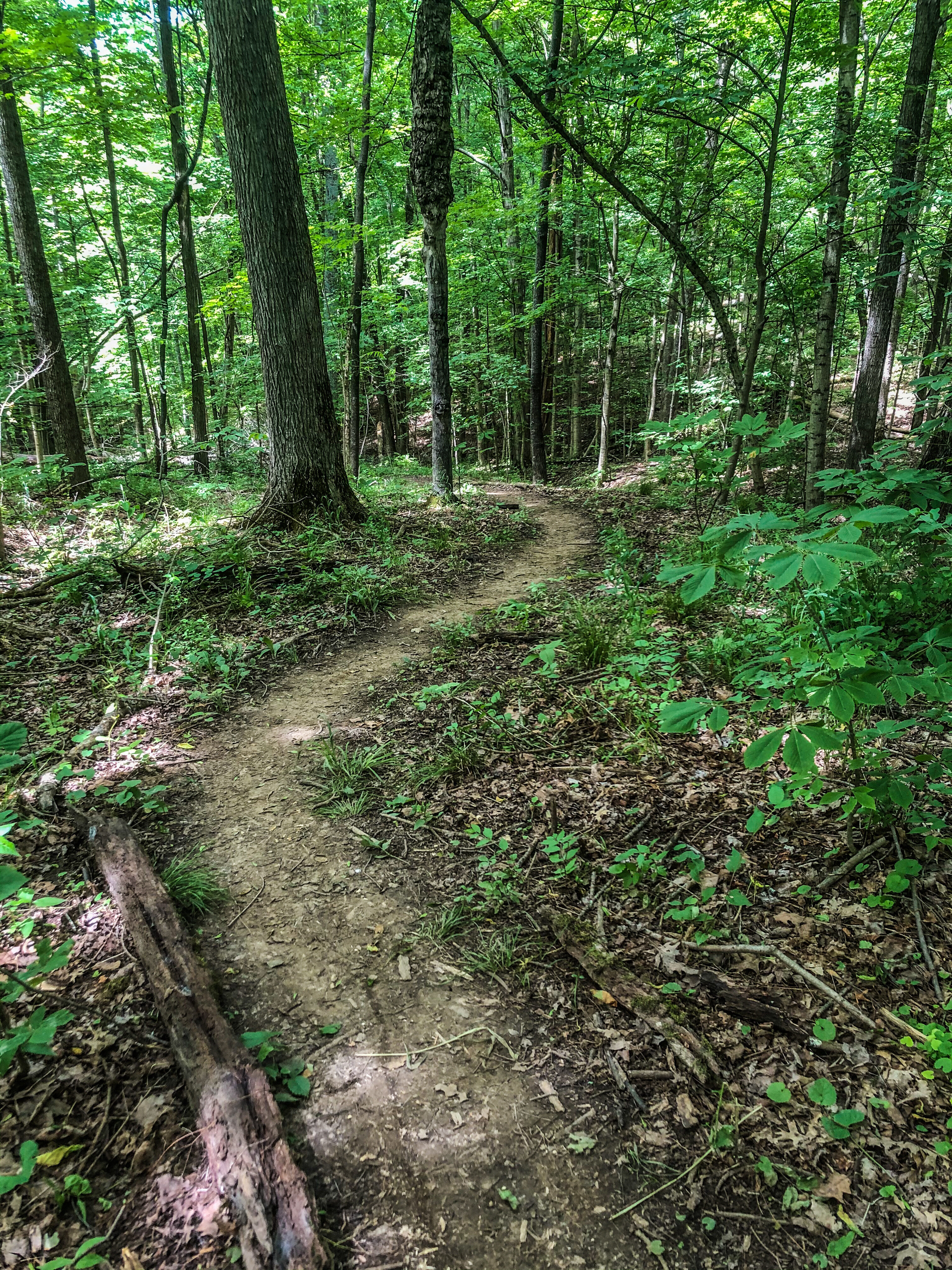
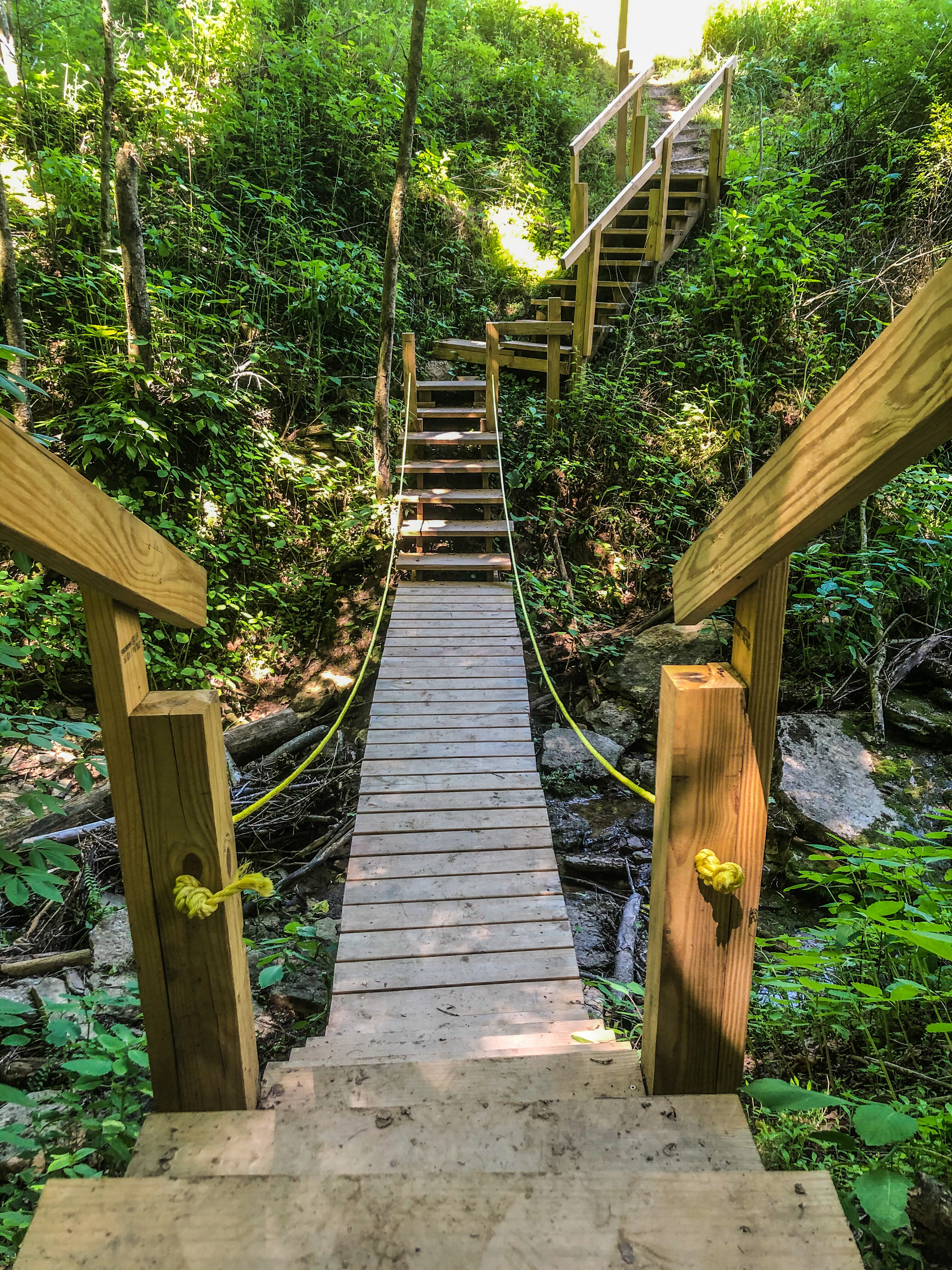
Cummins Nature Preserve
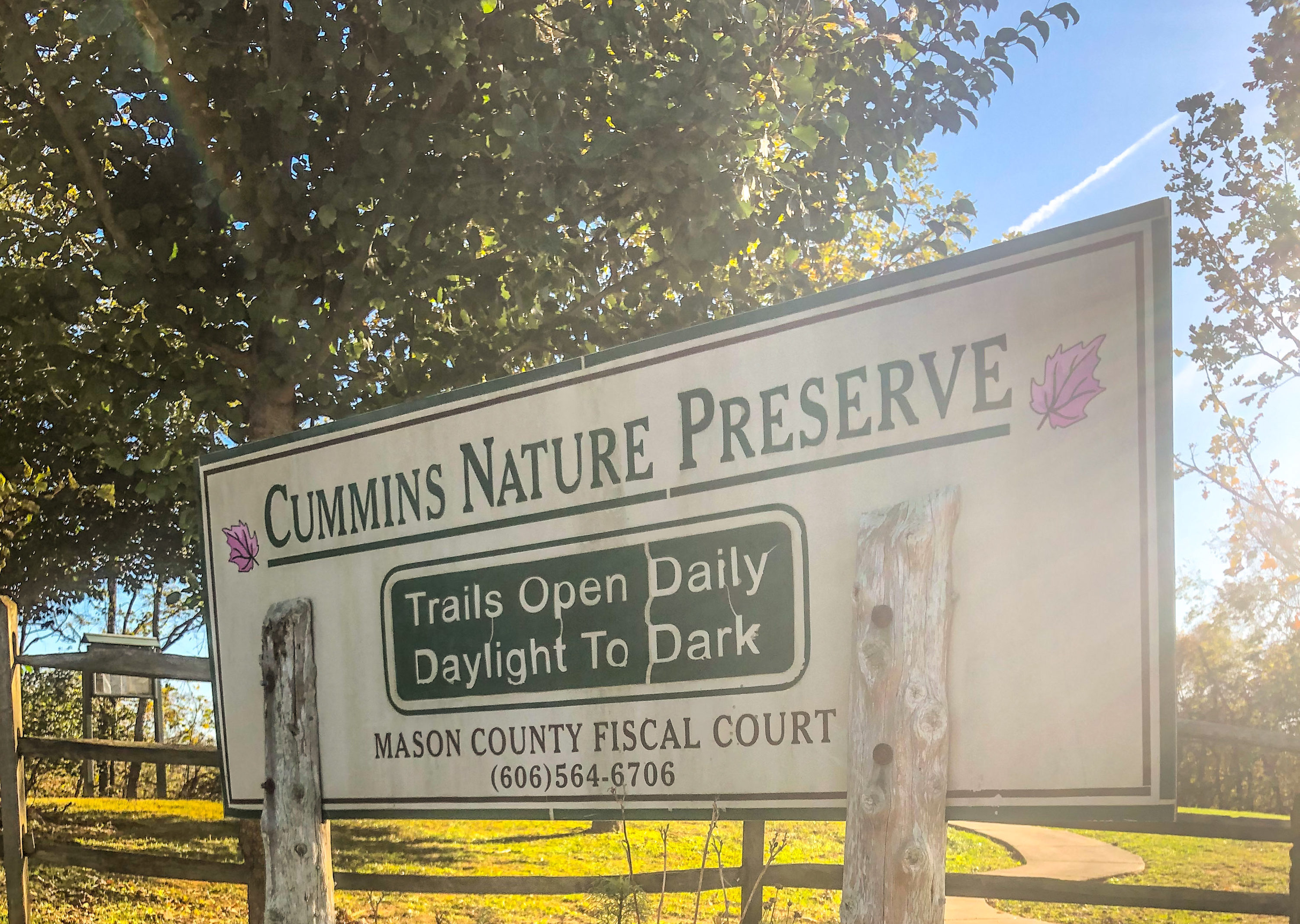
Cummins Nature Preserve is a 110 acre recreation area located just minutes from the heart of Maysville. Through proper preservation this unique location offers hiking/walking trails, animal habitats and endless educational opportunities.
Free guided hikes are offered throughout the season and the preserve is open year round to foot traffic. There are also numerous educational classes that ranges from print identification to edible plants. You can even take advantage of a few primitive camping spots during the main season of March-November.
Distance Unit:
Distance Unit: