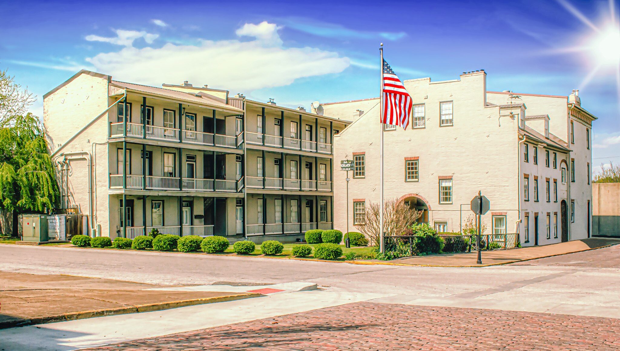
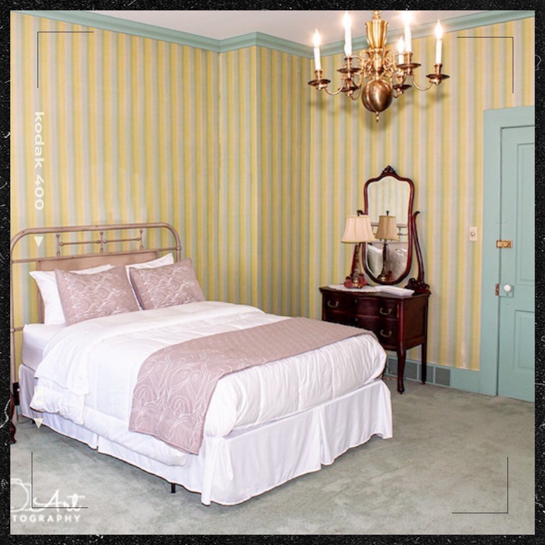
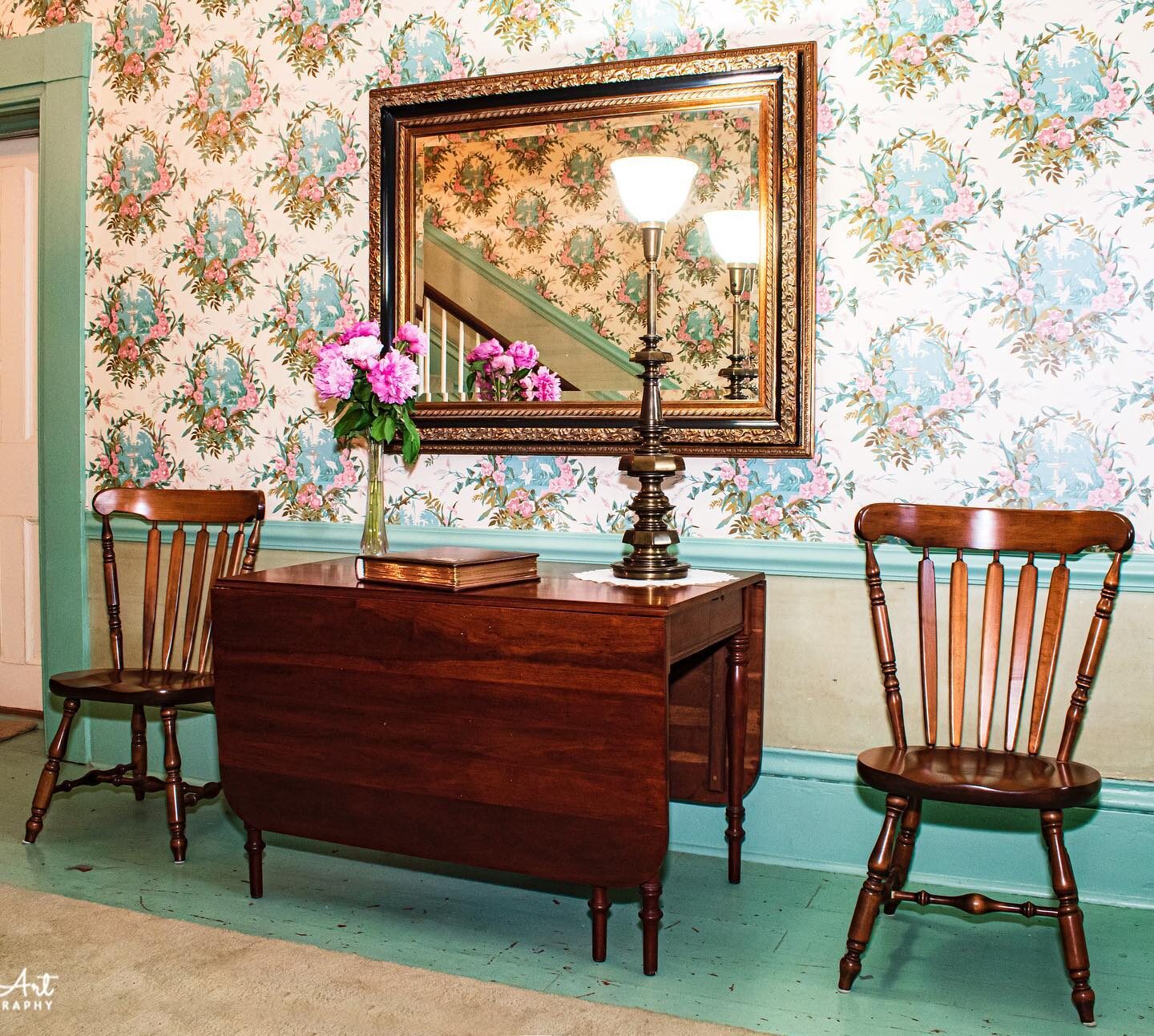
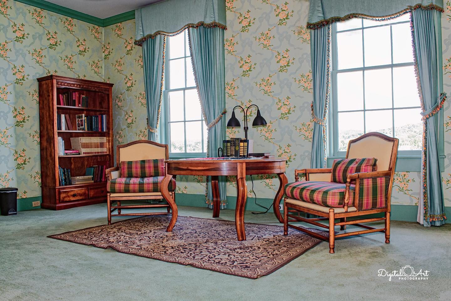
Lee House Inn
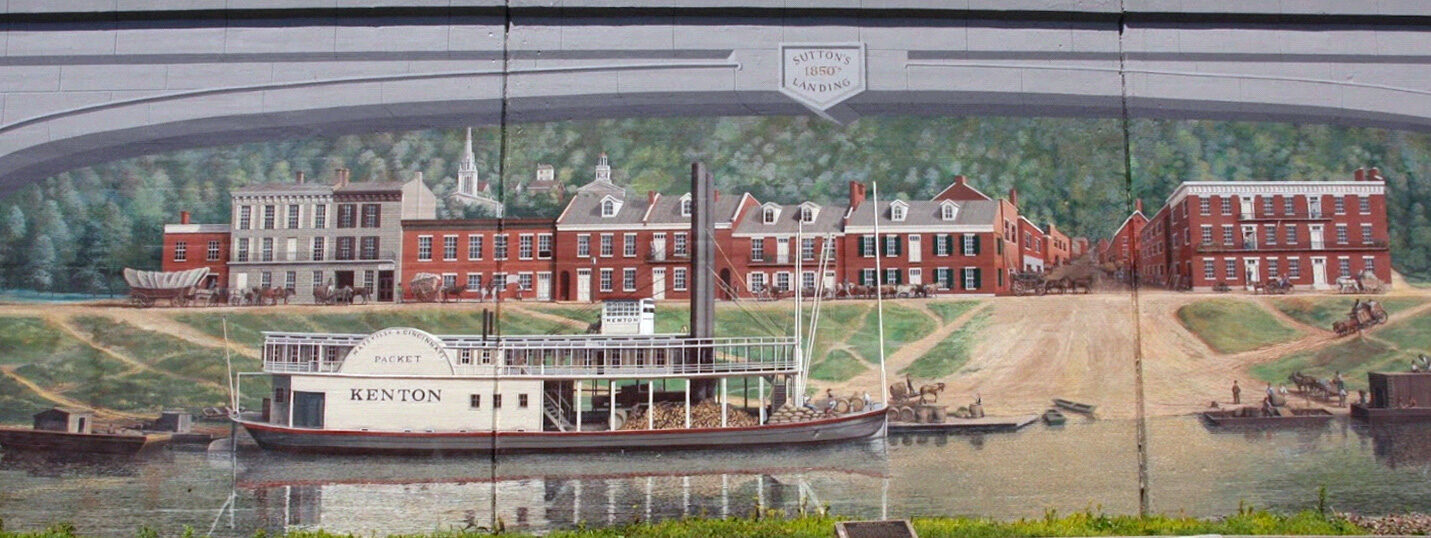
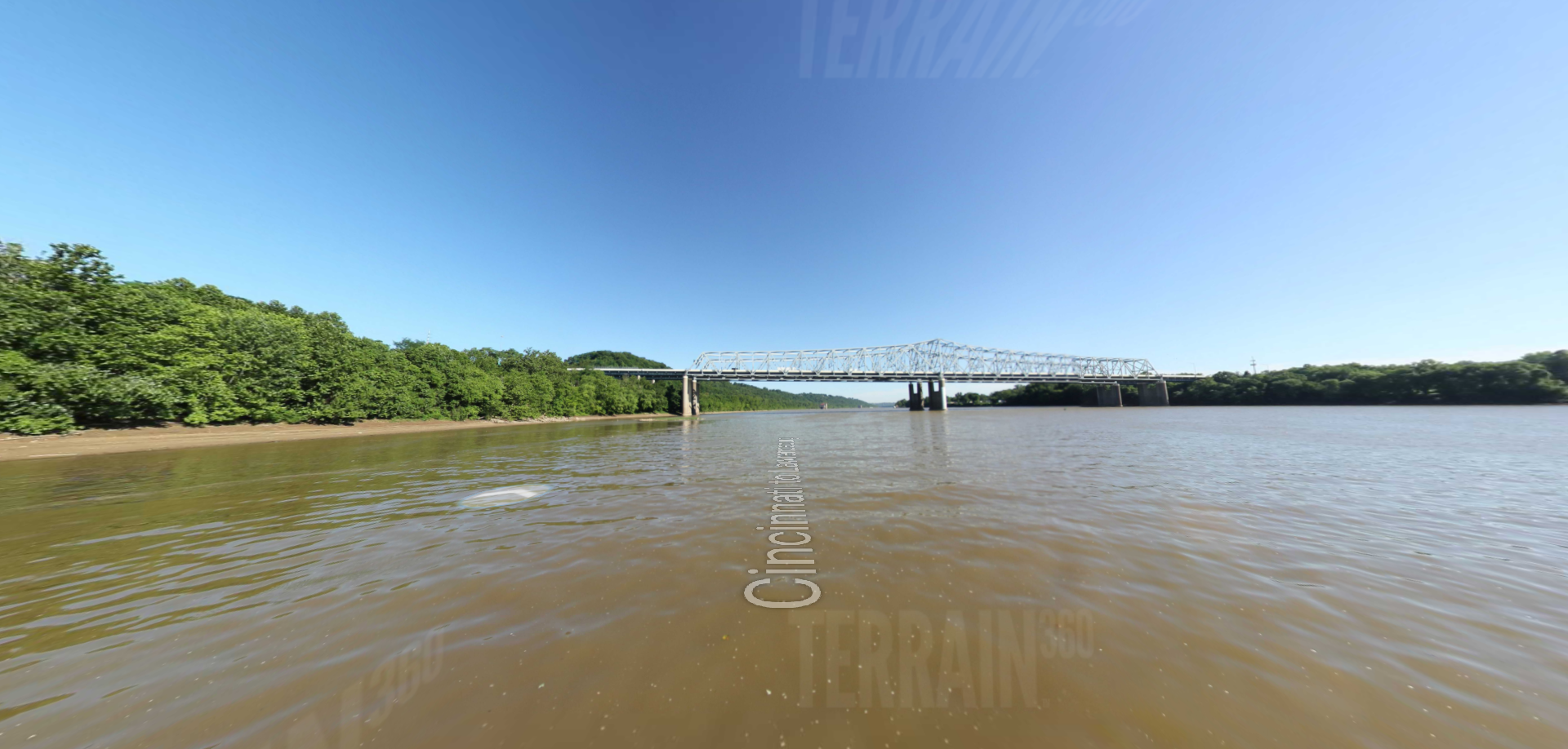
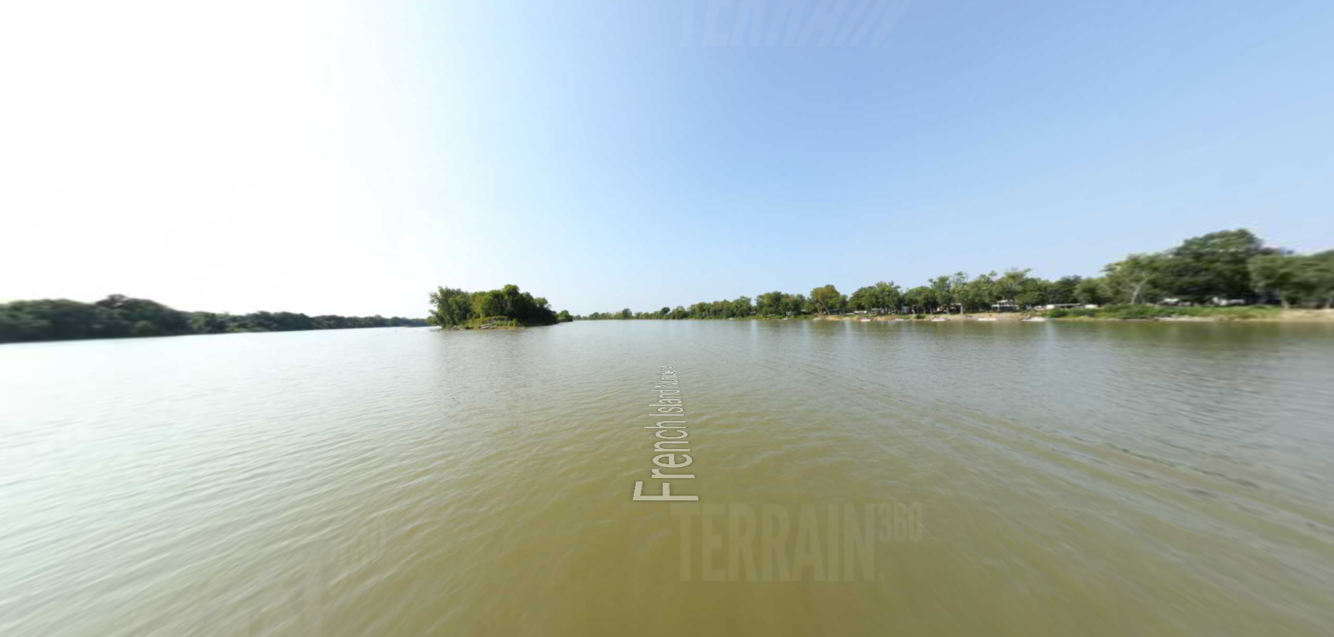
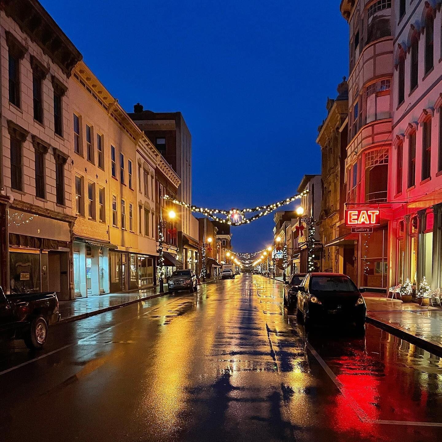
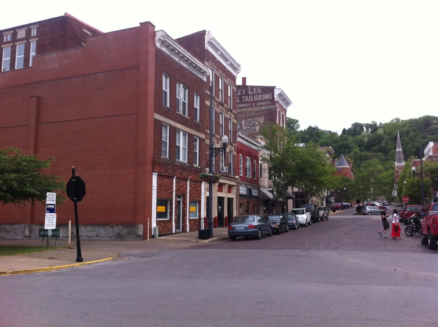
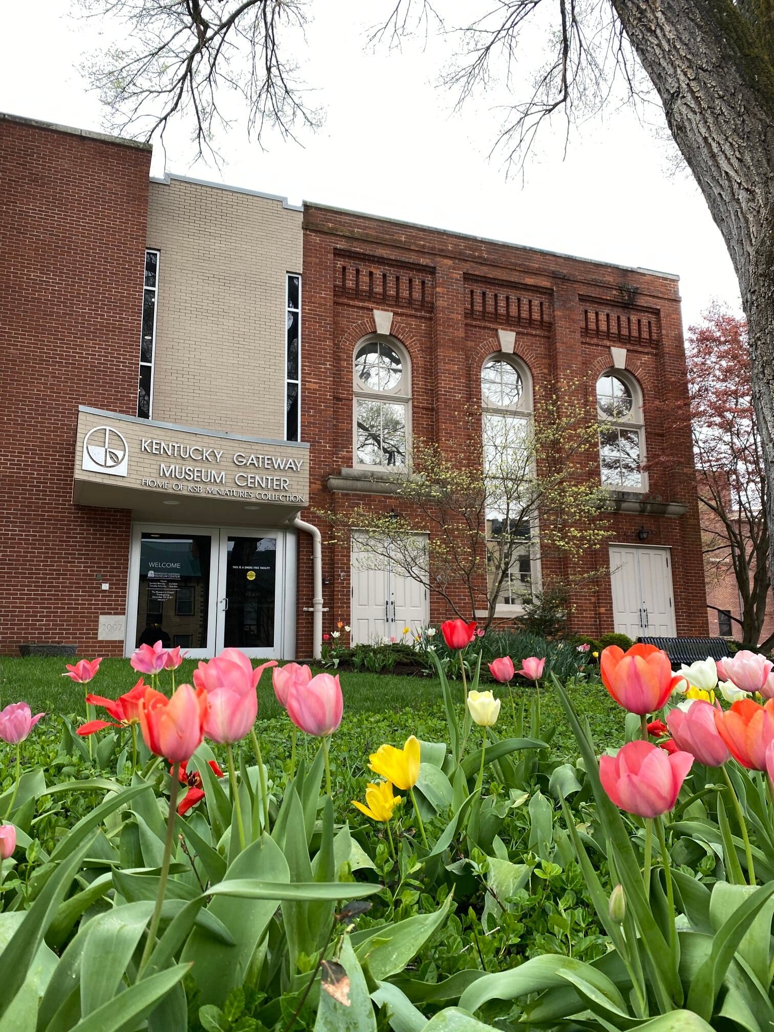
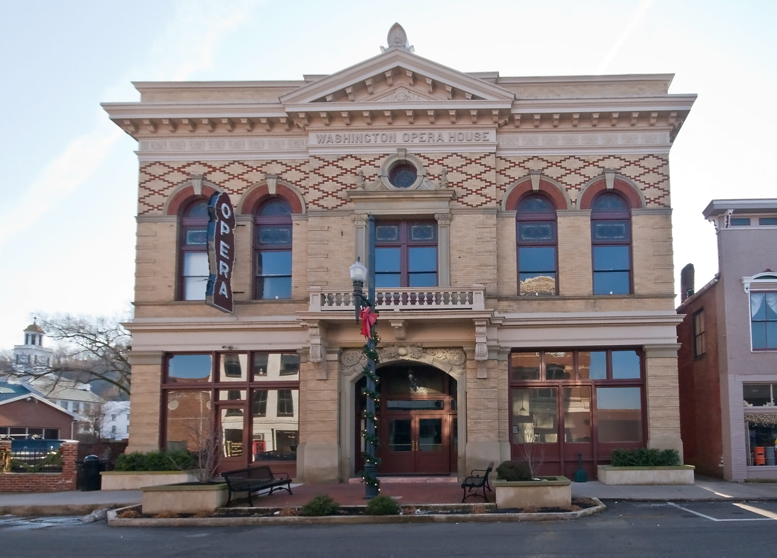
The Lee House Inn is located on the edge of the Ohio River (formerly Sutton Landing) in the City of Maysville, Kentucky. The Lee House comprises three contiguous buildings constructed in different periods, in three stages. The first of three buildings was constructed in 1798, followed by the Front Street building in the 1840s and the final building comprising the west wing addition in 1850s. Sutton’s Landing was the gateway into Maysville for steamboats bringing in goods and visitors and picking up hemp, tobacco, and bourbon at the bustling foot of Sutton Street. Guests stopped overnight at the Lee House, mixing and talking with citizens and Irish and Greek newcomers. The Lee House, considered one of the finest inns of the day, provided accommodations to early settlers, including notable guests such as Senator Henry Clay, Governor John Chambers, Revolutionary War Major General Marquis de Lafayette, and President Andrew Jackson. The actual Lee House guest registry can be found in the Kentucky Gateway Museum Center in Downtown Maysville, just two blocks from the Lee House.
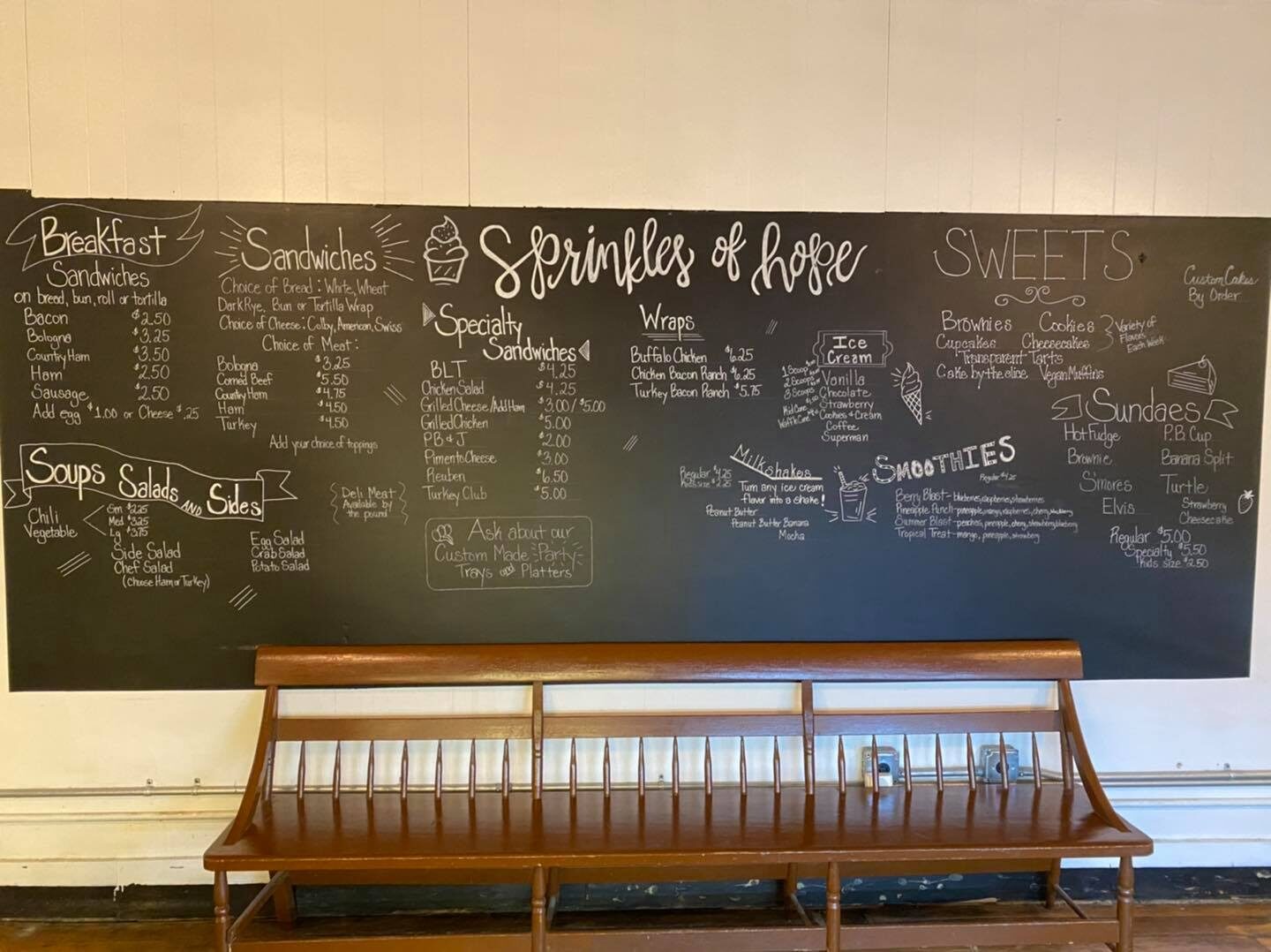
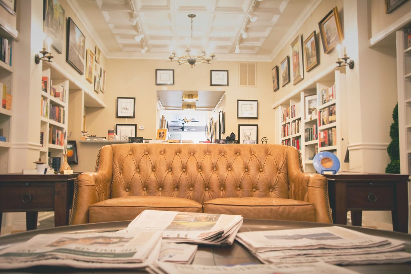
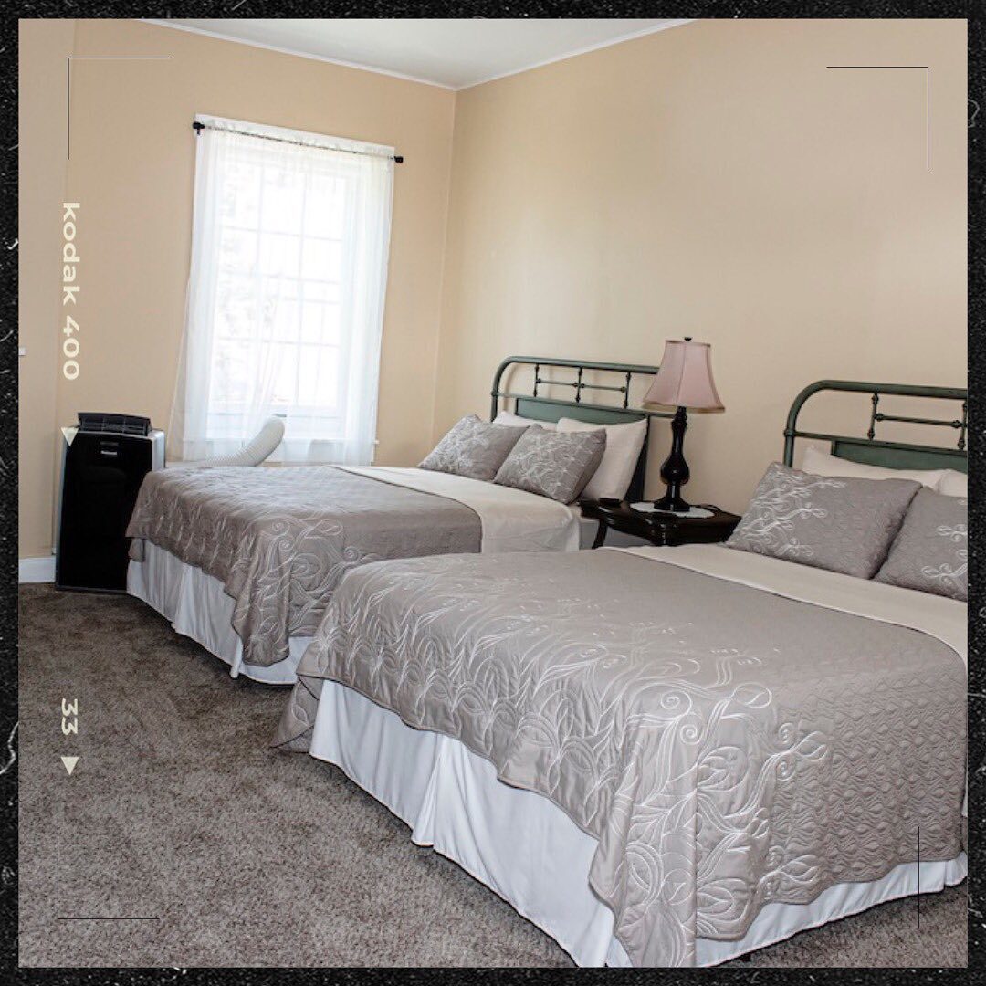
There are 6 different suites to choose from. The Lee House also offers a full-size kitchen, located on the first floor, for all of our guests and includes everything you will need to prepare a meal with a refrigerator and stove, ample counter space, microwave, coffee maker, toaster, blender, electric tea kettle and all the amenities you would expect. Or, just grab a cup of coffee or tea with our premium coffee and tea selections. Available for extended corporate housing as well. Compare and save with quality and comfortable surroundings.
Distance Unit:
Distance Unit: