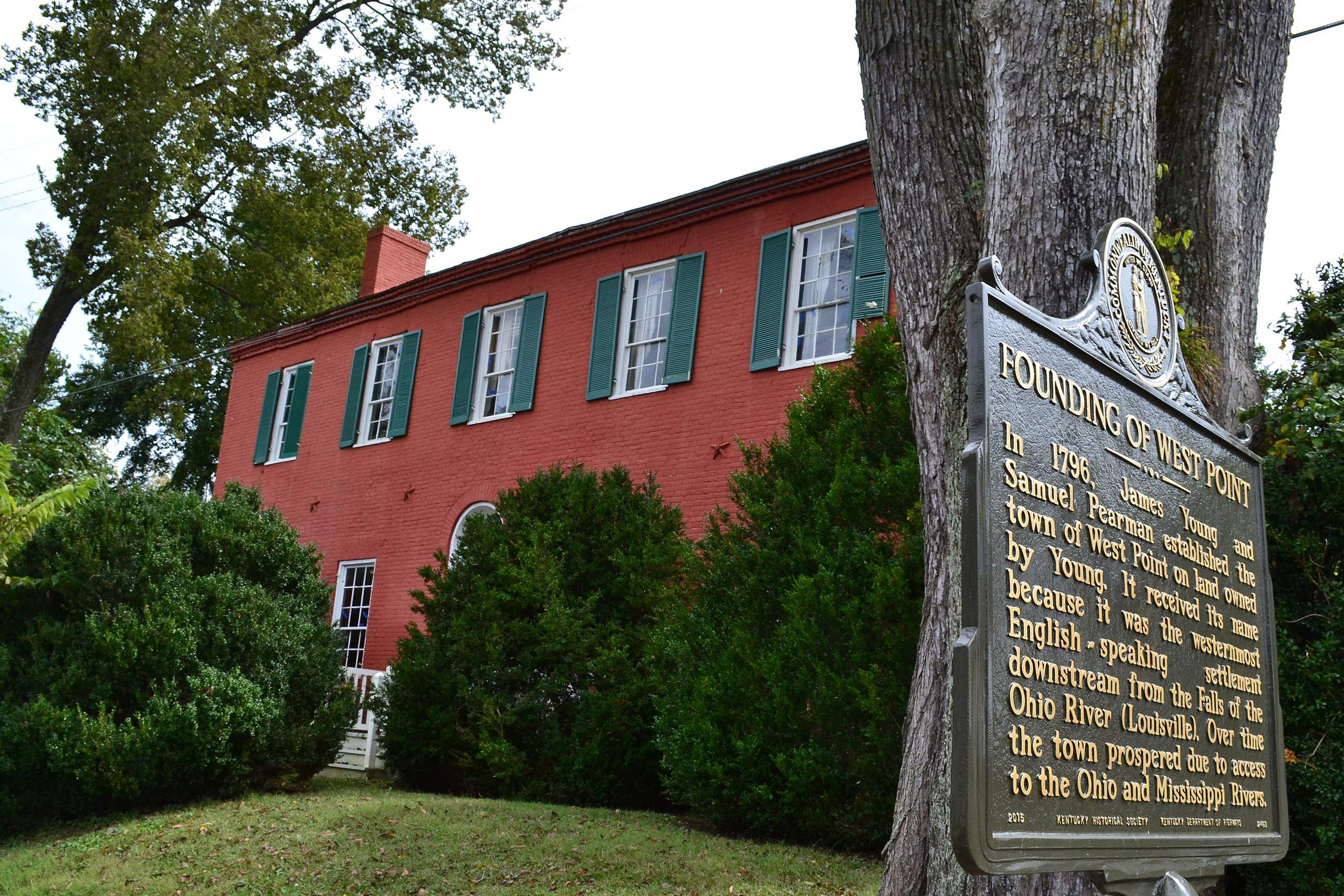
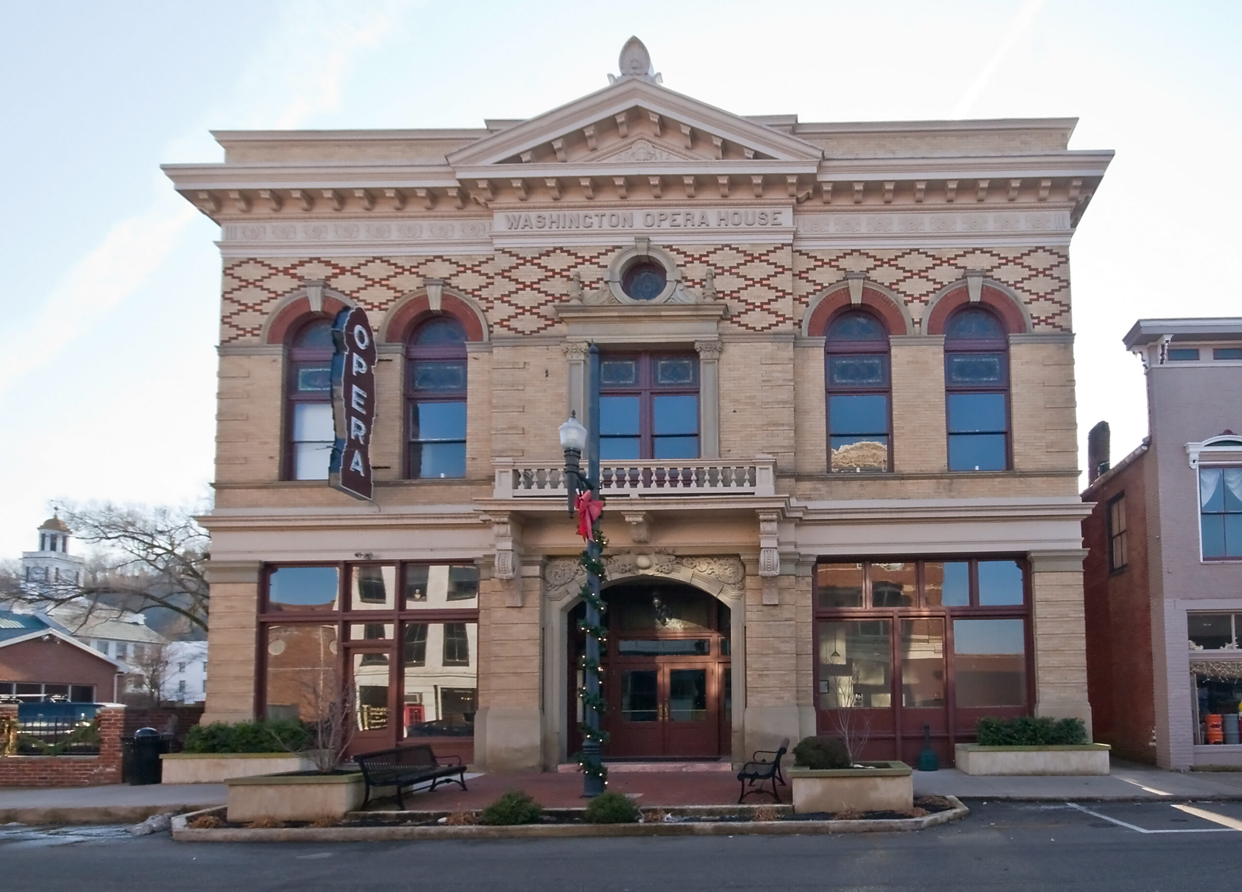
The Old Pogue Distillery
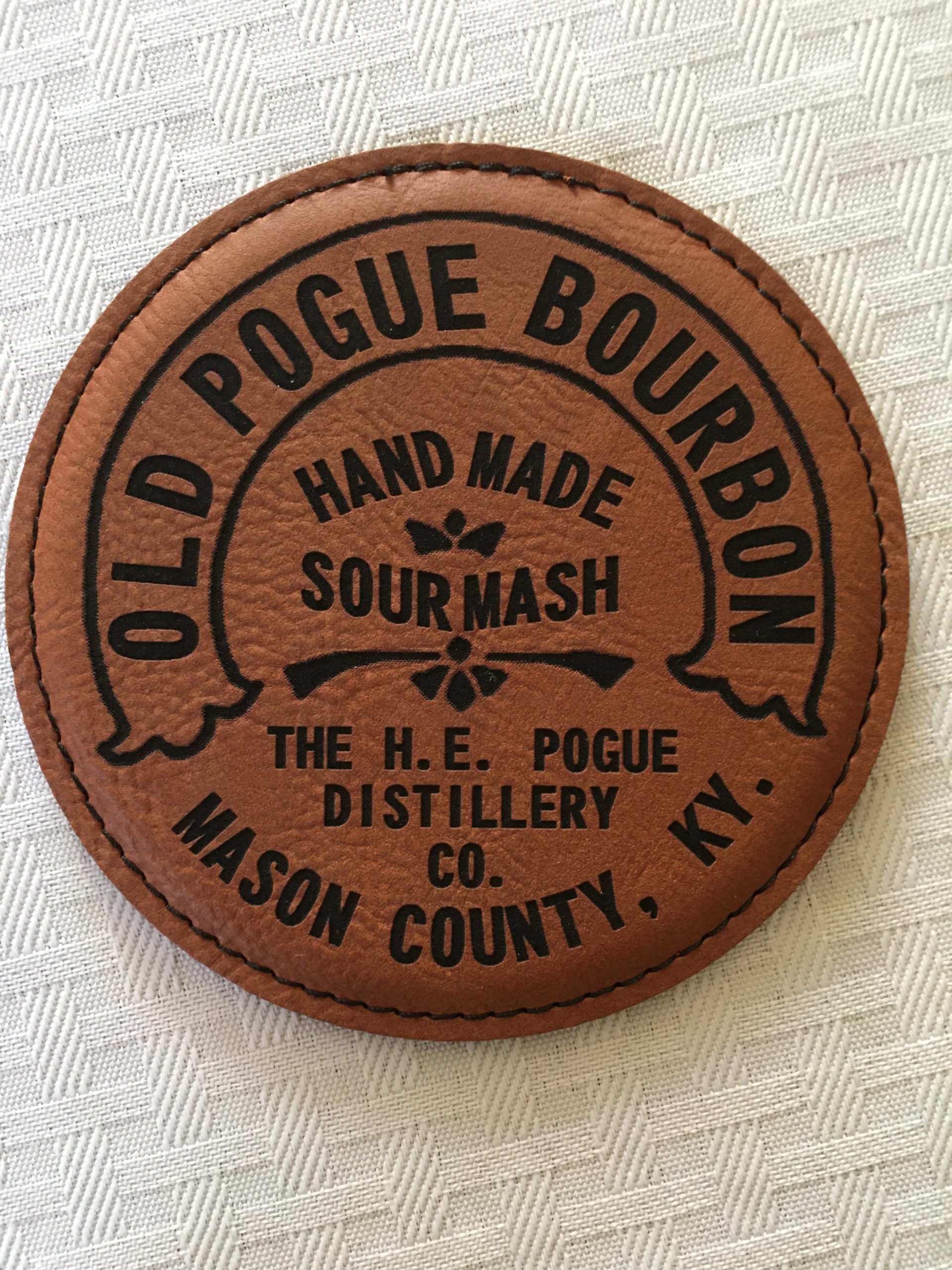
Located on scenic Germantown Road on the banks of the Ohio River it stands, The Old Pogue Distillery. Erected in the late 1700s to cultivate and ship Kentucky Bourbon anywhere during the Whiskey Revolution, Old Pogue has stood the test of time, earning awards and accolades throughout its entire existence as a distilling giant in the unofficial bourbon capital of the world.
The Old Pogue has witnessed it all: the whiskey revolution, the civil war, prohibition, and everything since. Kentucky Residents and bourbon enthusiasts around the country will be fascinated to hear that Old Pogue essentially marked the beginning of the renowned Kentucky Bourbon Trail in the commonwealth, a trail that has spots from Owensboro to Lexington. It is no secret that The Old Pogue Distillery has an extensive and important history.
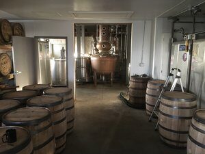
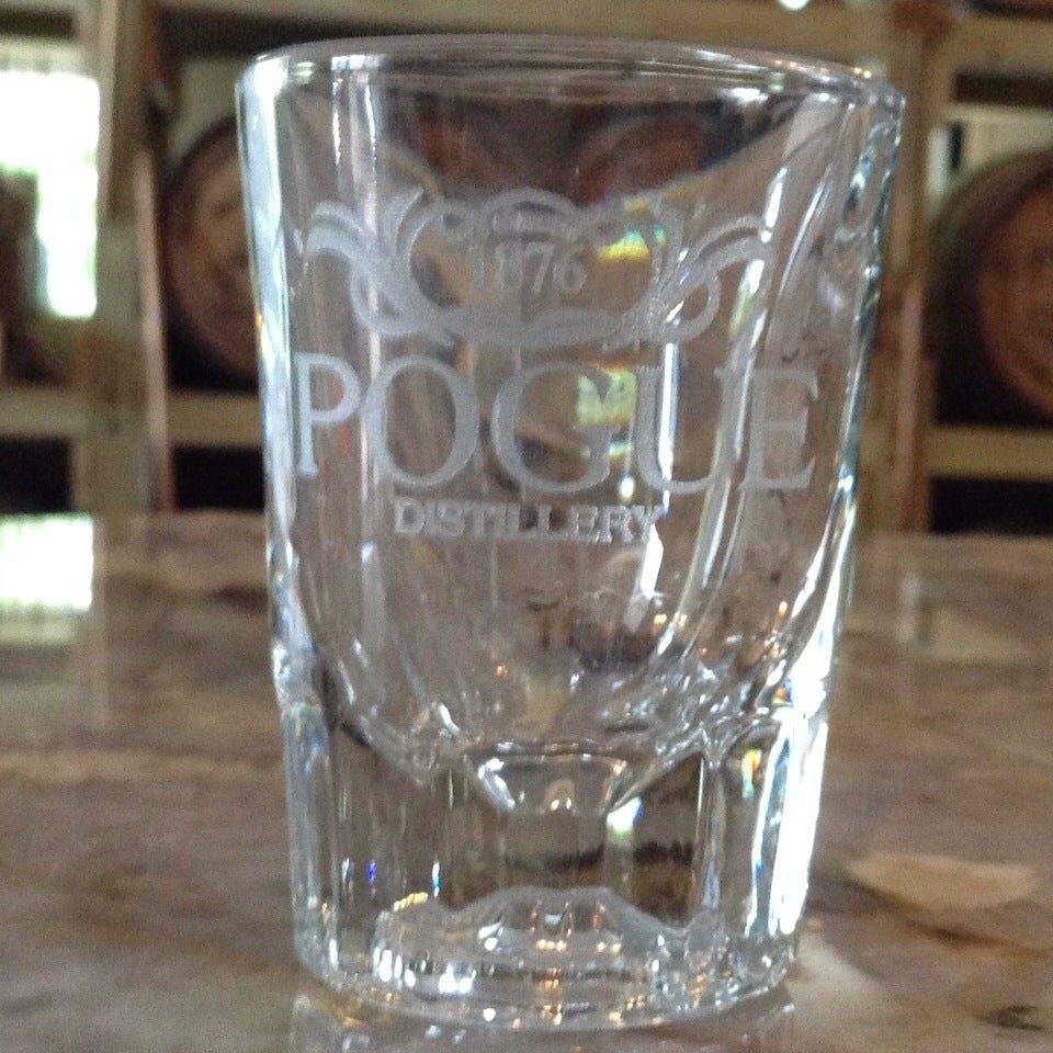
Visitors to The Old Pogue Distillery will be impressed by the quaint Pogue historic farmhouse and the sophisticated distilling plant. The tours are guided and always complementary. Pricing for tastings is also very fair at a rate of five dollars. Visitors are always encouraged to check out the gift shop for items to remember their visit to historic Old Pogue. Here, it is important to show off the history of how the distillery has lasted so many generations while also spotlighting the continued support of historic Maysville, Kentucky. This is a great visit for history buffs and bourbon enthusiasts alike.


Distance Unit:
Distance Unit: