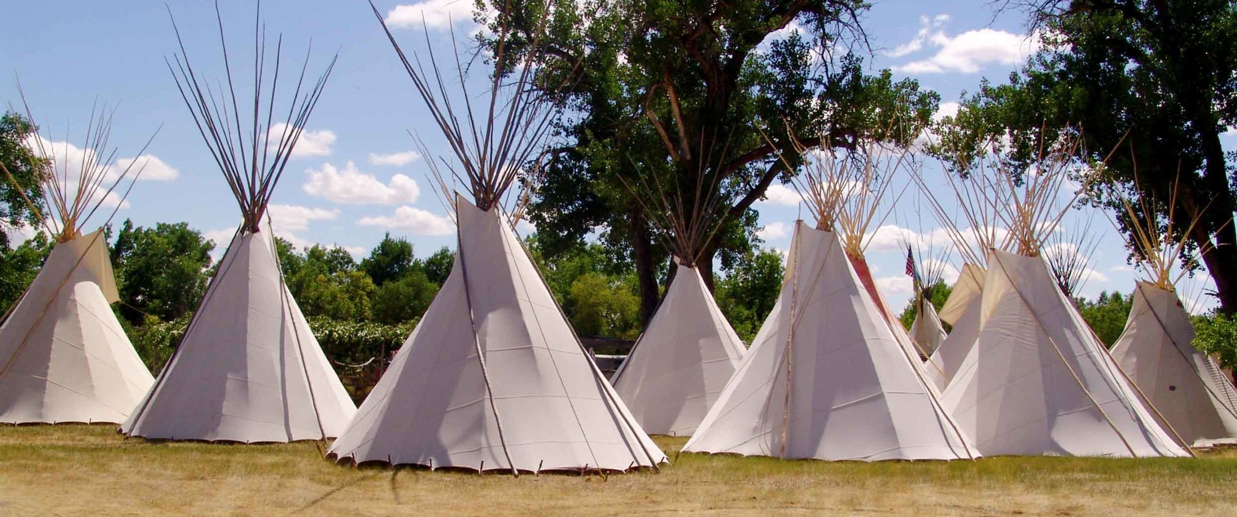
Saint Labre Mission & Cheyenne Museum
Established in 1884 as a means to counter the effects of homesteading upon the Native American population, the St. Labre Mission has become an integral part of the lives of Native American communities in southern Montana. Spread across three school campuses, the mission educates children from pre-K through high school.
For the children who attend these schools, this means far more than just traditional education. Working solely through donations, the mission provides over 700 Crow and Northern Cheyenne students with food, clothing, and a balance of Native American cultural education, as well as spiritual education.
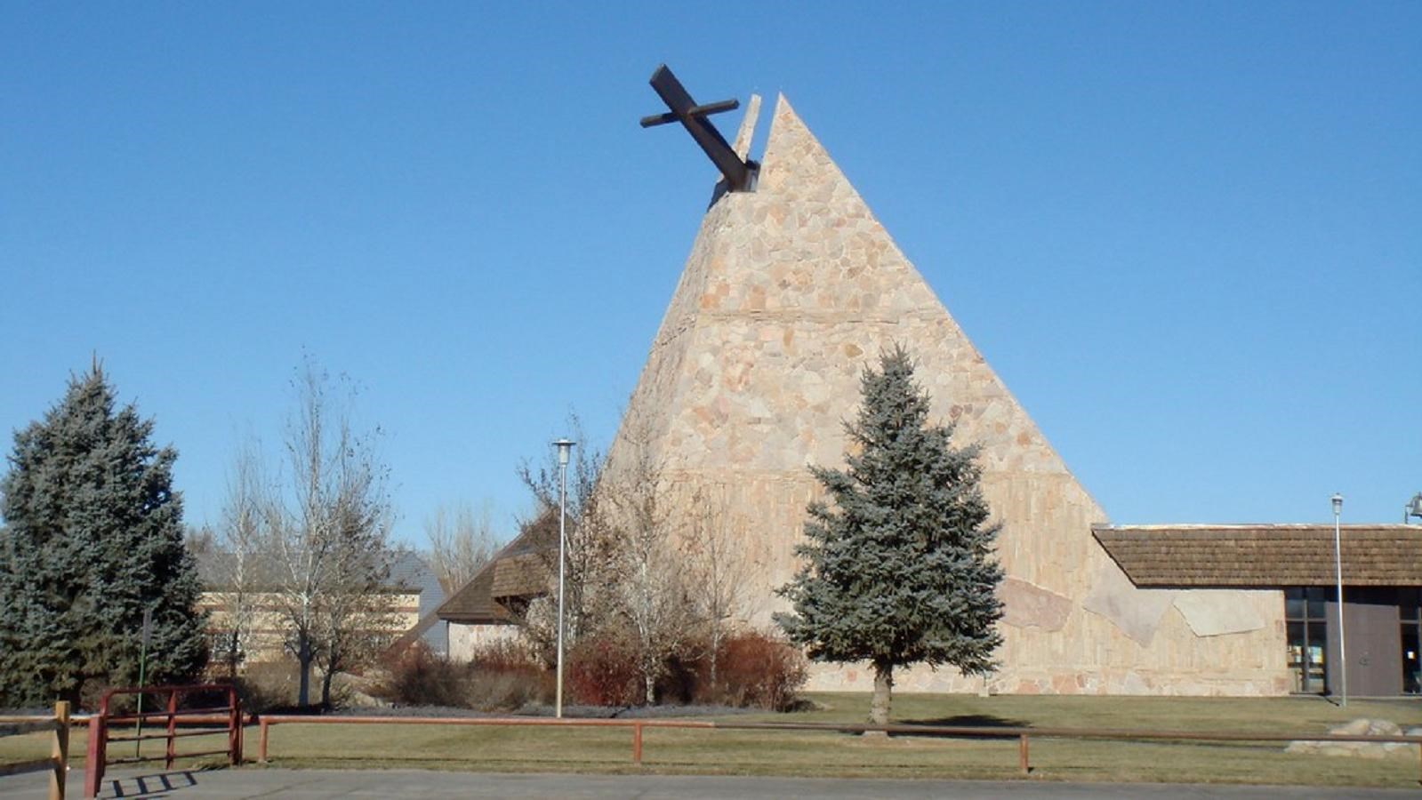
The historic St. Labre Indian Mission, gift shop, and Cheyenne Museum are located at the site of the school. On display, visitors can see Native American art, beadwork, and clothing. The gift shop offers a range of items, including merchandise handcrafted by local Native Americans. Admission is free to visitors, and the museum is open Monday through Friday, 8:00 am to 5:30 pm, from Memorial Day weekend to Labor Day. Winter hours are Monday through Friday, 8:00 am to 4:30 pm. Extended hours may be available in the summer months.
The museum is closed most holidays. Call ahead for any possible closures at (406) 784-4511 or (406) 784-4500.
Distance Unit:
Distance Unit:


A trail starting at Hauser Dam and overlooking the Missouri River.