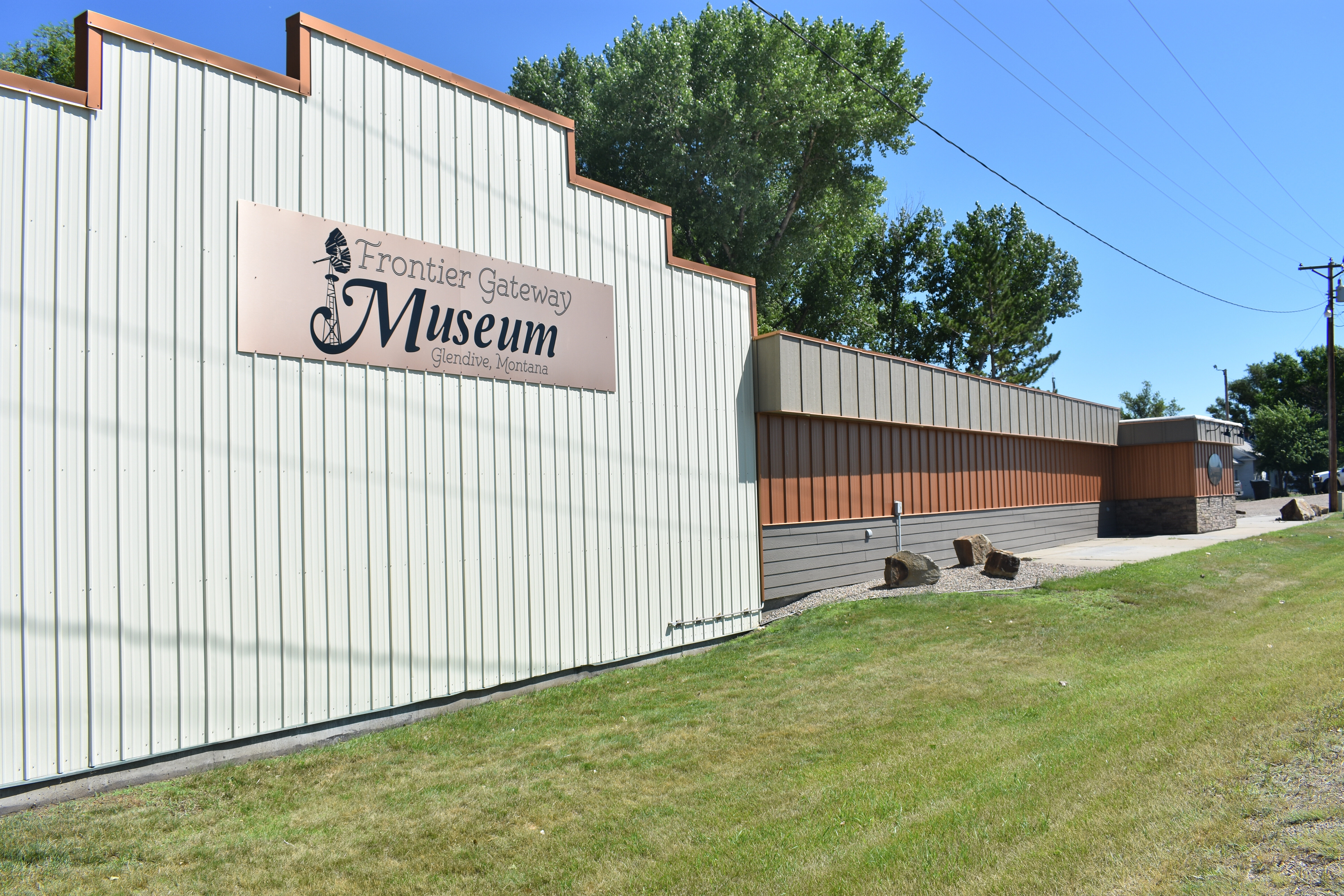
The Prairie County Museum opened in 1975 inside the historic 1916 State Bank of Terry building. The museum has since grown into a large complex that includes the original 1916 State Bank of Terry building, an old-time pioneer homestead, the Burlington Northern Train Depot, a steam-heated outhouse, an old wooden train caboose, and – of course – the famous Evelyn Cameron Gallery of photos.
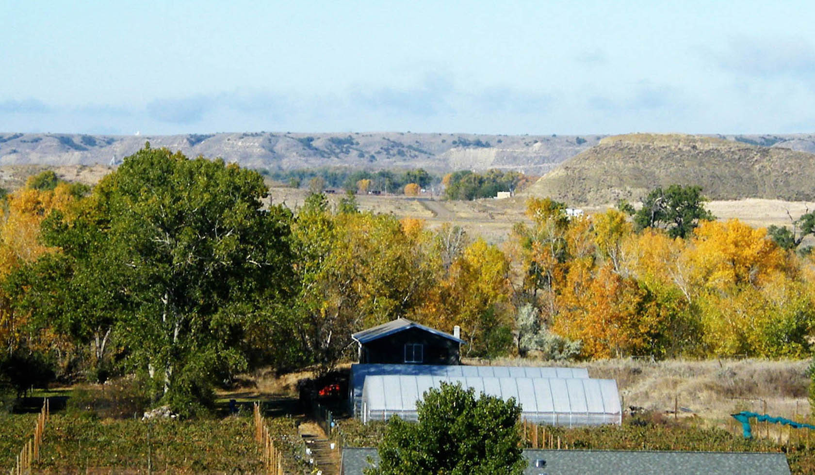
Prairie County Museum and Evelyn Cameron Gallery complex is a community effort in preserving area history and showcasing the essence of the old pioneer life, with glimpses into the way it was lived, how it was endured, and how pioneers and explorers were able to thrive in eastern Montana. Alongside an extensive collection of photographs (which can be reprinted and purchased by visitors) and a large collection of historical artifacts, the Prairie County Museum houses thousands of historical files that preserve past events, family trees, and obituaries. A walk through the pioneer homestead and Burlington Northern train depot immediately transports visitors back to the 1800’s, allowing them to feel as though they’ve truly stepped into another century.
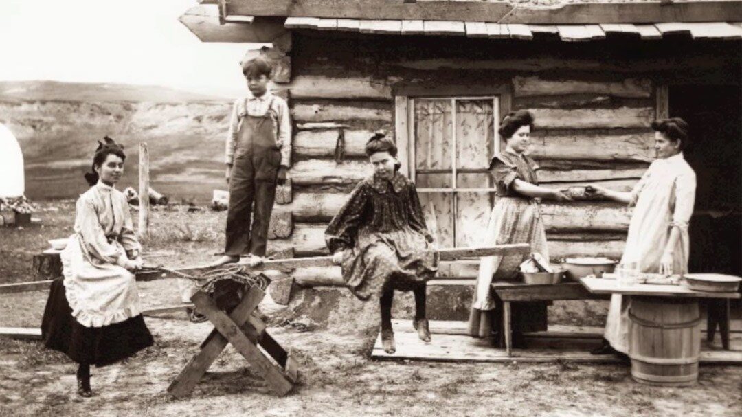
The Evelyn Cameron Gallery showcases Evelyn Cameron’s famous photography, which gives viewers a rare glimpse into life on the Montana prairie in the late 1800s and early 1900s through the lense of an early film camera.
A visit to the Prairie County Museum and Evelyn Cameron Gallery is a remarkable opportunity for visitors to experience all aspects of historic life on the eastern Montana plains.