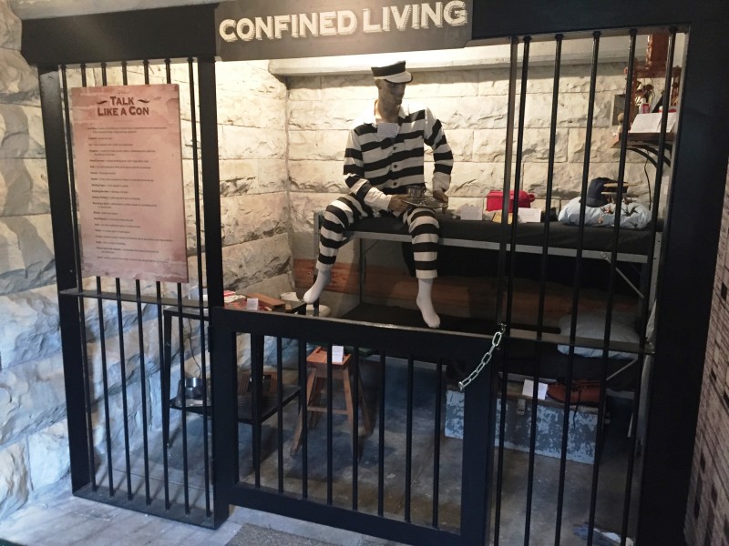
Jefferson City, Missouri

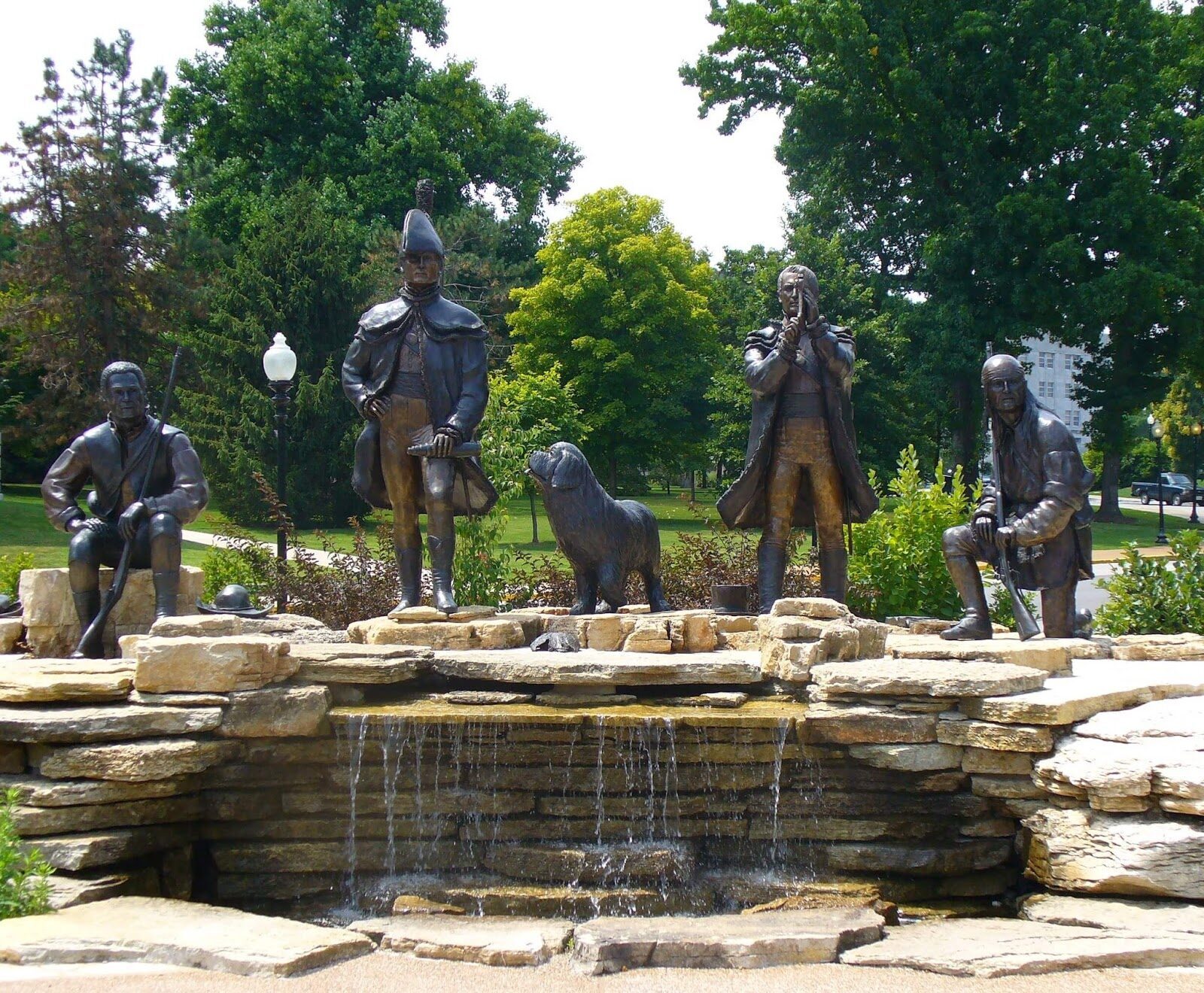
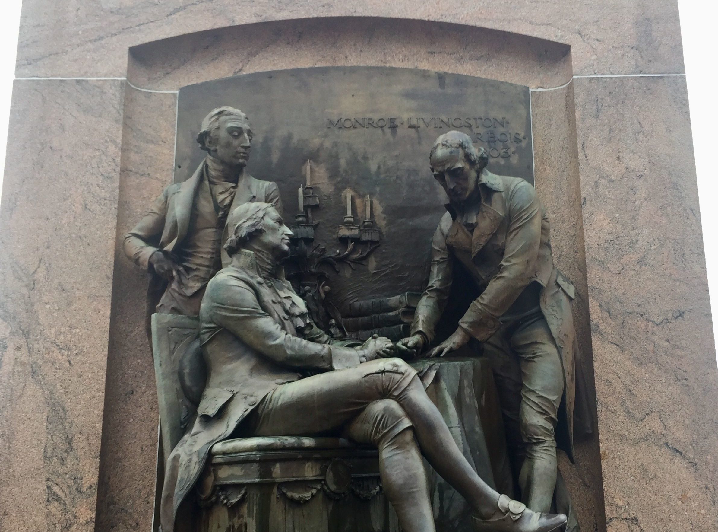
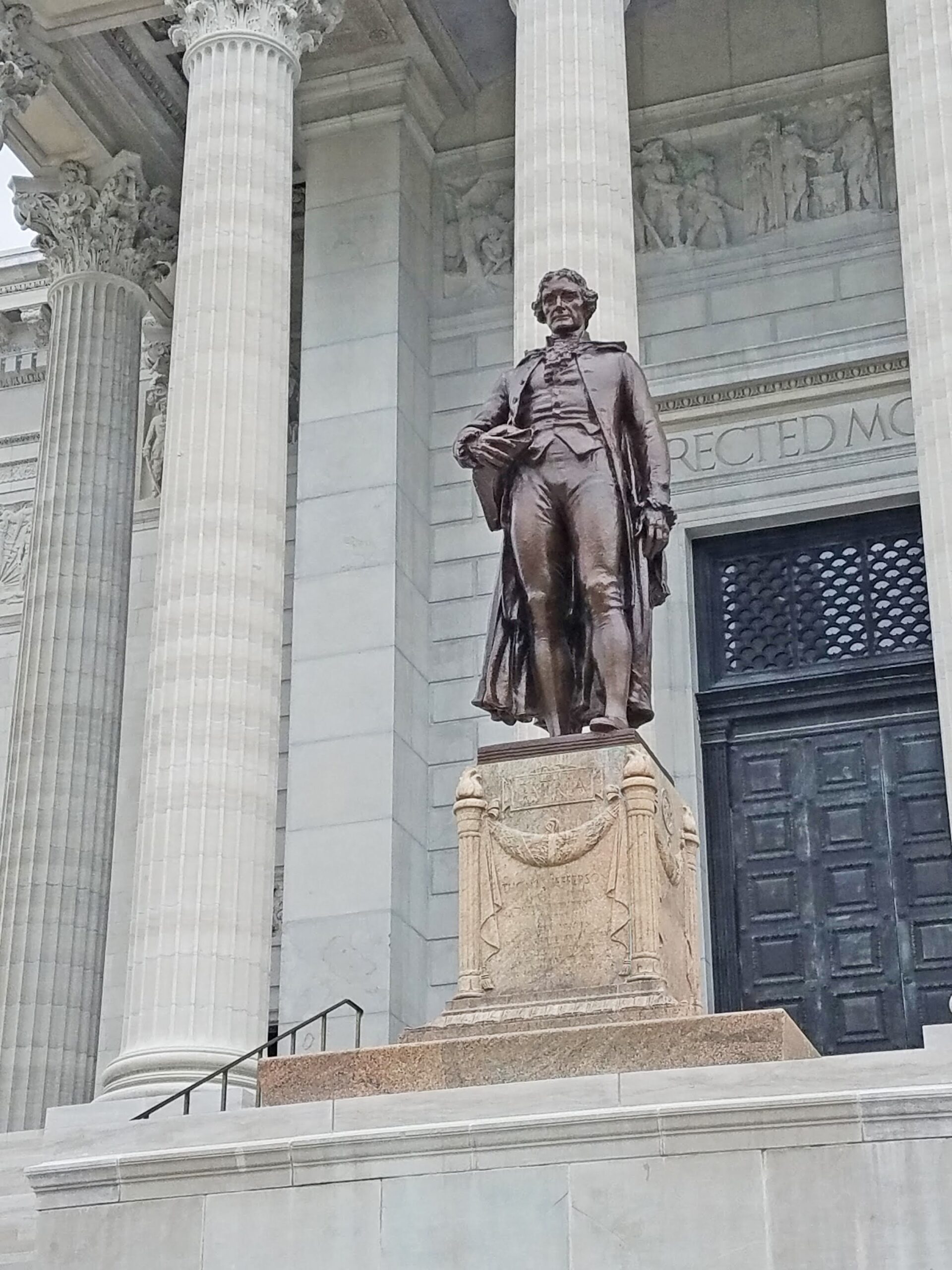
Visit the Missouri State Capitol and nearby environs to experience the Lewis & Clark Trail. You can start your visit at the Missouri State Capitol. First, examine the Capitol grounds. Just a half-block east of the Capitol, you can visit the Lewis and Clark KATY Trailhead Plaza. The plaza features statues of Meriwether Lewis, William Clark, York, George Druillard, and Lewis’ dog Seaman. The plaza commemorates June 4, 1804, when the expedition camped in the area. Then, proceed to the north side of the Capitol to view the Louisiana Purchase statue, originally designed for the 1904 World’s Fair. One can get a great view of the Missouri River from this location. On the south side of the Capitol is a large statue of Thomas Jefferson, commemorating the namesake for the city.
After touring the Capitol grounds, venture inside to see the Missouri State Museum, which encompasses both wings on the first floor, to learn about the history and resources of the state. The governor’s portraits in the first-floor, west wing have paintings of both Lewis and Clark honoring their respective terms as Missouri Territorial Governors. Throughout the Capitol are a variety of artworks related to the expedition. Proceed to the second floor hallway to view the lunette mural titled, “Lewis and Clark at the Mouth of the Osage River.” Then go up one floor to the third-floor Rotunda to view the Lewis and Clark statues and associated lunettes. From the windows of the Senate viewing gallery doors on the fourth-floor you can view the large mural titled, “Jefferson, Lewis and Clark.”
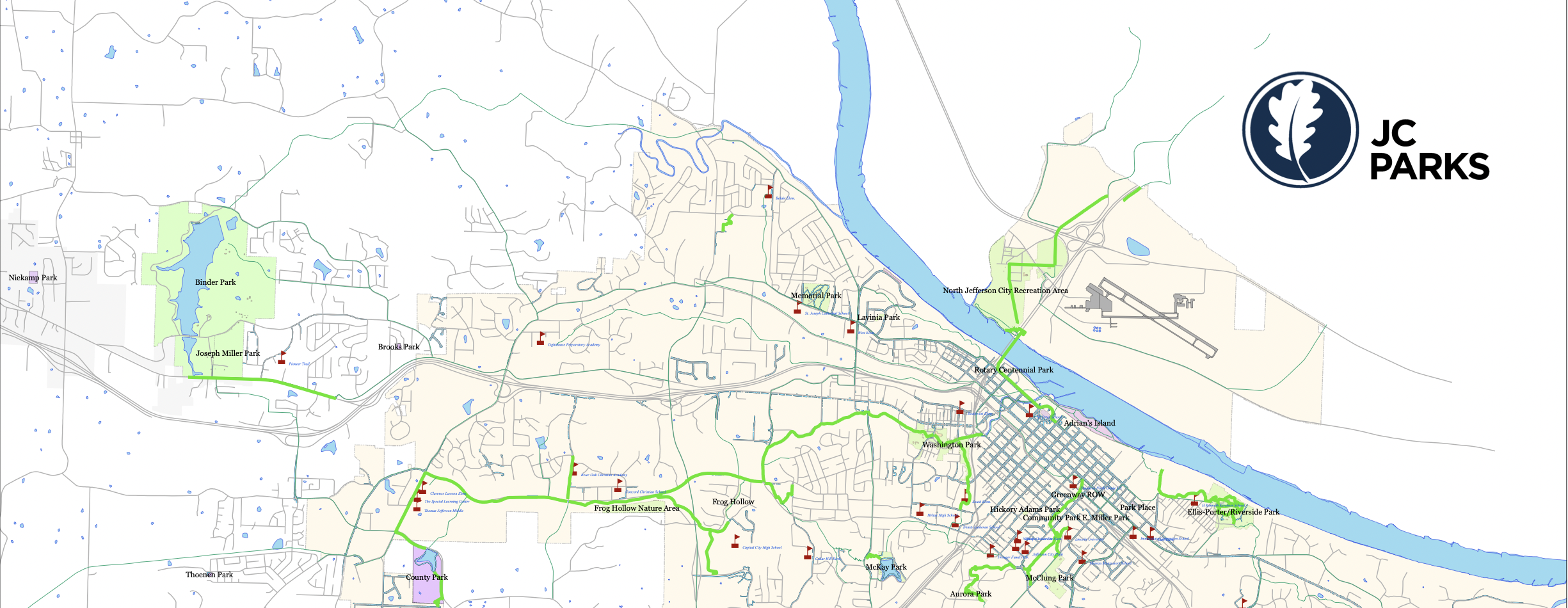
After seeing the resources of the Capitol Complex, venture downtown for coffee, lunch, and shopping. Then go to the Jefferson City Greenway Skywalk Trail to walk over the Missouri River (adjacent to the highway bridge) and have a splendid view of downtown Jefferson City. At the Carl R. Noren Access, you can walk right up to the river’s bank. The Noren Access will also lead you to the KATY hiking/biking trail, which crosses virtually the entire state east-west.
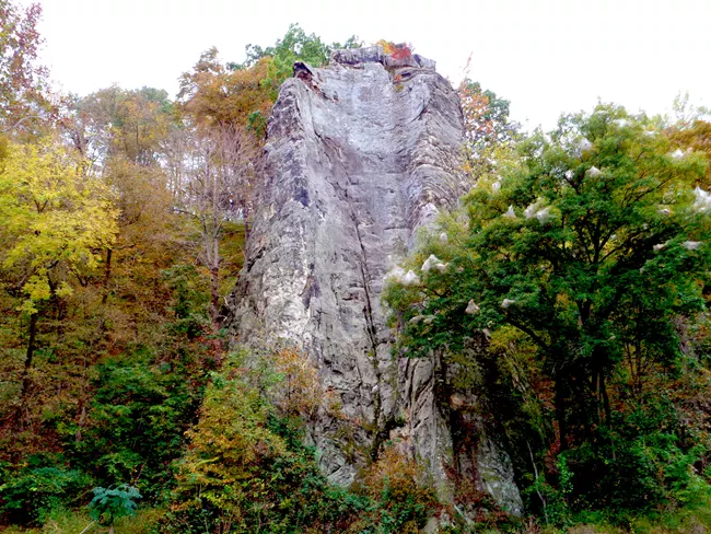
If you want a short-road trip, drive eight miles east to Clark’s Hill/Norton State Historic Site and enjoy the same view that William Clark did on June 2, 1804, when the expedition camped at the base of the hill, and Clark decided to climb to the top of the hill to enjoy its view.
Distance Unit:
Distance Unit:


The path taken by Chief John Ross on his way to Cairo. (https://www.hmdb.org/m.asp?m=161480)


A boat ramp that allows visitors to access the Trail of Tears


Explore the Trail of Tears State Park to delve into a somber chapter in American history. Here, nine Cherokee Indian groups crossed the harsh winter Mississippi River in 1838-1839 during their forced relocation to Oklahoma.…