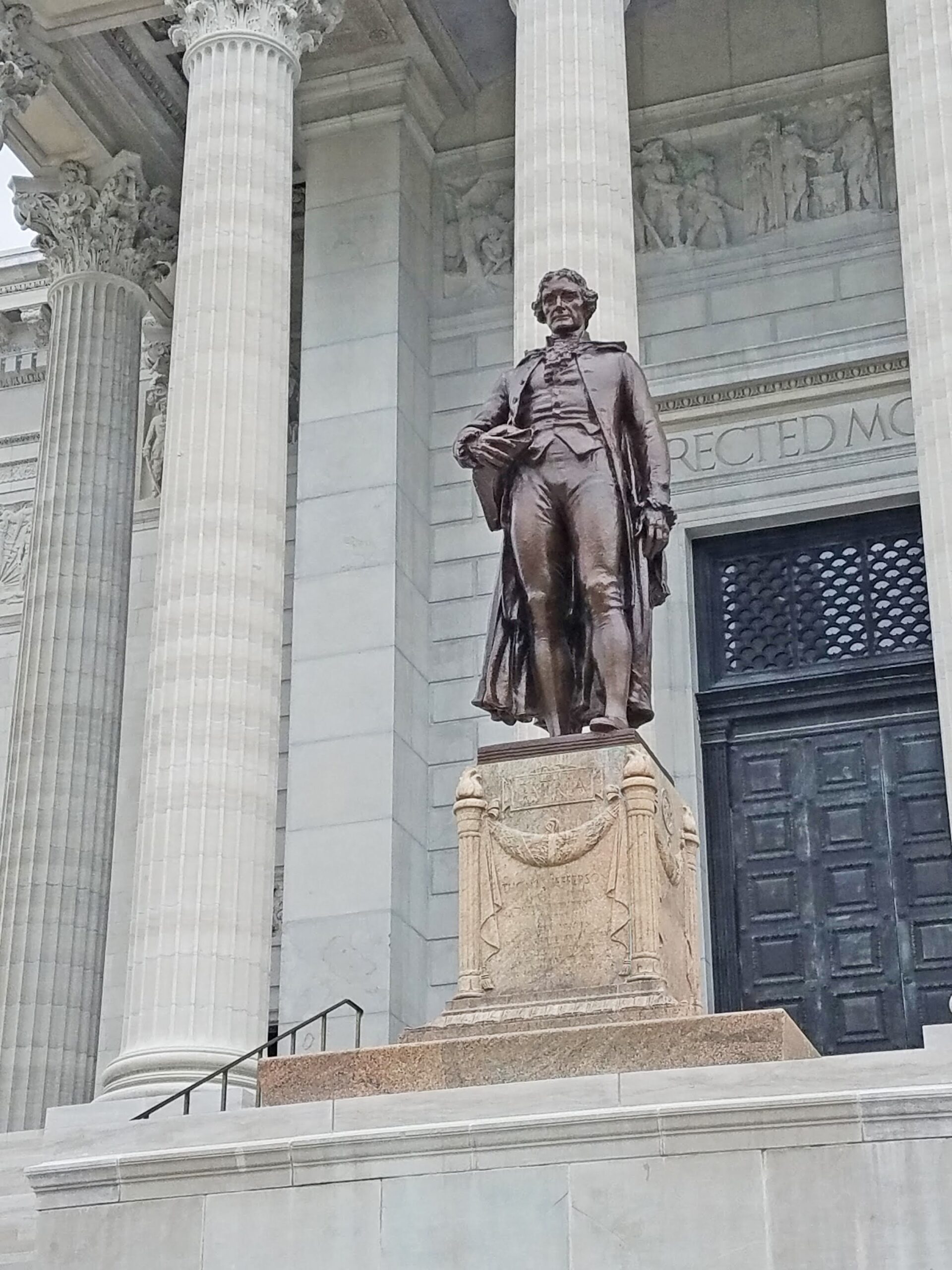
Sugar Loaf Rock
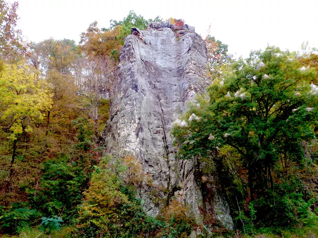
Sugar Loaf Rock is a high potential historic site on the Lewis and Clark National Historic Trail. To be deemed a high potential historic site, a location must have either: historic significance, presence of visible historic remnants, scenic quality, and relative freedom from intrusion. The Lewis and Clark National Historic Trail stops through Jefferson City, Missouri where the rock is located. It is often known as the Lead Mine Hill as it was originally stated by William Clark to be a “hill”. The location was discovered in June of 1804. The view is said to be of the river below and 50 feet of limestone rock.
Unfortunately, the rock is under private access only, but can still be seen from below. Due to the historical nature of this site, privacy allows ensuring that the site will remain almost exactly as it was found by Lewis and Clark themselves.
If you are in the area of Jefferson City, a fantastic place to stop along The Lewis and Clark National Historic Trail, then you should take the additional short time to visit the site along the way!
Distance Unit:
Distance Unit:


The path taken by Chief John Ross on his way to Cairo. (https://www.hmdb.org/m.asp?m=161480)


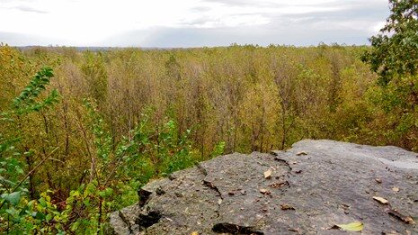
A breathtaking viewpoint overlooking the Trail of Tears State Park. Car access is available