Yorks Islands
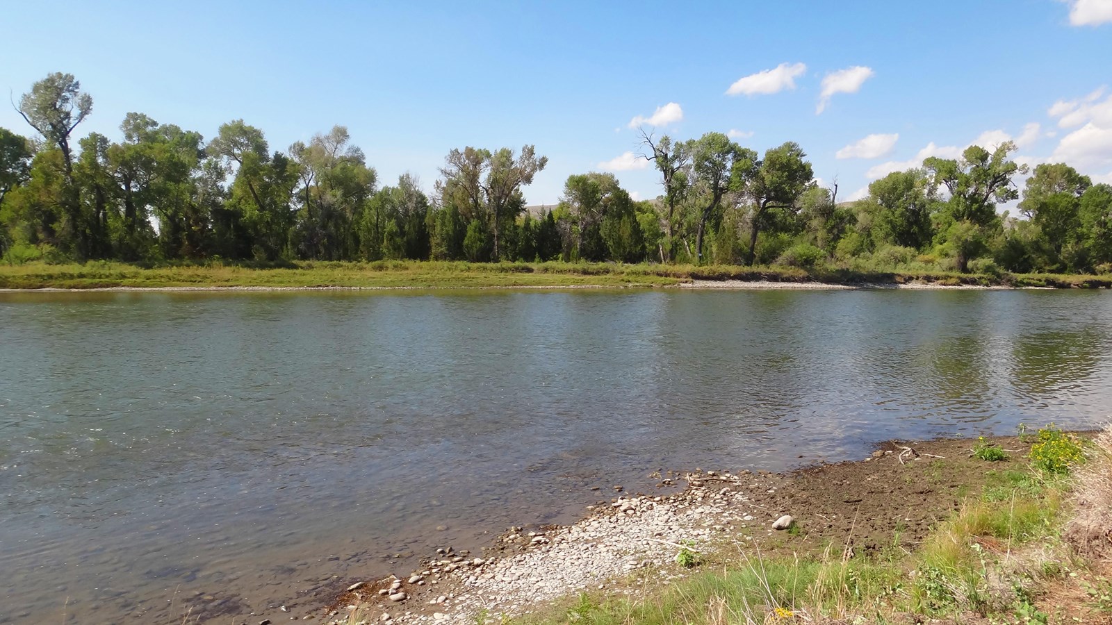
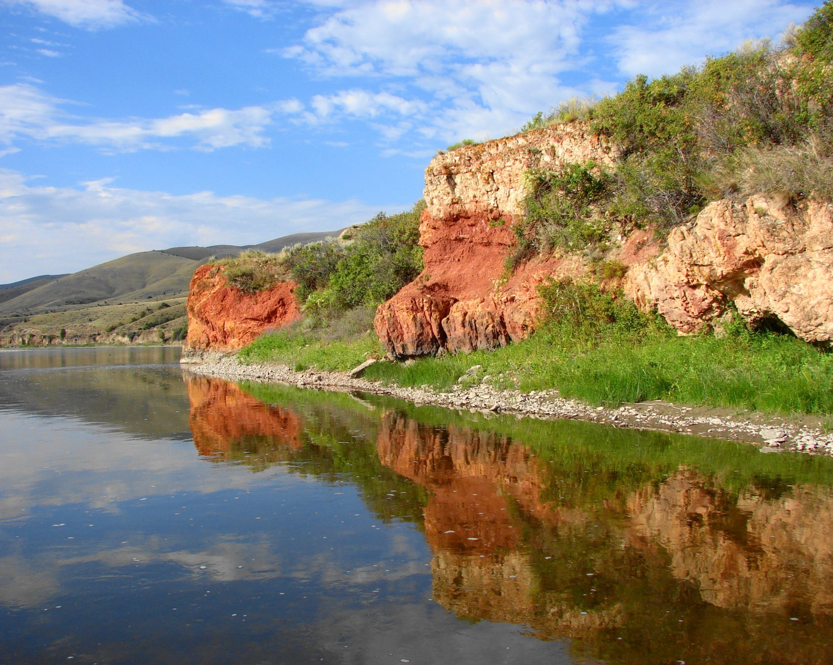
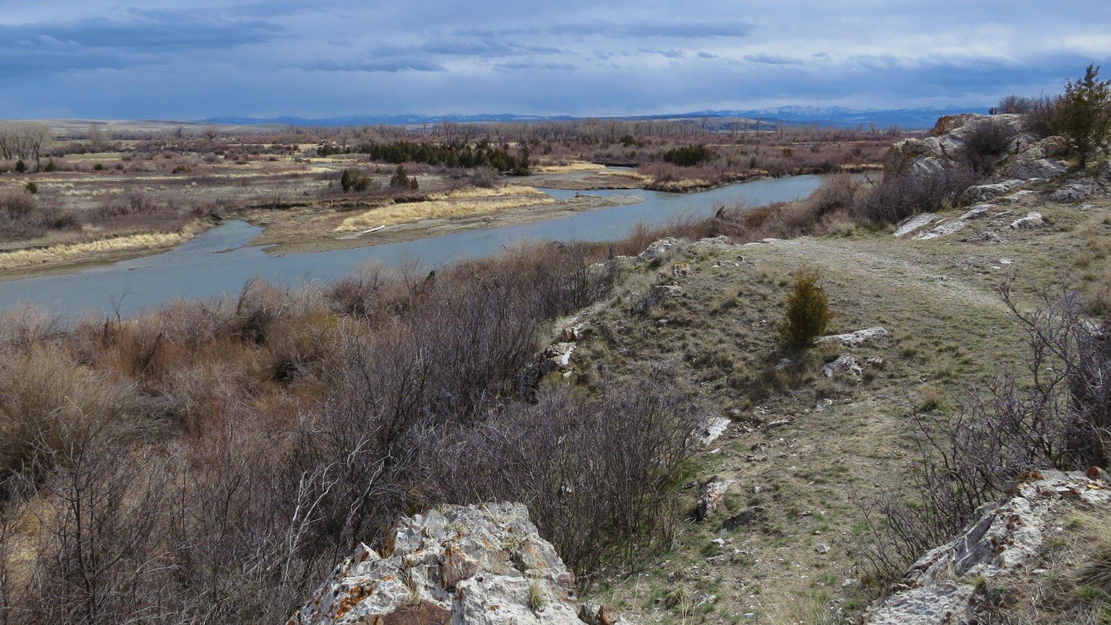
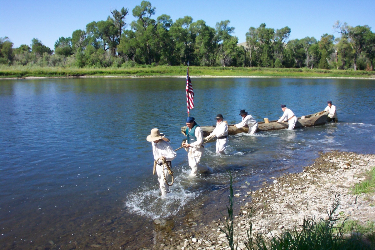
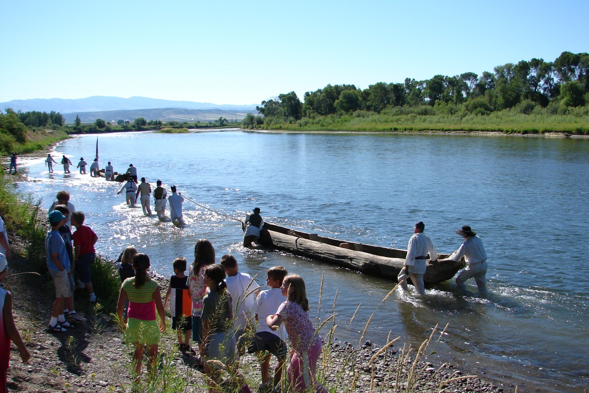
On July 24, 1805, shortly after passing the “Bluffs of red earth,” the Corps of Discovery came to a portion of the Missouri River characterized by numerous islands and extensive beaver activity.
Lewis wrote: “we saw many beaver and some otter today; the former dam up the small channels of the river between the islands and compell the river in these parts to make other channels; which as soon as it has effected that which was stoped by the beaver becomes dry and is filled up with mud sand gravel and drift wood. the beaver is then compelled to seek another spot for his habitation wher he again erects his dam. thus the river in many places among the clusters of islands is constantly changing the direction of such sluices as the beaver are capable of stoping or of 20 yds. in width. this anamal in that way I beleive to be very instrumental in adding to the number of islands with which we find the river crouded.”
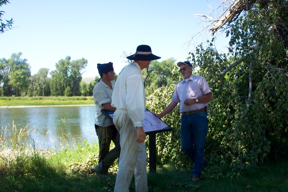
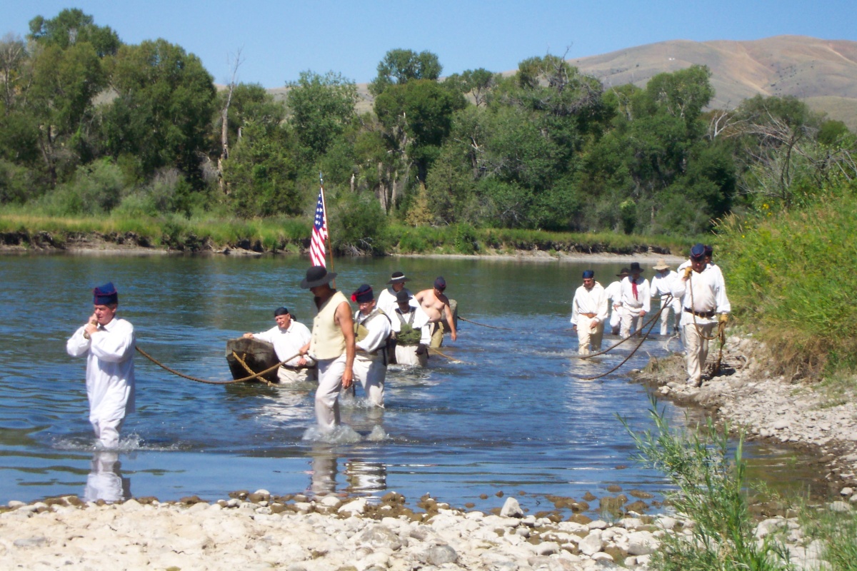
This area went unnamed in Lewis’s journal narrative, but Clark’s corresponding map named it “Yorks 8 Islands,” after his slave York who was a fully participating member of the expedition.
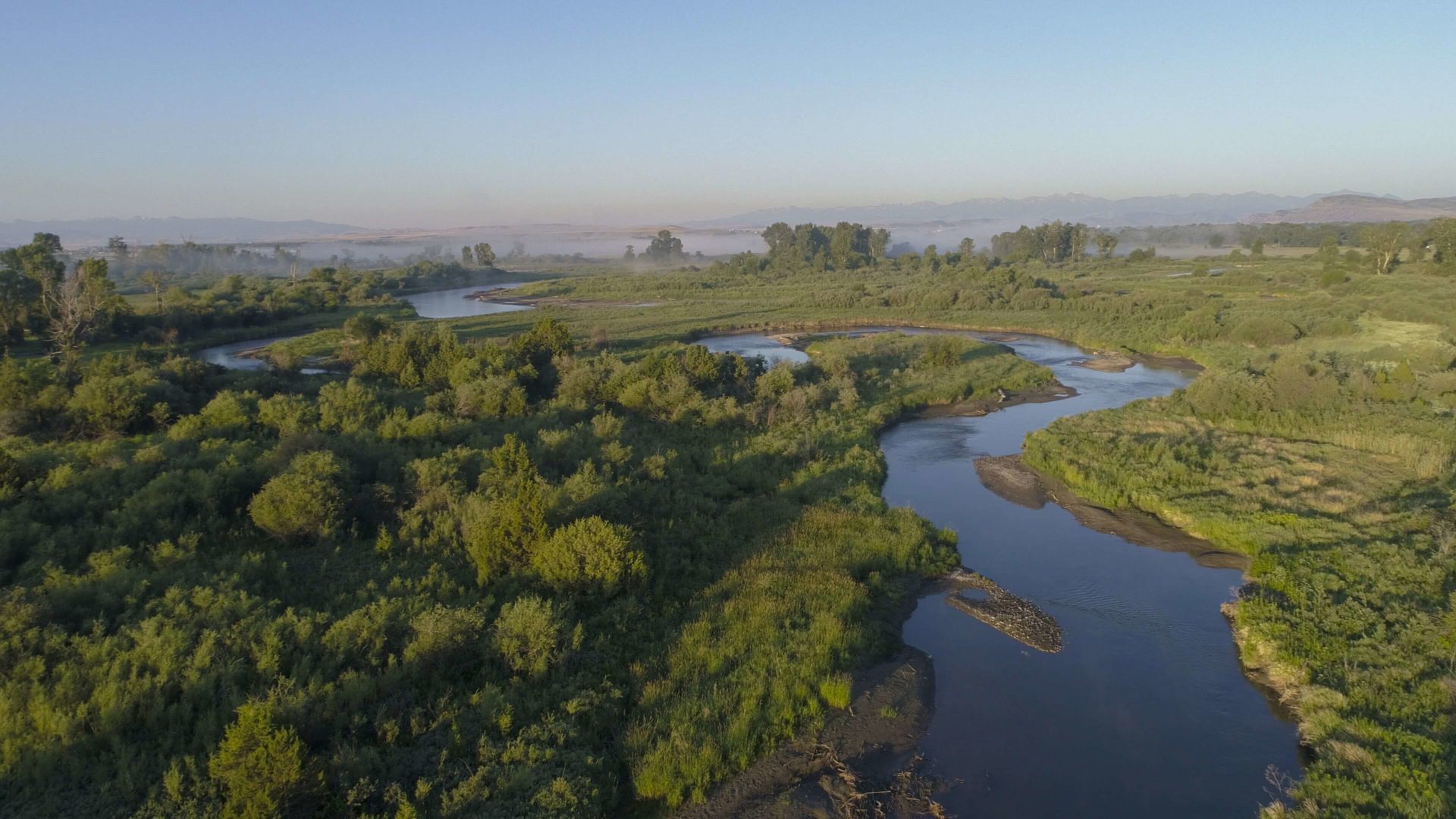
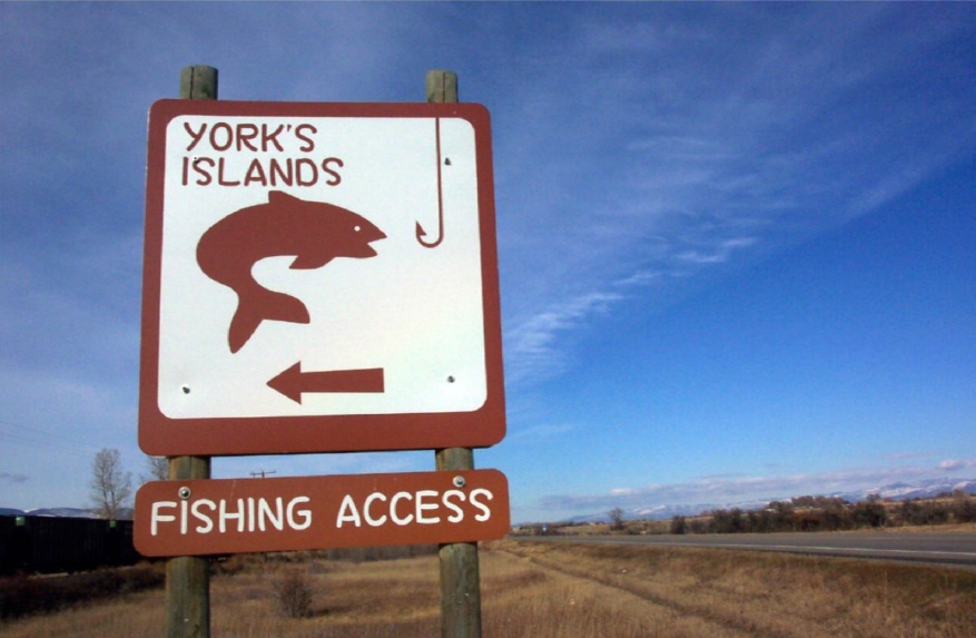
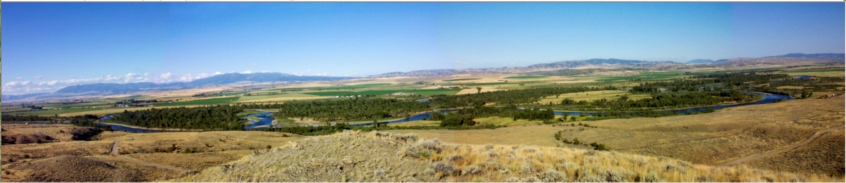
“Yorks 8 Islands” was one of only two features named after York. The other was a tributary of the Yellowstone which Clark called “Yorks Dry Creek.” However, it was later renamed “Custer Creek.” The cluster of islands were officially designated as “Yorks Islands” by the U.S. Board on Geographic Names in 2000, following a push for recognition by the Crimson Bluffs Chapter of the Lewis and Clark Trail Heritage Foundation, located in Townsend, MT. While the islands are predominately privately owned, there is public access available at the Yorks Islands Fishing Access Site, located along the Missouri 3.6 miles south of Townsend, Montana.
The turn off for the site is 3.6 miles south of Townsend, MT on Hwy 287, at mile marker 82. Follow the dirt road for about 1/4 mile.

Distance Unit:
Distance Unit:


The Blackfoot River, sometimes called the Big Blackfoot River to distinguish it from the Little Blackfoot River, is a snow-fed and spring-fed river in western Montana.