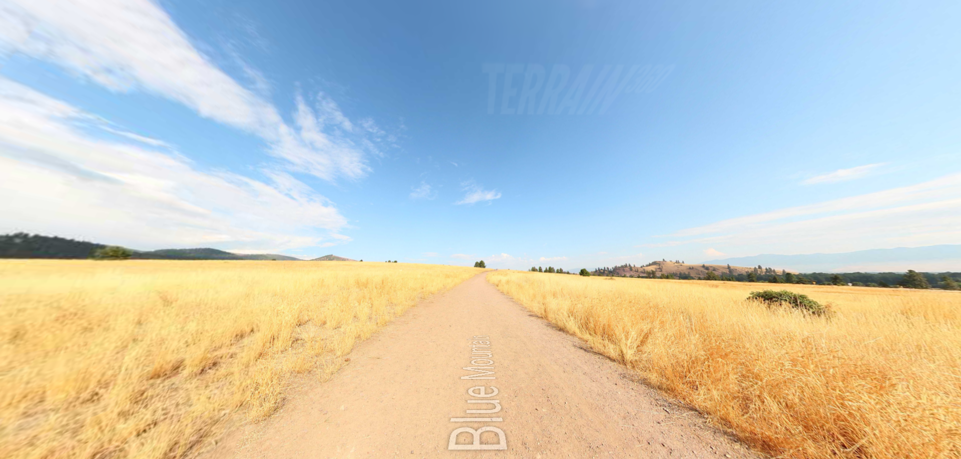
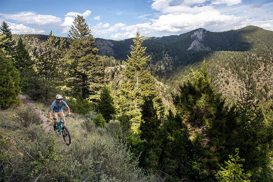
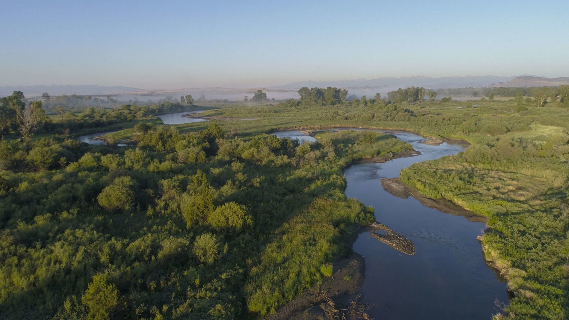
Three Forks of the Missouri
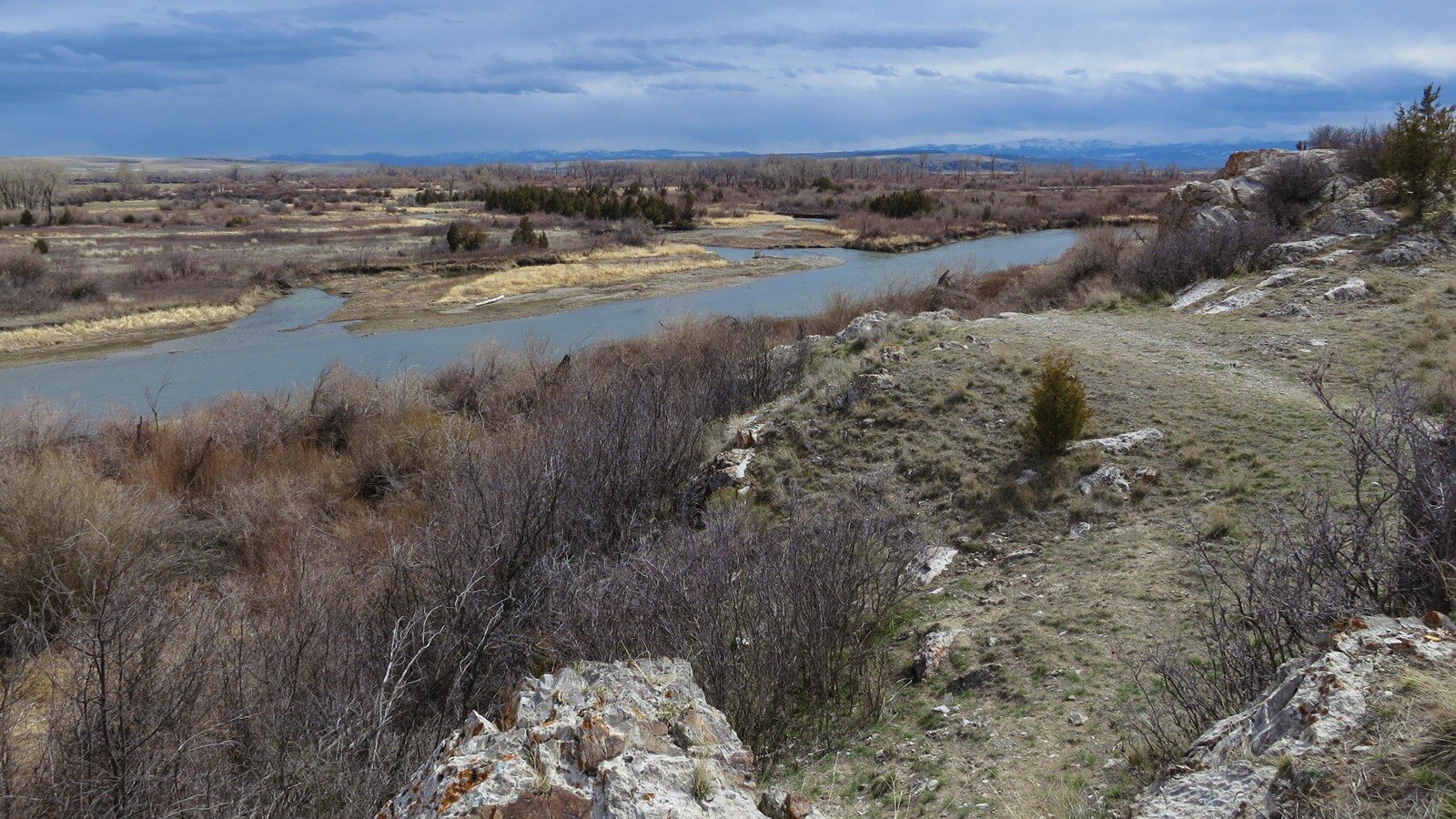
The Three Forks of the Missouri is a high potential historic site along The Lewis and Clark National Historic Trail. The name comes from being the intersection point between the Jefferson River, coming from the north, the Madison River, coming from the middle, and the Gallatin River, coming from the south. Each of these rivers was deemed to have different top qualities by Clark himself, as the Jefferson was the best to travel on, the Madison was the widest, and The Gallatin with the most rapids. Lewis and Clark were said to have used this intersection to help guide them along their path and even came back to it on July 13th.
The site is also home to where Sacagawea was kidnapped by the Hidatsa during a previous raid, giving the site even more historical significance. If you find yourself on Highway 90 in Montana, make sure to stop in Three Forks to see this historic site!
Distance Unit:
Distance Unit: