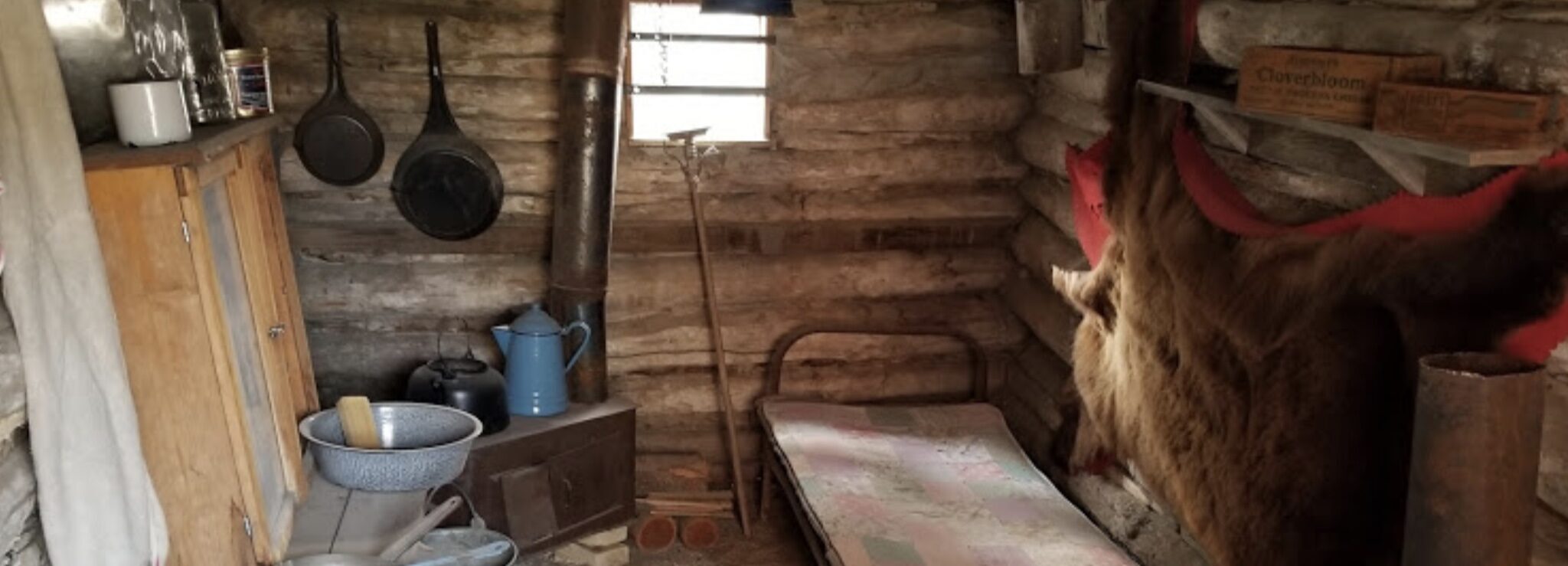
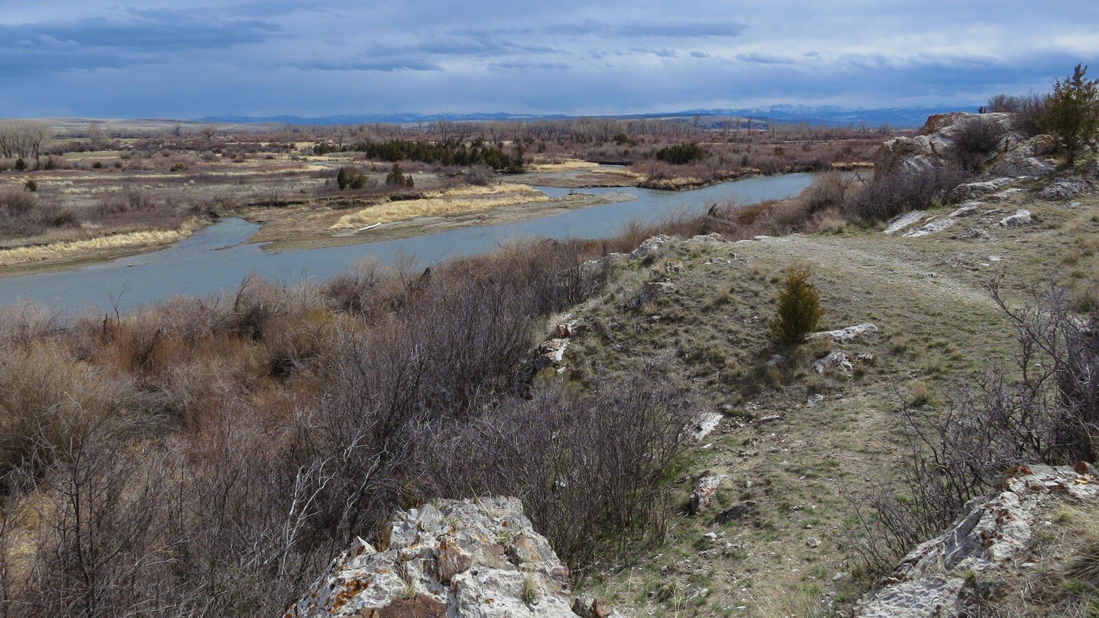
Missouri Headwaters State Park
The Missouri Headwaters State Park holds the point in which the Jefferson, Madison, and Gallatin Rivers come together to form the Missouri River. This prominent point became an important place to many Native peoples. Later, it was a distinguishable point for the Corps of Discovery when they encountered the Headwaters on July 28th 1905. The Missouri Headwaters also provides a rich local history, as fur trappers and miners turned into settlers and farmers. The Missouri Headwaters provides diverse experience opportunities with its deep historical significance, as well as its active wildlife and vibrant natural landscape.
According to the official Montana State Parks website, “Meriwether Lewis wrote the country opens suddenly to extensive and beautiful plains and meadows which appear to be surrounded in every direction with distant and lofty mountains. The legendary Sacajawea was captured here as a child and eventually returned as a member of the Corps of Discovery. Missouri Headwaters State Park preserves much of the region’s abundant wildlife, lush, vegetation, and scenic beauty that have.”
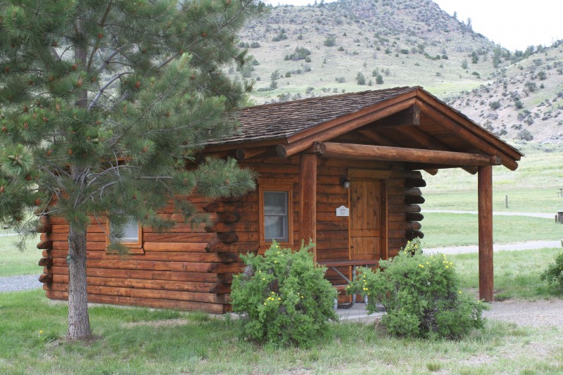
Today, th Missouri Headwaters State Park offers many different hiking trails to explore the park, a bike trail that leads to the near by town of Three Forks, a campground for overnight trips, and ample opportunities for birding, floating, fishing, and learning.
Distance Unit:
Distance Unit:


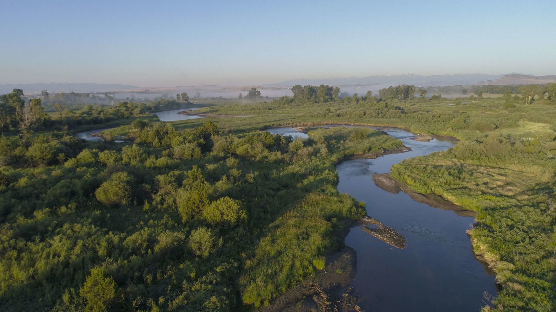
The Blackfoot River, sometimes called the Big Blackfoot River to distinguish it from the Little Blackfoot River, is a snow-fed and spring-fed river in western Montana.