Page Feedback

Huntley Project Museum of Irrigated Agriculture
Huntley Project Museum of Irrigated Agriculture

Information

winter hours are 10 .m. to 4 p.m. Memorial Day to Labor Day - 9 a.m. to 5 p.m.
406-348-2533
Free
lat: 45.925988 long: -108.240783

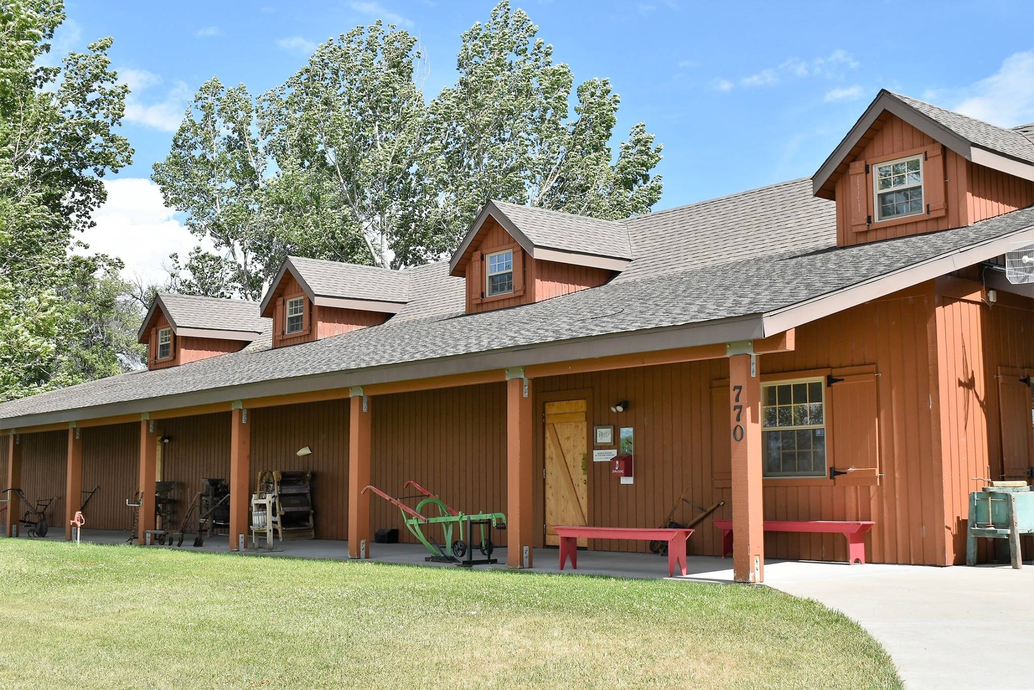
The Huntley Project is an irrigation project by the U.S. Bureau of Reclamation. The Huntley Project Museum tells the story of how the irrigation project came to be, how it was constructed, & the homesteaders & events that settled it. The Huntley Project has it’s own unique history within the history of Montana. The museum is on approximately 10 acres with a park like setting. You can stroll the historic town of Osborn, Montana & learn the hardships & successes of rural life 111 years ago. There is a huge selection of antique farm equipment which you can enjoy in action during the annual Threshing Bee held every third weekend in August.

Nearby Attractions

Distance Unit:

Nearby Trails

Distance Unit:

Weight Station Fishing Access

lat: 46.8788874 long: -113.8525126
Rivers Edge Trail

lat: 47.517582 long: -111.2649299
Travelers Rest State Park

lat: 46.753308 long: -114.0899468
Blackfoot River

The Blackfoot River, sometimes called the Big Blackfoot River to distinguish it from the Little Blackfoot River, is a snow-fed and spring-fed river in western Montana.

lat: 46.9177068 long: -113.6781495
Upper Hauser Lake

lat: 46.6822743 long: -111.8215701
James Kipp Landing

lat: 47.6276519 long: -108.6854877
Hole in the Wall to Judith Landing

lat: 47.7400888 long: -109.6276312
Lewis and Clark Highway

lat: 44.97475 long: -113.44537
Lemhi Pass Road

lat: 44.9579032 long: -113.3652553
Missouri River Left

lat: 46.6822743 long: -111.8215701
Beaver Creek to Hauser Lake

lat: 46.6822743 long: -111.8215701
Decision Point

lat: 47.9249036 long: -110.4985534
Send Feedback

Instagram Feed