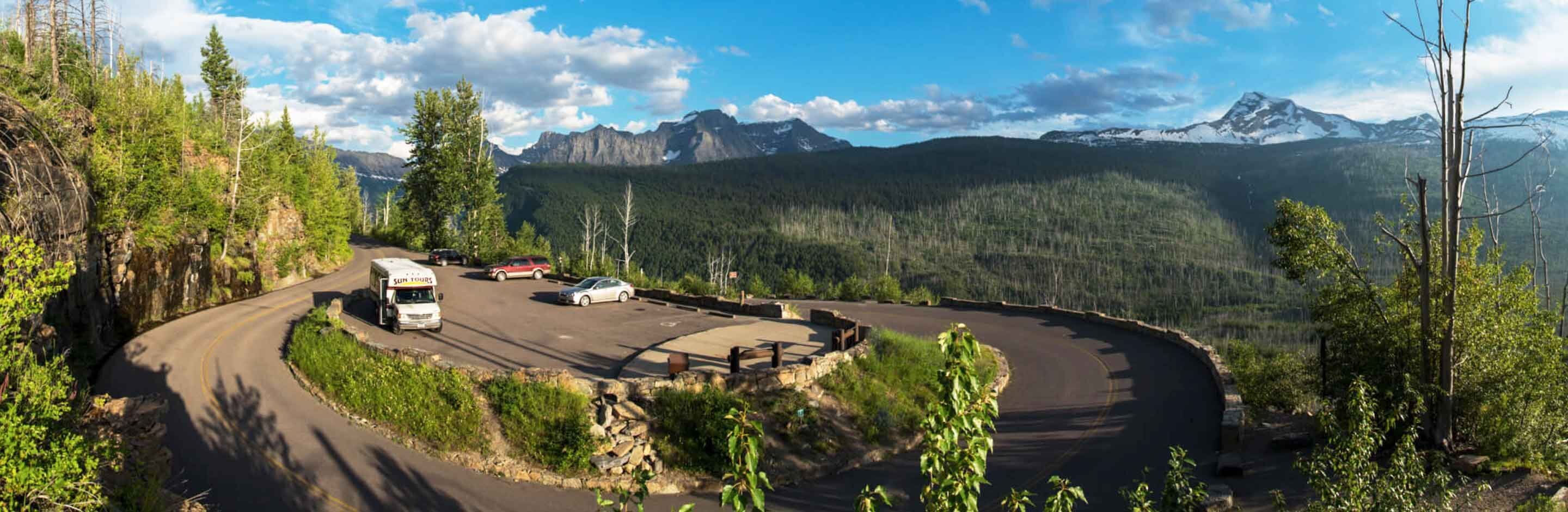
Camp Misery Trailhead
“Hidden away by the Gods, like a necklace of pearls, among the crags and fastness of the Swan Mountains, lies the Jewel Basin, the enchanted land of this our Montana.” (Eugene Cosgrove)
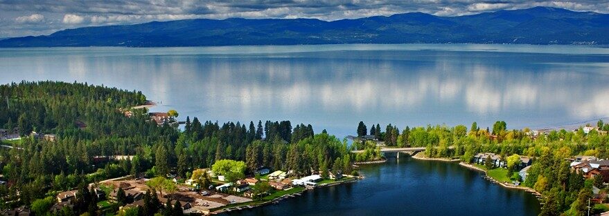
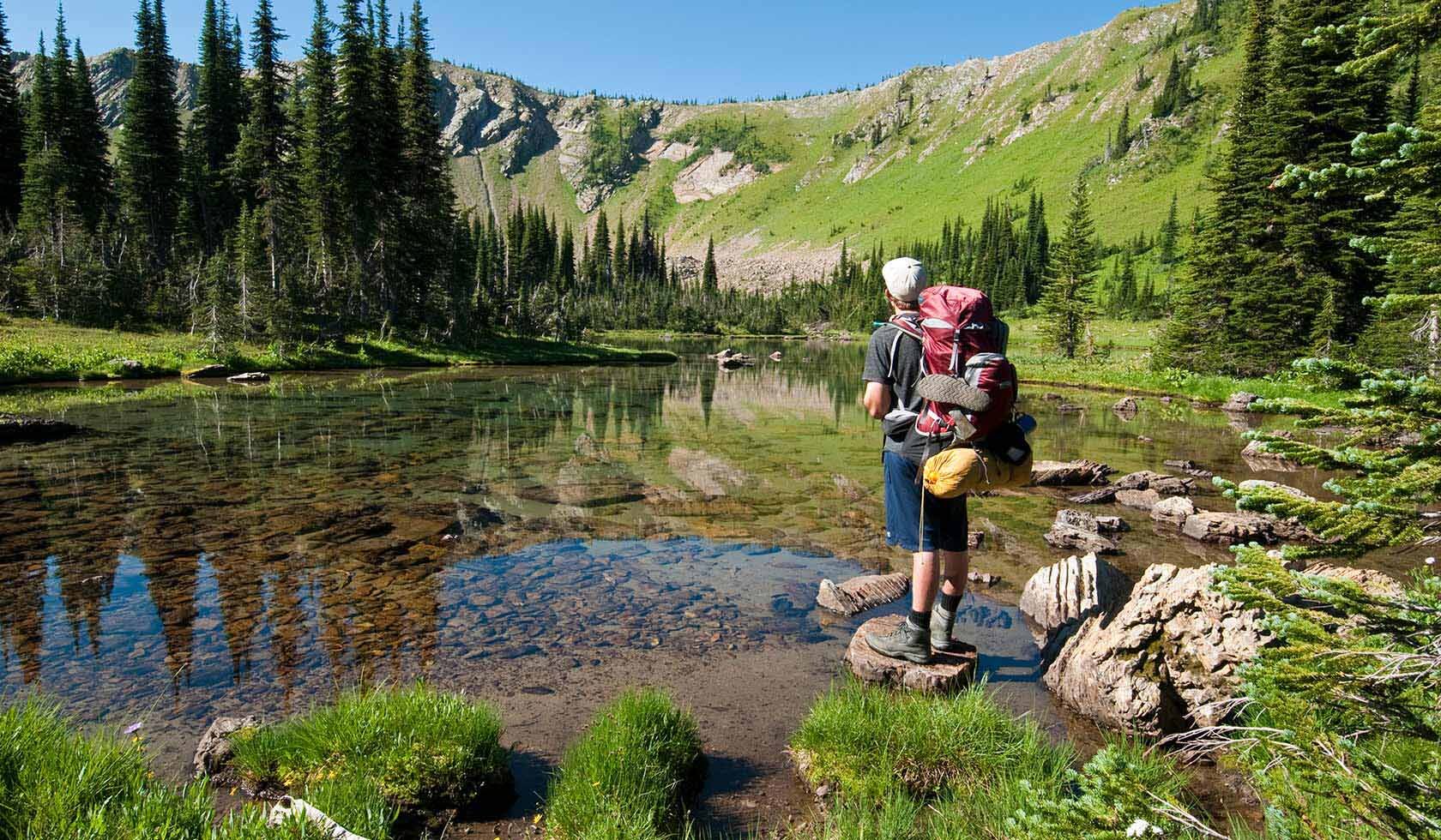
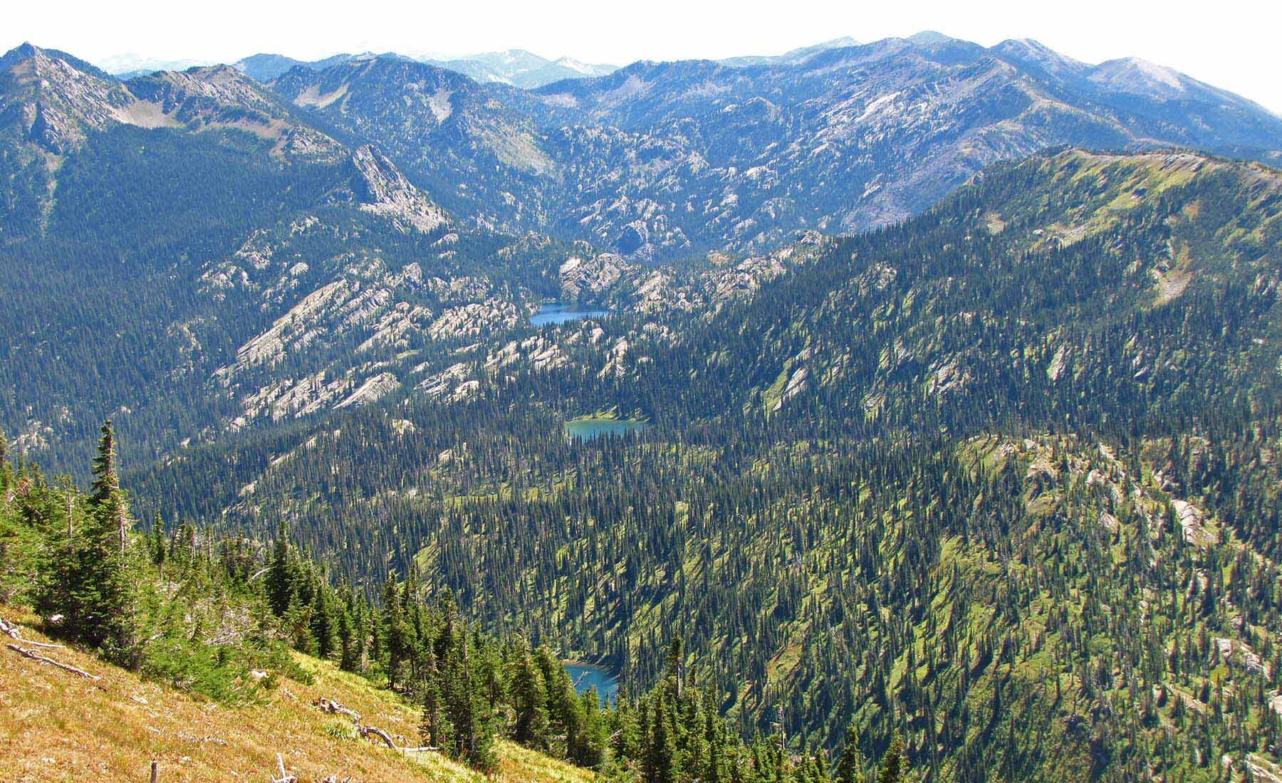
Camp Misery is the main trailhead for the Jewel Basin Hiking Area, which is considered as a favourite spot among Bigfork locals. Described as a day hiker’s paradise, Montana’s Jewel Basin is an outstanding choice if you’re looking to get even farther away from it all and experience the high mountain area popular for backpacking, fishing, and wildlife viewing. Located in the Swan Range, above the eastside of the Flathead Valley – the spectacular views look into the Bob Marshall Wilderness and the southwest portions of Glacier National Park. Hikes range from easy to demanding, depending on the route you choose, however all trails involve some elevation gain. Note that before you embark on this thrilling journey, a map is highly recommended, and it can be purchased at the most local sporting goods stores. You may also download it from here.
Distance Unit:
Distance Unit: