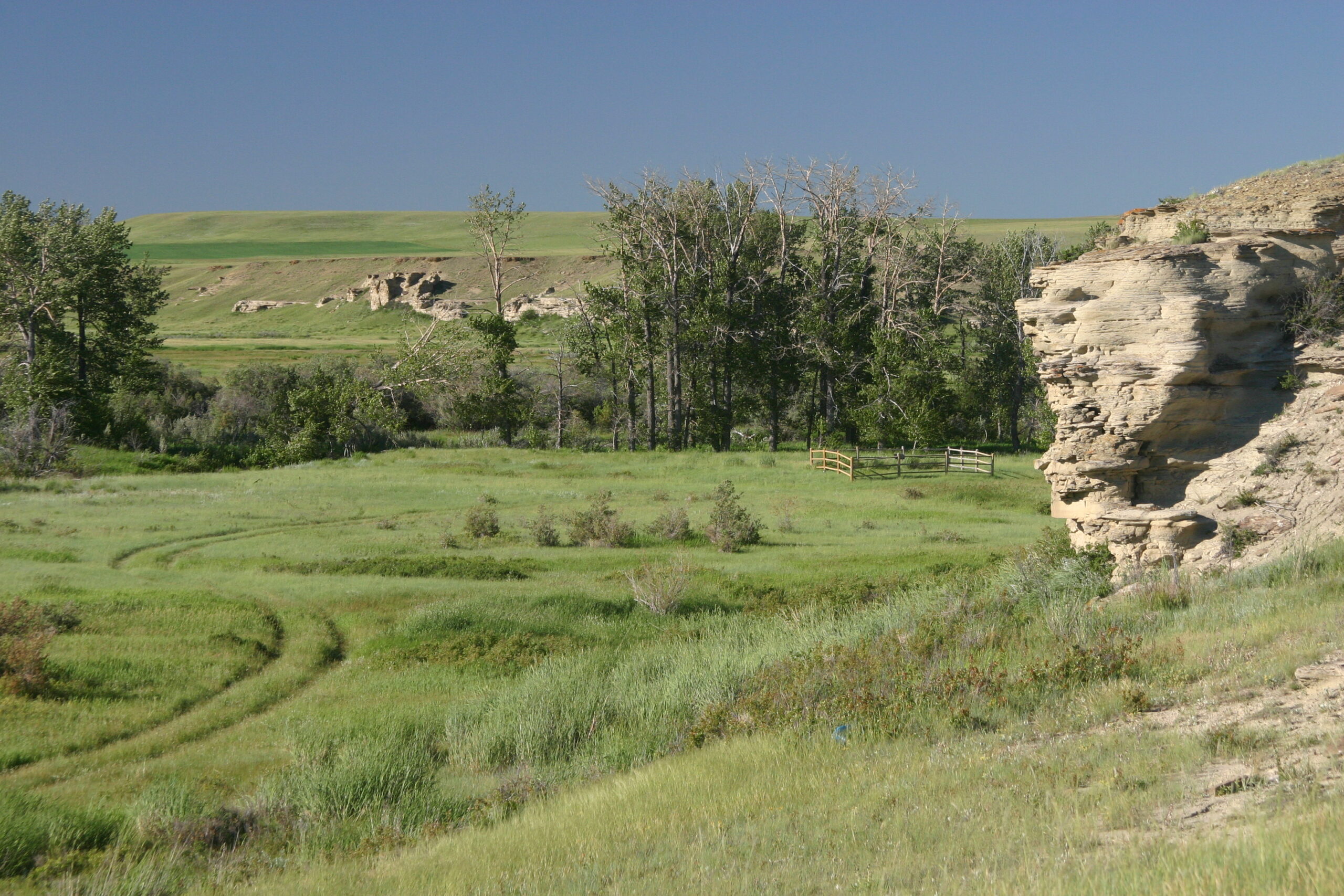
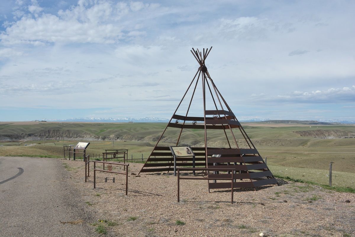
Two Medicine Fight Site
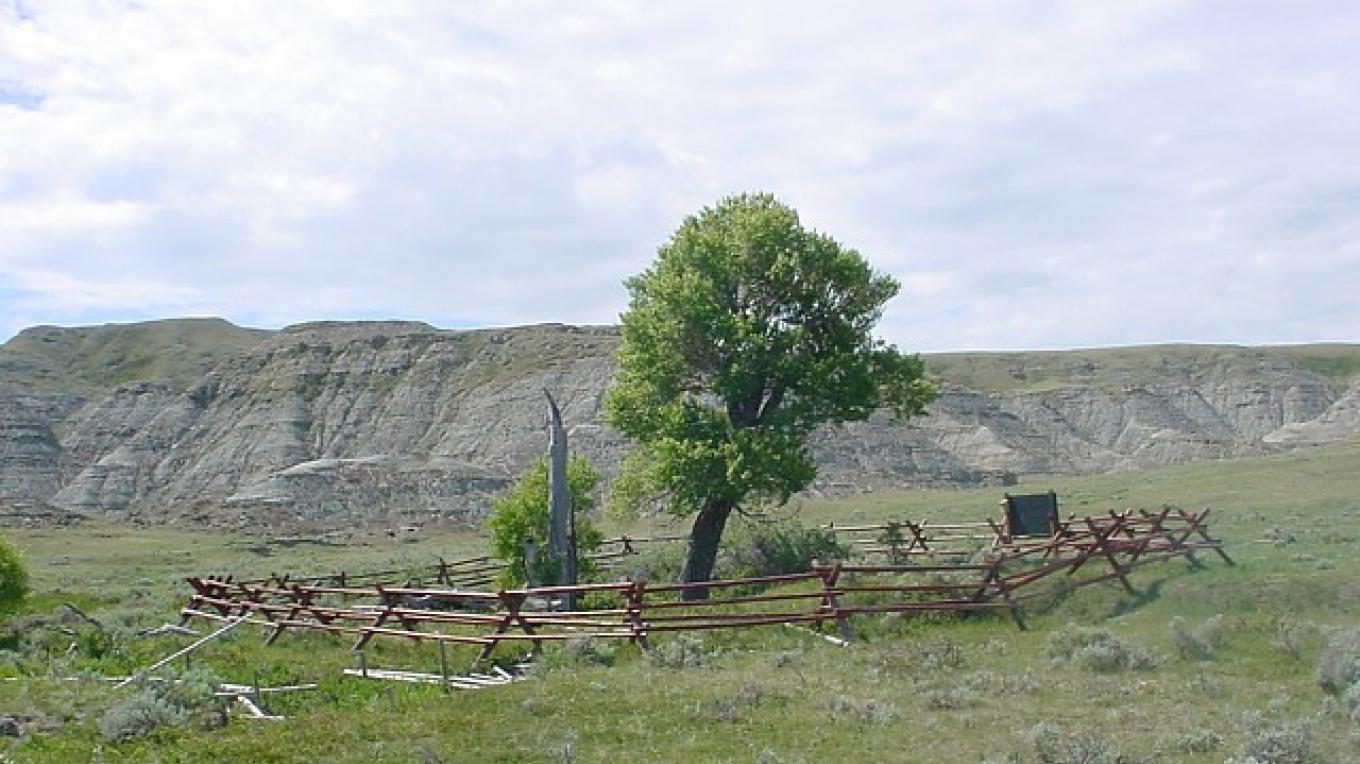
Located along the Two Medicine River, the Two Medicine Fight Site is the location of the only violent encounter on the expedition of Lewis, Clark, and the Corps of Discovery. The site is a High Potential Historic Site along the Lewis and Clark Trail and represents many firsts for the United Sates and for the expedition.
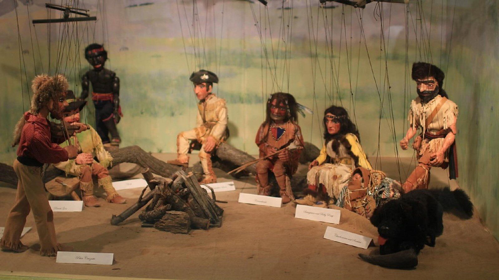
The Two Medicine Fight Site represents the first encounter with the Blackfeet Nation, a Native American Tribe that for much of the trip through Montana had been narrowly avoided. The Blackfeet nation were enemies to many of the tribal nations that the Corps of Discovery were in alliance with, such as the Nez Pearce and Shoshone nations. The Blackfeet Nation was also understandably unwelcoming to white men. It is no surprise that when Meriwether Lewis and three others, George Drouillard (an interpreter hunter, and cartographer), and brothers Joseph and Reubin Field (two of the expeditions top hunters) were walking on Blackfeet Territory and happened on a group of young Blackfeet tribesmen, there was fear of an outbreak of violence. However, the expedition narrowly avoided any violence during the initial meeting.
On the evening of July 26, 1806, the camp was awoken to the sound of Blackfeet attempting to steal firearms. Unsuccessful in their attempt, two to three Blackfeet tribesmen were killed while the rest escaped. Quickly after this encounter, the campsite was packed up and the expedition fled in fear of a larger attack.
In addition to the Two Medicine Fight Site being the first encounter with the Blackfeet Nation and first violent encounter, it was also the first military conflict between the US and a plains tribe.
Today, the Two Medicine Fight Site is still in the Blackfeet Indian territory on the Blackfeet Indian Reservation. To access the site, permission is required.
Distance Unit:
Distance Unit: