Missoula, Montana
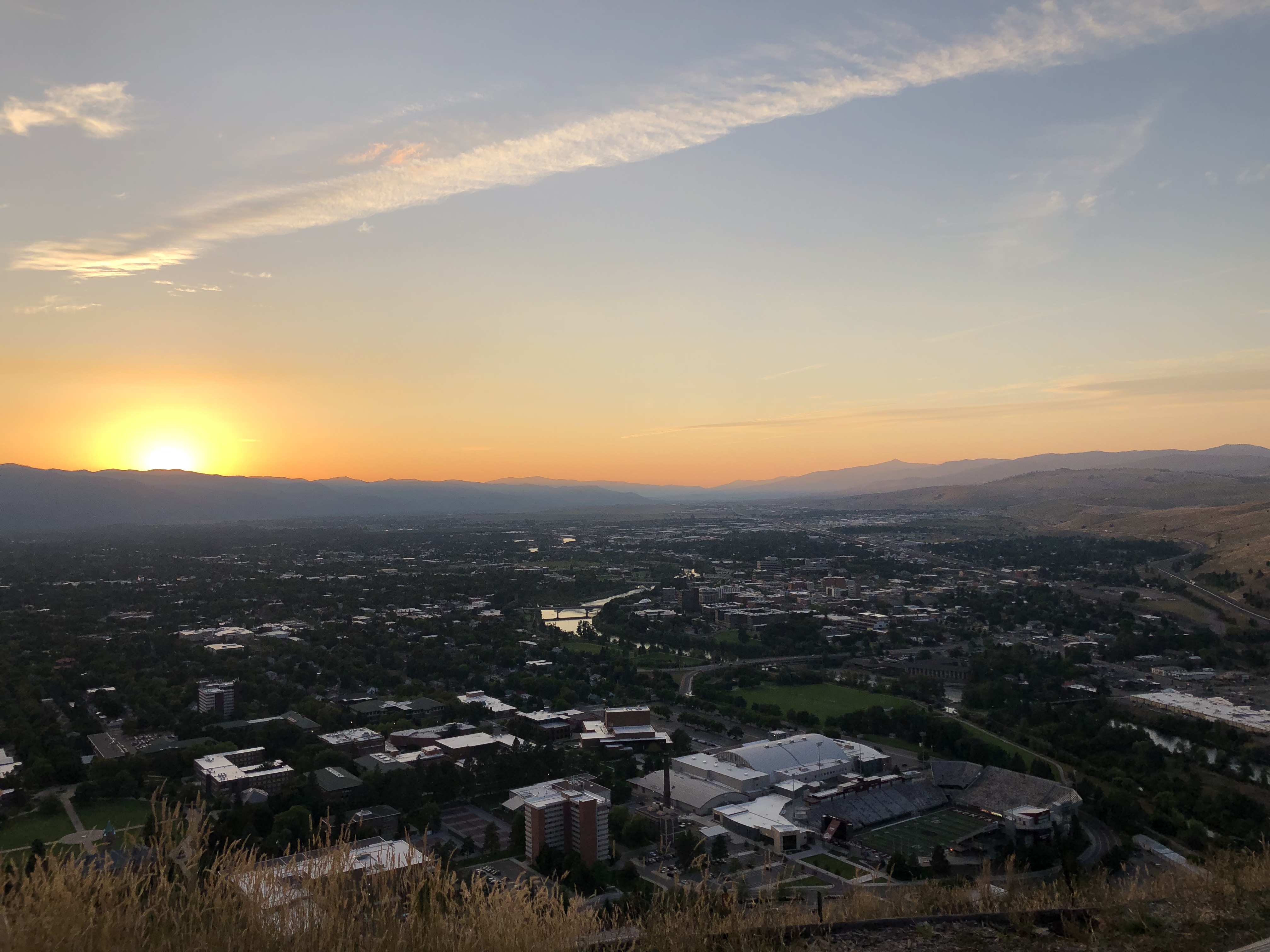
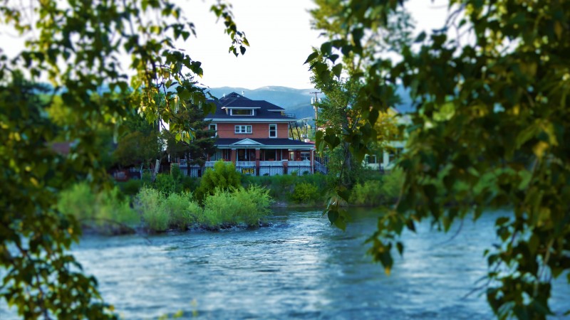
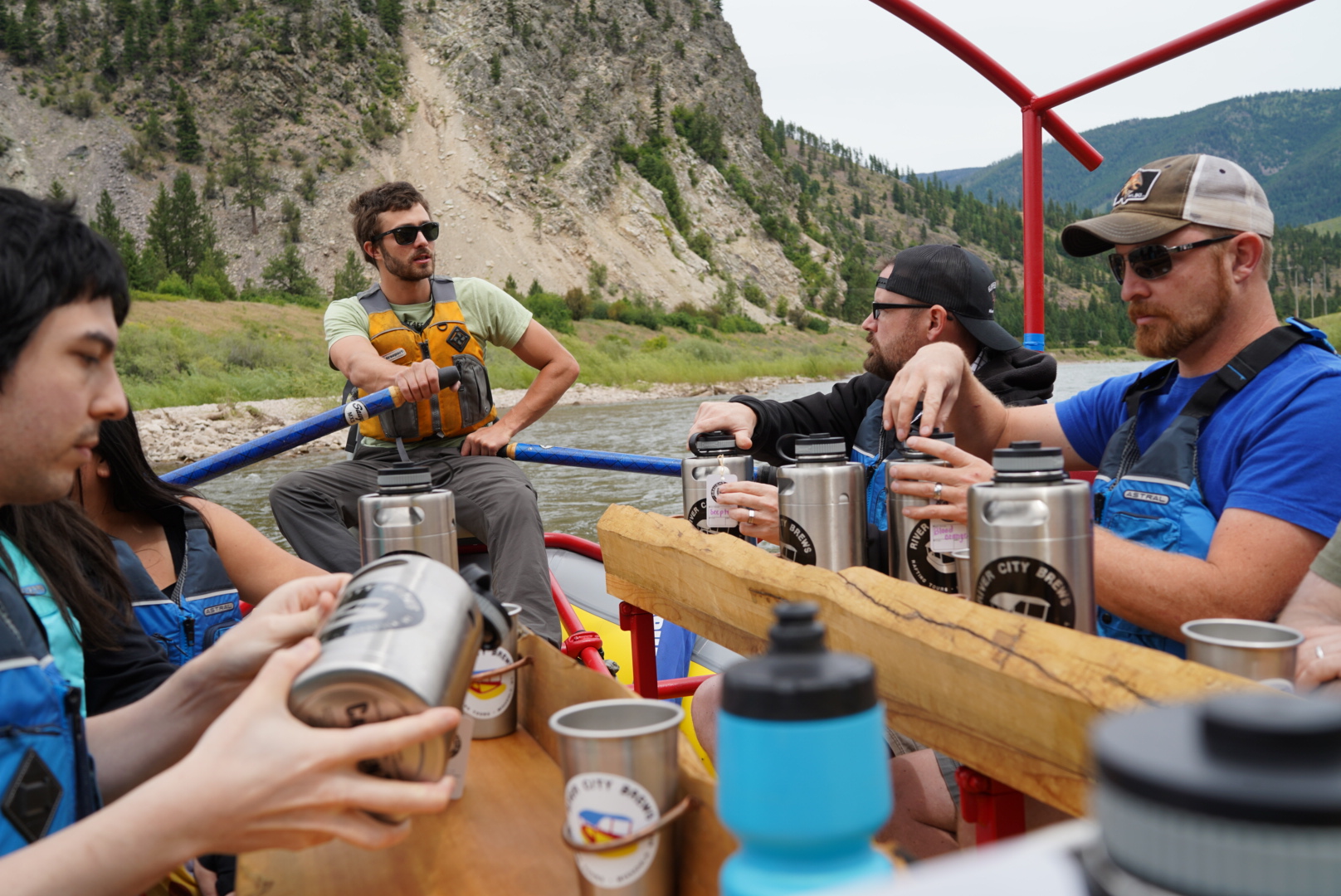
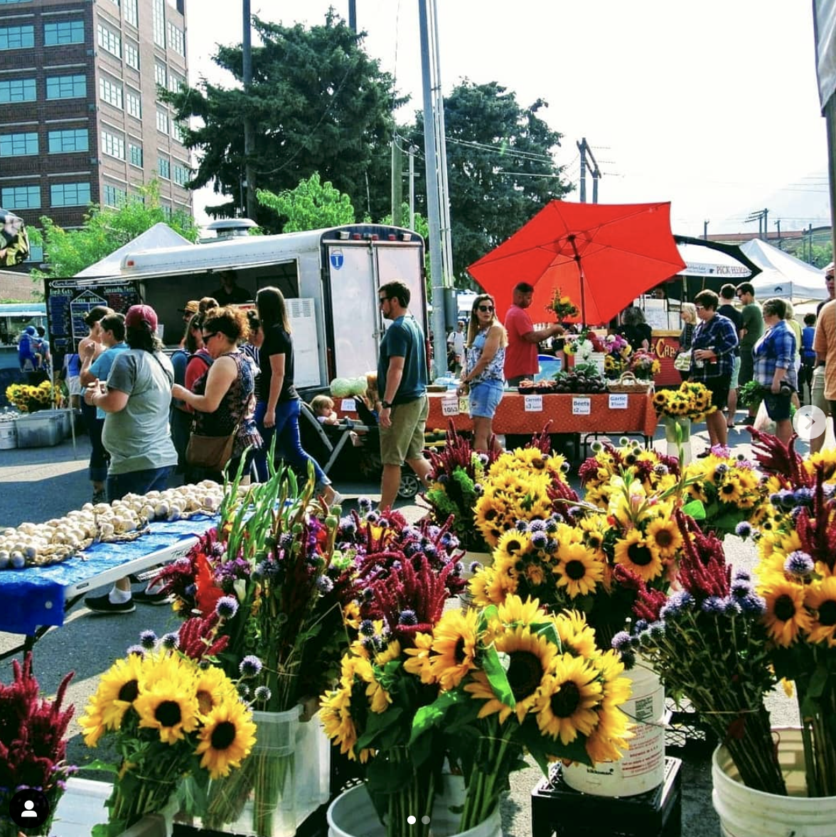
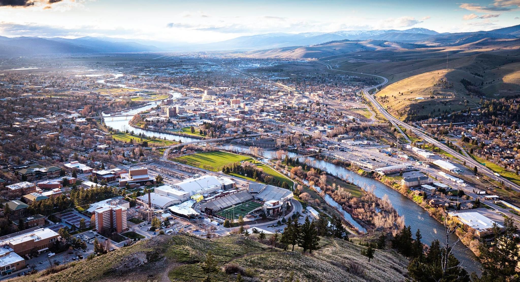
Missoula is a friendly, outdoorsy, supportive city in western Montana, a city surrounded by beautiful scenery that lies just north of the Rockies and that is fully submerged in the Lolo National Forest and the Rattlesnake National Recreation Area. This area is filled with endless outdoor opportunities that are mainly centered around The Clark Fork River, Snowbowl, and other surrounding recreational areas. The Clark Fork River acts as the main artery of the town as it cuts through the center of Missoula. Along the side of the Clark Fork River, many events take place, such as farmer’s markets, beer festivals, live music, and charity-runs.
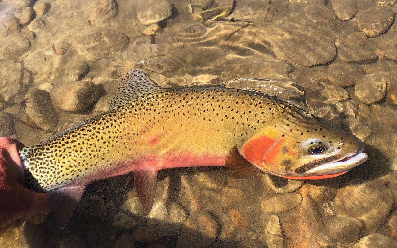
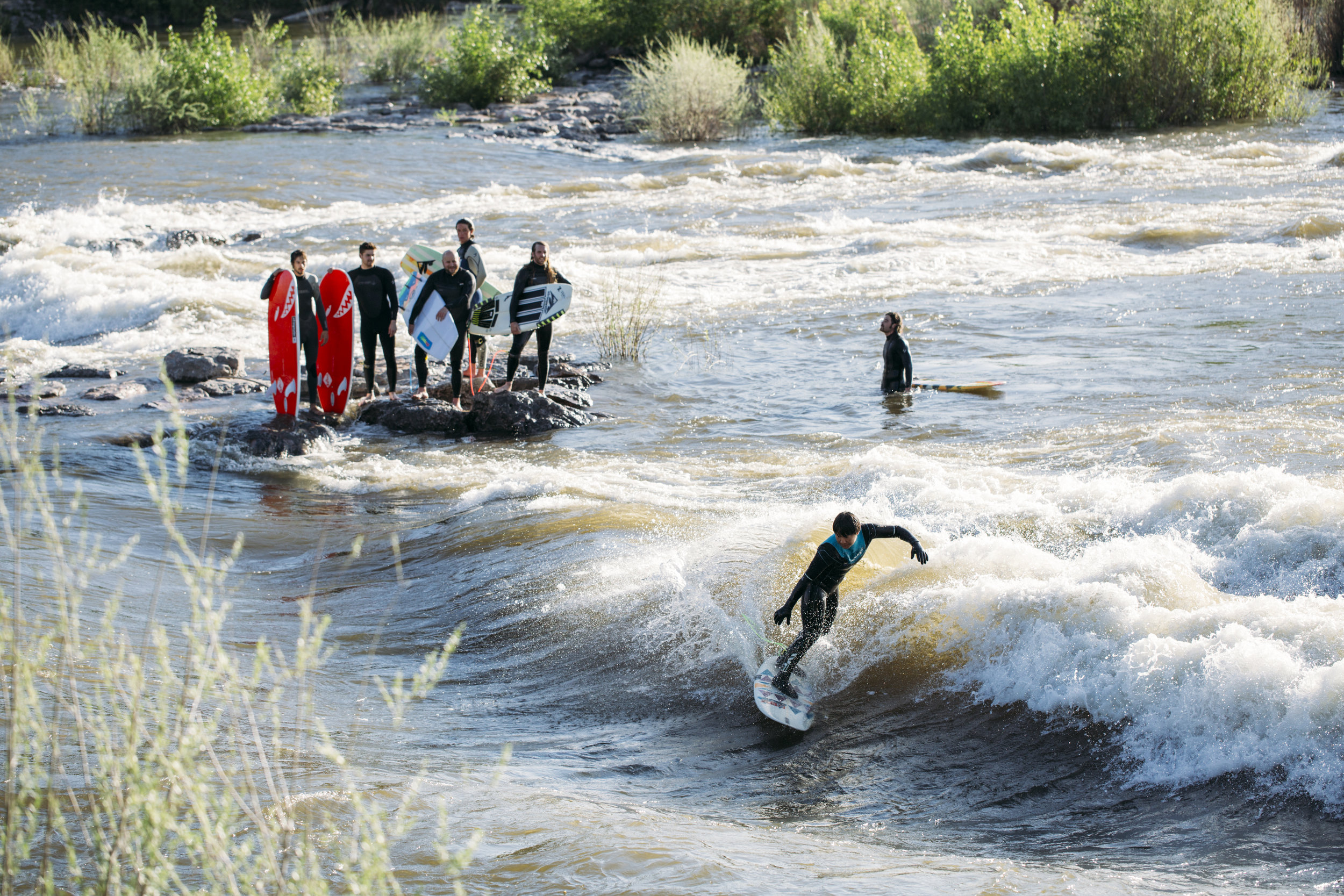
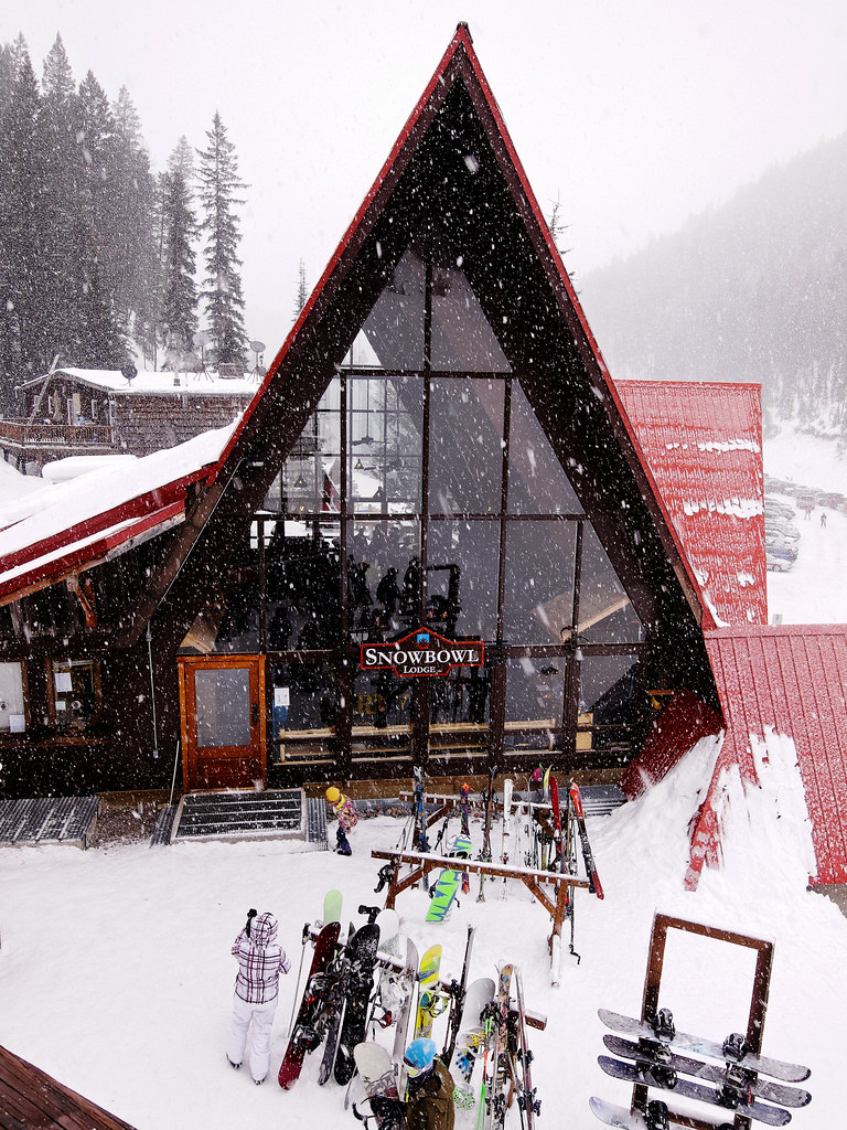
A significant feature that the Clark Fork River brings to Missoula is Brennan’s Wave. Brennan’s Wave is a manmade wave that gives water sports a place to gain whitewater experience. The Clark Fork also provides rafting, kayaking, and surfing opportunities to enjoy as you float through the town. Snowbowl Ski Resort is a roughly thirteen-mile drive from downtown Missoula. Snowbowl opens 950 acres of skiable area and gains about 2,600 feet from base to the top of the mountain. With the other surrounding recreational areas around Missoula, the city allows for any outdoor activity from mountain biking, hiking, paragliding, fishing, and so much more!
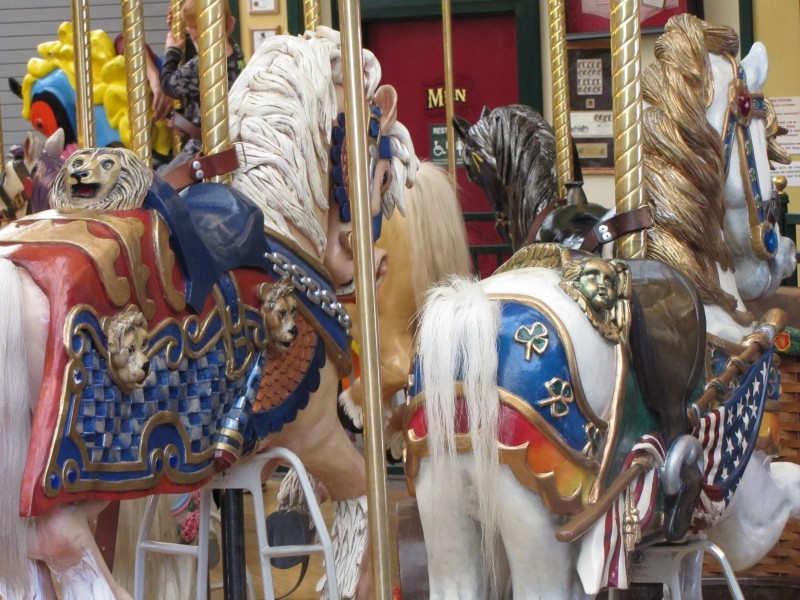
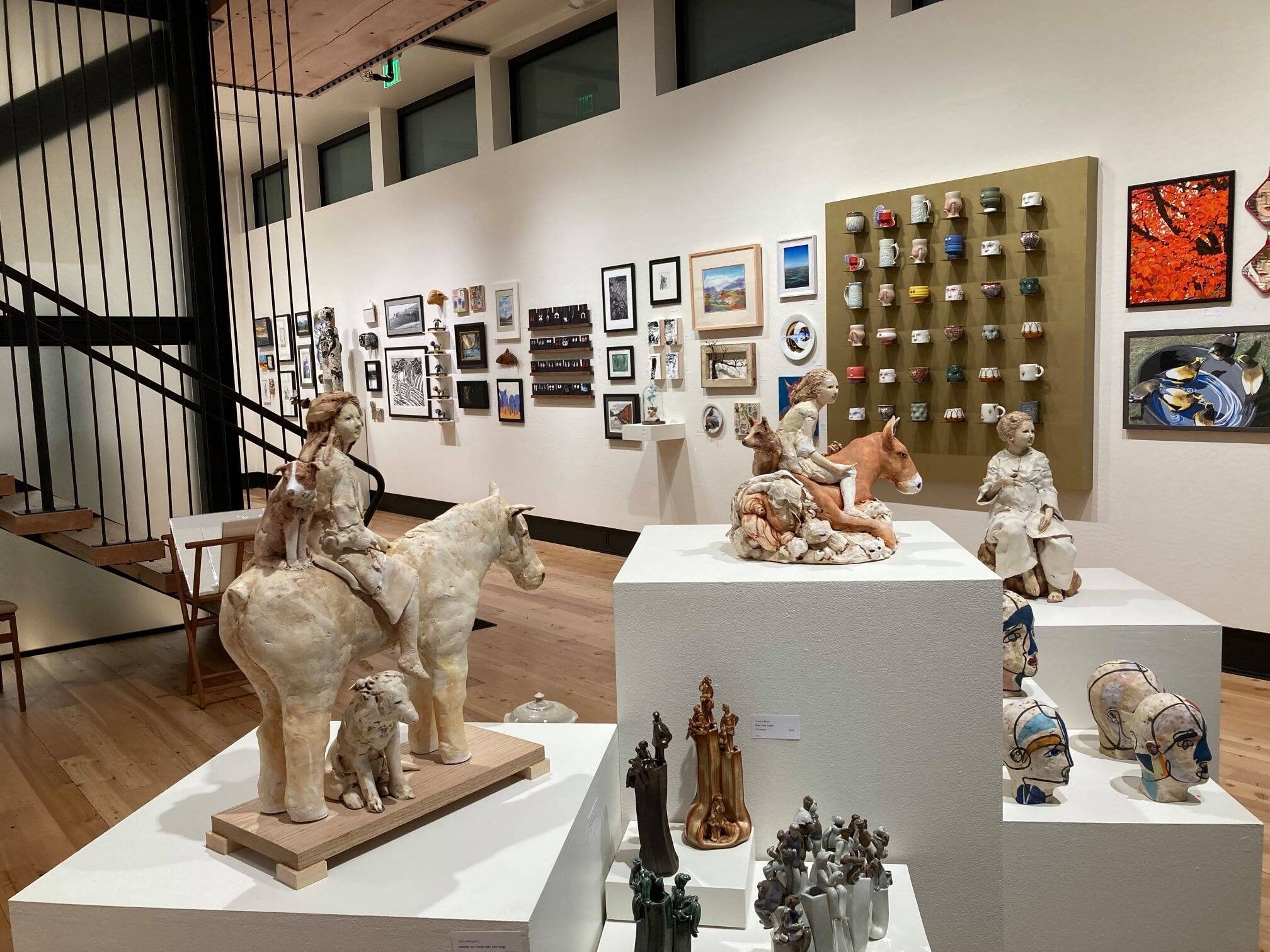
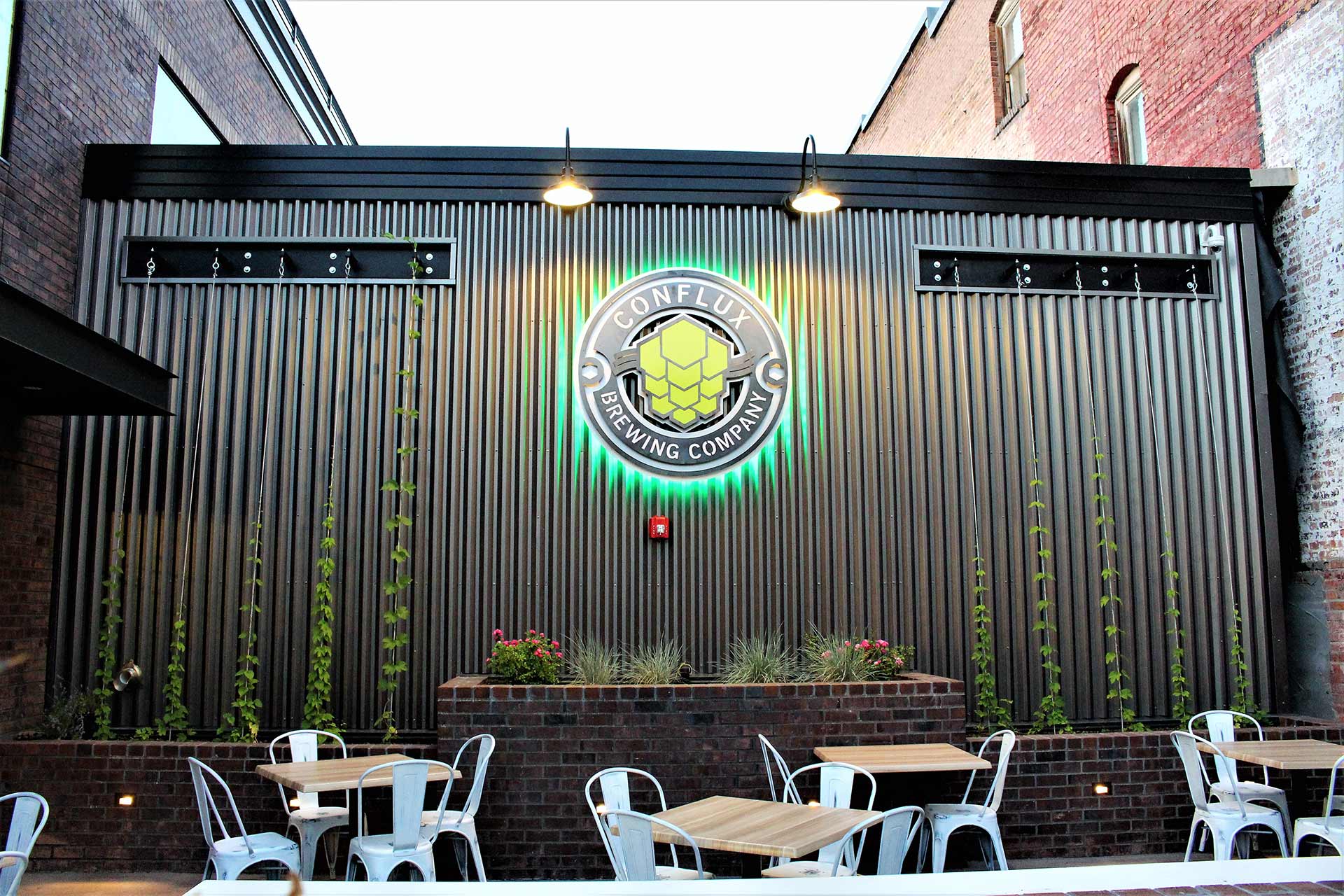
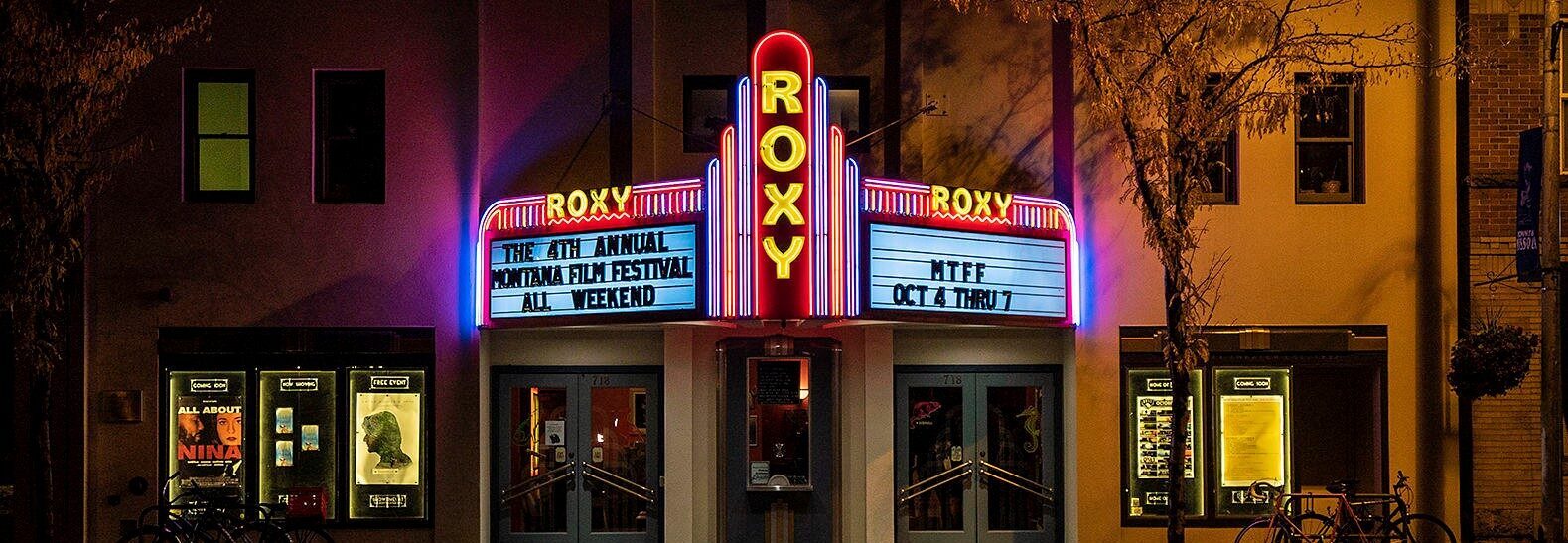
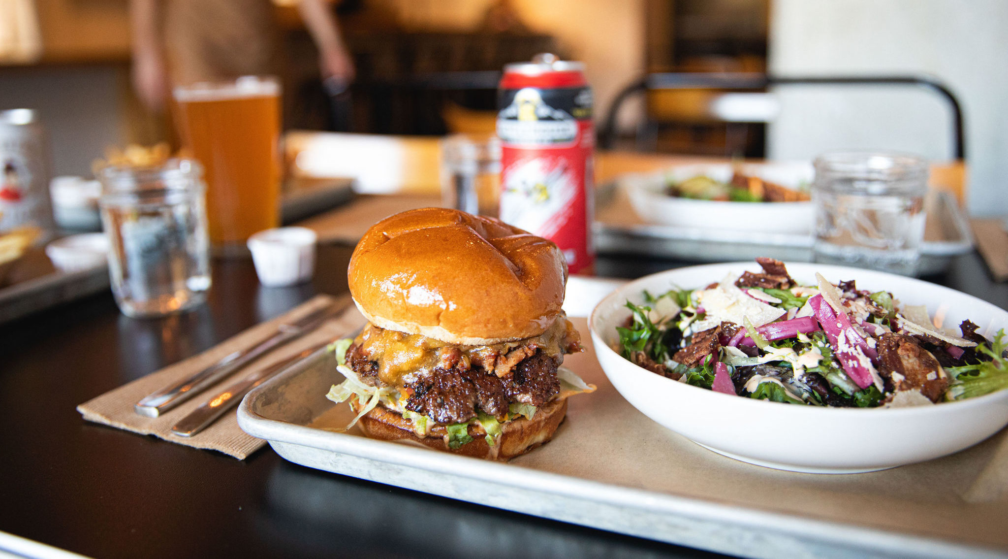
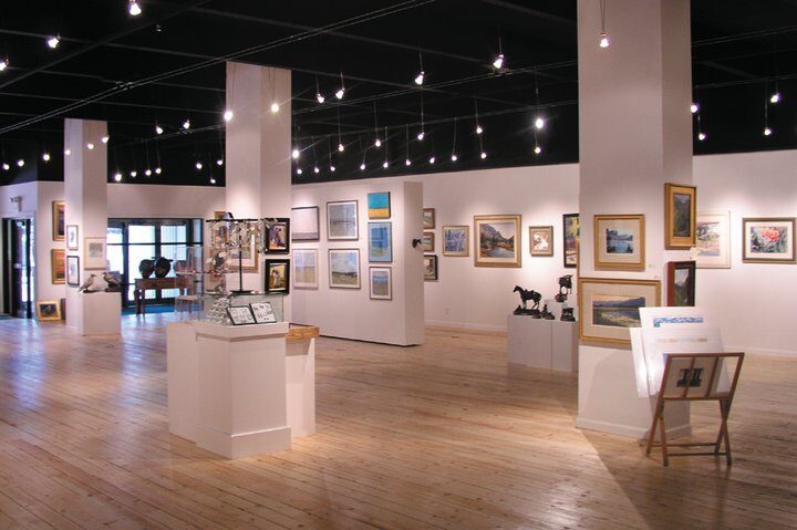
The downtown life is live with art and culture, breweries, shopping, and dining. The connection between past and present is represented through different displays. The Historical Museum at Fort Missoula was one of the first military posts, showing fifteen historic structures at this site. The Travelers Rest State Park is the pinpoint of Lewis and Clark and the Corps of Discovery campsite, highlighting the importance of the land’s original Native occupants.
Distance Unit:
Distance Unit:


A trail starting at Hauser Dam and overlooking the Missouri River.