Page Feedback

Montana Natural History Center

Montana Natural History Center

Information

Sunday-Monday: Closed Tuesday-Saturday: 11:00 a.m. – 4:00 p.m. You can call us any time during our business hours: Monday-Friday, 9am-5pm
406-327-0405
Children under 4: FREE, Children (4-18): $1, Adults (18+): $4, Family Rates: $8, Seniors & Veterans: $3, MNHC members: FREE, ASTC Travel Passport Members: FREE, EBT Card Holders: FREE
lat: 46.8706701 long: -114.0062453

In 1991 a group of diverse educators came together to form an environmental education program centered around the natural history of western Montana.

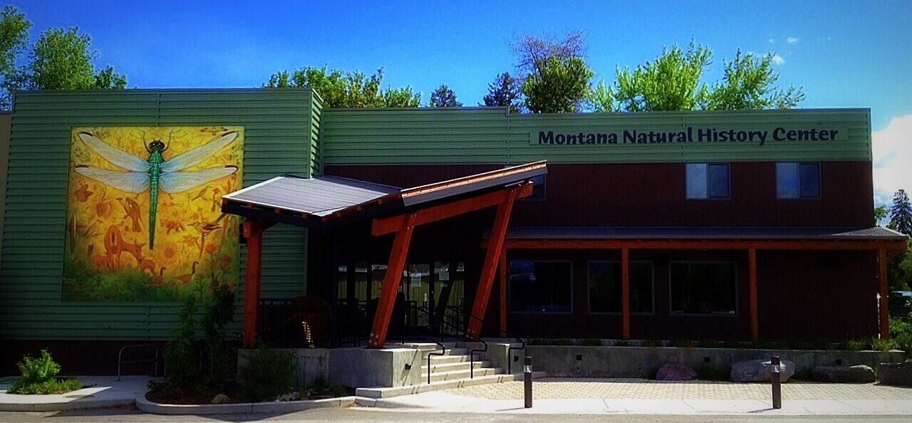
The mission of the Montana Natural History Center is to promote and cultivate the appreciation, understanding, and stewardship of nature through education. MNHC was the brainchild of a group of educators who were involved in various efforts to educate both kids and adults about the natural history of western Montana, and who decided to unite those efforts into one environmental education organization.

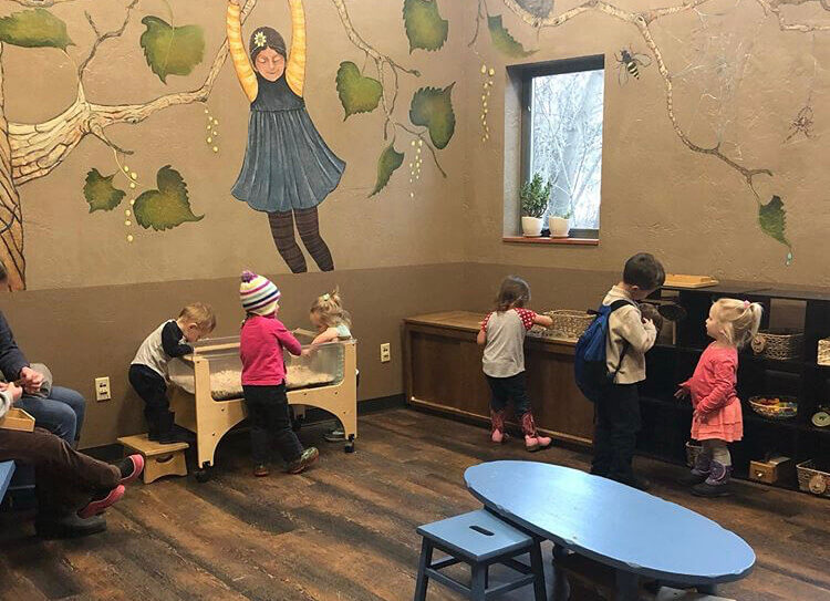
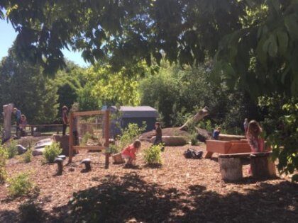
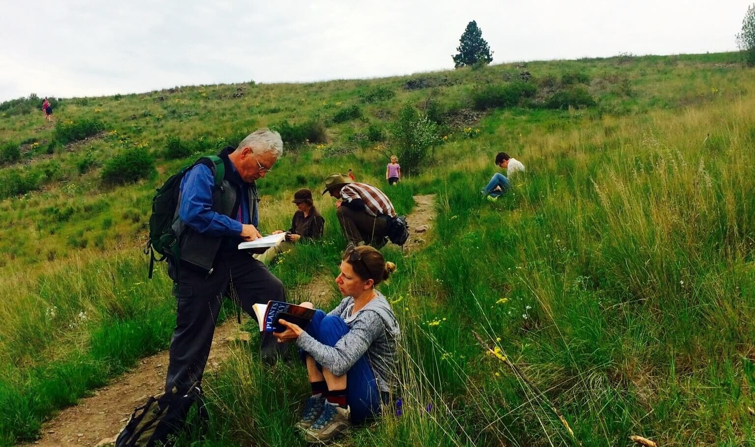
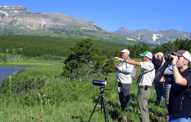
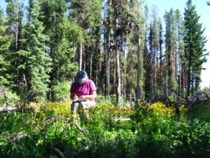
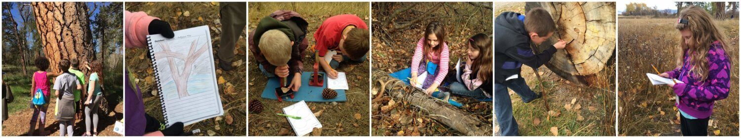
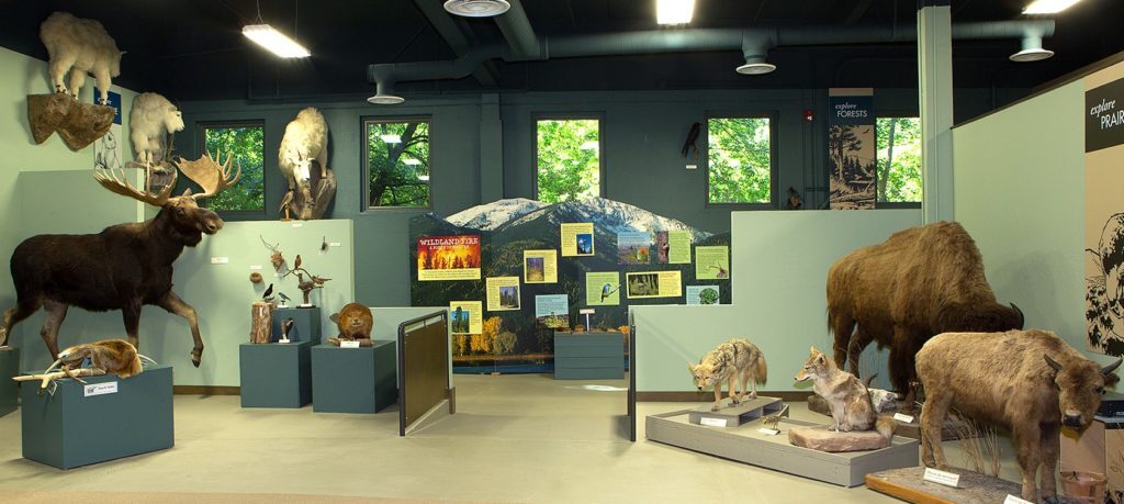
The Montana Natural History Center provides nature education programming for people of all ages through summer camps, kids’ activities, Visiting Naturalist in the Schools, Master Naturalist certification courses and Field Days, evening programs, Field Notes on Montana Public Radio, museum tours, and more. We have a variety of exhibits that focus on the flora, fauna, geology, and ecology of our beautiful state. Please stop by and visit!

Nearby Attractions

Distance Unit:

Nearby Trails

Distance Unit:

Lemhi Pass Road

lat: 44.9579032 long: -113.3652553
Rivers Edge Trail

lat: 47.517582 long: -111.2649299
St Lawrence Creek Fishing Access

lat: 45.7109992 long: -111.0506995
Russell Gates to Clearwater River

lat: 46.9502198 long: -113.3787584
Lolo Trail to Nee Me Poo Trail #40

lat: 46.58654 long: -114.73281
Judith Landing

lat: 47.7408449 long: -109.6284022
Portage Camp Overlook

lat: 47.5052849 long: -111.3007715
Clearwater to Dunnigan Gulch

lat: 46.9502198 long: -113.3787584
Imnamatoon Road

lat: 46.59337 long: -114.61484
Missouri River Left

lat: 46.6822743 long: -111.8215701
Coal Banks Landing to Eagle Creek

lat: 48.0338635 long: -110.2279854
Missouri River Right

lat: 46.6822743 long: -111.8215701
Send Feedback

Instagram Feed