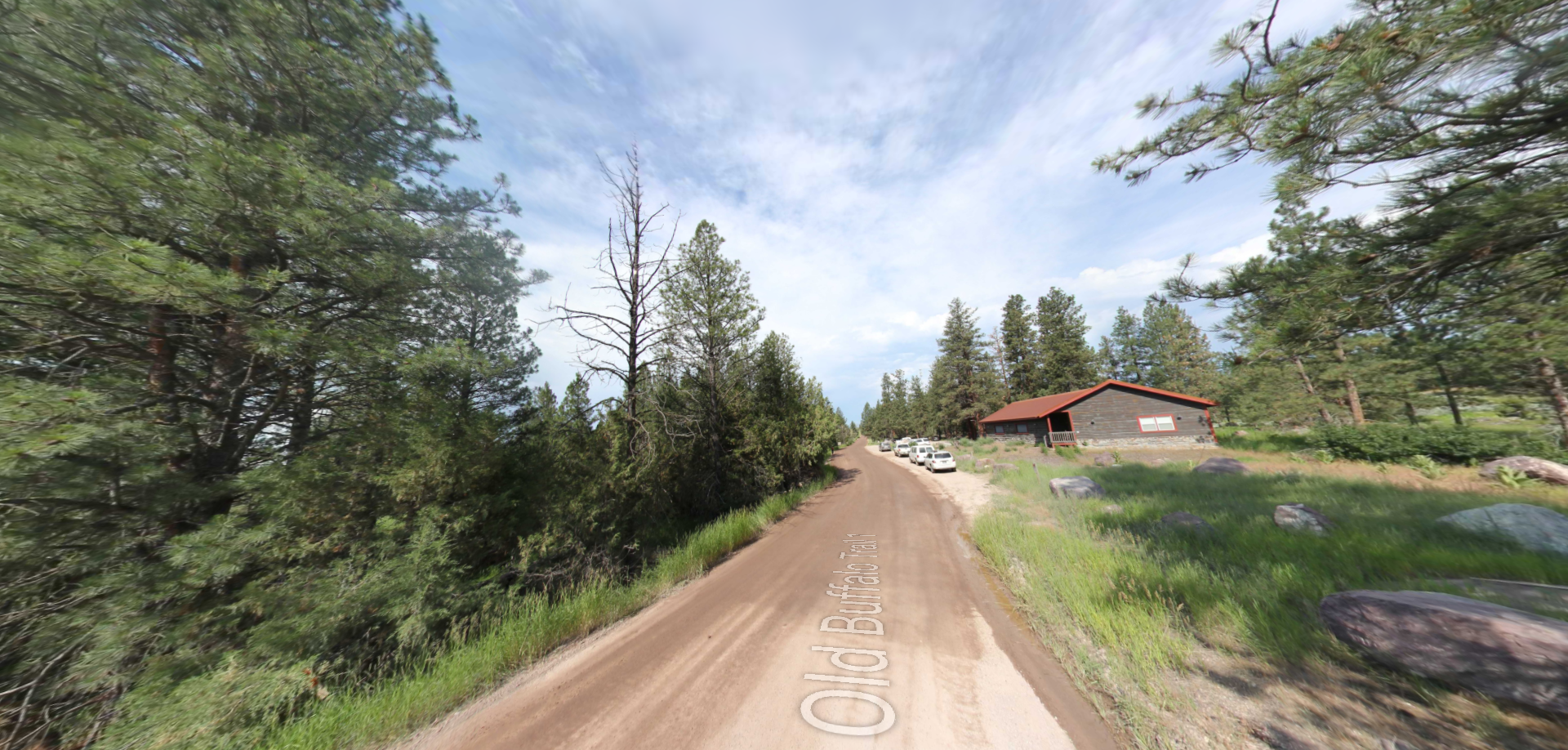
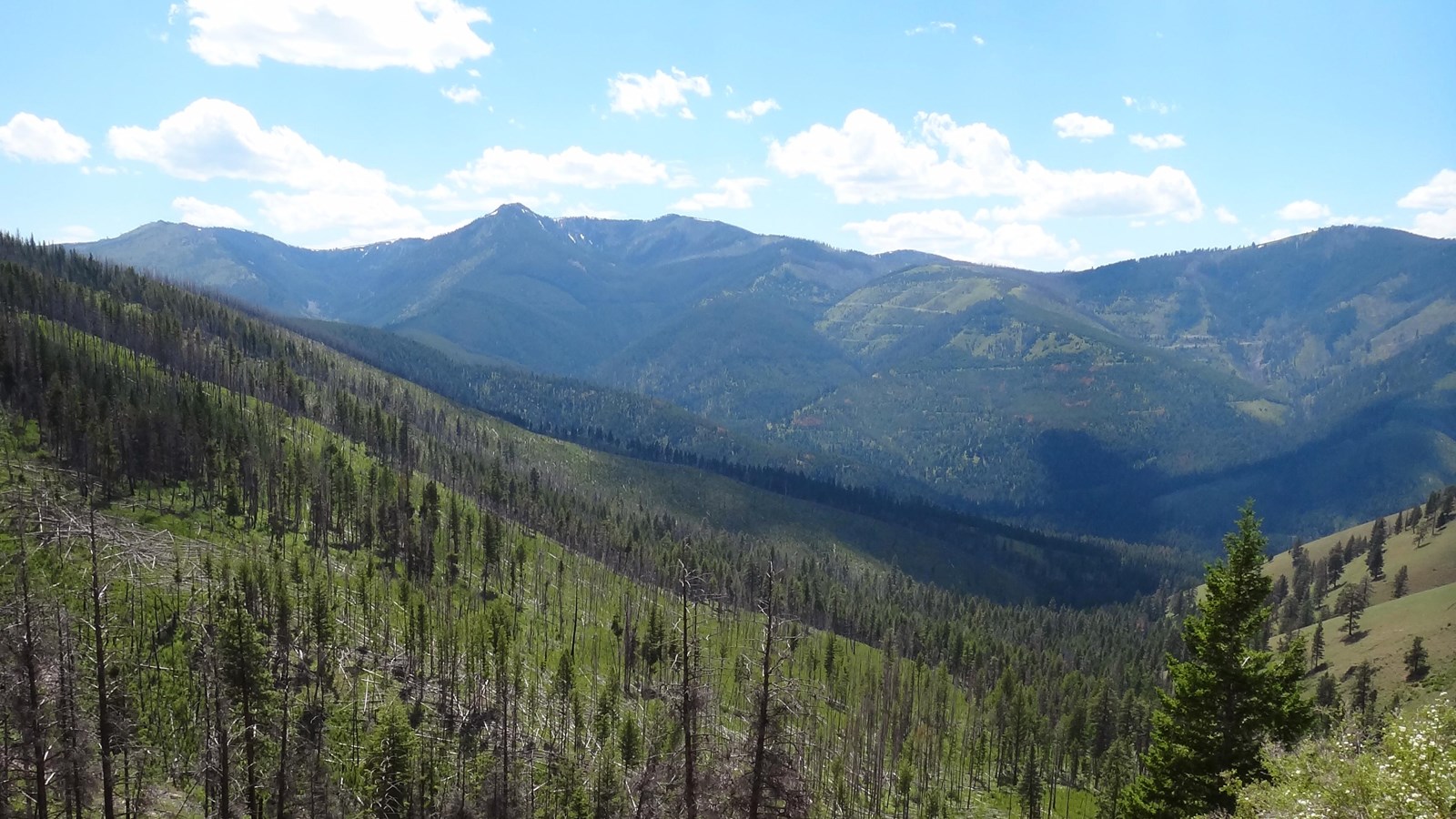
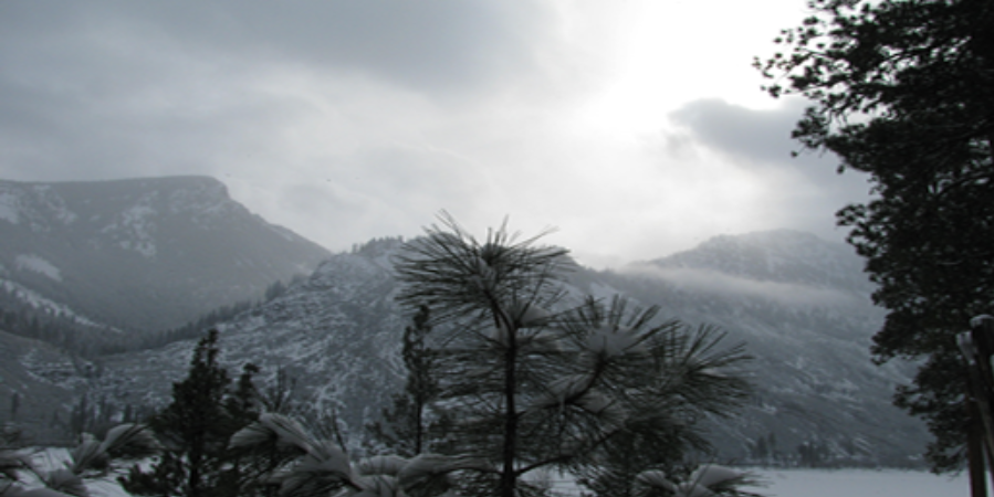
Gibbons Pass
Determined to find a better route over the Continental Divide, Lewis and Clark temporarily parted ways so that Clark could explore the Yellowstone River. With Sacagawea as a travel companion, it proved beneficial when they reached what we now know to be Gibbons Pass, as Sacagawea helped Clark navigate through the continental divide.
The National Park Service is currently attempting to name Gibbons Pass a highly potential historical site for the Lewis and Clark National Historic Trail. Much of this historical designation has to do with the location’s tragically bittersweet history. Years after Lewis and Clark had completed their journey, a colonel by the name of John Gibbon led his forces against a band of the Nez Perce tribe in 1877 in an effort to forcibly remove them from their ancestral lands. Heavy casualties were dealt on both sides in what we call today the Battle of the Big Hole. Ultimately it was those heavy casualties that led the Nez Perce to finally withdraw.
Today, visitors can access Gibbons Pass by passing by the Sula Ranger Station. Activities are limited to nature viewing and interpretative signs along a trail for light hiking. Whether you’re there to pay your respects to history or to simply take in the splendor, Gibbons Pass is a must-see along the Lewis and Clark National Historic Trail.


Distance Unit:
Distance Unit: