Page Feedback

Fort Owen State Park

Fort Owen State Park

Information

March 1 - October 31: 9 a.m. - 6 p.m. daily November 1 - February 28: Closed for the Winter
406-273-4253
Montana residents who pay the $9 state parks fee with their annual vehicle registration have no daily entrance fees to state parks. For nonresidents there is a $8 vehicle fee or $4 for walk-in, bicycle or bus passenger
Pets allowed
lat: 46.5197149 long: -114.0973582

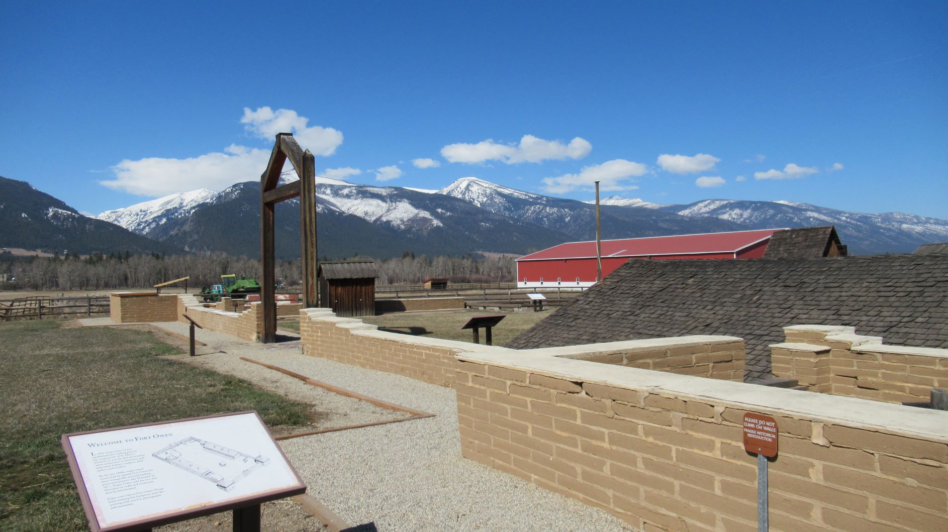
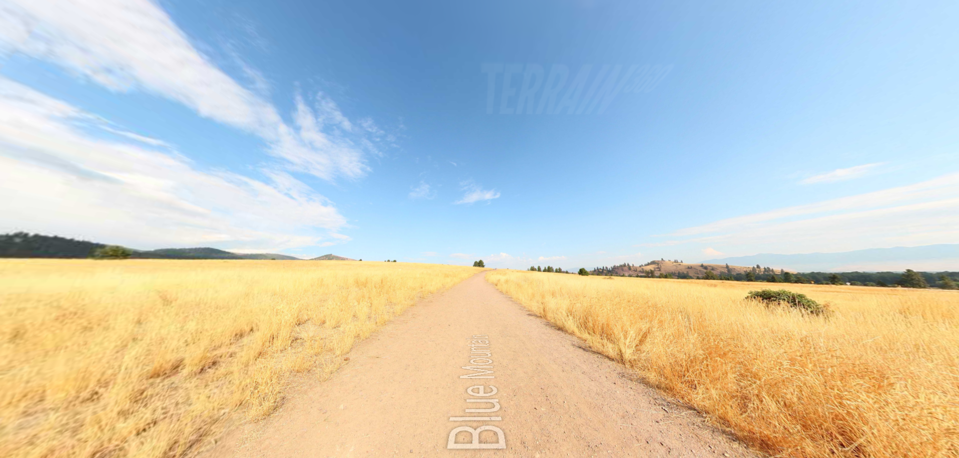
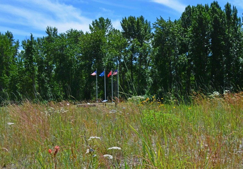
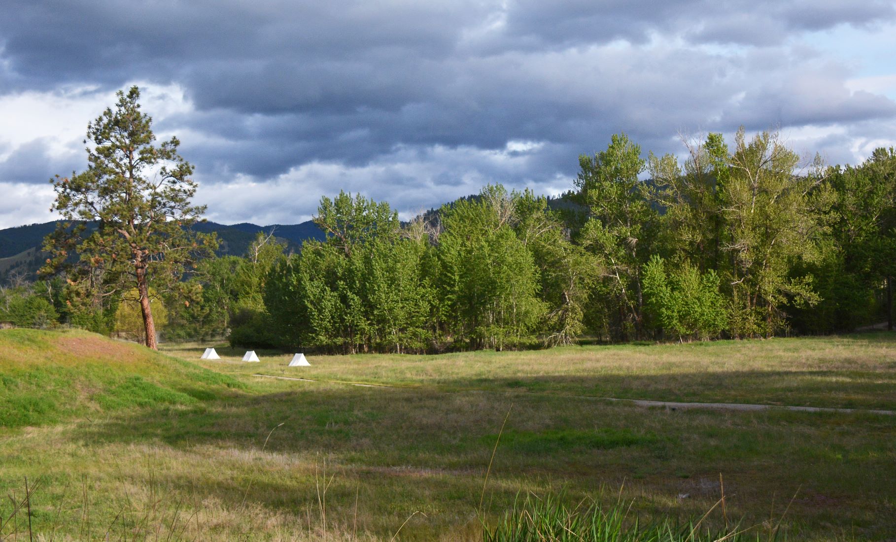
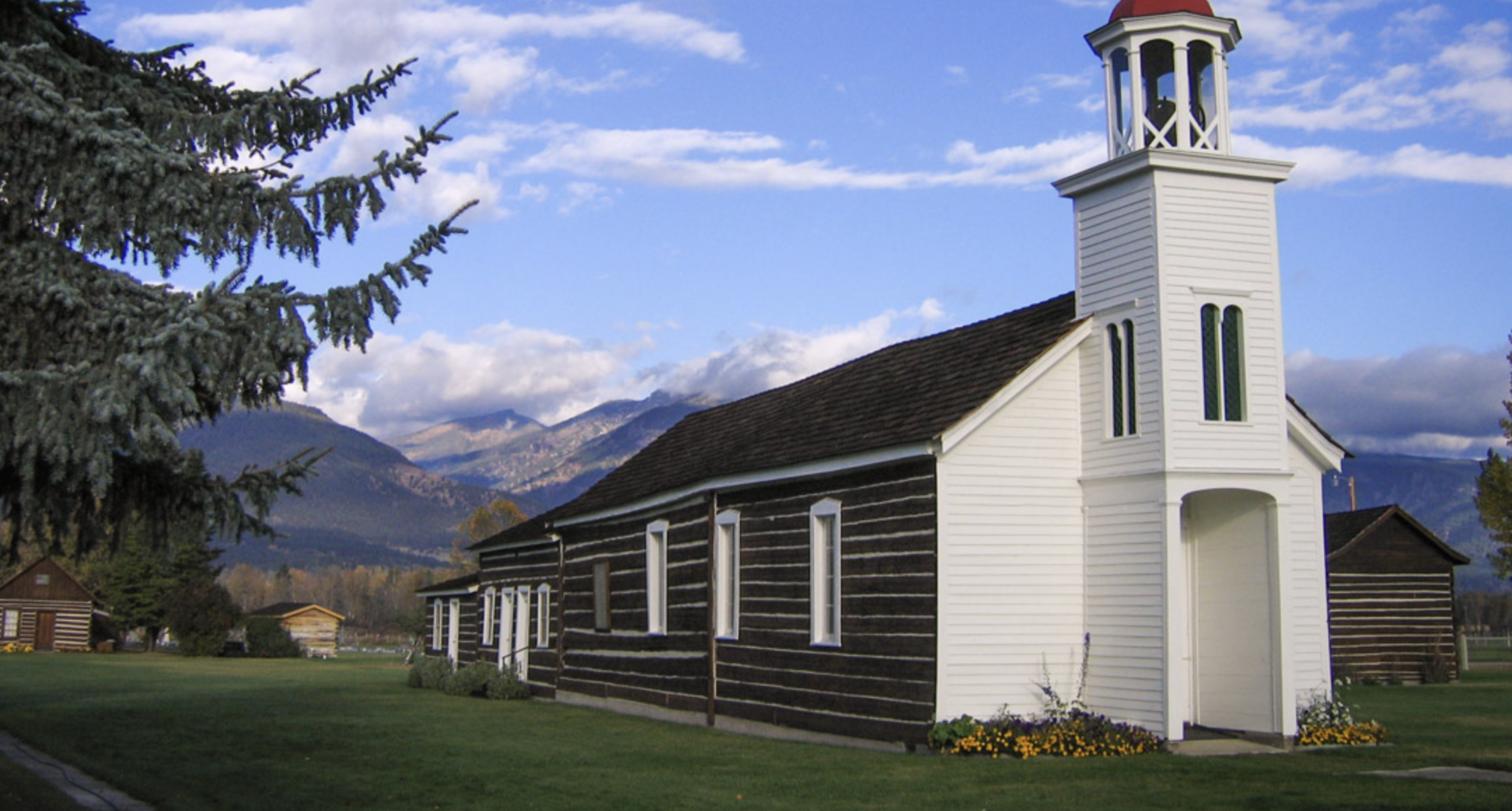
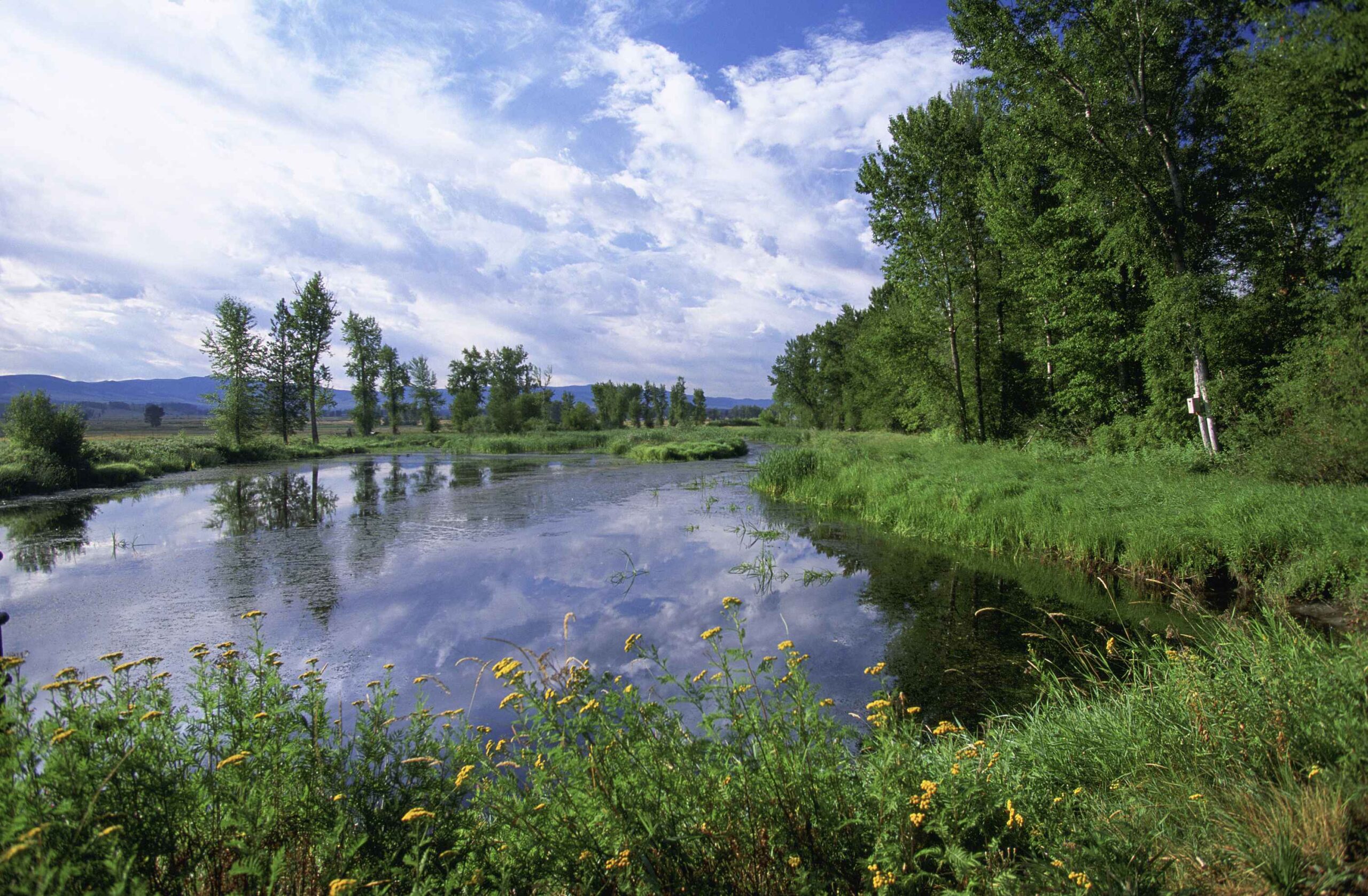
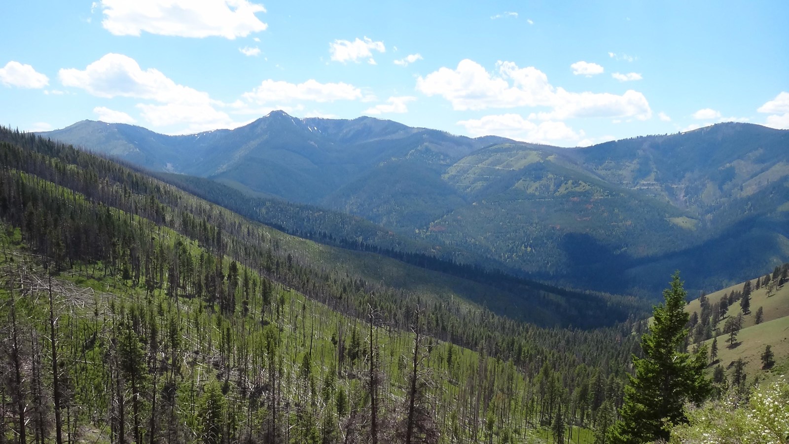
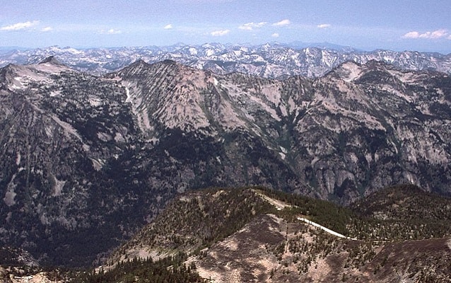
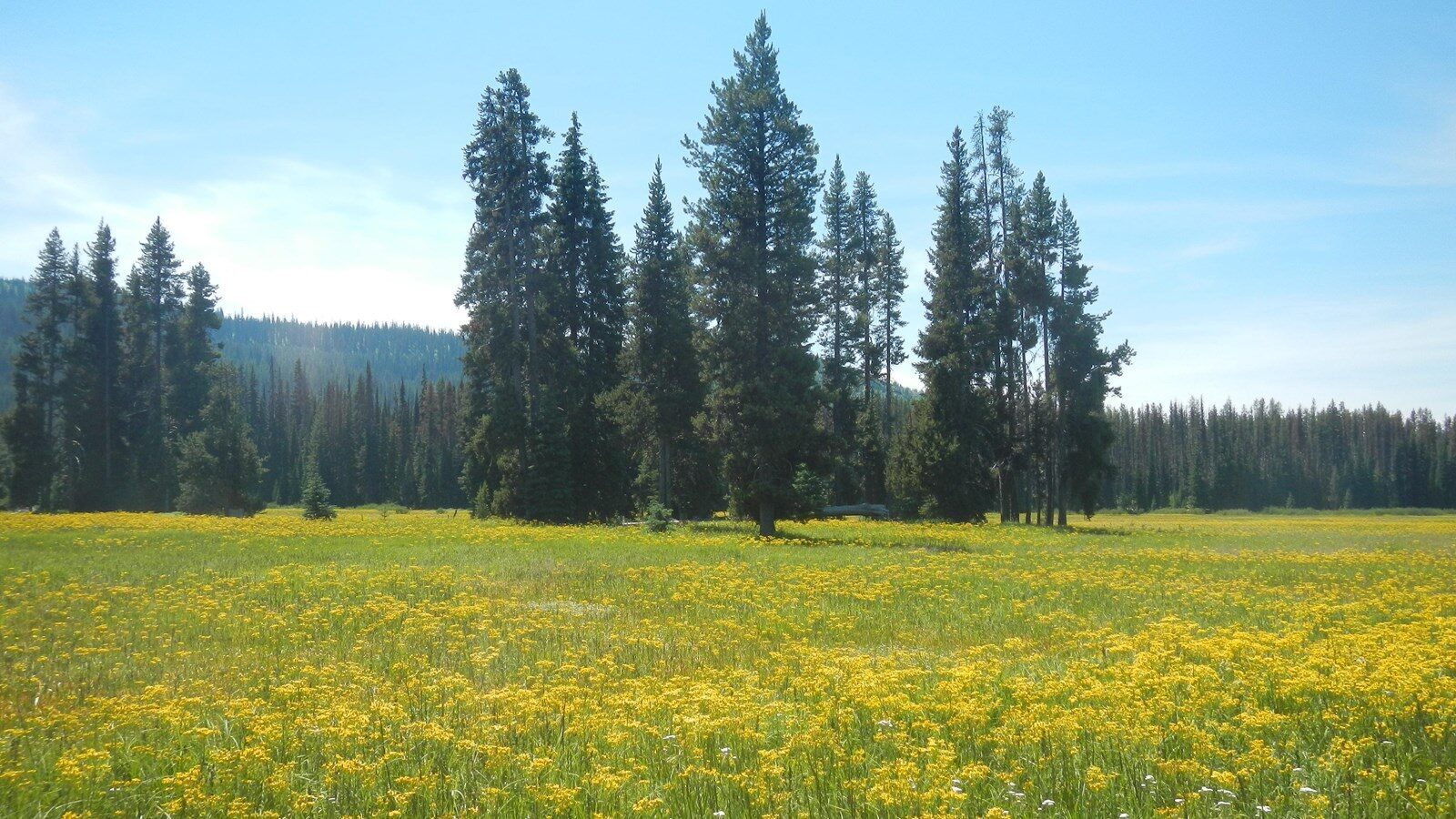
Fort Owen State Park provides the unique opportunity to stand on the edge of Montana history, where many “firsts” for the state were made. Some of these firsts include creating a safe place for indigenous cultures of the Bitterroot Valley to intertwine and communicate with settlers and missionaries. Fort Owen was also the site of Montana’s first permanent European settlement, and the state park commemorates many other “firsts” that took place in its backyard. The land surrounding the state park was home to the first sawmill, grist mill, agricultural development, water right, the first school, and the original site of Montana’s first Catholic church.  Fort Owen State Park sits in a small parcel of land in the middle of a privately-owned ranch and farm. Visitors to Fort Owen have the opportunity to contemplate the history and growth of the state of Montana, listen to the natural sounds of the area, and view the beautiful Bitterroot Mountains and surrounding valleys.

Activities

  • Cultural
  • Exhibit
  • Heritage
  • History
  • Photography
  • Picnicking

Amenities

Some amenities are seasonal. Check with the park for availability.

  • Interpretive Display
  • Pets Allowed
  • Pack-in/Pack-out
  • Toilets (Vault)Activities
    Cultural
    Exhibit
    Heritage
    History
    Photography
    Picnicking
    Amenities
    Some amenities are seasonal. Check with the park for availability.

Nearby Attractions

Distance Unit:

Nearby Trails

Distance Unit:

Morony Dam Trail

lat: 47.5816325 long: -111.0607994
Blackfoot River Beginning

lat: 46.9502198 long: -113.3787584
Blackfoot River

The Blackfoot River, sometimes called the Big Blackfoot River to distinguish it from the Little Blackfoot River, is a snow-fed and spring-fed river in western Montana.

lat: 46.9177068 long: -113.6781495
Lewis and Clark Pass

lat: 47.1427216 long: -112.4289137
Tower Rock Trail

lat: 47.188617 long: -111.8101938
Missouri River to Hauser Dam

lat: 46.7649385 long: -111.8858237
Beaver Creek to Hauser Lake

lat: 46.6822743 long: -111.8215701
Black Sandy Lake Access

lat: 46.7455285 long: -111.8866754
Decision Point

lat: 47.9249036 long: -110.4985534
Lewis and Clark Highway

lat: 44.97475 long: -113.44537
South Shore Trail

lat: 47.534344 long: -111.2047707
Eagle Creek to Hole in the Wall

lat: 47.8317525 long: -110.074063
Send Feedback

Instagram Feed