Historic St. Mary’s Mission
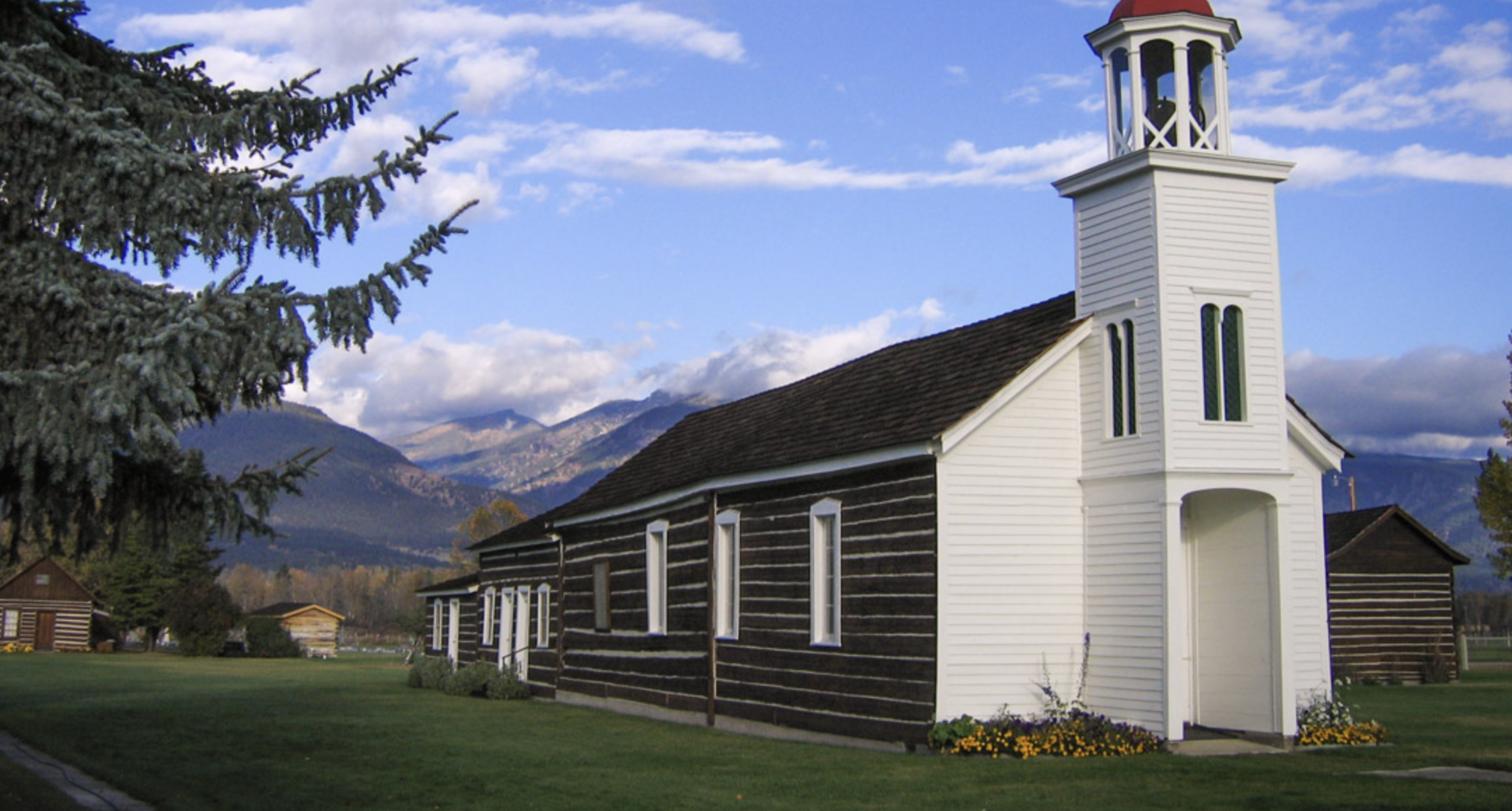
St. Mary’s Mission was the first white settlement in Montana, which eventually grew into the town of Stevensville. Today, these buildings are preserved to give visitors insights into the early days of the settlement of the West.
After being introduced to Christianity by Iroquois trappers in the early 1800s, the Salish and Nez Perce sent multiple delegations to St. Louis throughout the 1830s in hopes of convincing missionaries to come to the Bitterroot Valley. In 1841, Father Pierre Jean DeSmet established St. Mary’s on the east bank of the Bitterroot River. It became a place where Indian culture and Christianity would blend.
Today, Historic St. Mary’s Mission is home to restored buildings, museums, and artifacts which reflect on the history of the site and the Salish people. The St. Mary’s Mission Historic District was added to the National Register of Historic Places in 2010. Group and individual guided tours are available.
Distance Unit:
Distance Unit:
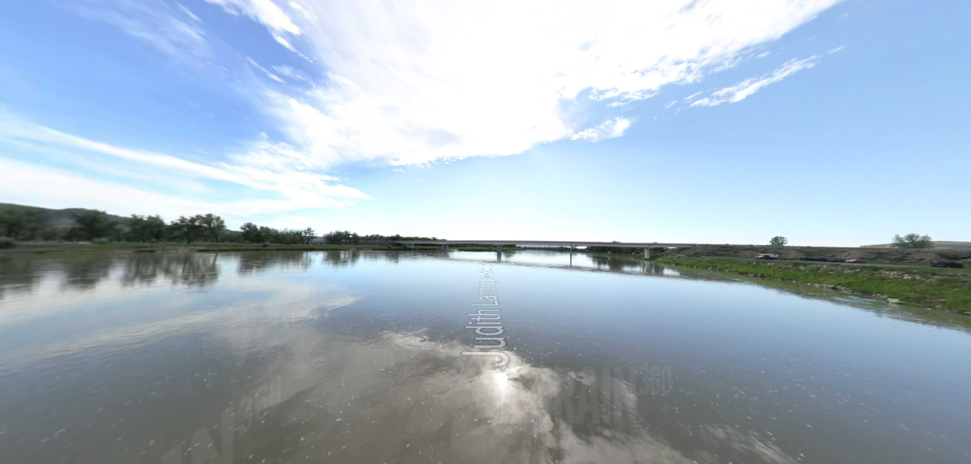


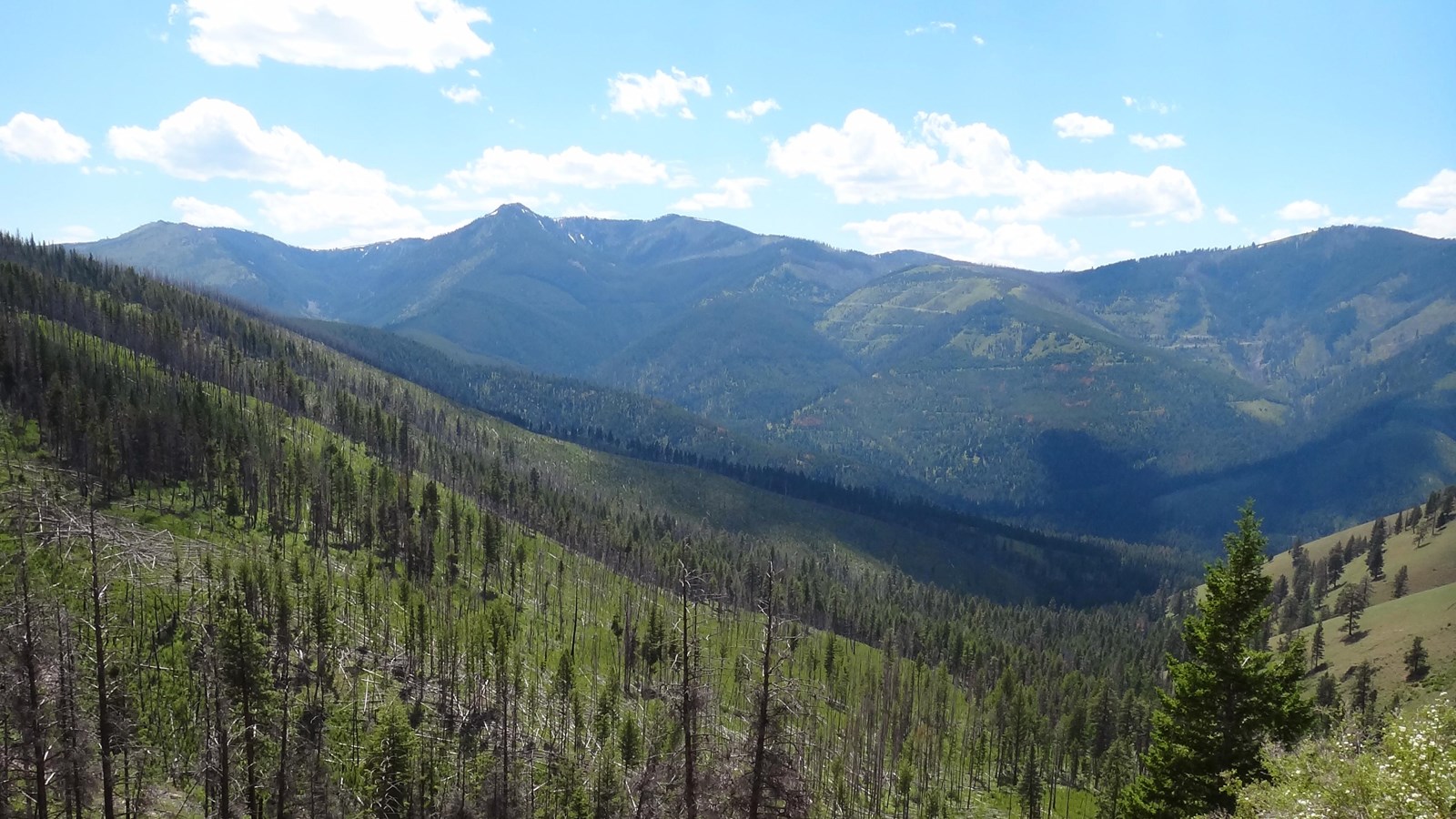
The Blackfoot River, sometimes called the Big Blackfoot River to distinguish it from the Little Blackfoot River, is a snow-fed and spring-fed river in western Montana.