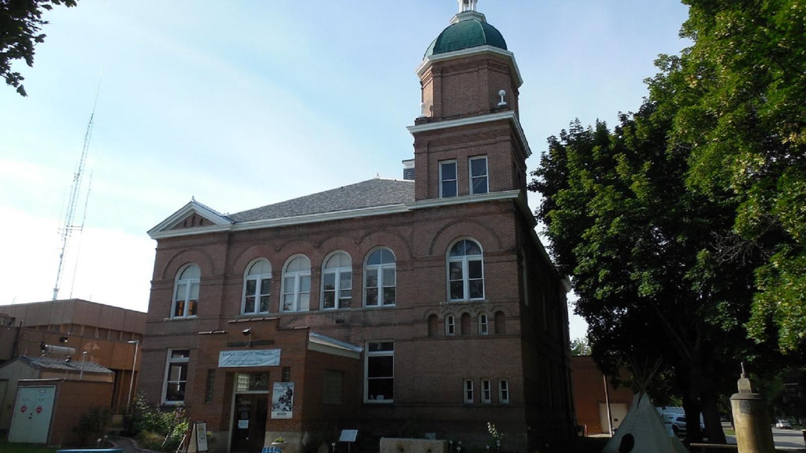
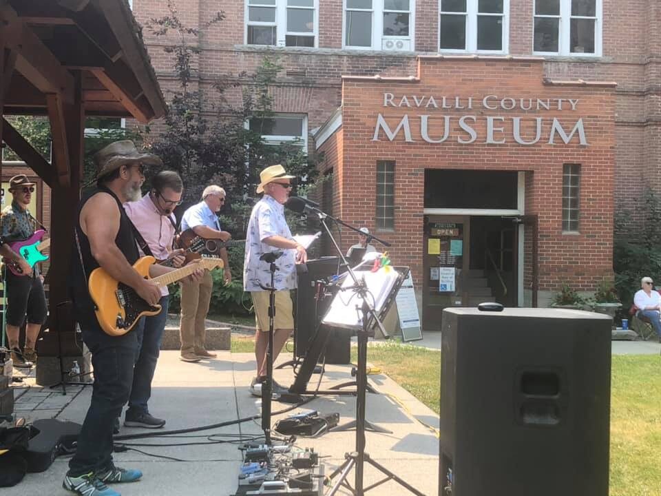
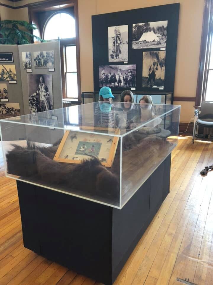
Ravalli County Museum
Distance Unit:
Distance Unit:

The Blackfoot River, sometimes called the Big Blackfoot River to distinguish it from the Little Blackfoot River, is a snow-fed and spring-fed river in western Montana.


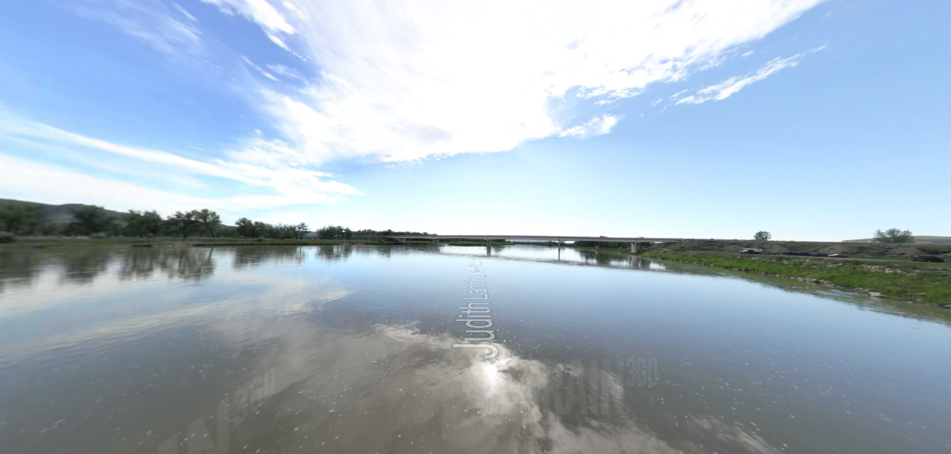


A trail starting at Hauser Dam and overlooking the Missouri River.