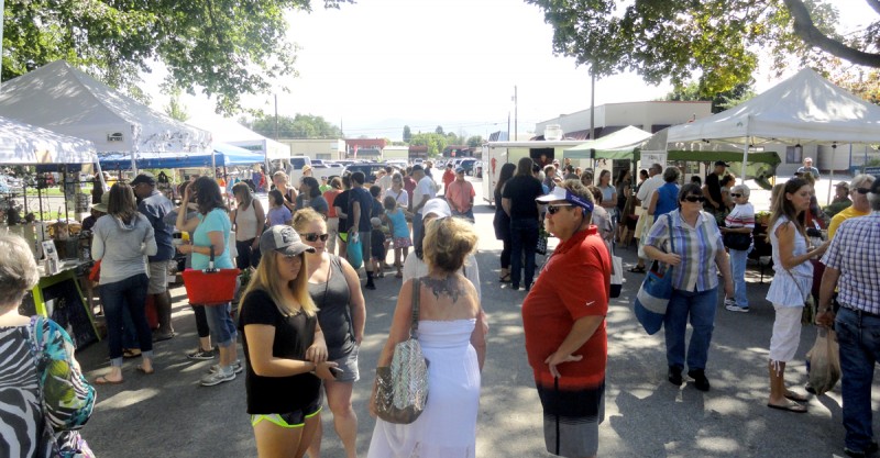
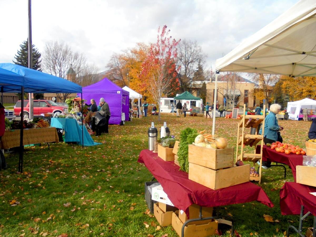
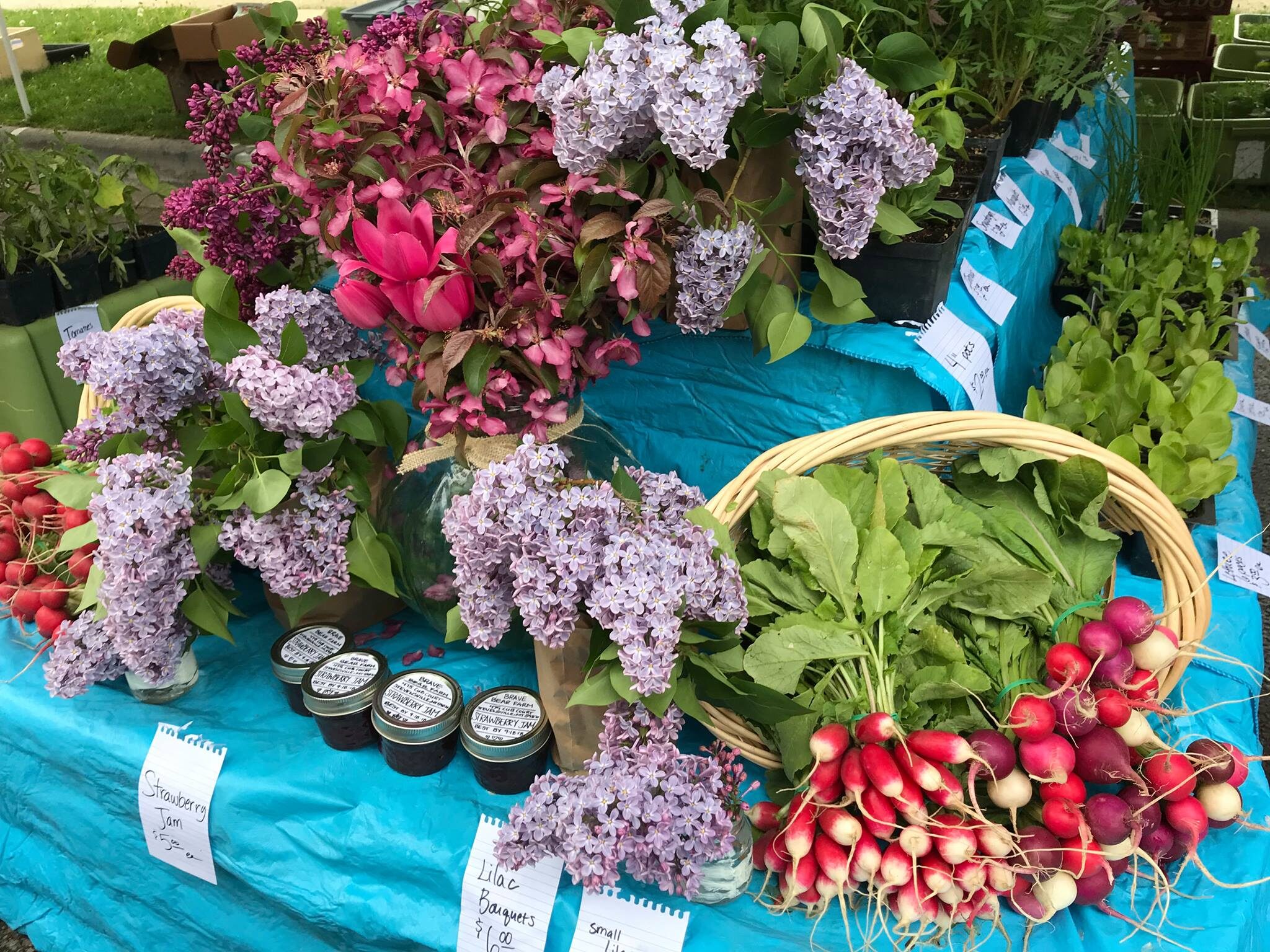
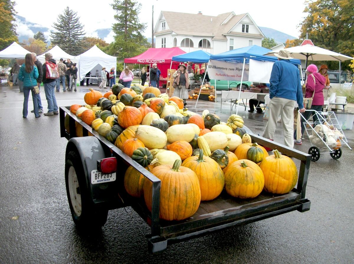
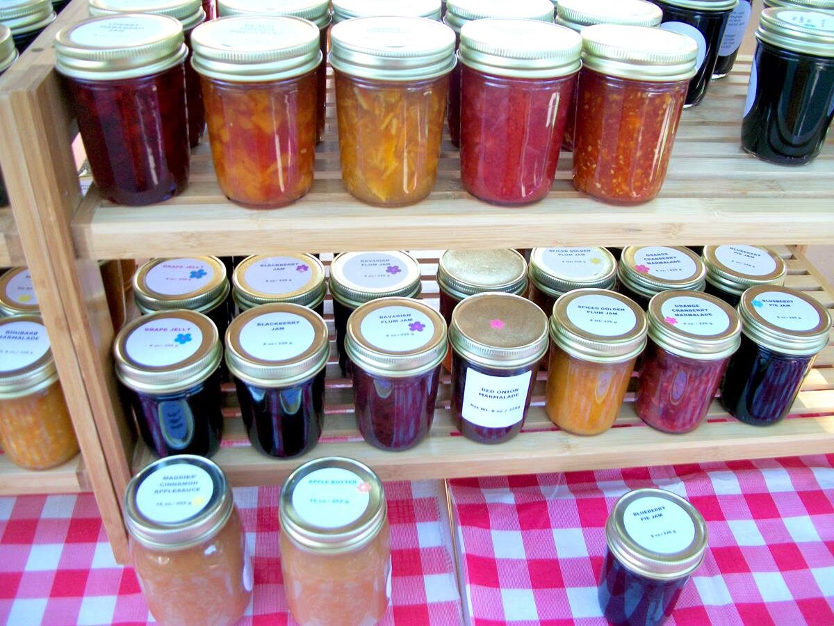
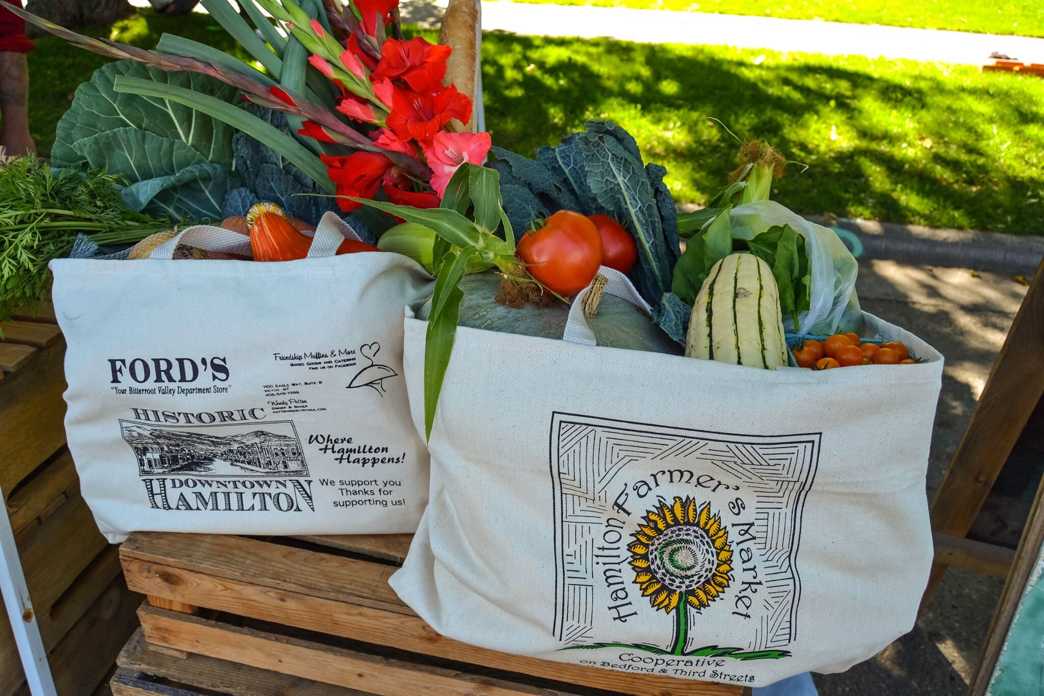
Hamilton Farmers Market Co-op: Keepin’ It Real!

Arts and Culture
Events
Family Fun
Food and Drink
Shopping and Leisure
205, Bedford Street
Hamilton
Montana
59840