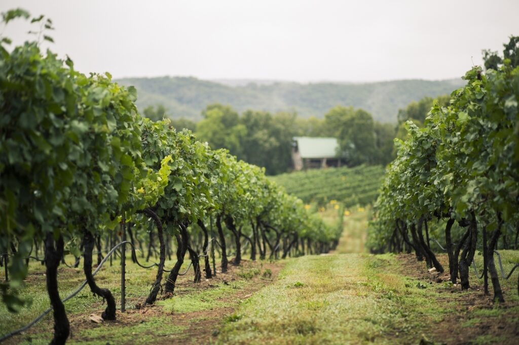
Chaumette Vineyards and Winery
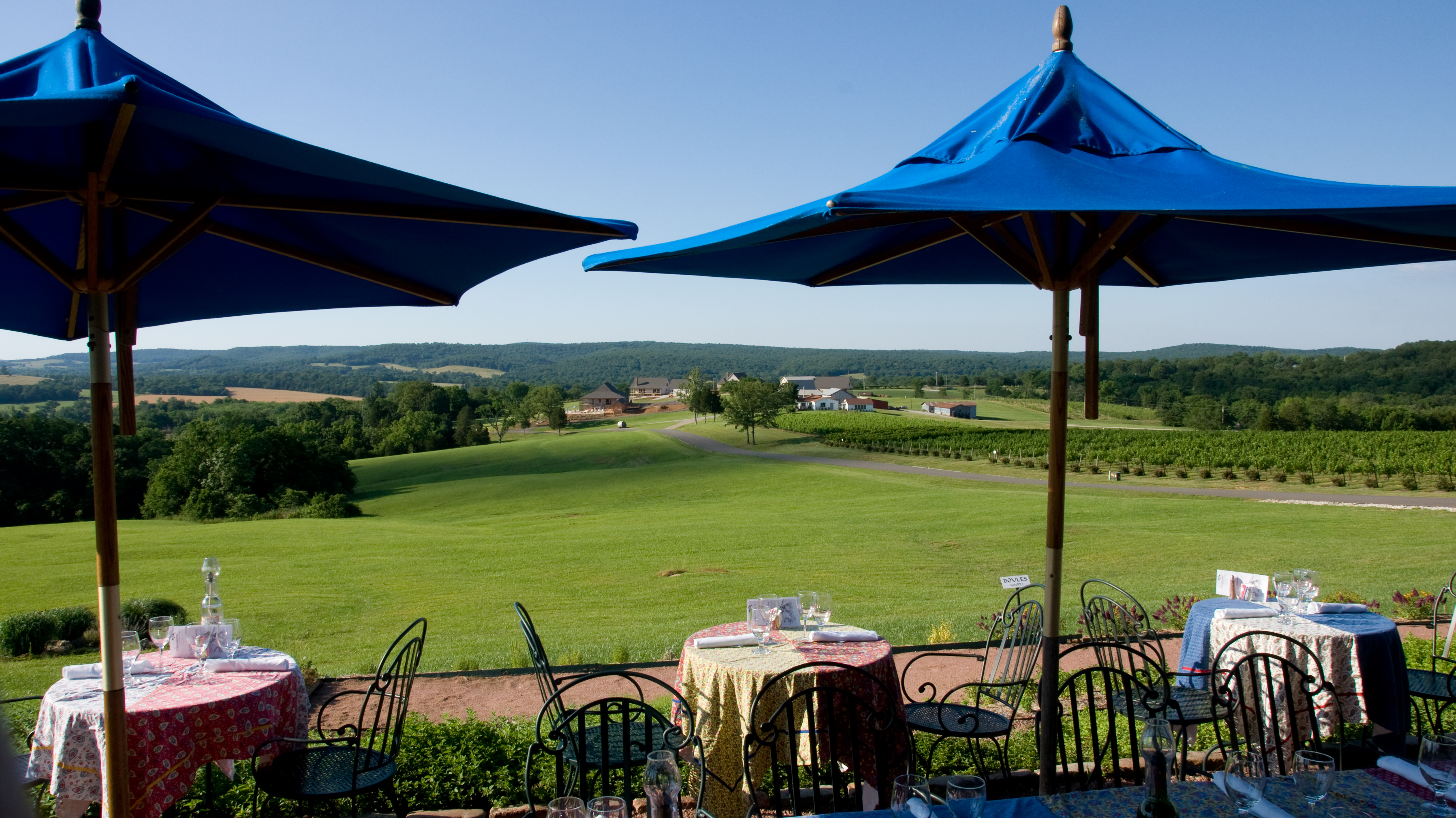
Established in 1990 by Hank and Jackie Johnson, Chaumette is one of the Midwest’s premier wineries, offering a unique and memorable experience for every guest. Their award winning wines may be experienced in the eloquent tasting room that houses the winery’s own Grapevine Grill. A gift shop and art gallery, along with live music in the warm months, is just a sampling of your total wine country experience at Chaumette. The facilities are available for weddings, parties, family gatherings, corporate & private events. Also, the all faith chapel, St. Vincent’s-in-the-Vineyard, is available for reservation for private ceremonies.
The Grapevine Grill was ranked as one of the top winery restaurants in the nation, thanks to its locally sourced, fresh ingredients and Executive Chef Rob Beasley’s mastery of the culinary arts. On top of the extensive menu, there are weekly features that highlight the freshest farm-to-fork ingredients. Cajun Nights on Thursdays offer an exquisite salad and seasonal Cajun-Creole-Southwest style entrée. On Fridays enjoy some of the freshest fish in Missouri, courtesy of the Honolulu Fish Company. Sit on the porch during fair weather and indulge in one of our fine wines paired with a hearty meal as you soak in the sweeping vistas of the vineyard. Reservations are not required, by highly recommended.
If you’d like to stay with us, we’ve recently expanded our villas. Rent a rustic, French-colonial style villa so you can truly enjoy your weekend getaway.
Distance Unit:
Distance Unit:


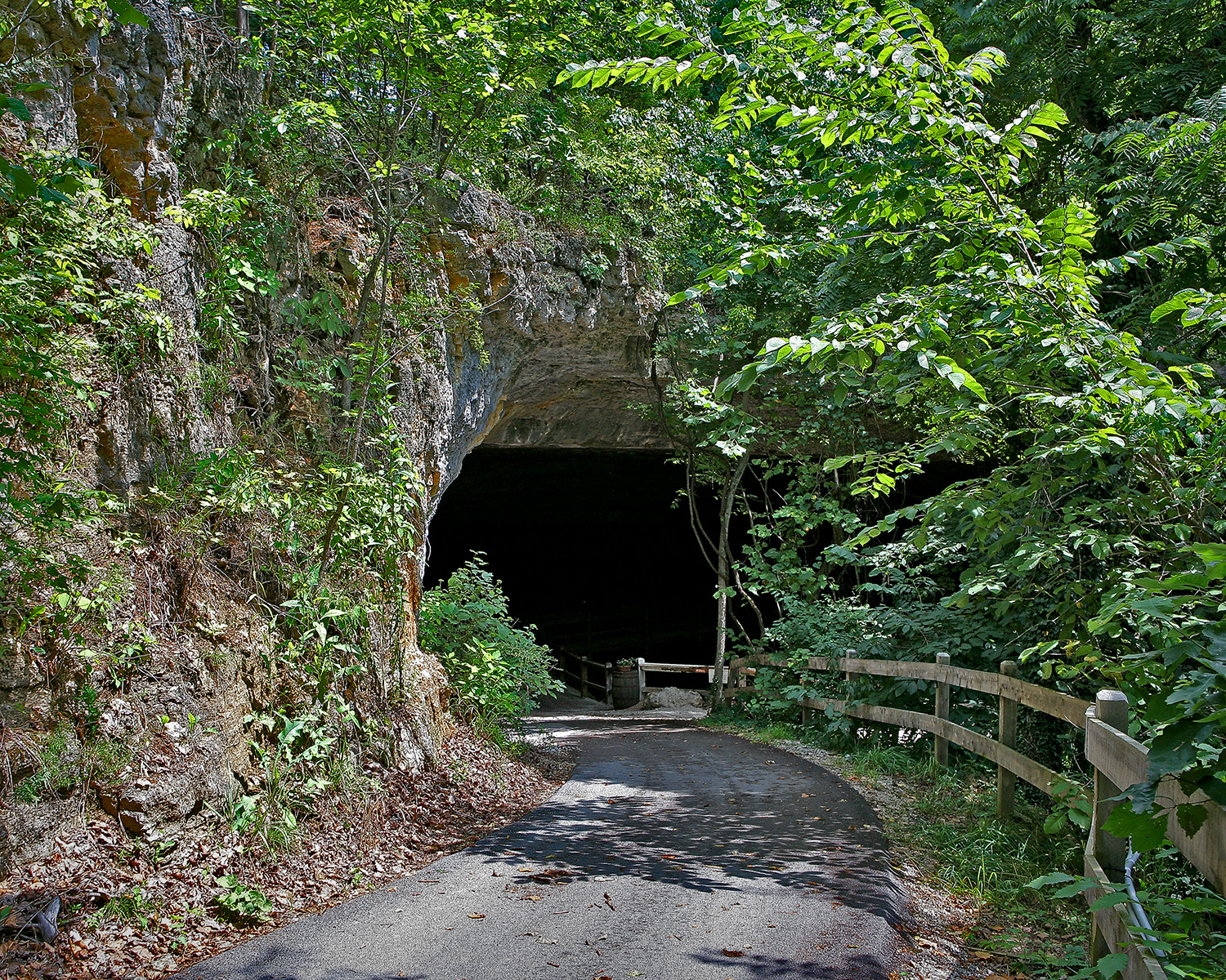
The path taken by Chief John Ross on his way to Cairo. (https://www.hmdb.org/m.asp?m=161480)


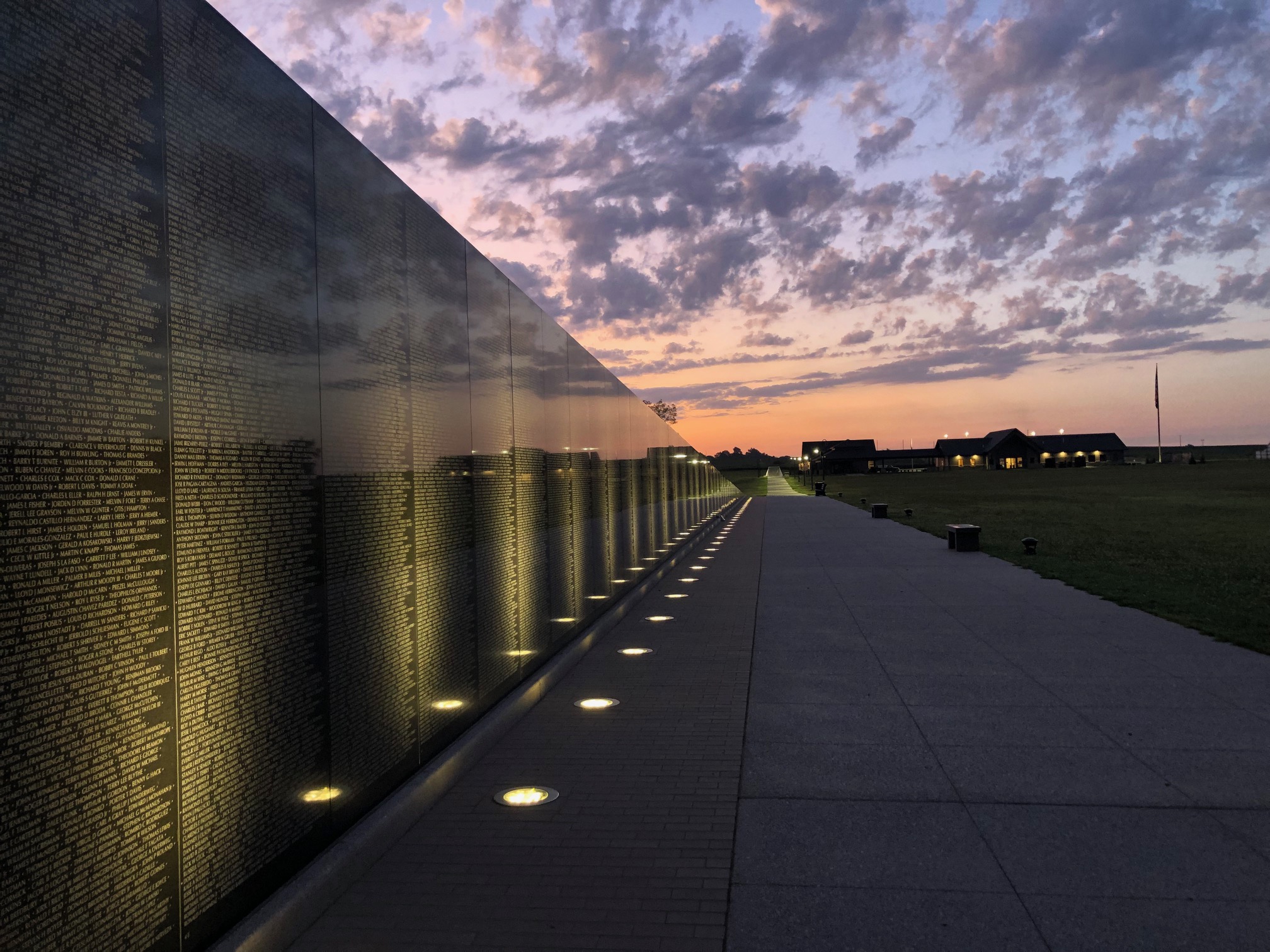
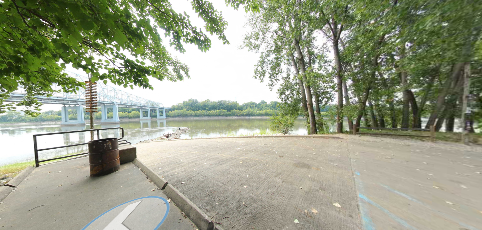
Here, nine Cherokee Indian groups braved harsh winter conditions while crossing the Mississippi River in 1838-1839, marking a sorrowful chapter in American history. The park also has: shaded picnic sites, hiking and horse trails, opportunities to fish…