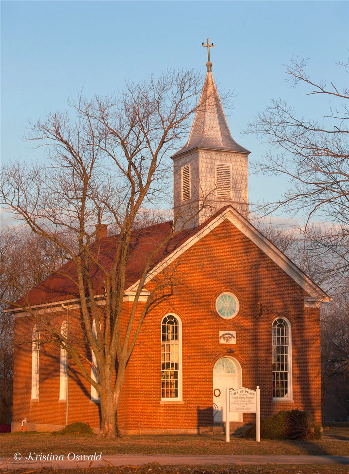
Hill of Peace
In 1844 the congregation of German families organized as Peace Evangelical Lutheran Church. In 1846 the small group built a log cabin church on the north side of Cinque Homme Creek. As you drive by today, you can see a peaceful valley of crops with a large metal building with a green roof in the distance. You can just imagine, 170 years ago a log cabin church sitting on the bank of Cinque Hommes Creek somewhere on the far edge of that field.
Soon it was necessary to build a larger log cabin church and in 1852 they moved to the Frankenberg Hill, building a parsonage and a school across the road. Peace Lutheran Cemetery is still located at this site and is maintained by an endowment to Immanuel Lutheran Church of Perryville, Missouri.
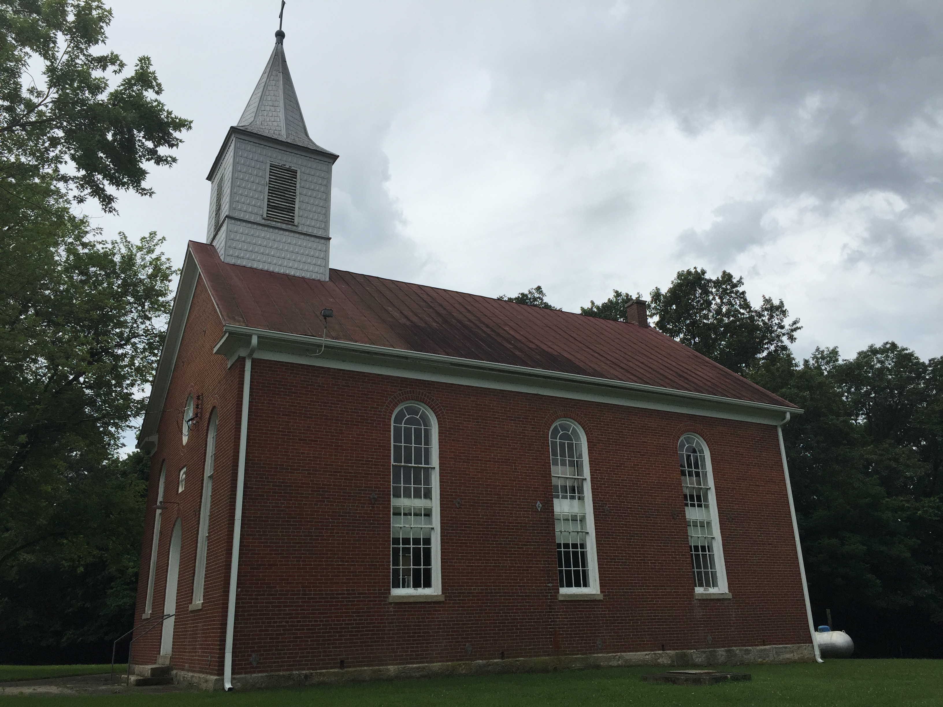
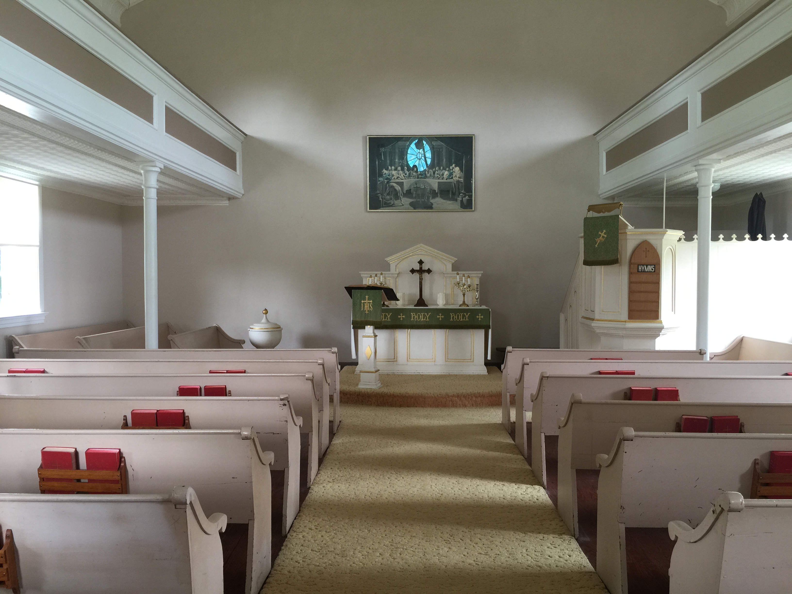
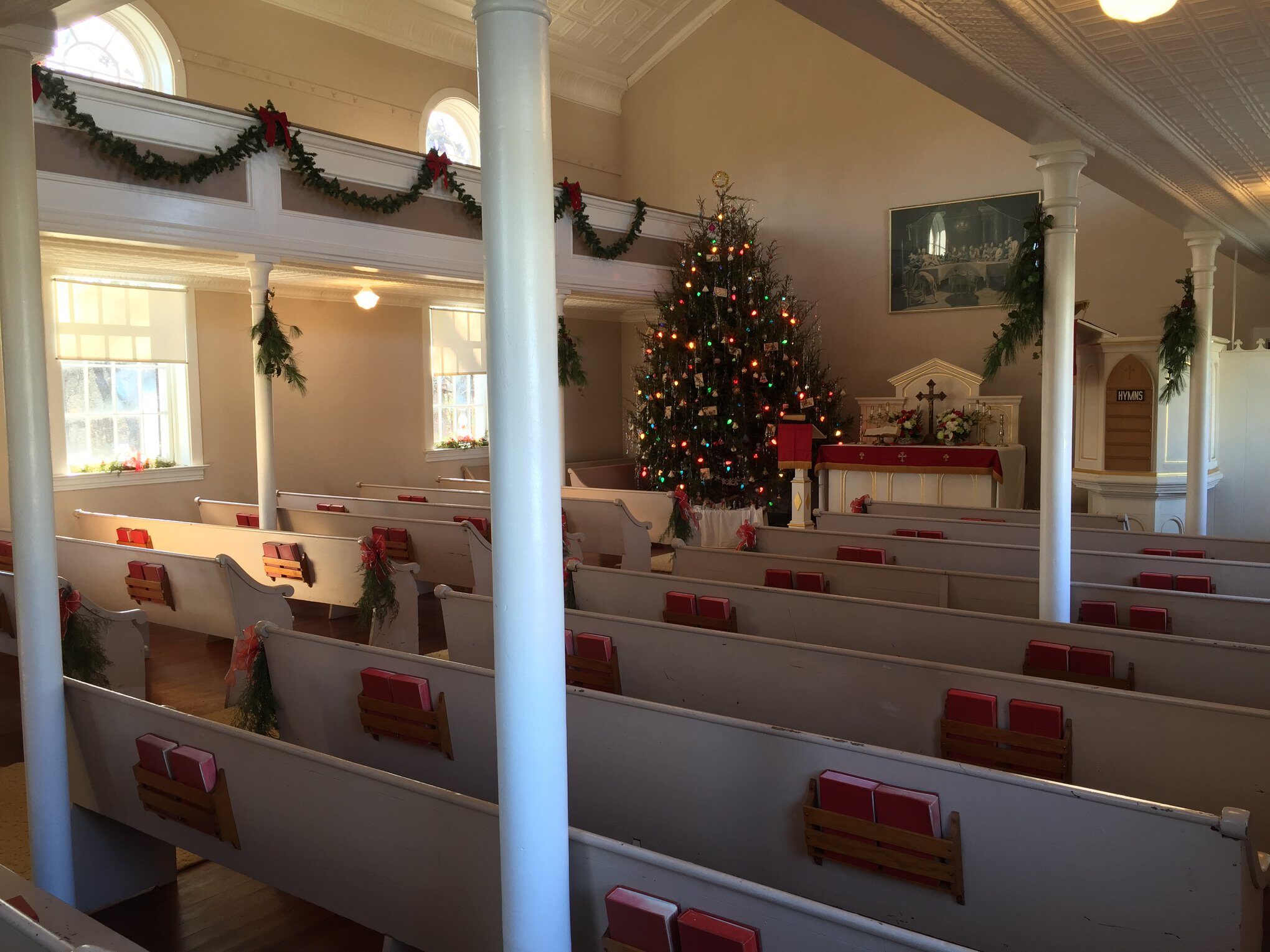
In 1885, the congregation moved from the Frankenberg Hill, to Friedenberg and built the present simple, red-brick worship facility overlooking the quiet Missouri countryside. The new church was dedicated debt-free on 27 September 1885. This church served the congregation for the next 95 years!
Additionally, school was taught in this red brick school house across the street from the church for over 70 years until 1946. After 1946, the school was used for Saturday school where religion was taught, for dart games and Sunday School. The names and initials of school children can still be seen etched into the soft brick.
When Peace Congregation voted to disband in 1980, they asked Concordia Historical Institute to take over the property in order to preserve their buildings as a reminder of the heritage of the Lutheran Church. The Institute continues to own, operate and support “Hill of Peace” as a “walk-in history book” that vividly demonstrates the change in the life of the rural church that was so important in previous eras.
The facilities, the people, and the “peace” still live on in Friedenberg through the continued efforts of the Friedenberg Historical Society 501(c)(3). The small group of members continue to maintain the church and grounds for generations to enjoy for years to come.

Distance Unit:
Distance Unit:


The path taken by Chief John Ross on his way to Cairo. (https://www.hmdb.org/m.asp?m=161480)

Here, nine Cherokee Indian groups braved harsh winter conditions while crossing the Mississippi River in 1838-1839, marking a sorrowful chapter in American history. The park also has: shaded picnic sites, hiking and horse trails, opportunities to fish…

A boat ramp to the beautiful Missouri River with a peaceful view of the river.


A boat ramp that allows visitors to access the Trail of Tears