Page Feedback

Missouri’s National Veterans Memorial

Missouri’s National Veterans Memorial

Information

Wall and grounds open 24/7 Welcome Center and Museum open daily 11AM - 3PM (Closed Easter Sunday)
573-547-2035
Donations Appreciated
lat: 37.7563591 long: -89.8766632

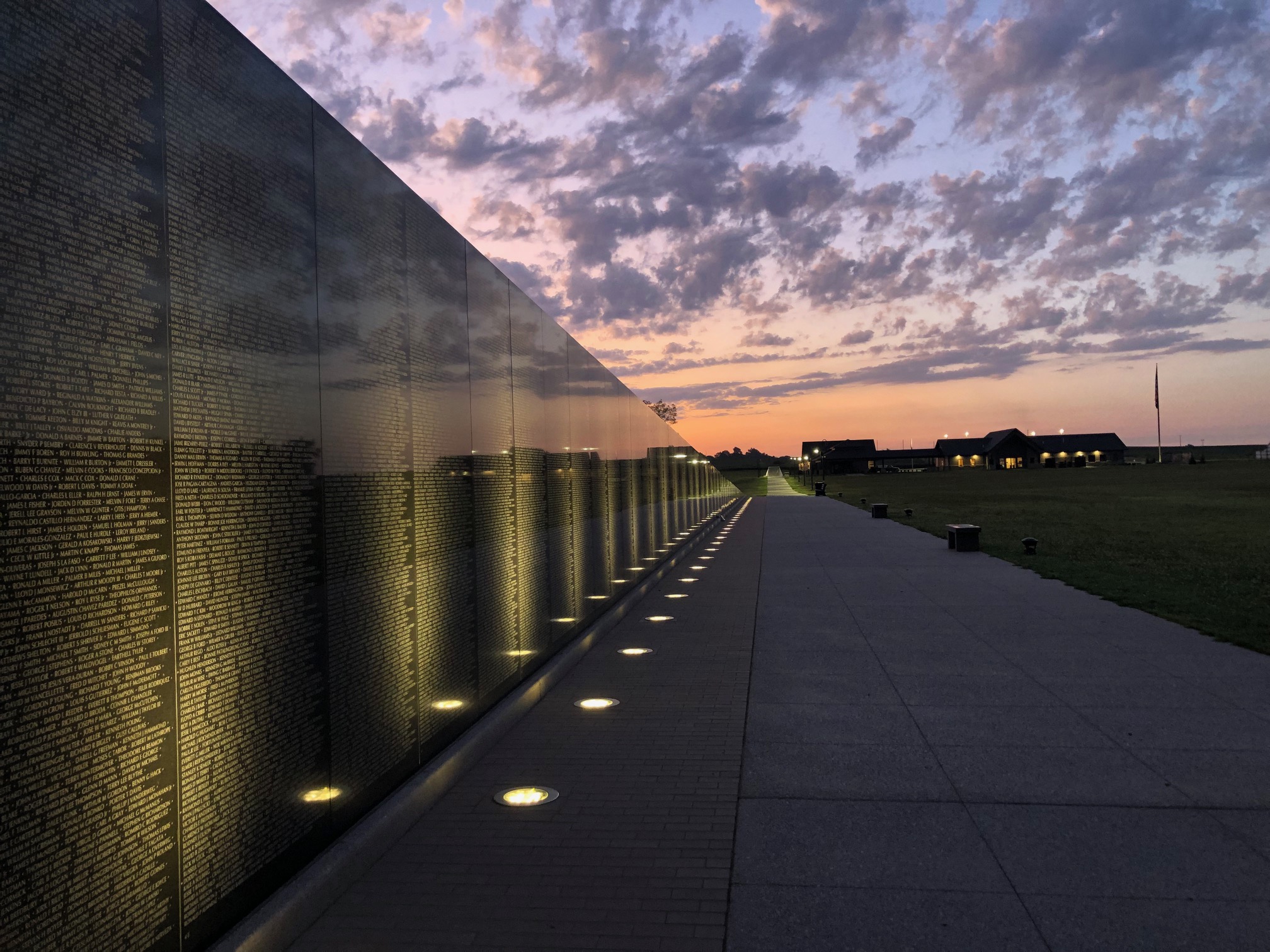
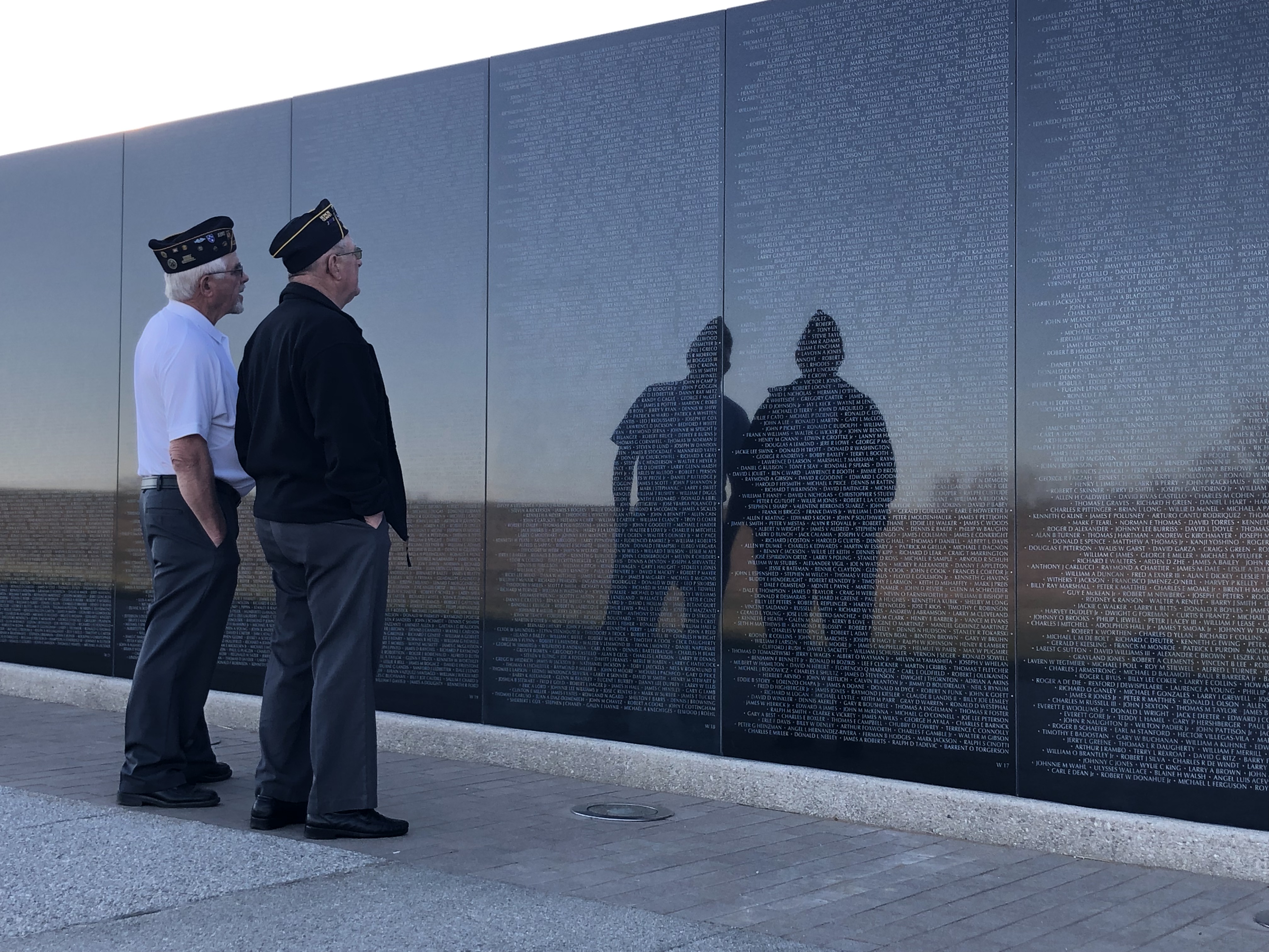
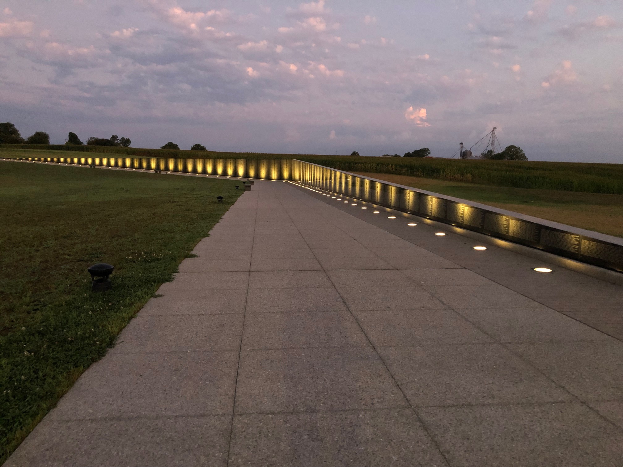
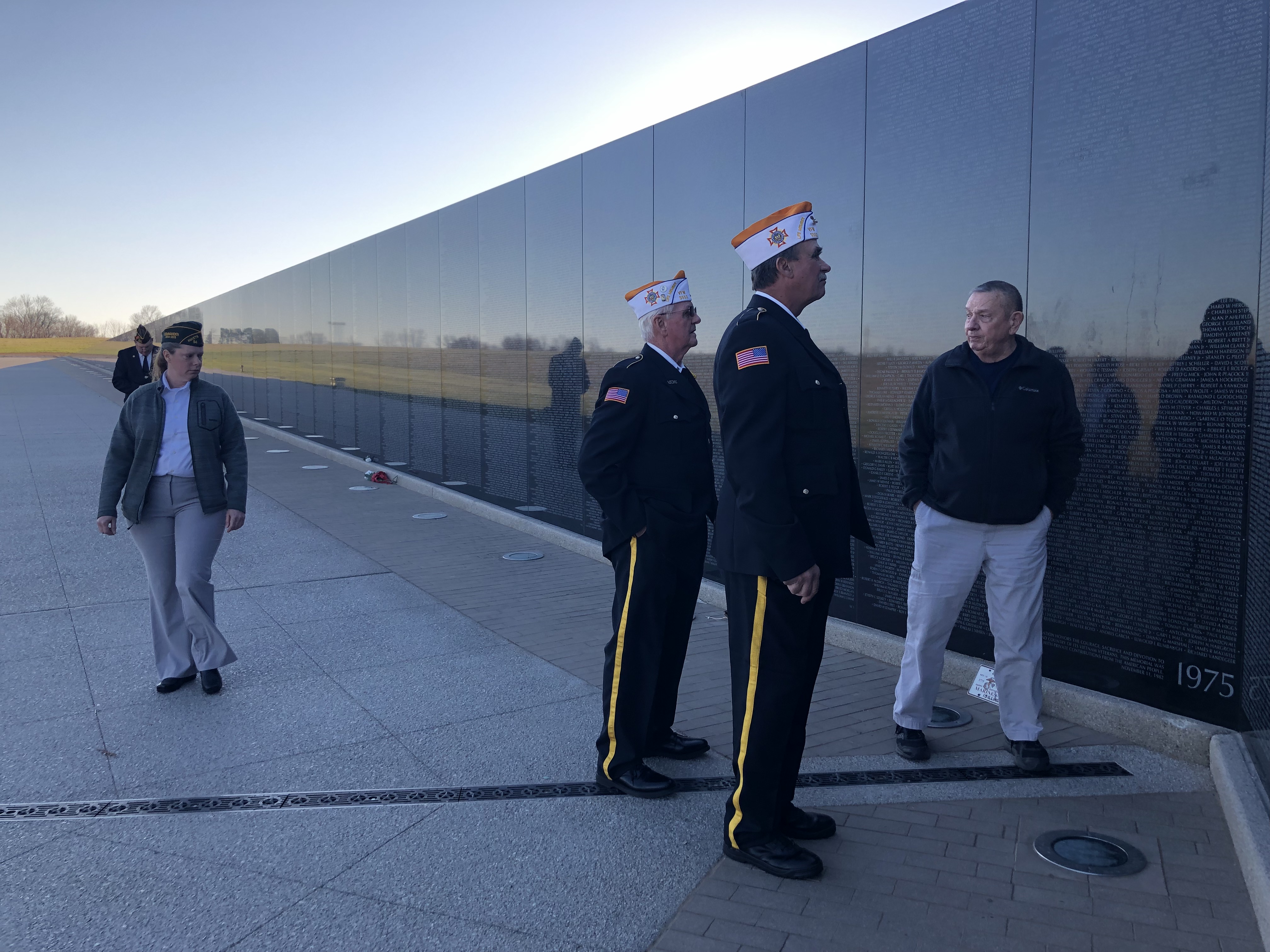
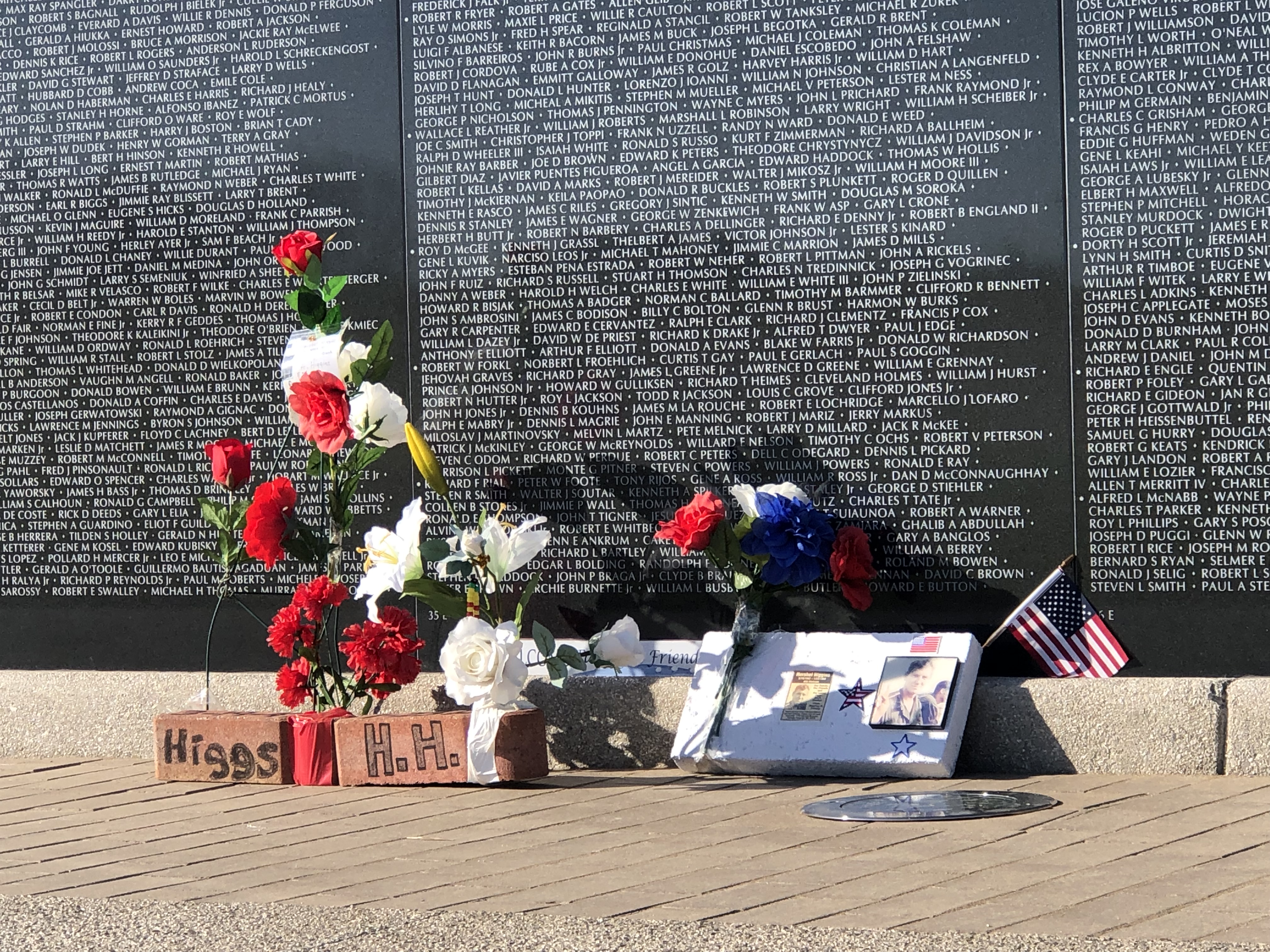
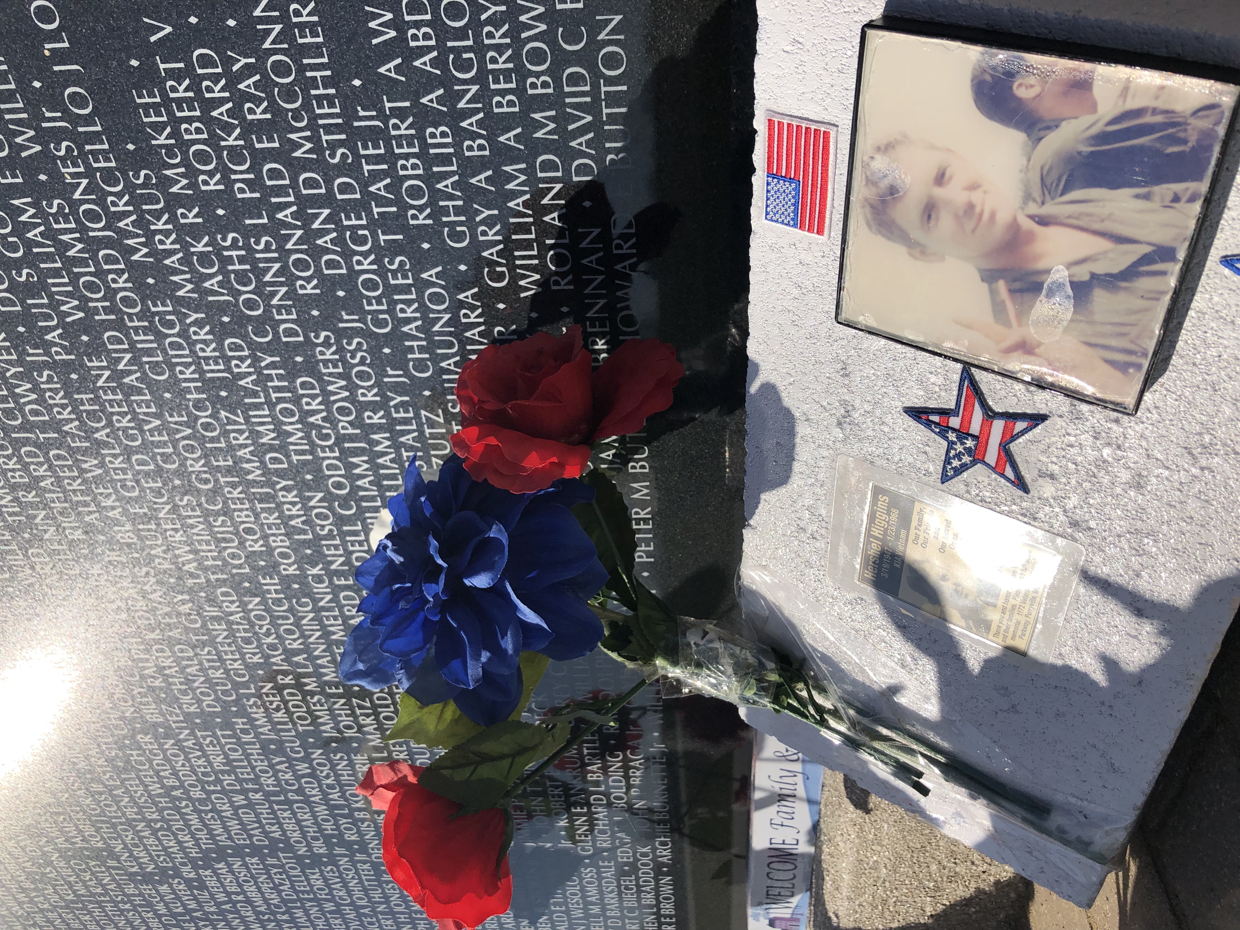
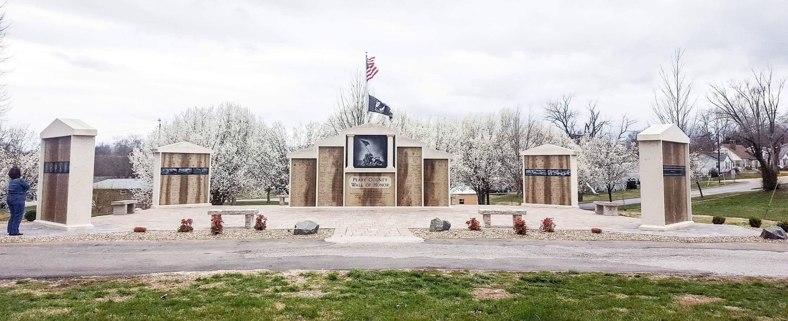
The Vietnam Veterans Memorial is a tribute to the dead and missing soldiers of the United States’ longest and most unpopular war. Perryville, Missouri, building begins on the only full-sized, black granite wall replica.

One of our founding members and largest donors, Jim Eddleman, fought valiantly in the Tet Offensive during the Vietnam conflict. He carried several – severely wounded – to the medevac helicopter. Jim told himself in 1968, that if he survived, he would one day do something to honor his comrades and others who’ve served this country. Over the years, he experienced financial success and is now finally able to fulfill the pledge he made in Vietnam.
After talking with friends and fellow veterans, he decided that Missouri’s National Veterans Memorial would be his way of providing a lasting tribute to America’s veterans.

In addition to his significant contribution to the memorial, as well as donating 46 acres of land that has been in his family for three generations, Jim hopes his story will be an inspiration for others to not just support the memorial, but honor those who have served.

Nearby Attractions

Distance Unit:

Nearby Trails

Distance Unit:

Trail of Tears Access

A boat ramp that allows visitors to access the Trail of Tears

lat: 37.4539977 long: -89.4625079
Francis Quadrangle

lat: 38.94607 long: -92.32836
Klondike Park River Access

lat: 38.5840552 long: -90.8200764
Red House Path

lat: 37.3008461 long: -89.5186713
Trail of Tears Overlook

A breathtaking viewpoint overlooking the Trail of Tears State Park. Car access is available

lat: 37.4490937 long: -89.4764524
Katy Trail Trailhead

lat: 38.9776 long: -92.56147
Trail of Tears to Cairo

The path taken by Chief John Ross on his way to Cairo. (https://www.hmdb.org/m.asp?m=161480)

lat: 37.45684 long: -89.46319
Miami to Big Muddy

lat: 39.32615 long: -93.22803
New Haven Public Access

lat: 38.61434 long: -91.21069
The Gateway Arch

lat: 38.6254157 long: -90.1881888
Arrow Rock

lat: 39.0685825 long: -92.9457706
Bean Lake Natural Area

lat: 39.49763 long: -95.02227
Send Feedback

Instagram Feed