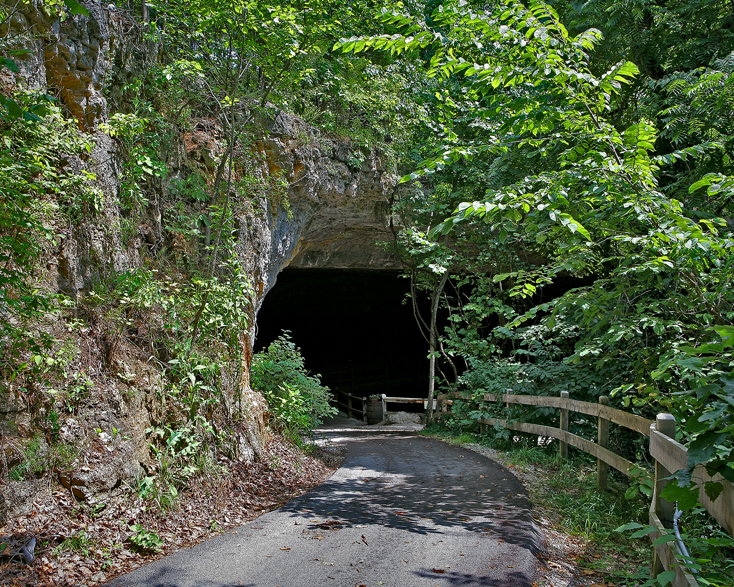
First Day Hike at Hawn
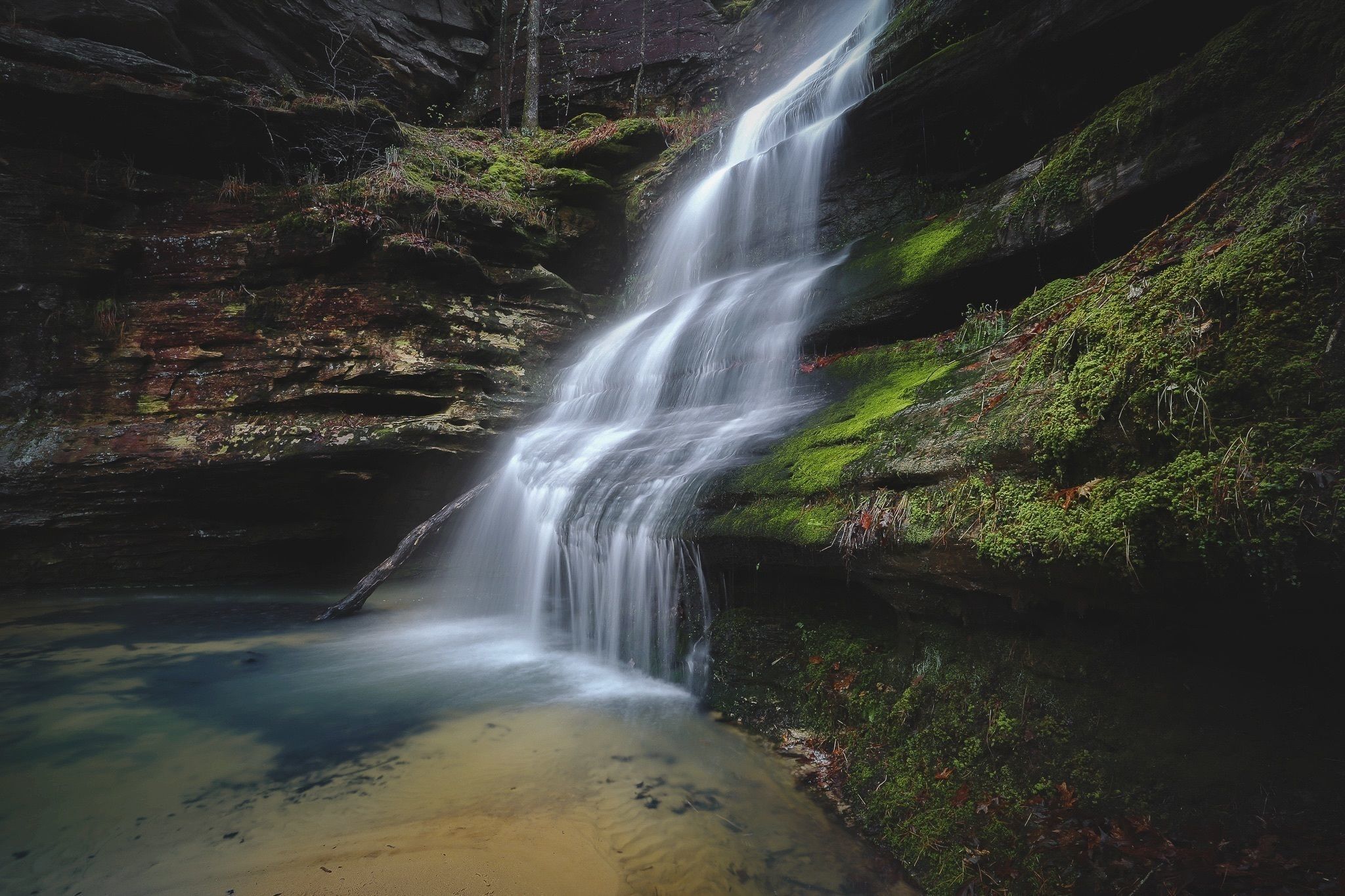
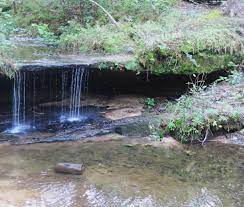
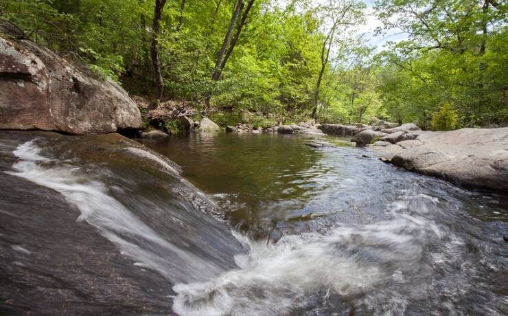
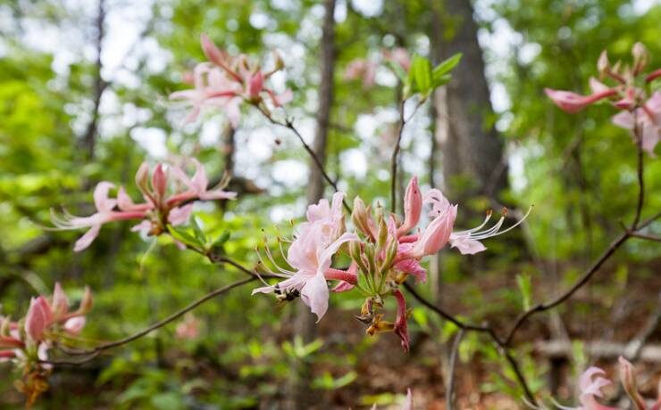
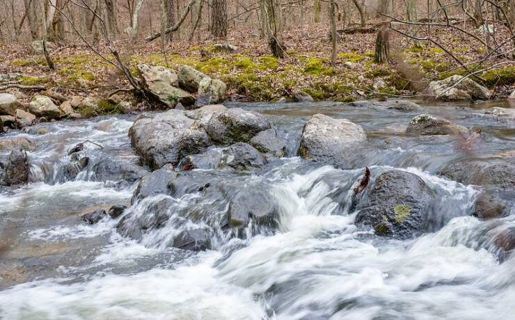
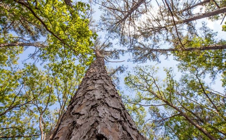
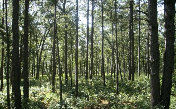
Celebrate a healthy start to the New Year by taking a guided hike at one of Missouri’s favorite and most scenic state parks, encompassing over 4,900 acres in Ste. Genevieve County. Enjoy the crisp winter air as you traverse hills of stately pine and oak trees, rocky streams with waterfalls, sandstone canyons, and cliffs. Maybe even spot some winter wildlife, icy frost flowers, and a variety of woodland birds! This naturalist lead hike will begin at the Whispering Pines trailhead in Hawn State Park.
First Day Hike at Hawn is a moderately strenuous, 2 hour hike through hardwood and short-leafed pine forest.
January 1, 1:00-3:00PM annually
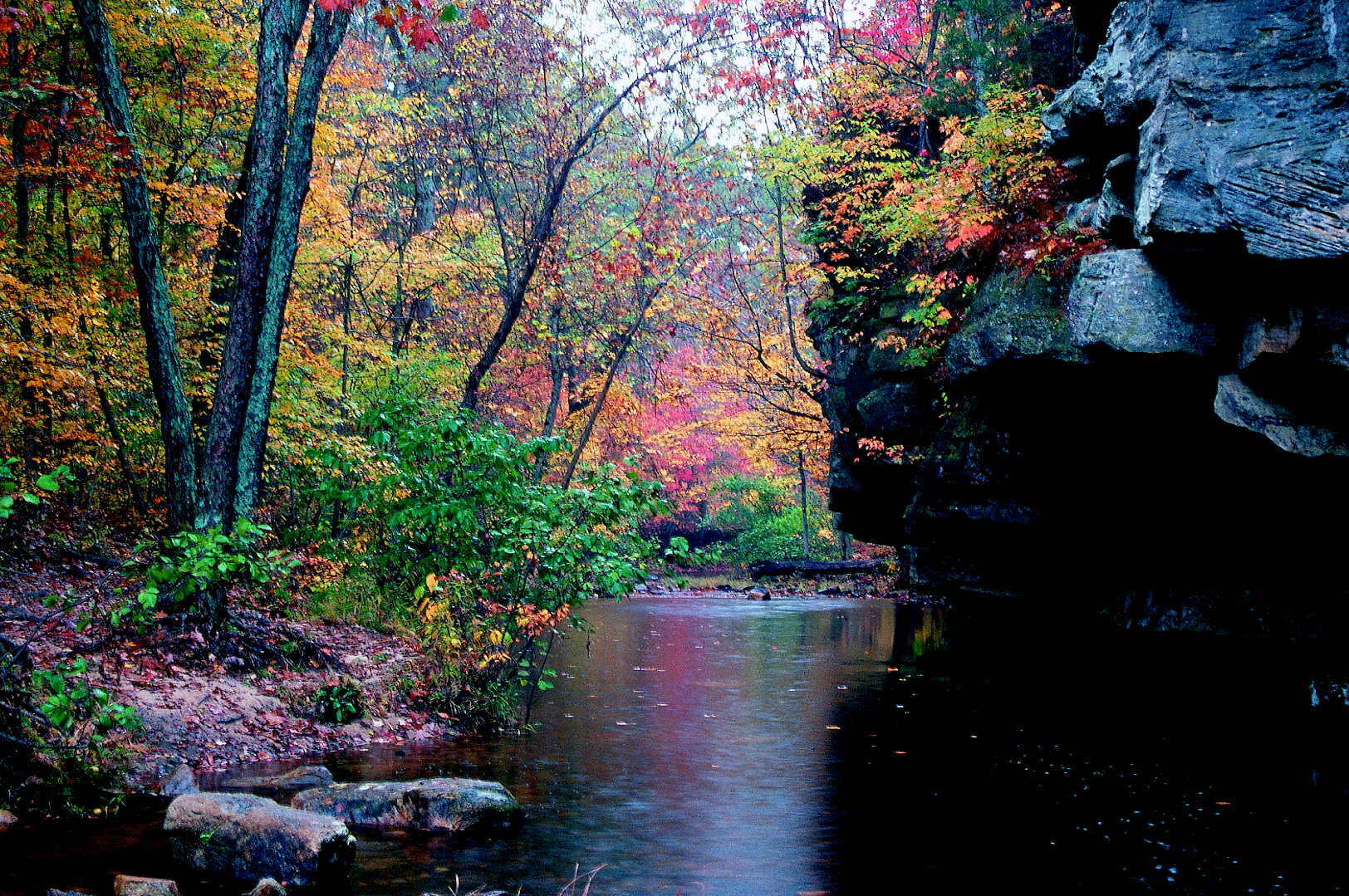
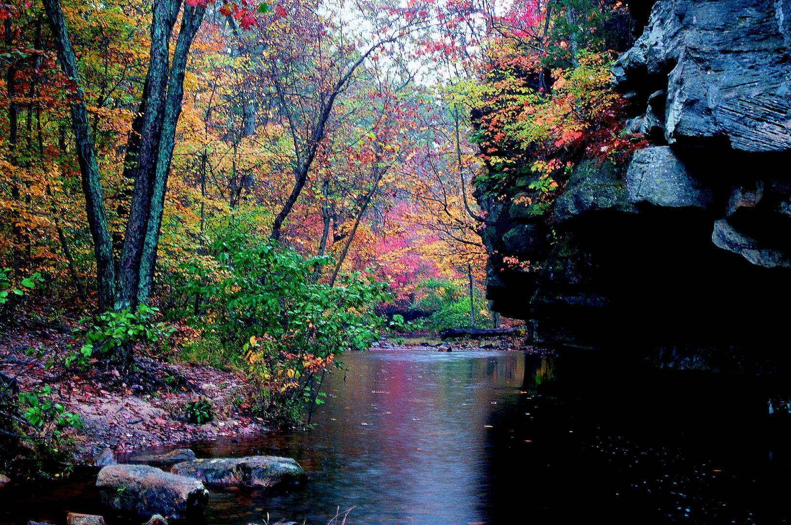
While this particular event is once a year, the park is open year-round. There are amazing trials, scenic viewing areas, and plenty of birdwatching. Visitors can also camp on the grounds.
Distance Unit:
Distance Unit:


The path taken by Chief John Ross on his way to Cairo. (https://www.hmdb.org/m.asp?m=161480)

A breathtaking viewpoint overlooking the Trail of Tears State Park. Car access is available

Explore the Trail of Tears State Park to delve into a somber chapter in American history. Here, nine Cherokee Indian groups crossed the harsh winter Mississippi River in 1838-1839 during their forced relocation to Oklahoma.…