Blue Mountain Recreation Area
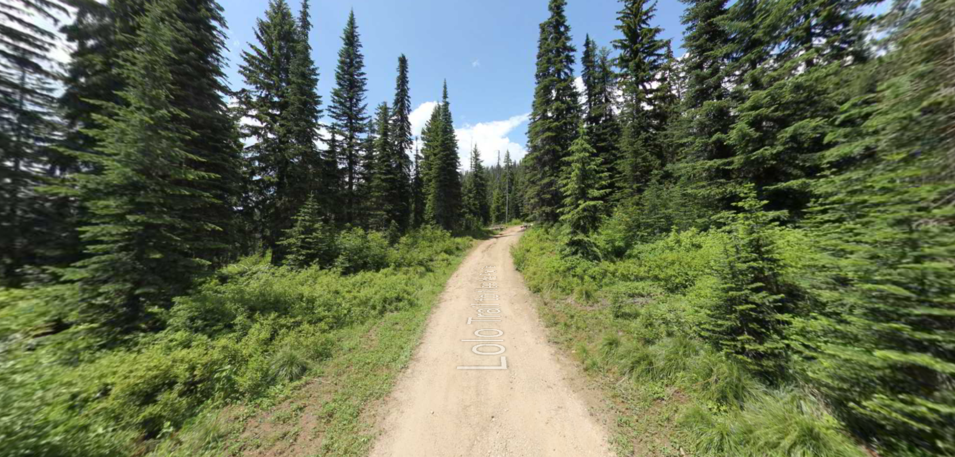
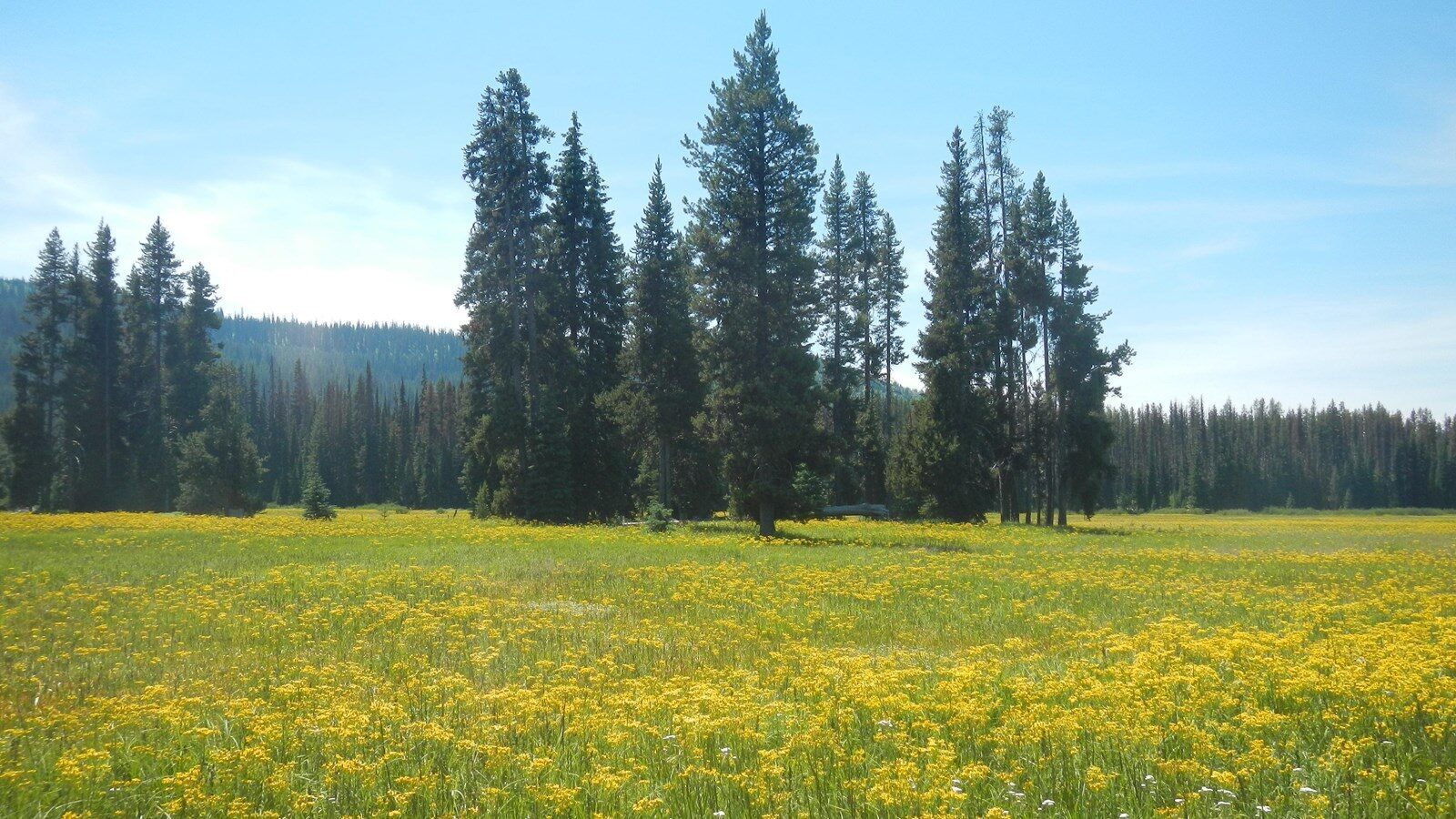
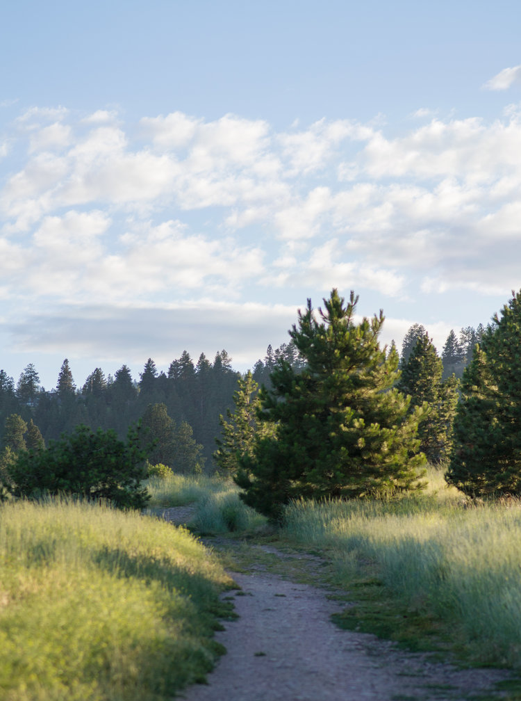
Exploring the Blue Mountain Recreation Area can be done in multiple different ways. This 4,900-acre area includes a trail network that expands 41-miles!
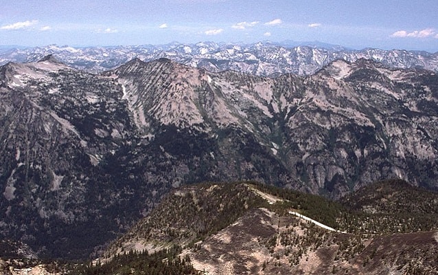
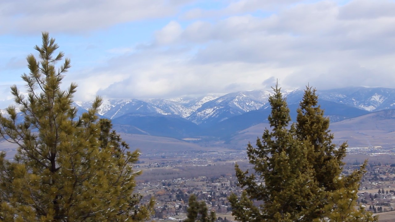
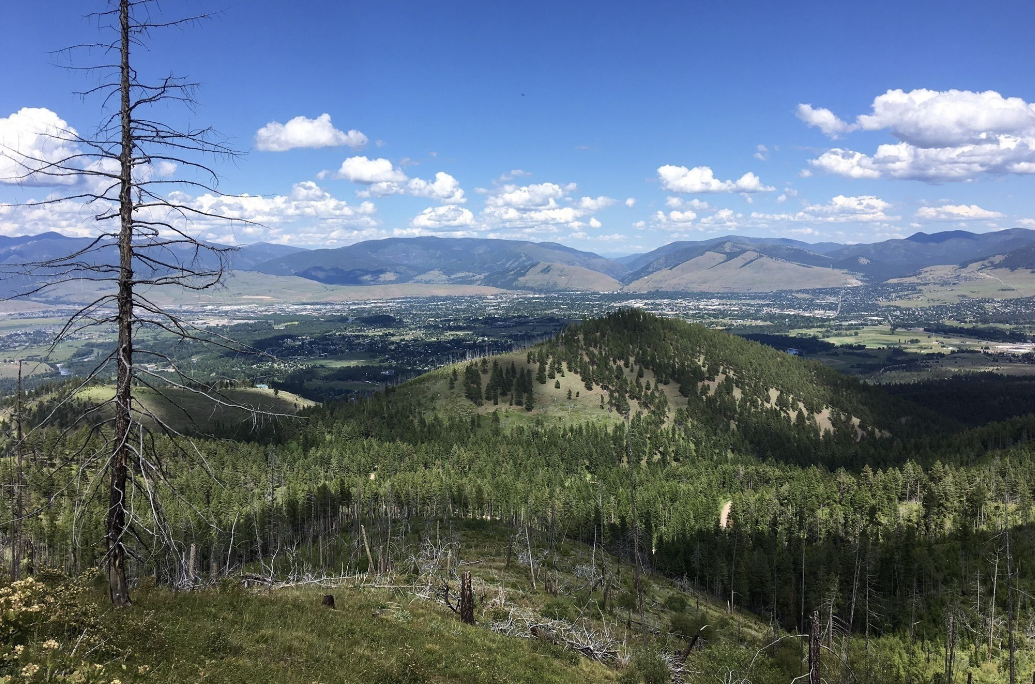
The trail system here at Blue Mountain involves trails for OHV, horse riding, foot traffic, mountain biking, disc golf, and winter activities. Blue Mountain Recreation Area catches the attention of locals and visitors due to its proximity to Missoula and its offers. From the top of Blue Mountain, you can look out to Missoula’s Valley, or face south to see the spectacular scenery of the Sapphire and Bitterroot Mountains. Don’t miss your chance to explore this magnificent recreational playground!
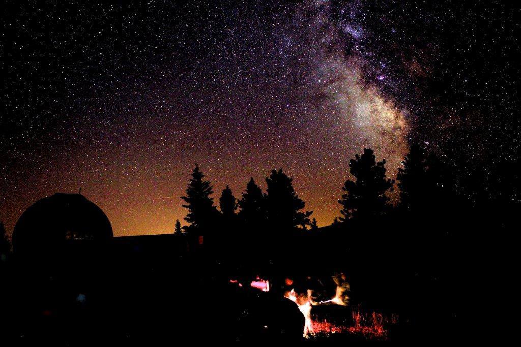
Blue Mountain Recreation Area is also home to the Blue Mountain Observatory. At all of the observatory events, the University of Montana astronomers and Western Montana Astronomical Association members will help you analyze what you are seeing, explore current discoveries, find constellations, and share star stories from different cultures. Make sure you make a reservation to lock your spot in so you have an opportunity to look through the telescopes and examine the night sky through the lens of astronomers!
Distance Unit:
Distance Unit: