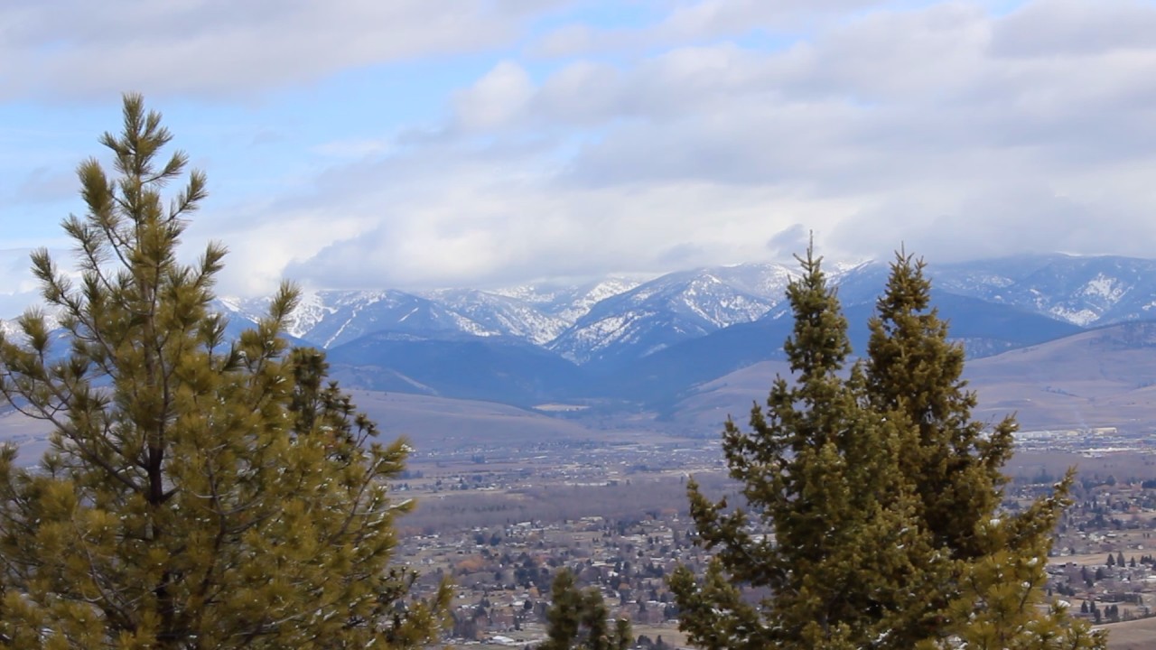
Traveling up Lolo Pass
Lolo Pass, at 5,233 feet, lies between the border of Idaho and Montana. It is the highest point in the historic Lolo Trail, and was used by the Nez Perce.
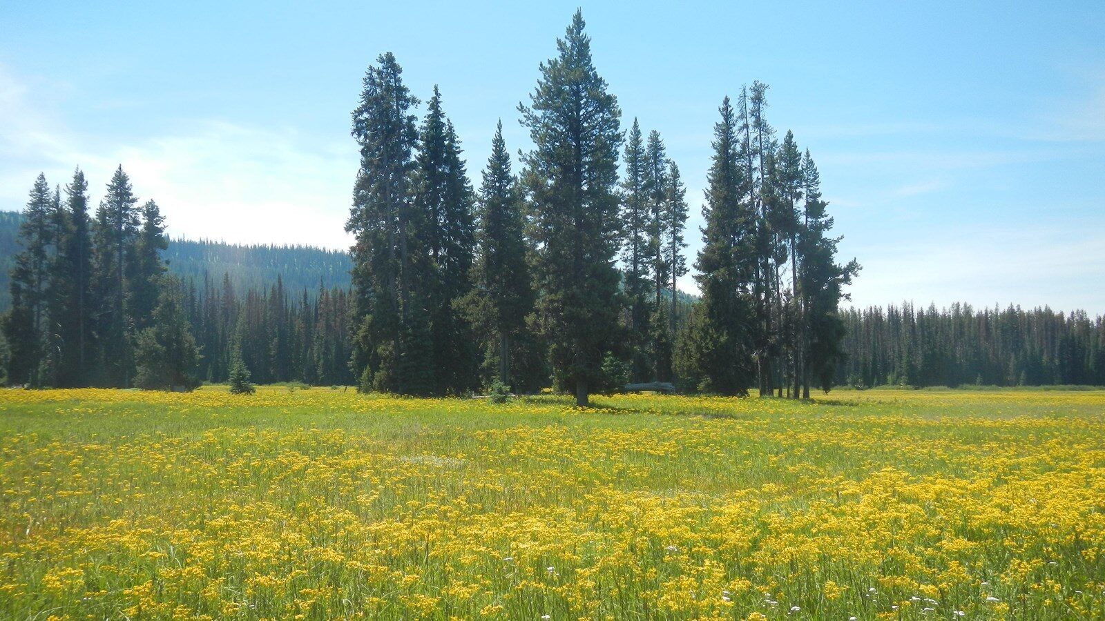
Lolo Pass is a place of recreation, all year long. Snow often will begin falling as early as October (and sometimes earlier), allowing for winter sports through April. During the summer, waterfalls, wildflowers and wildlife all make for the perfect hiking, biking, and camping getaway.
In the spring and summer, Lolo Pass is a place to view the majestic bright blue camas blooms. Visit Packer Meadows, the top of Lolo Pass, to see a field of blue waves.
Distance Unit:
Distance Unit:
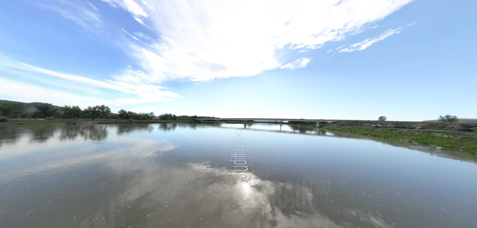


The Blackfoot River, sometimes called the Big Blackfoot River to distinguish it from the Little Blackfoot River, is a snow-fed and spring-fed river in western Montana.