Page Feedback

Historical Museum at Fort Missoula

Historical Museum at Fort Missoula

Information

Labor Day to Memorial Day: Tuesday-Sunday 12pm-4pm (Closed Mondays) Memorial Day to Labor Day: Monday-Saturday 10am-4pm & Sunday 12pm-4pm
406-728-3476
Students $2.00, Seniors $3.00, Adults $4.00, Max Per Family $10.00, Call for tour information.
The Museum grounds are pet friendly. We ask pets kept on leash.
lat: 46.8436827 long: -114.0629836

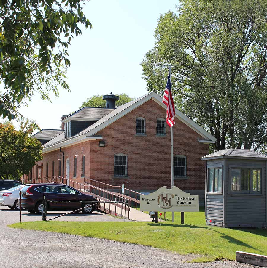
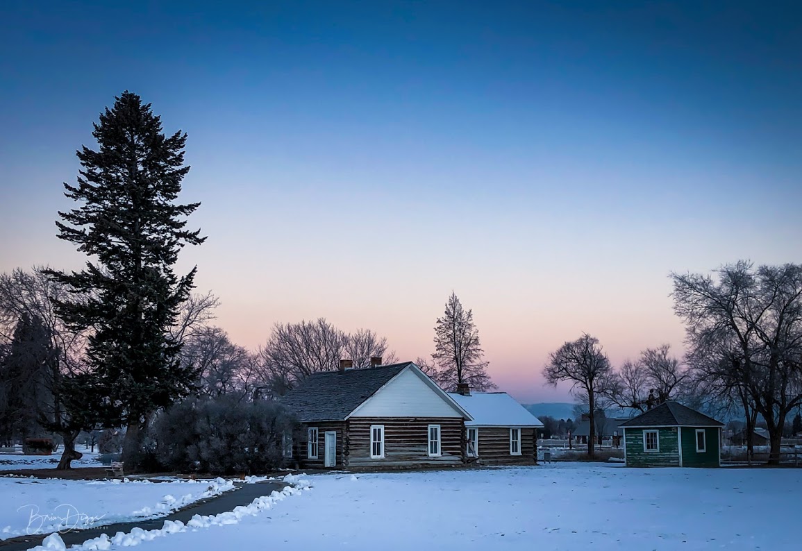
History has unfolded over the centuries, which has left an abundance of stories that give us a foundation to understand the present. The story of Fort Missoula begins in 1877, when it acted as a military post. Today, the Historical Museum at Fort Missoula shares the stories and objects from the rich history and culture of western Montana.

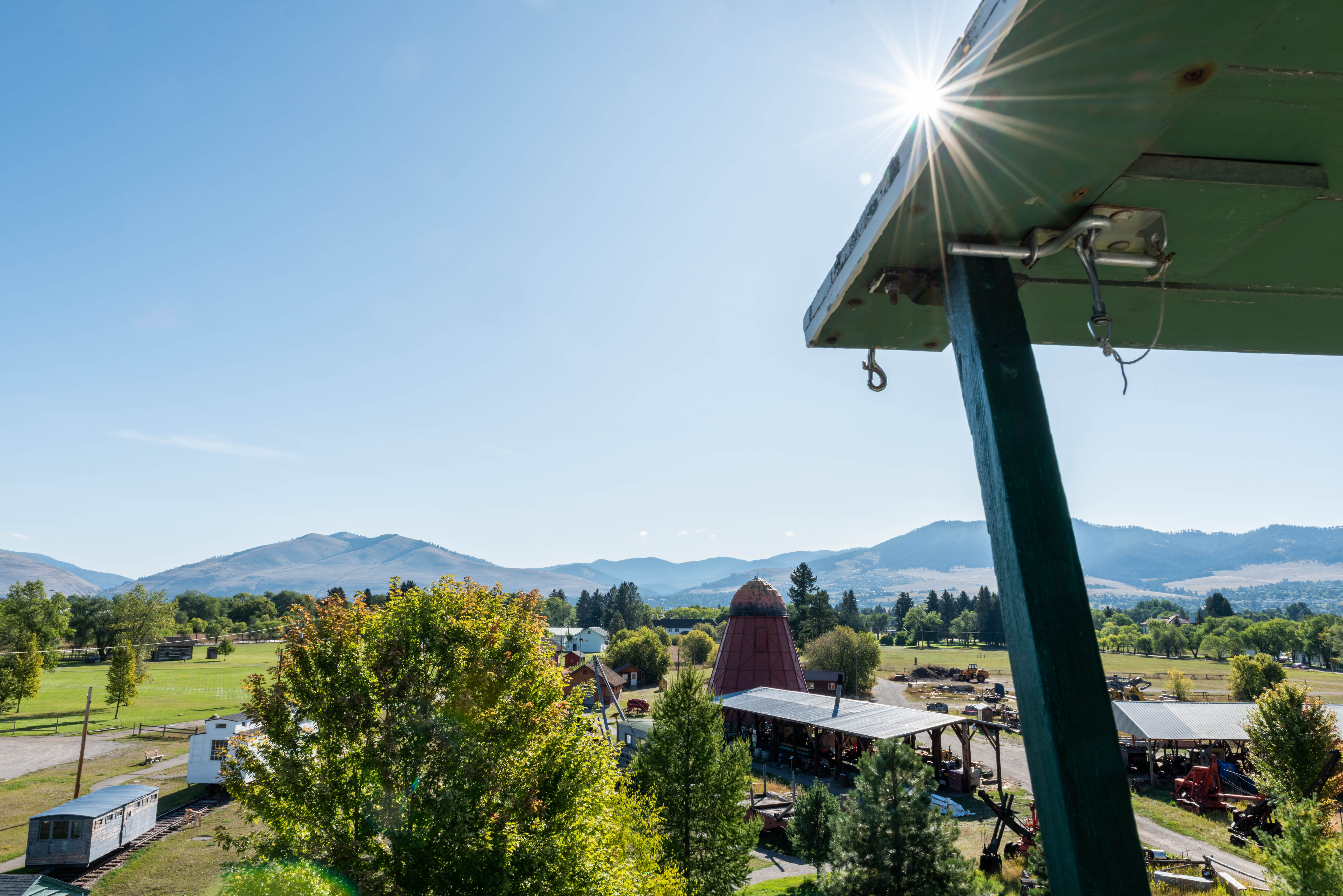
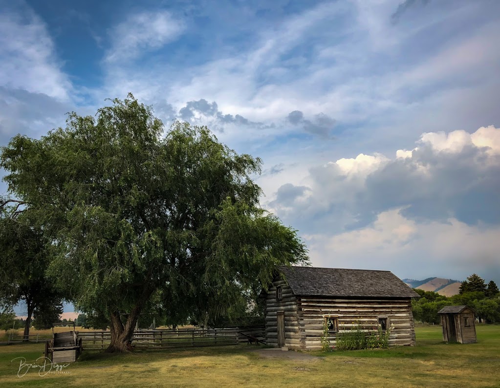
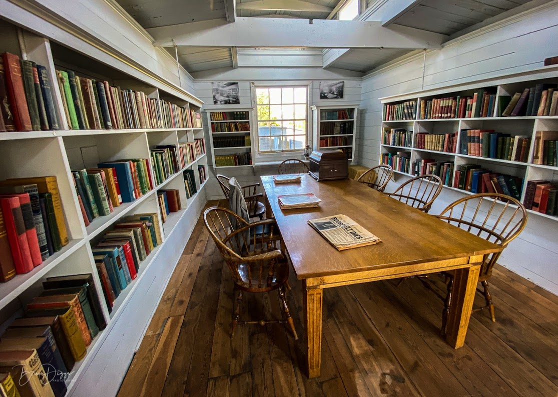
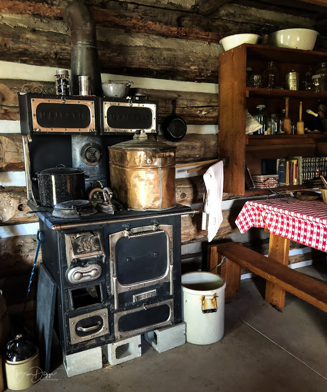
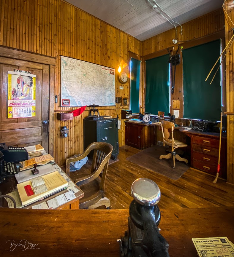
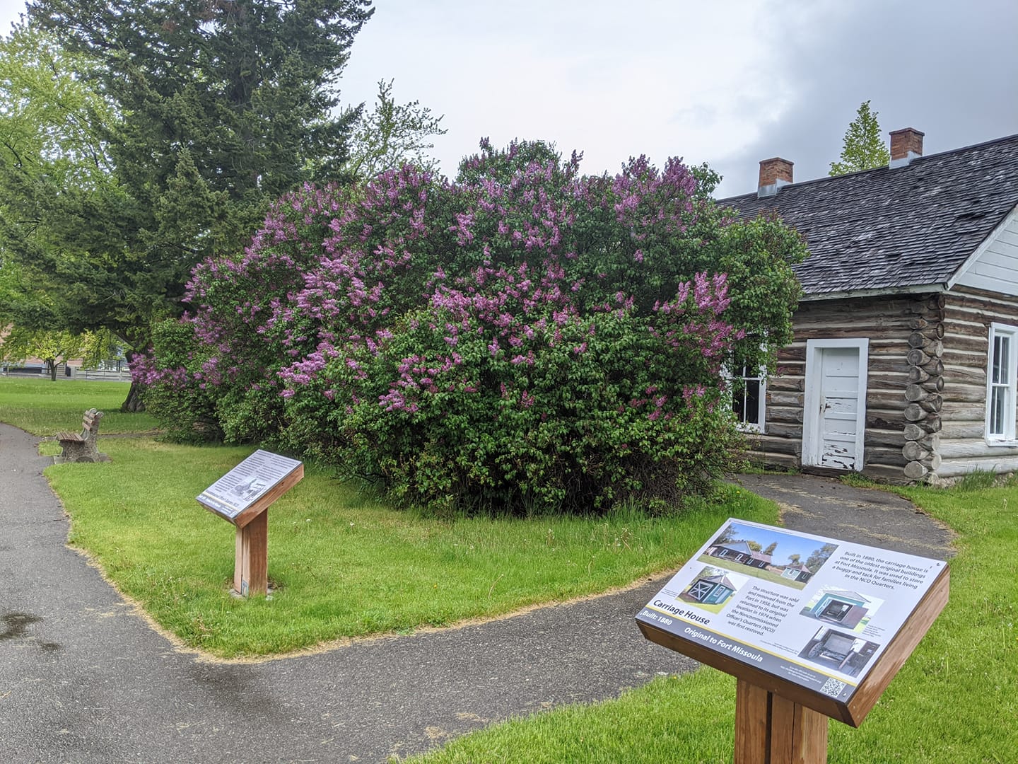
There are over 20 preserved historic buildings and structures on the walkable 32-acre site. The Historical Museum offers visitors a place to wonder, to reminisce, to learn about our county’s history and how our community’s past makes Missoula what it is today.

The Historical Museum provides programs for both adults and children to help guide their discovery of their own connection to the stories of our past. Programs range from crafts and conversations, after-school/homeschool/summer activities to book talks, lectures, annual Old-Fashioned 4th at the Fort Celebrations, and much more.

The Historical Museum also provides tours about the history of Missoula County, WWII Alien Detention Center, the 25th Infantry African American Bicycle Corps., and more. The Historical Museum at Fort Missoula offers endless opportunities as the exhibits rotate annually and for special events.

Nearby Attractions

Distance Unit:

Nearby Trails

Distance Unit:

Judith Landing to Woodhawk Wilderness

lat: 47.7400888 long: -109.6276312
Clearwater to Dunnigan Gulch

lat: 46.9502198 long: -113.3787584
Lemhi Pass Road

lat: 44.9579032 long: -113.3652553
Lewis and Clark Pass

lat: 47.1427216 long: -112.4289137
Portage Camp Overlook

lat: 47.5052849 long: -111.3007715
Upper Hauser Lake to Missouri River

lat: 46.6822743 long: -111.8215701
Blackfoot River Beginning

lat: 46.9502198 long: -113.3787584
Yellowstone River

lat: 45.511026613548 long: -110.58150009801
Imnamatoon Road

lat: 46.59337 long: -114.61484
Coal Banks Landing to Eagle Creek

lat: 47.7400888 long: -109.6276312
Beaver Creek to Hauser Lake

lat: 46.6822743 long: -111.8215701
Clearwater to Dunnigan Gulch


lat: 46.9505625 long: -113.5433125
Send Feedback

Instagram Feed