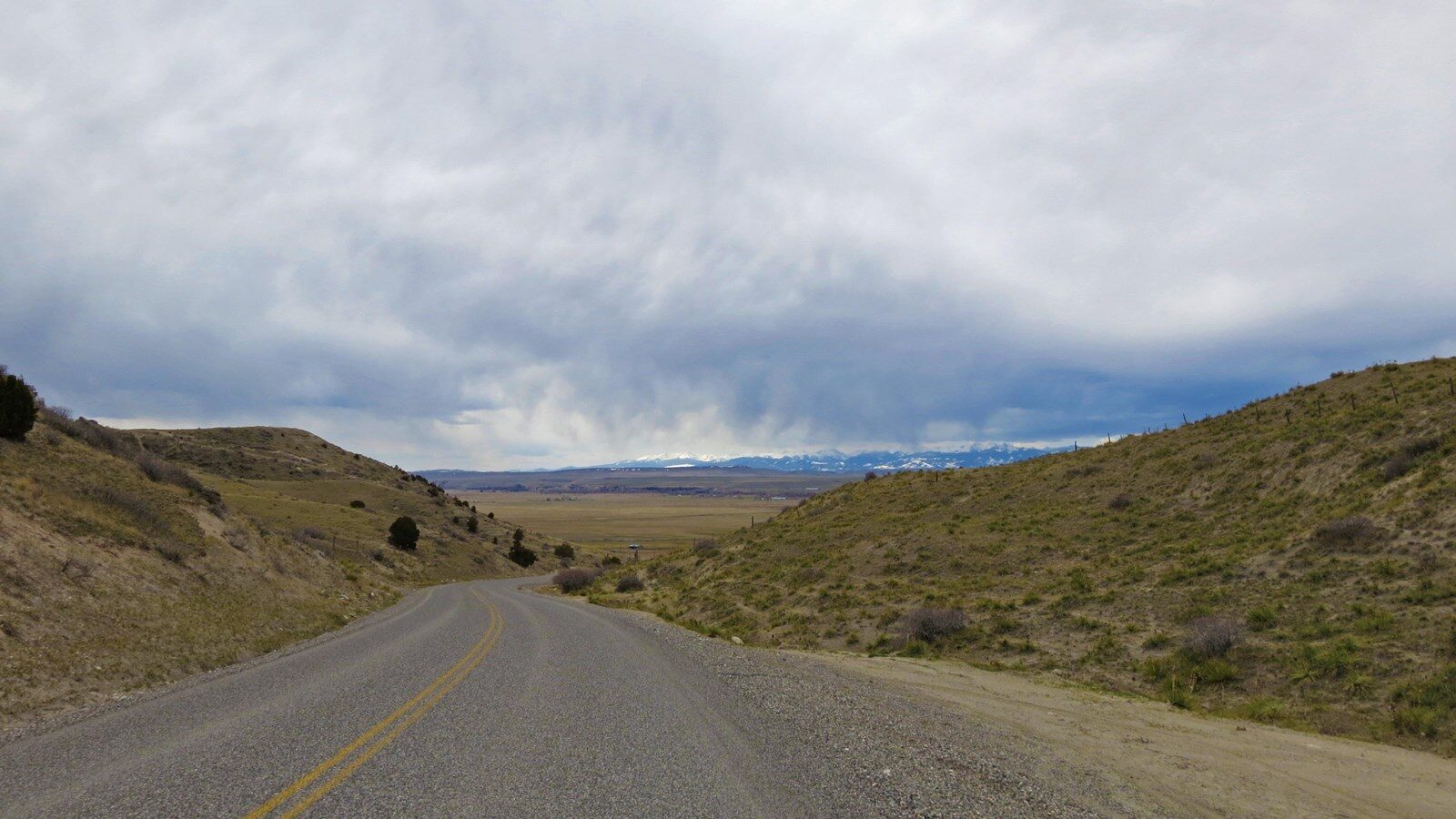
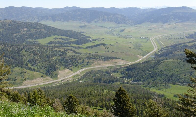
Bozeman Pass
On July 15, 1806, as Clark’s party traveled from the Gallatin River toward the Yellowstone River valley, they were guided by Sacagawea, who knew the area from her childhood. She led them between the Bridger and Gallatin mountain ranges through Bozeman Pass. When still encamped at the Three Forks of the Missouri on July 13, Clark had considered a route through a pass further to the north, but wrote, “The indian woman who has been of great Service to me as a pilot through this Country recommends a gap in the mountain more South which I shall cross.” The party ascended following a “well beaten buffalow road” to “the top of the dividing ridge between the waters of the Missouri from those of the river Rochehone [Yellowstone].”
Although first documented by Clark and later named for John Bozeman, who in the early 1860s helped blaze the Bozeman Trail, the pass had been used as a corridor for thousands of years prior to the Corps of Discovery, particularly by tribes reliant upon following bison migrations. As modes of transportation advanced into the modern era, the Bozeman Pass remained the established thoroughfare into southwestern Montana. Substantial development began with the Northern Pacific Railway, completed in 1883. An automobile highway, the Yellowstone Trail, was first constructed across the pass in 1912. This was replaced in 1926 by US 10, and then in 1956 by Interstate 90. There is a historical marker documenting the expedition’s passage.
Distance Unit:
Distance Unit:


A trail starting at Hauser Dam and overlooking the Missouri River.