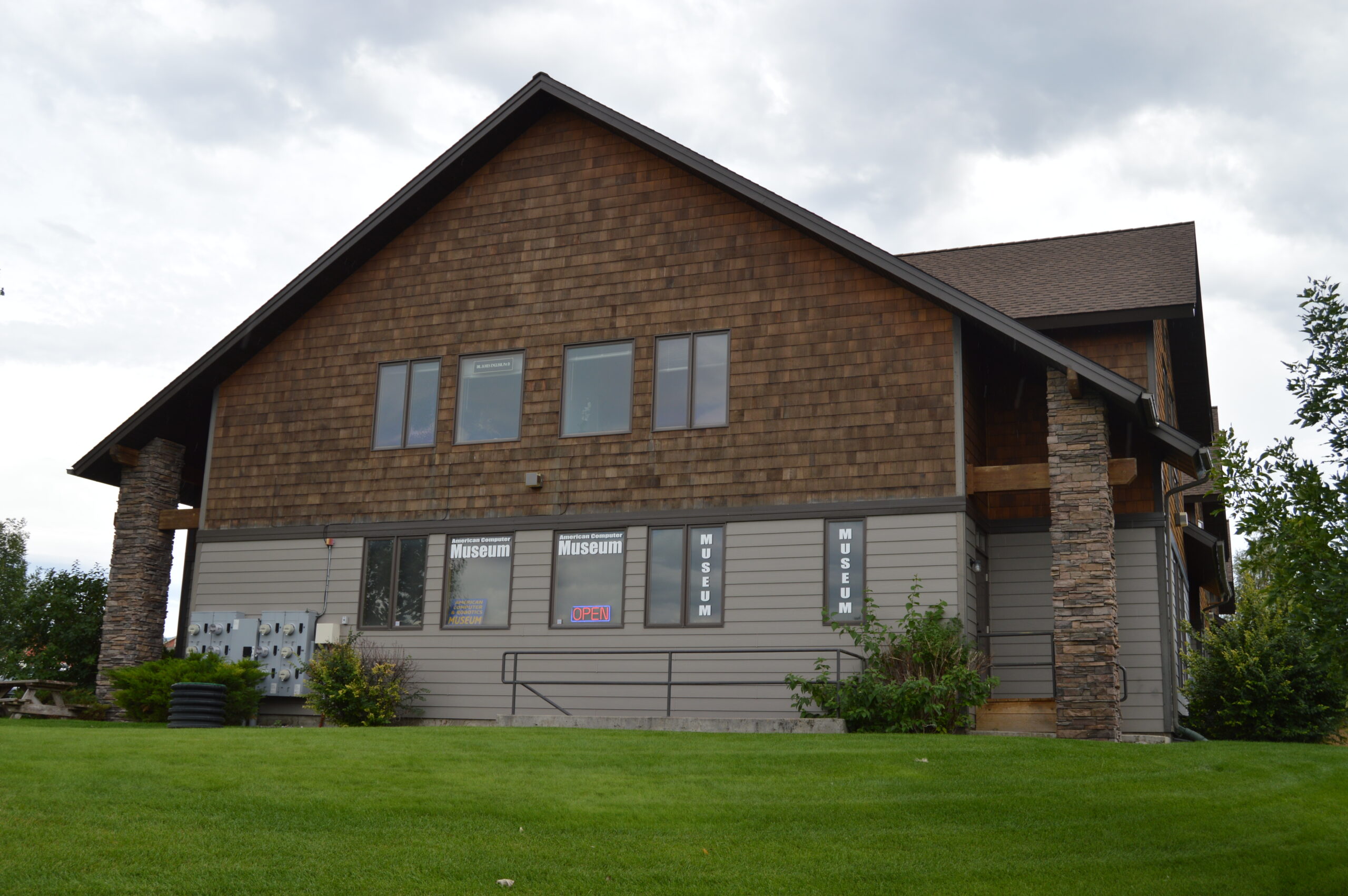
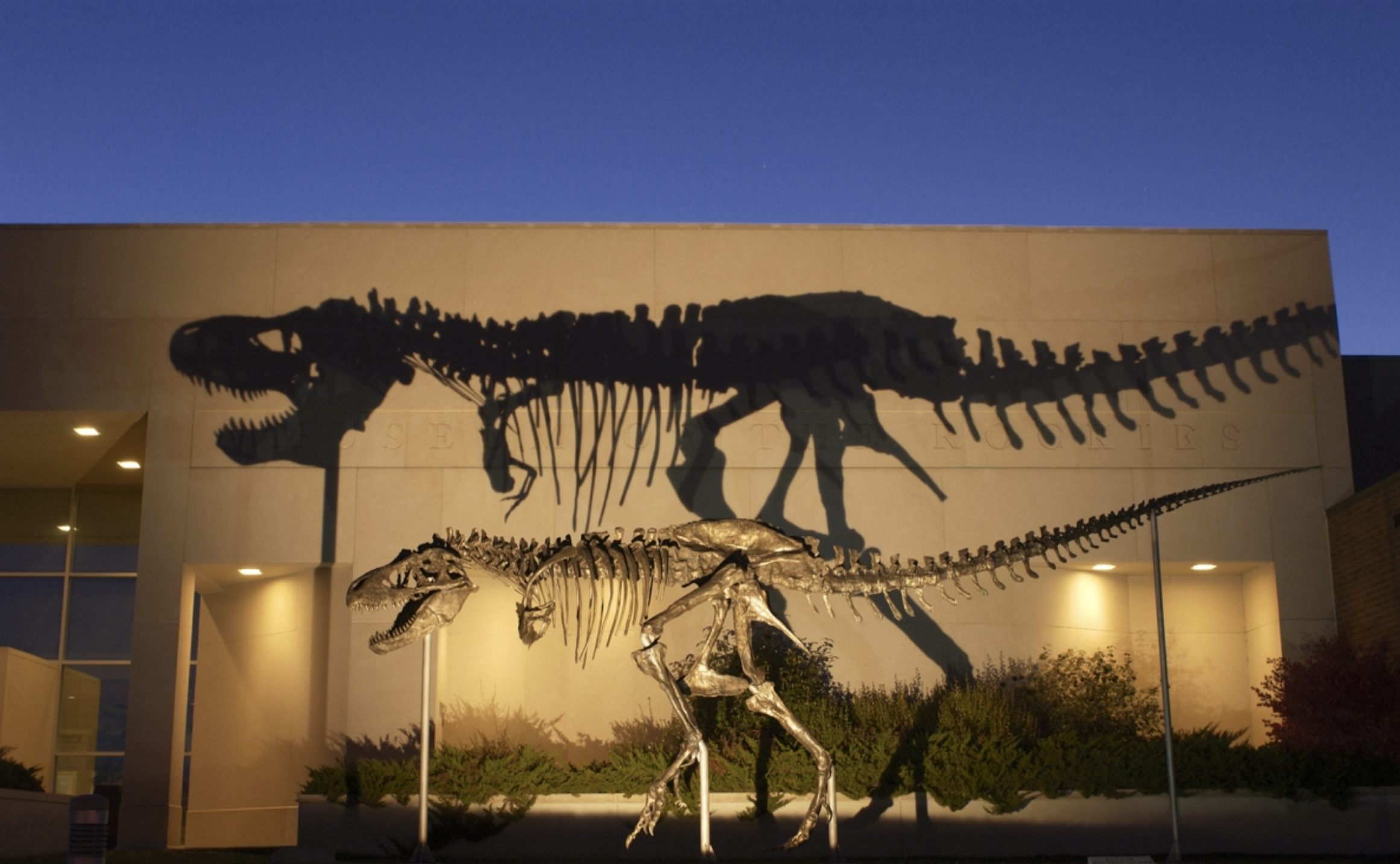
Museum of the Rockies
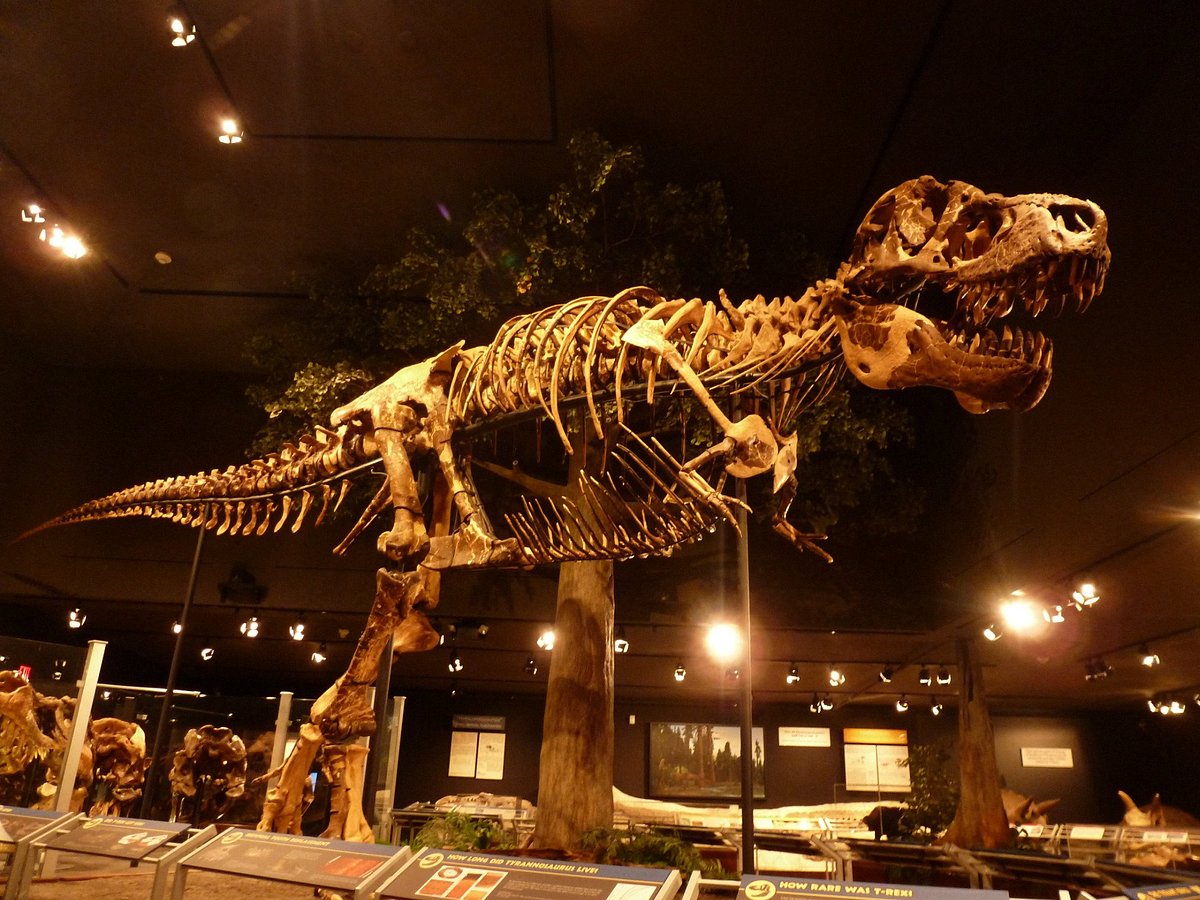
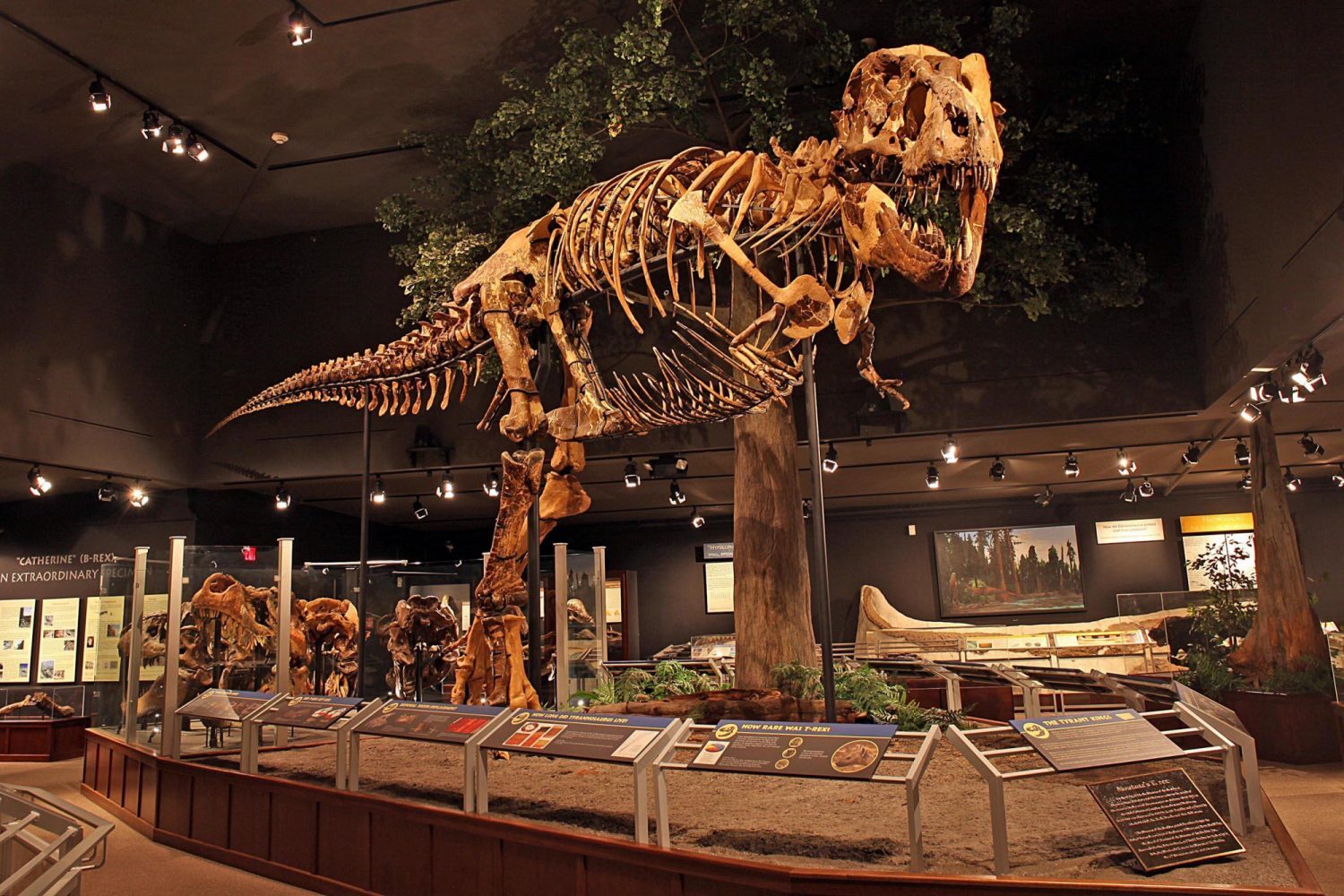
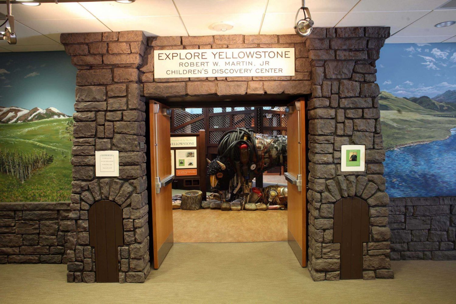
Museum of the Rockies – located in Bozeman, this museum is originally affiliated with Montana State University and the Smithsonian Institution, known mainly for its paleontological collections. It is recognised as a world-class cultural and natural history museum and research facility. With ever-changing exhibits from around the world, there’s always something new to see at the site – ranging from planetarium shows, educational programs and camps, insightful lectures and many more! One of its exhibits – Enduring Peoples – is highly connected with the Lewis and Clark expedition as it examines the lifeways of American Indians living on the Northern Plains and near the Rocky Mountains, illustrating the ways in which they retained their cultural identities despite great challenges. Although the first outside explorers into these native lands are unknown, the Lewis and Clark Expedition constituted the first systematic exploration by documenting descriptions and illustrations of the area and its resources.
If you’re interested in hearing the authentic stories of Montana and the Northern Rockies, while diving deep into the region’s rich history – Museum of the Rockies should definitely be on your bucket list!
Distance Unit:
Distance Unit:


A trail starting at Hauser Dam and overlooking the Missouri River.