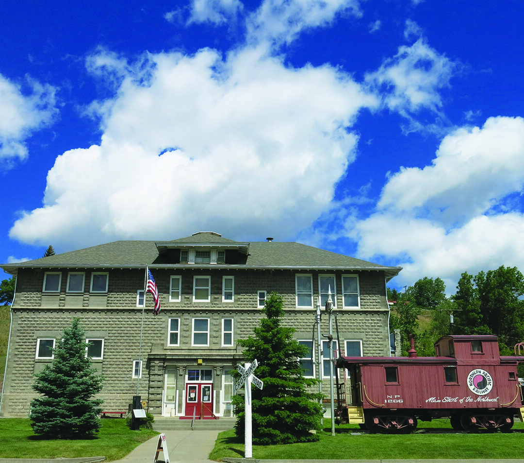
Livingston Depot Center
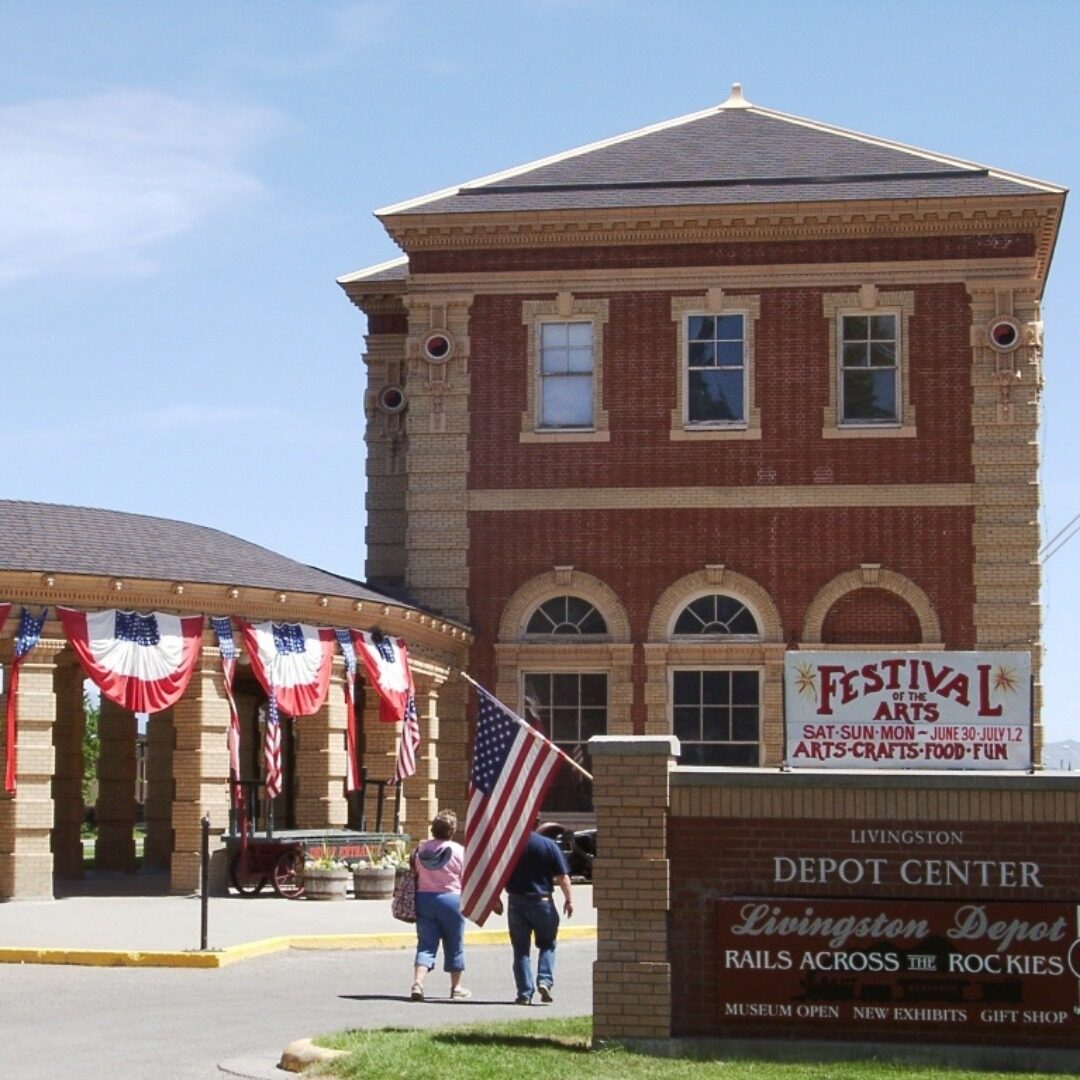
Livingston Depot is a former train station built by the Northern Pacific Railway in 1902. It serves as a seasonal museum from May – September, and for the rest of the year it is an incredible community and event center as it has an elegant courtyard, shaded park, and local shops around. It is described as rich in historic detail, beauty, and grace.
The museum offers multiple different exhibits to see, and one of them include “Rails across the Rockies: A History of People and Places” which examines the Northern Pacific’s key role in introducing America to Yellowstone – the first National park of the US, as well as broader regional railroad history. It is complemented by “The Livingstone Depot in History and Architecture”, and at least one special exhibit each year. The Depot Center is currently under oversight of the Livingstone Depot Foundation, which is a non-profit organisation committed to enriching the lives of residents of Livingstone and surrounding areas, as well as tourists to the Yellowstone area. This is achieved by promoting tourism development through the operation and use of the Livingstone Depot Center, presenting and promoting visual arts, culture and history of the Yellowstone region, as well as by restoring and preserving the historic Northern Pacific depot – now a community cultural center.
If you’re interested in discovering the majestic columnades of this Depot Center in the heart of downtown Livingstone, make sure to stop by this site!
Distance Unit:
Distance Unit: