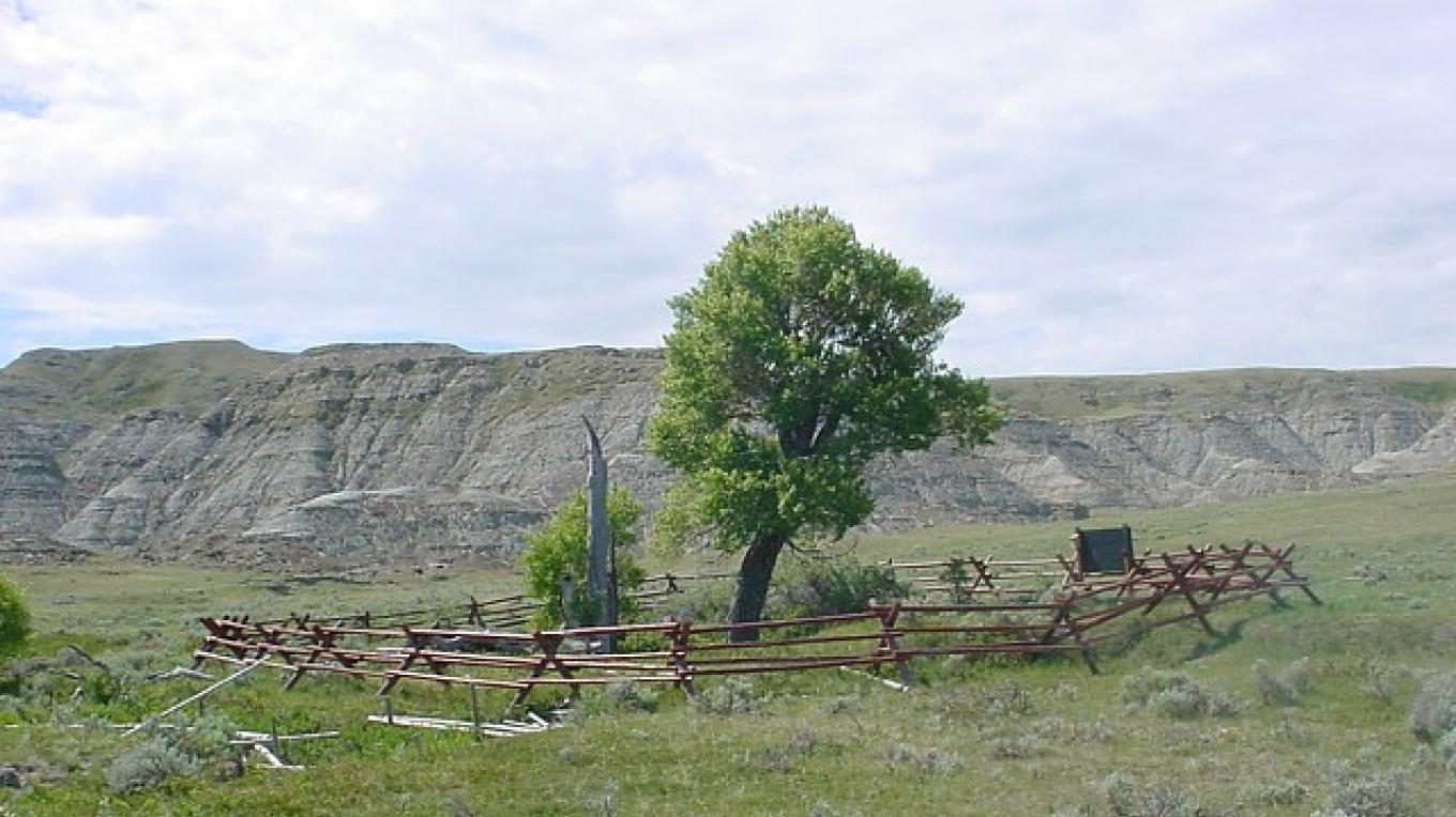
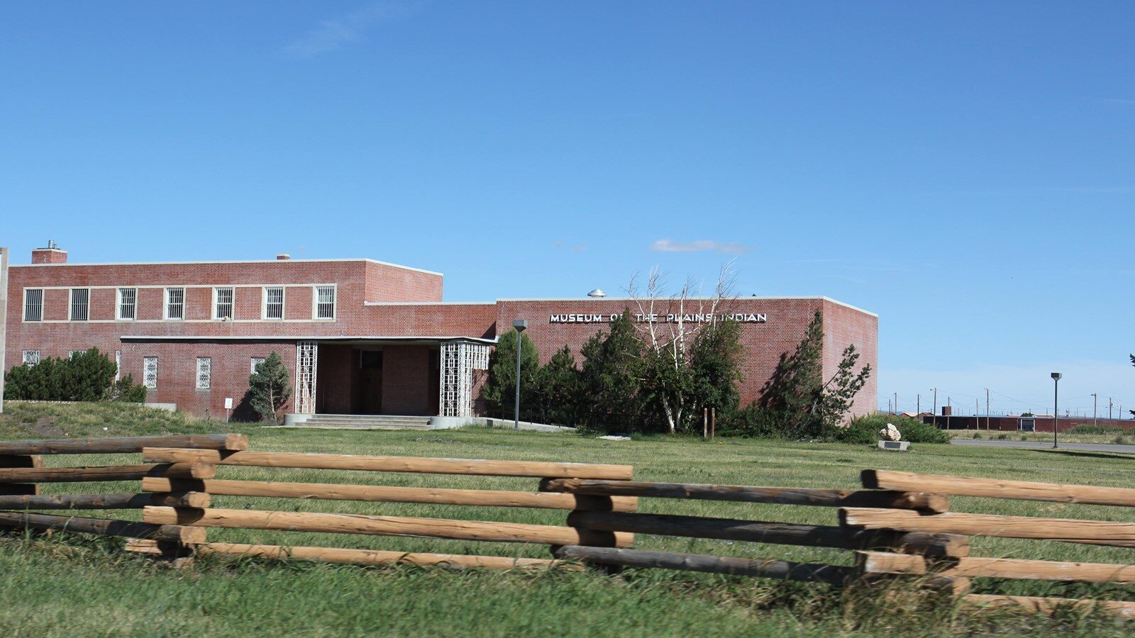
Camp Disappointment
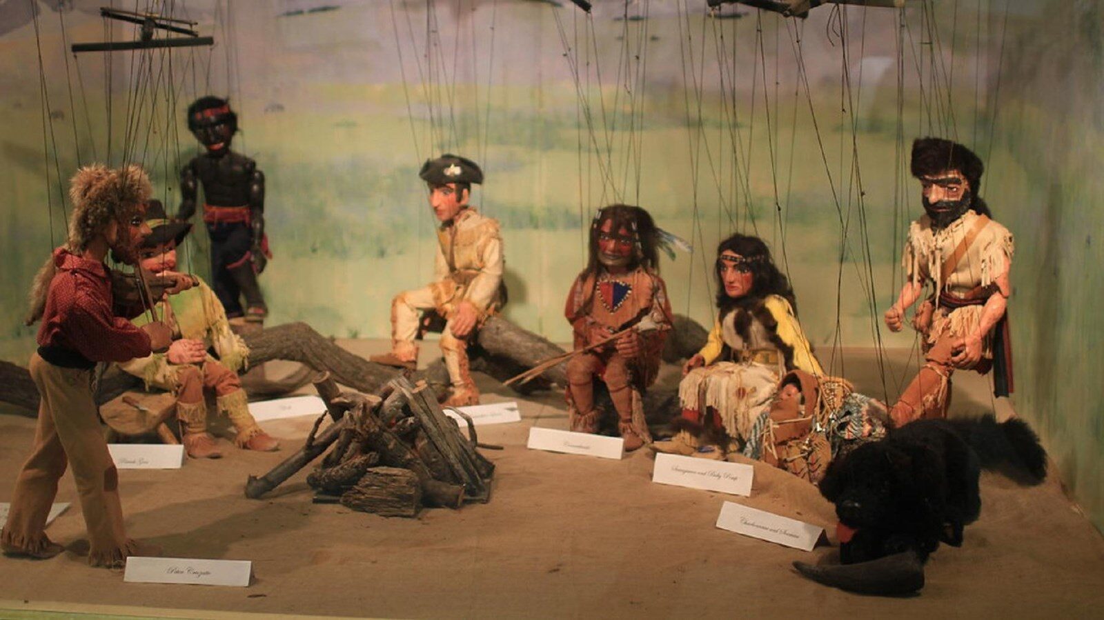
During the return journey, Lewis decided to explore up to the headwaters of the Marias River in order to determine if it extended north of the 49th Parallel (thereby expanding the northern boundary of the Louisiana Purchase), and discover if there was an easy portage between the Marias and Saskatchewan rivers (which could route western Canadian fur trade to the Missouri). Lewis, Drouillard and the two Field brothers reached the expedition’s northernmost campsite on July 22, 1806, and spent three full days exploring the area. With observation efforts frustrated by continual bad weather and increasingly wary of encountering hostile Blackfeet, they departed on the morning of July 26. After failing to establish a latitude with his instruments, coupled with an understanding that the Marias River did not reach as north as hoped, Lewis wrote, “we set out biding a lasting adieu to this place which I now call camp disappointment.”
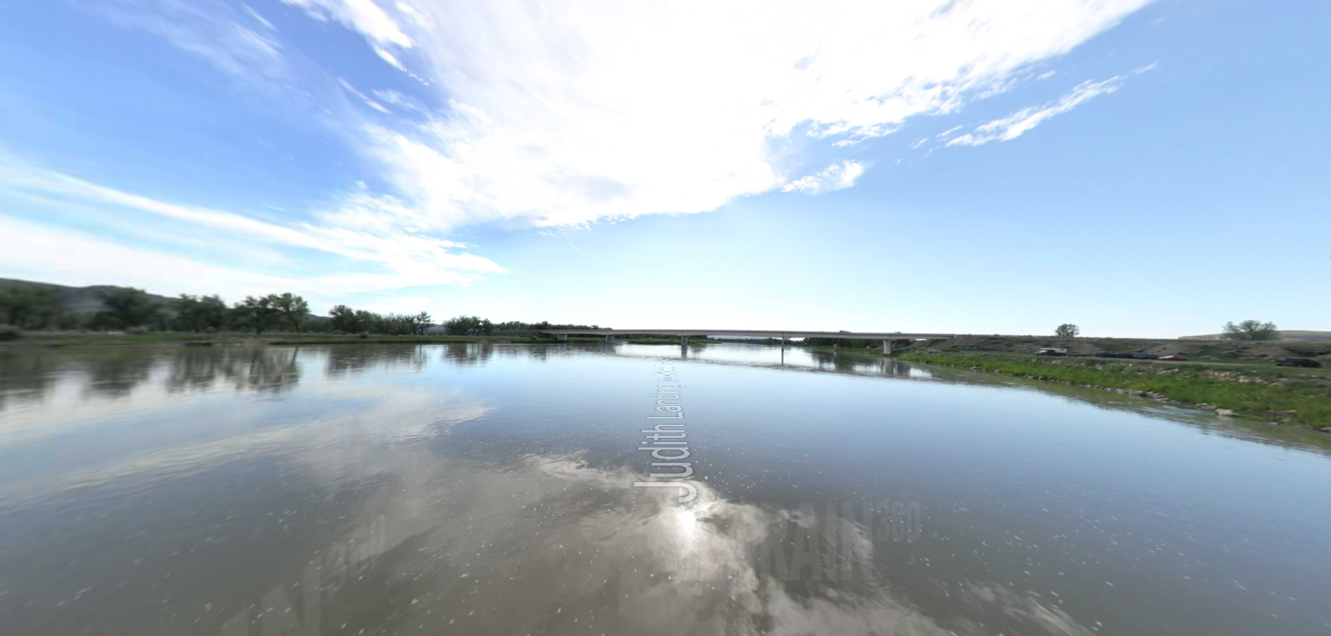
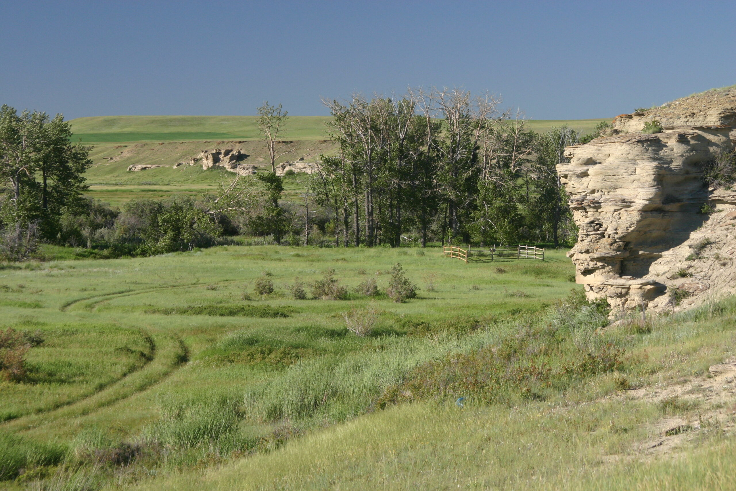
Camp Disappointment lies within an open landscape of meadows interspersed with cottonwood stands along Cut Bank Creek. To the immediate east of the campsite and abutting the creek is a distinctive 300- foot cliff that was traditionally used as a buffalo jump. Located on privately owned land within the Blackfeet Indian Reservation, permission is needed to access this site. In 1925, the Great Northern Railroad erected a monument to commemorate Camp Disappointment near milepost 233 on US Highway 2. It is about four miles south of the actual historic site.
Distance Unit:
Distance Unit: