Arrow Rock
The Village of Arrow Rock, Missouri was a notable part of the journey for the Corps of Discovery. At the time of Lewis and Clark’s expedition, Arrow Rock was known as The Prairie of Arrows. The village was established in 1829, 25 years after the Corps of Discovery’s first visit to the area.
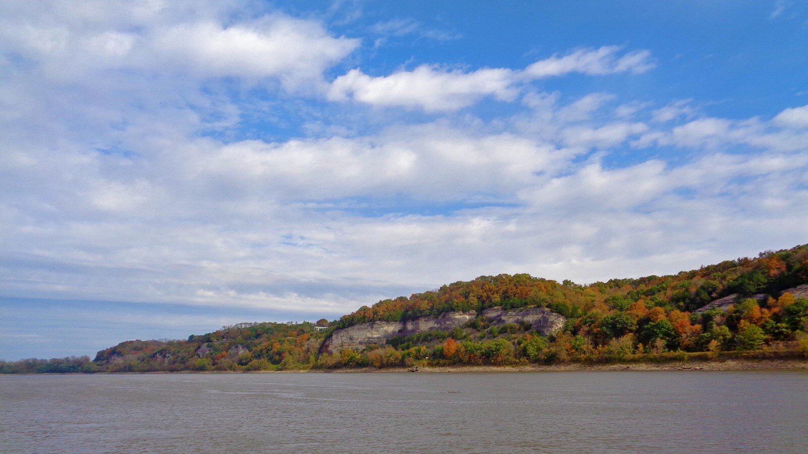
Clark noted in his journal, on June 9, 1804, “Several Small Chanels running out of the River below a Bluff & Prairie (Called the Prairie of Arrows) where the river is confined within the width of 300 yards” The journal entry was important documentation of the land they were exploring and viewing; not only for their return trip, but also to have records of the landscape to report back to Thomas Jefferson. In 1807 William Clark passed through the Prairie of Arrows again with the intent to build Fort Osage. Clark stated that the prairie was a prime spot for a fort and town.
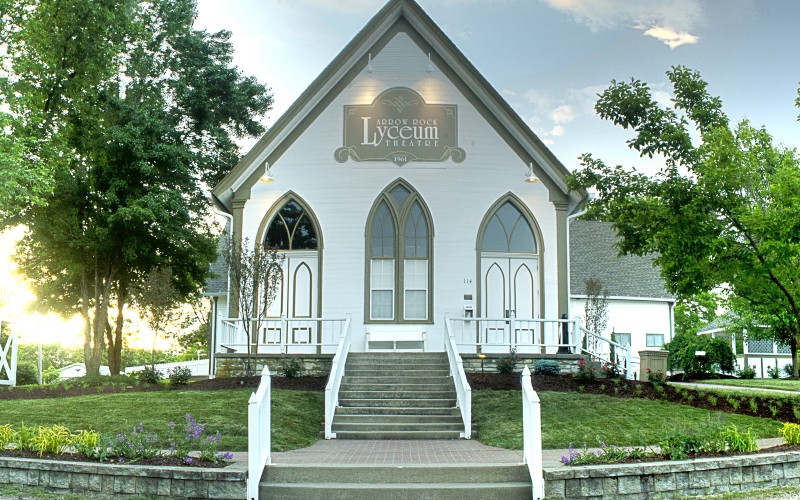
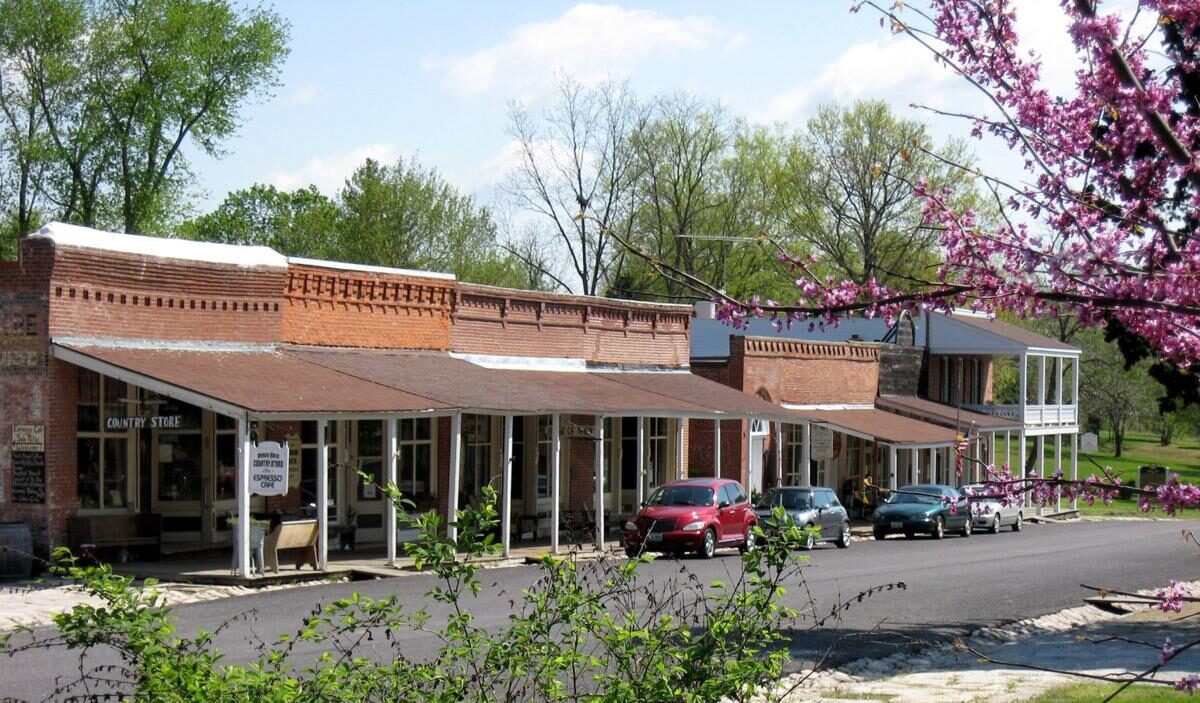
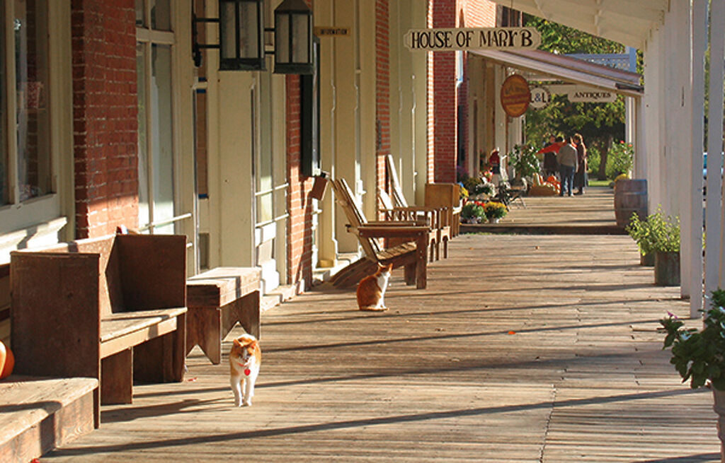
Today, Arrow Rock Missouri is a National Historic Landmark with incredible charm and many places to shop, eat and stay and discover. Almost 200 years since its establishment, Arrow Rock holds not only important history, but also many modern attractions such as fine dining restaurants, country stores with children’s toys, art galleries, Native American artisan store, museums, and so much more.
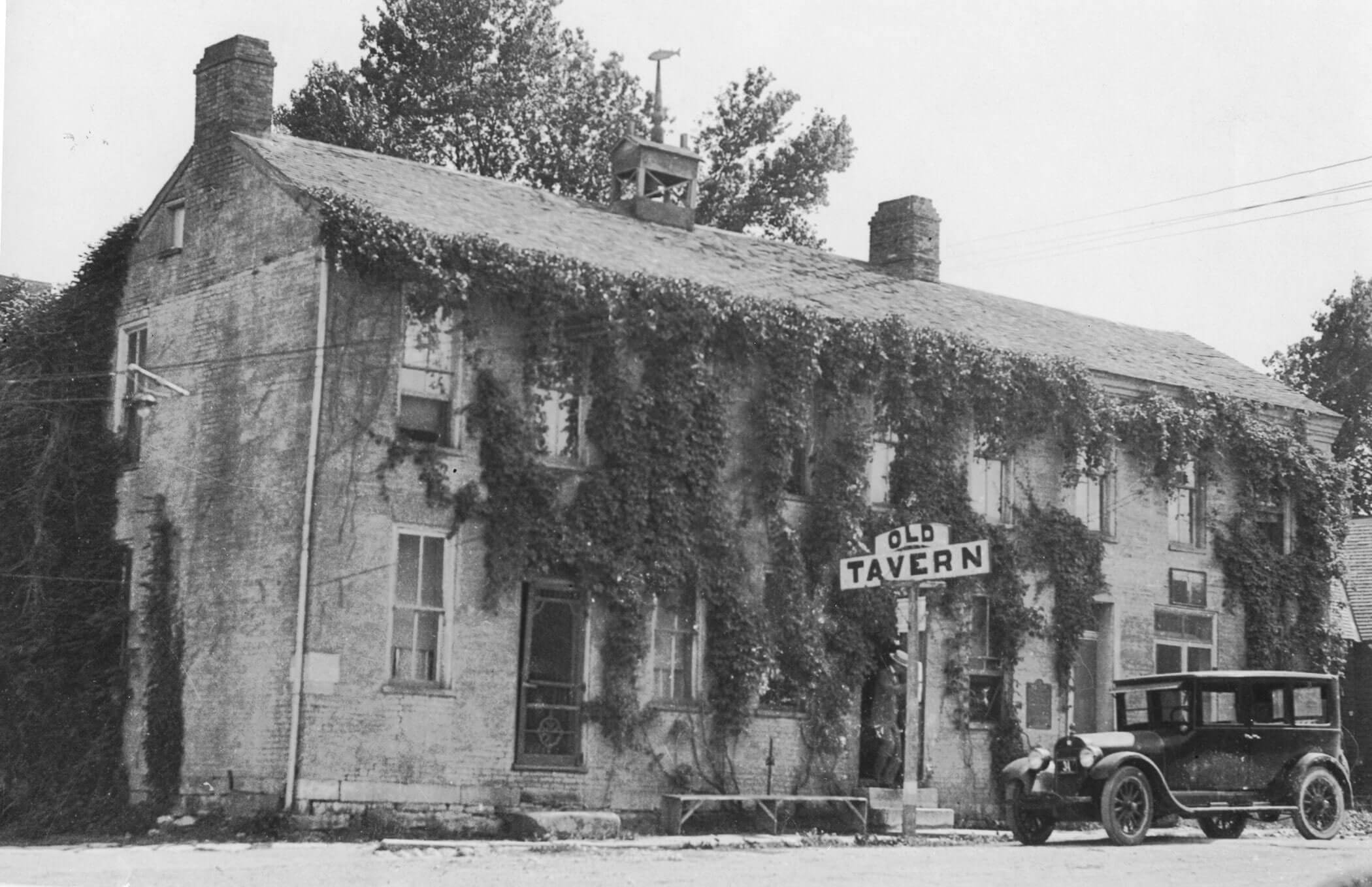
With such a rich history, and many notable former residents, Arrow Rock is an ideal to explore the past. Arrow Rock is home to Missouri’s first state-designated historic site, a 19th century tavern that was the first site to be kept as-is through historic preservation.
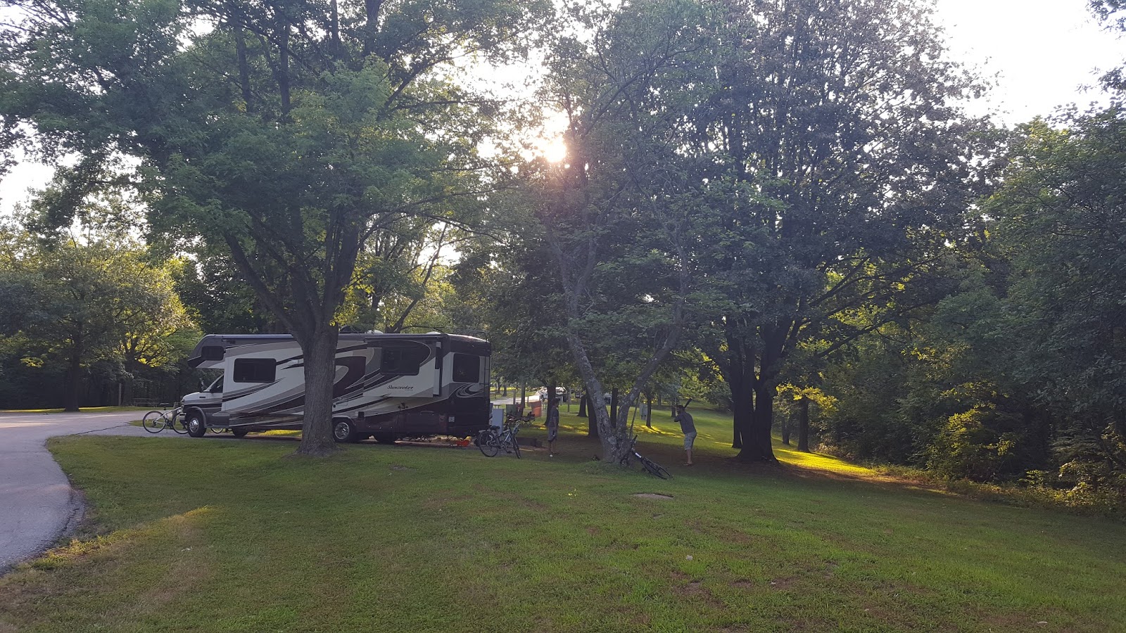
To visit Arrow Rock is to step back in time and see how integral this now thriving village was to the U.S’s expansion of the west.
Distance Unit:
Distance Unit:


A boat ramp to the beautiful Missouri River with a peaceful view of the river.

A boat ramp that allows visitors to access the Trail of Tears


The path taken by Chief John Ross on his way to Cairo. (https://www.hmdb.org/m.asp?m=161480)