Willard’s Trunk at Arrow Rock State Historic Site Museum
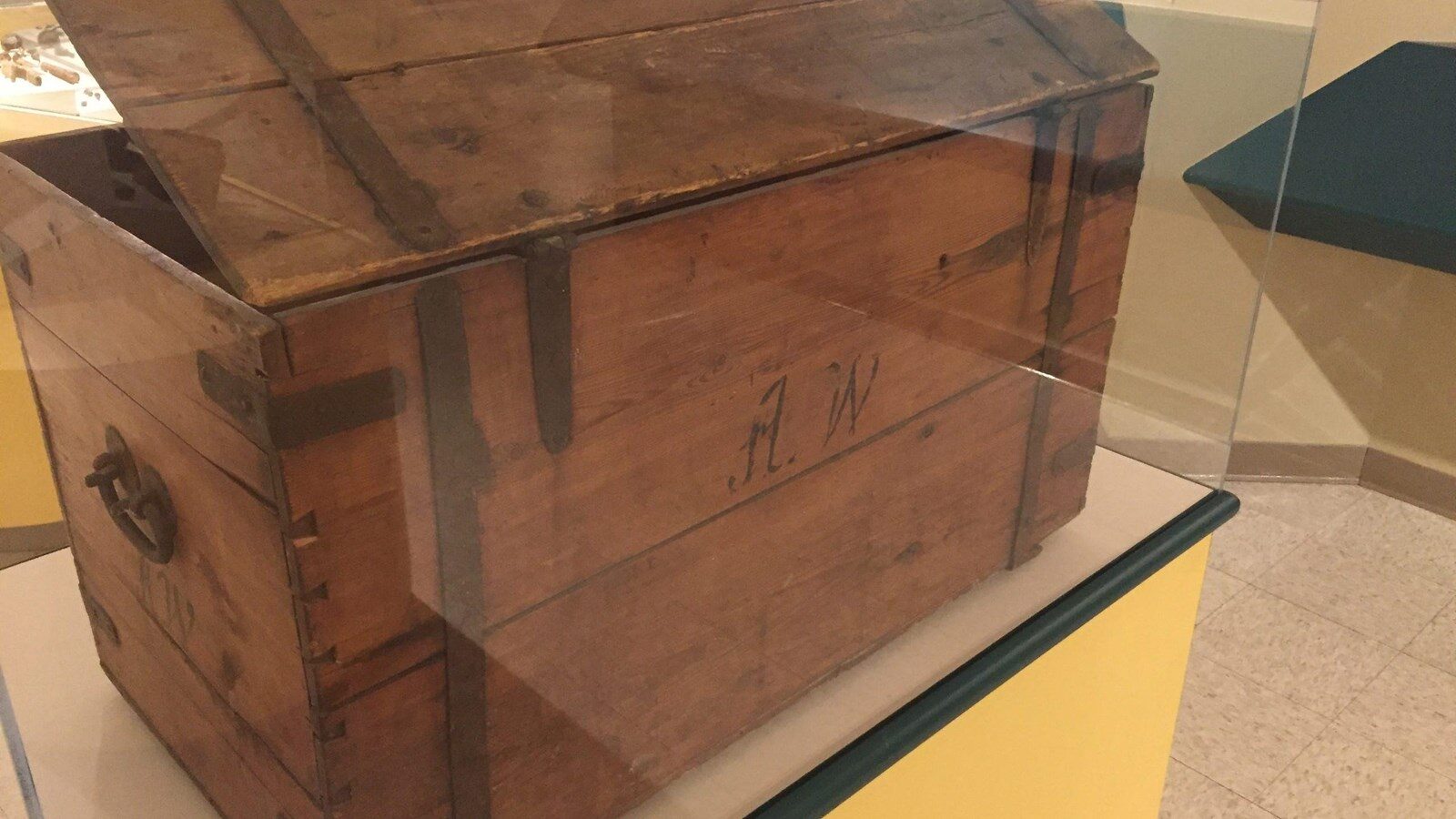
This wooden trunk with the initials A.W. is believed to be that of Alexander Willard, one of the blacksmiths and gunsmiths of the Corps of Discovery. It’s within the collection of the Arrow Rock State Historic Site museum, in Arrow Rock, Missouri.
According to the Historic Site, Willard family tradition says he made the trunk shortly before joining the U.S. Army in 1800. However, it’s not known if it made the journey to the Pacific and back. The trunk was purchased from Willard’s great-great-great grandson in June 2011.
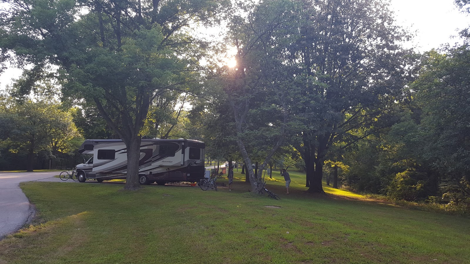
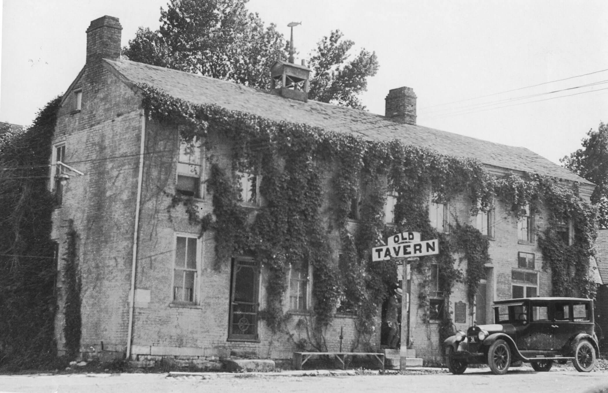
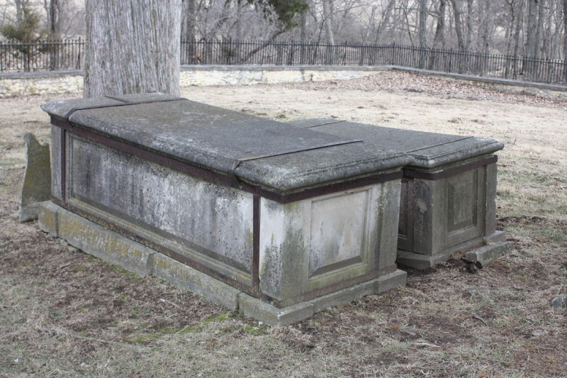
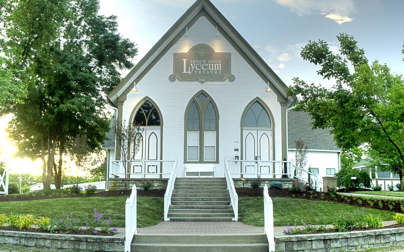
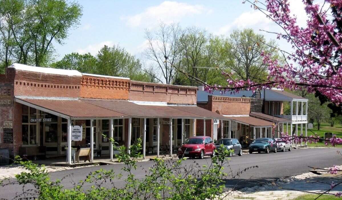
Arrow Rock State Historic Site, a National Historic Landmark, gives you the opportunity to stroll through the history of a once-bustling river town that is now the serene village of Arrow Rock. The historic site is part of the larger town, which features quaint stores and antique shops. Located in north-central Missouri, along the Missouri River, you’ll find a visitor center and museum, the Bingham Home, Huston Tavern, old courthouse, doctor’s home, stone jail, and other historic buildings. The park also offers camping facilities and hiking trails.
The historic site and village are about 45 miles west of Columbia, Missouri. To learn more, visit the Arrow Rock State Historic Site Visitor Center.
Distance Unit:
Distance Unit:


A boat ramp to the beautiful Missouri River with a peaceful view of the river.


A boat ramp that allows visitors to access the Trail of Tears