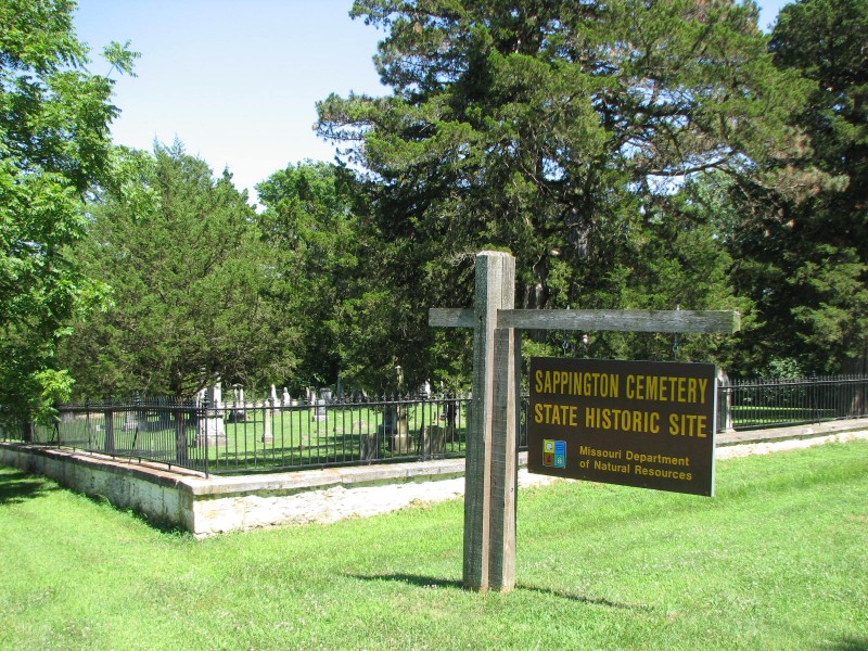
Sappington Cemetery State Historic Site
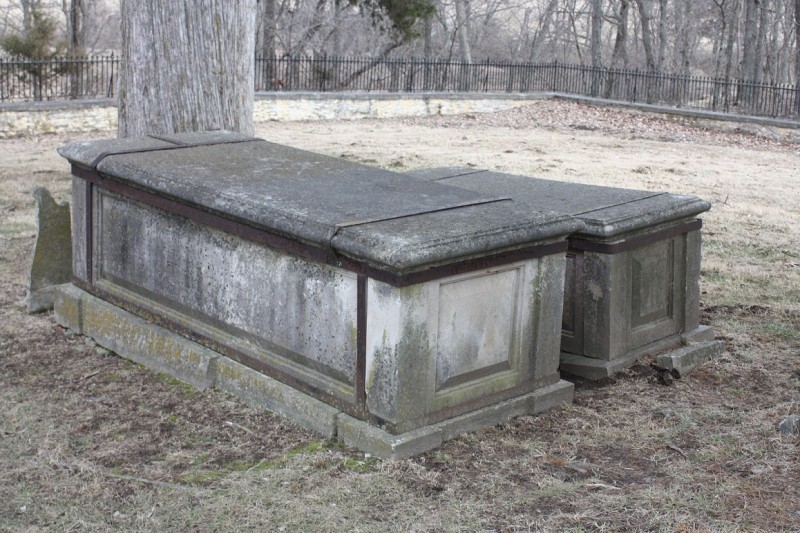
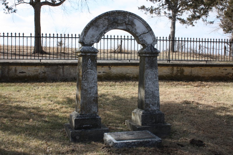
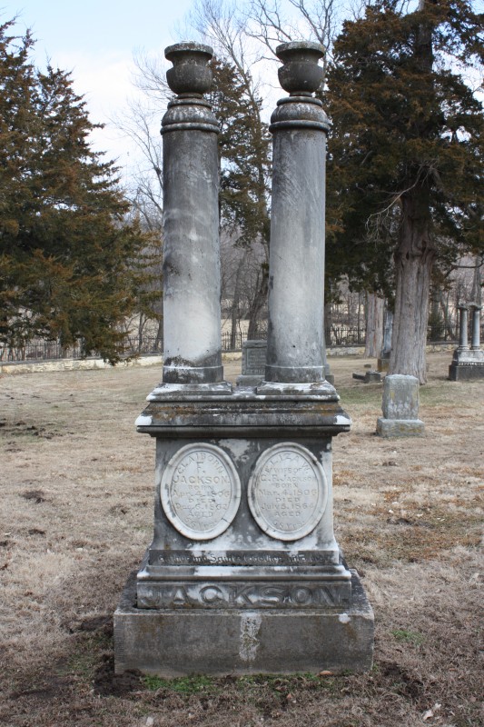
Dr. John Sappington (1776-1856) a prominent pioneer physician of Saline County, Missouri, established this family cemetery in 1831. The two-acre cemetery contains 110 known graves and is enclosed by a stone wall topped with an iron picket fence constructed in 1859. The cemetery contains the graves of two Missouri governors; Meredith Miles Marmaduke (1791-1864) and Claiborne Fox Jackson (1806-1862)
Dr. Sappington refined and began mass-marketing quinine in pill form to treat malarial fevers by 1832. He wrote in 1844, The Theory and Treatment of Fevers, the first medical treatise published west of the Mississippi River.
Dr. Sappington was a power broker in the Missouri Democrat Party. His political dynasty expanded substantially when two son-in-laws-Meredith Miles Marmaduke and Claiborne Fox Jackson and one grandson John Sappington Marmaduke each became Missouri governors. An educational trust fund established by the Doctor continues to provide scholarships to local students.
The architecture and symbolism of the cemetery reflects the concepts of the afterlife held in the 19th century.
The facility is administered by Arrow Rock State Historic Site and is located on Route AA Spur five miles southwest of Arrow Rock.
Distance Unit:
Distance Unit:


A breathtaking viewpoint overlooking the Trail of Tears State Park. Car access is available

Explore the Trail of Tears State Park to delve into a somber chapter in American history. Here, nine Cherokee Indian groups crossed the harsh winter Mississippi River in 1838-1839 during their forced relocation to Oklahoma.…


The path taken by Chief John Ross on his way to Cairo. (https://www.hmdb.org/m.asp?m=161480)