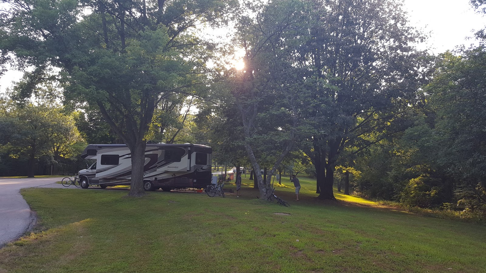
Moniteau Creek at Manitou Bluffs
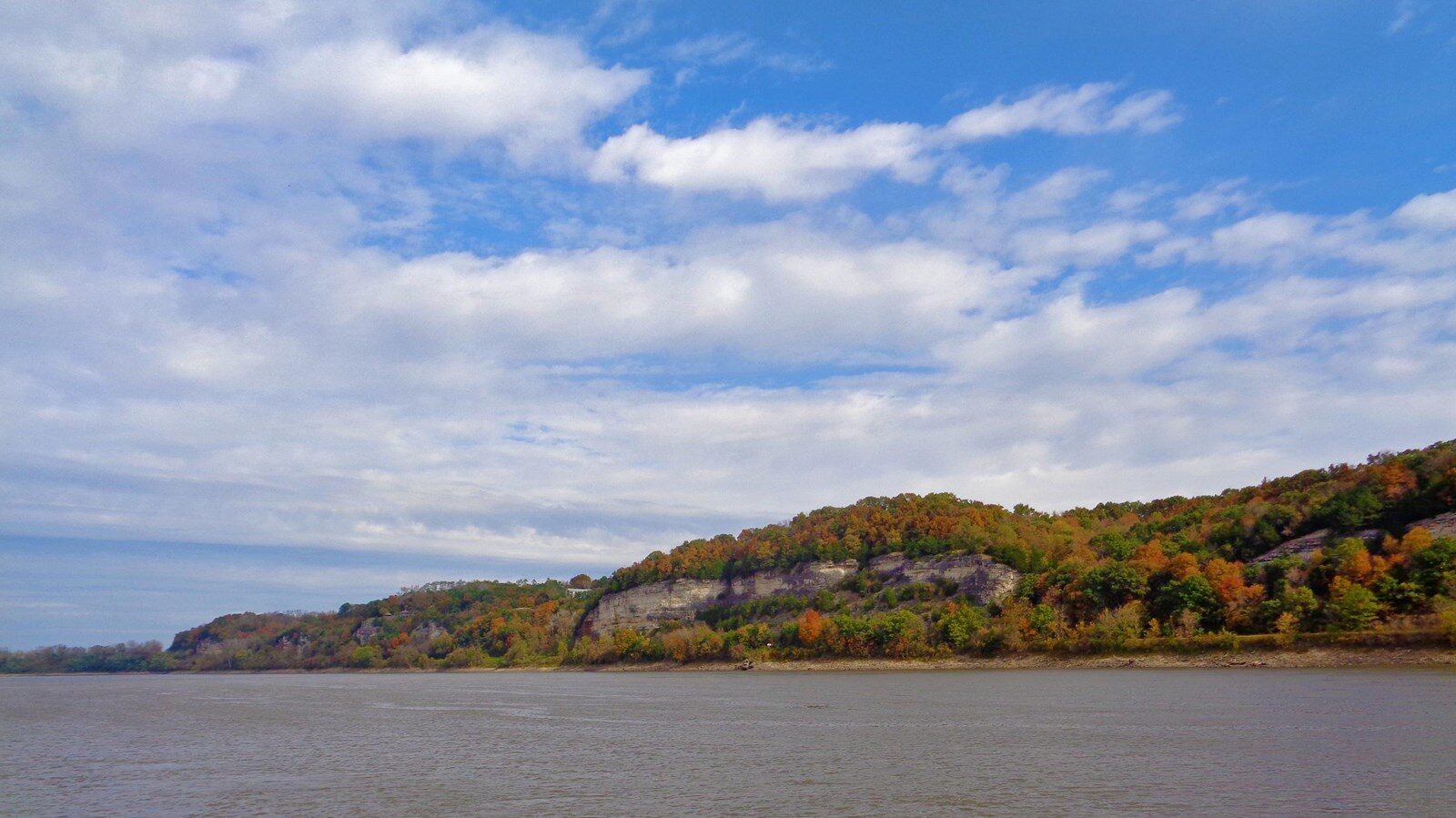
After setting out early on the morning of June 7, 1804, William Clark noted that the expedition stopped for “brackfast at the Mouth of a large Creek on the S. S. of 30 yds wide Called big Monetou.” The area he describes in this sentence is beautifully scenic, and it can be visited by you as well!
Moniteau Creek at Manitou Bluffs is a high potential historic site on the Lewis and Clark National Historic Trail. Manitou and Moniteau are variations on the Algonquian name for the Great Spirit. The eponymous creek and limestone bluffs were likely first so-named by early European explorers due to pictographic representations of the Manitou and other related symbols. Though these exact pictographs are no longer visible at this location, there are still some preserved examples further down the river. Visitors can access the Manitou Bluffs area via the Katy Trail State Park at Rocheport.
For more information to help you plan your visit, check out https://www.nps.gov/places/moniteau-creek-at-manitou-bluffs.htm!
Distance Unit:
Distance Unit:

A boat ramp to the beautiful Missouri River with a peaceful view of the river.


A breathtaking viewpoint overlooking the Trail of Tears State Park. Car access is available


Explore the Trail of Tears State Park to delve into a somber chapter in American history. Here, nine Cherokee Indian groups crossed the harsh winter Mississippi River in 1838-1839 during their forced relocation to Oklahoma.…