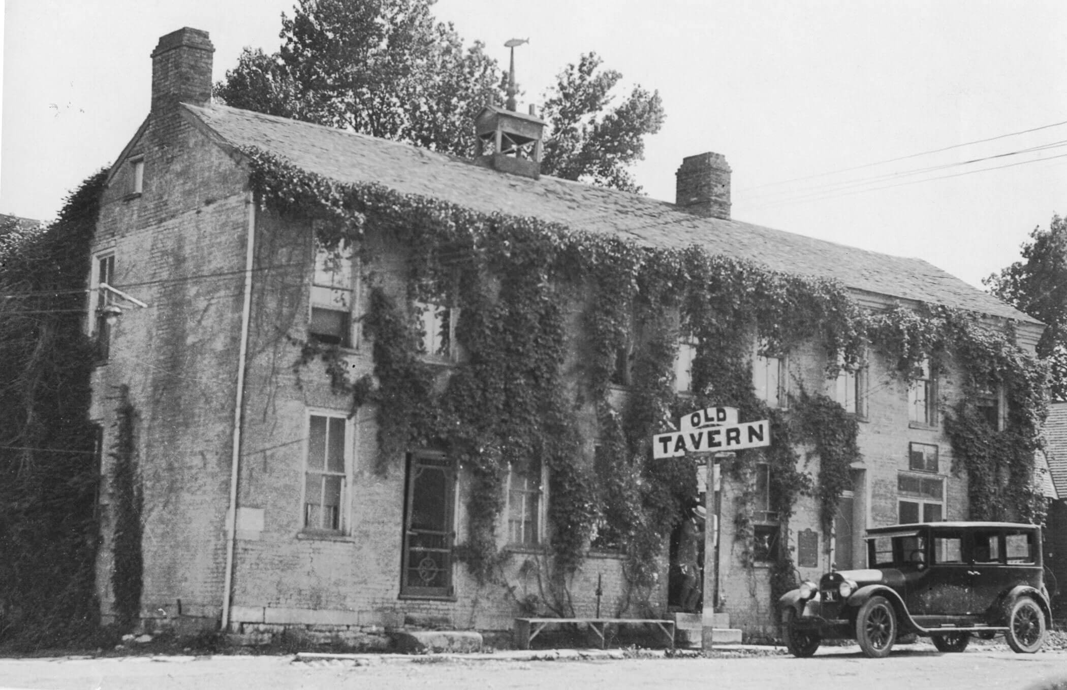
Arrow Rock State Historic Site Campground
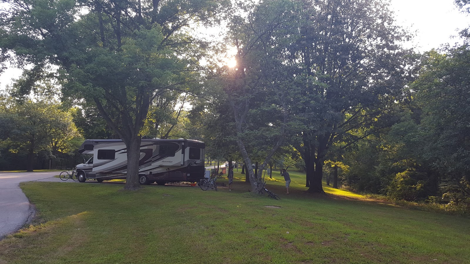
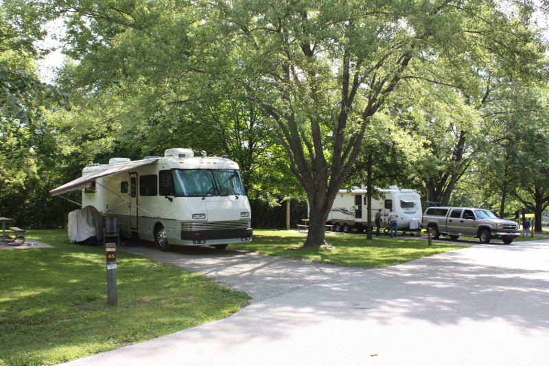
Arrow Rock State Historic Site offers basic, electric and sewer/electric/water (1) campsites and a special-use camping area. Shower facilities are available. All sites are in shade at least part of the day. The campground features first-come, first served campsites or you can reserve a site in advance. Reservable sites may be available on a day-by-day basis if the site is not reserved. Before occupying a site, check with the campground host or park staff or follow the directions on the posted card. Potable water stations are available throughout the campground and a trailer dump station is available. During the off-season (Nov. 1 through March 31), potable water, shower facilities and firewood are not available. Campers planning to carry in firewood must comply with current firewood advisories. A mile and half hiking trail loops around the site. Other features include a picnic area and Works Progress Administration (WPA)-era shelter house, playground and small fishing lake are near the campground.


Distance Unit:
Distance Unit:


Explore the Trail of Tears State Park to delve into a somber chapter in American history. Here, nine Cherokee Indian groups crossed the harsh winter Mississippi River in 1838-1839 during their forced relocation to Oklahoma.…

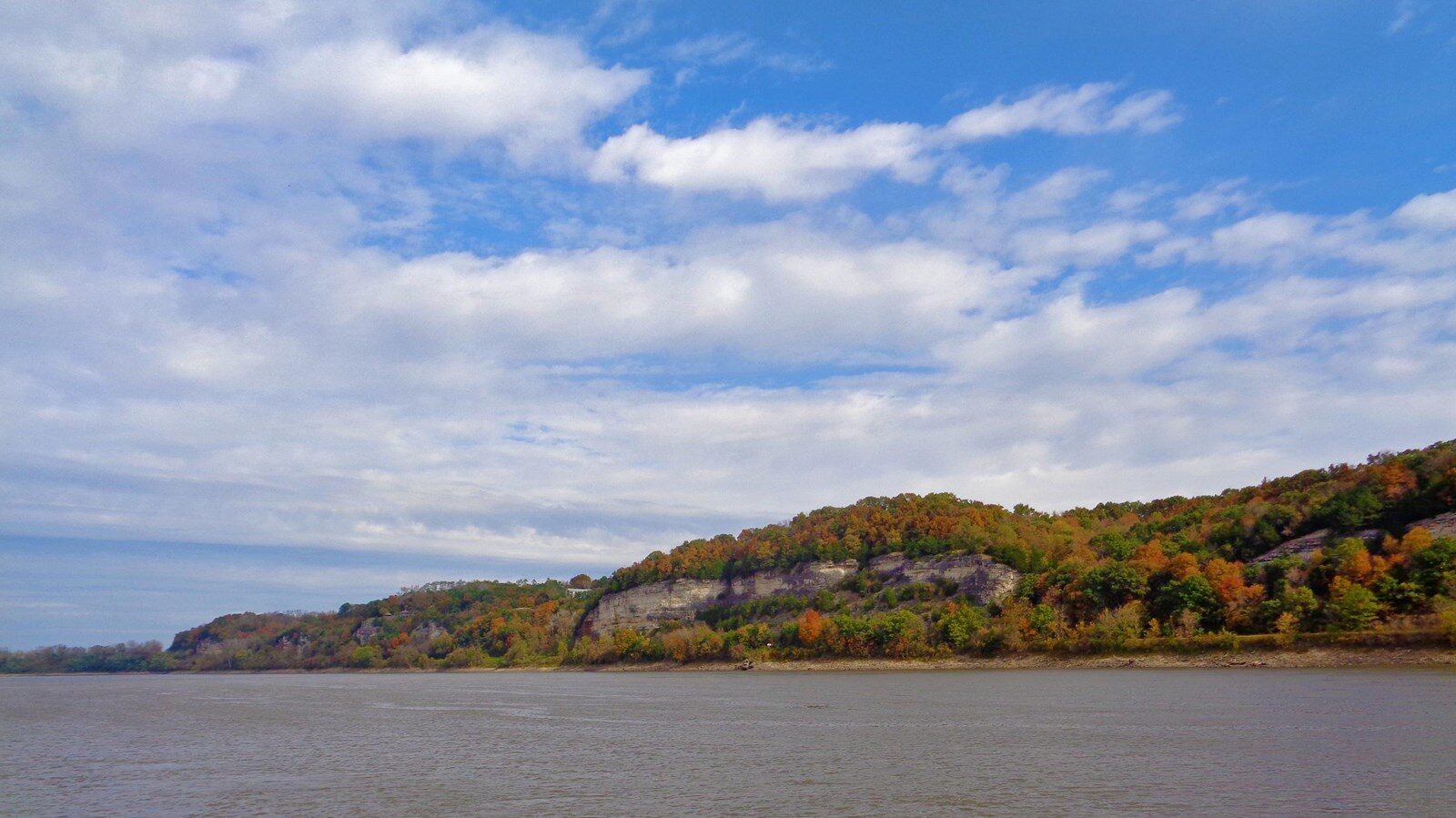
A boat ramp to the beautiful Missouri River with a peaceful view of the river.

A boat ramp that allows visitors to access the Trail of Tears