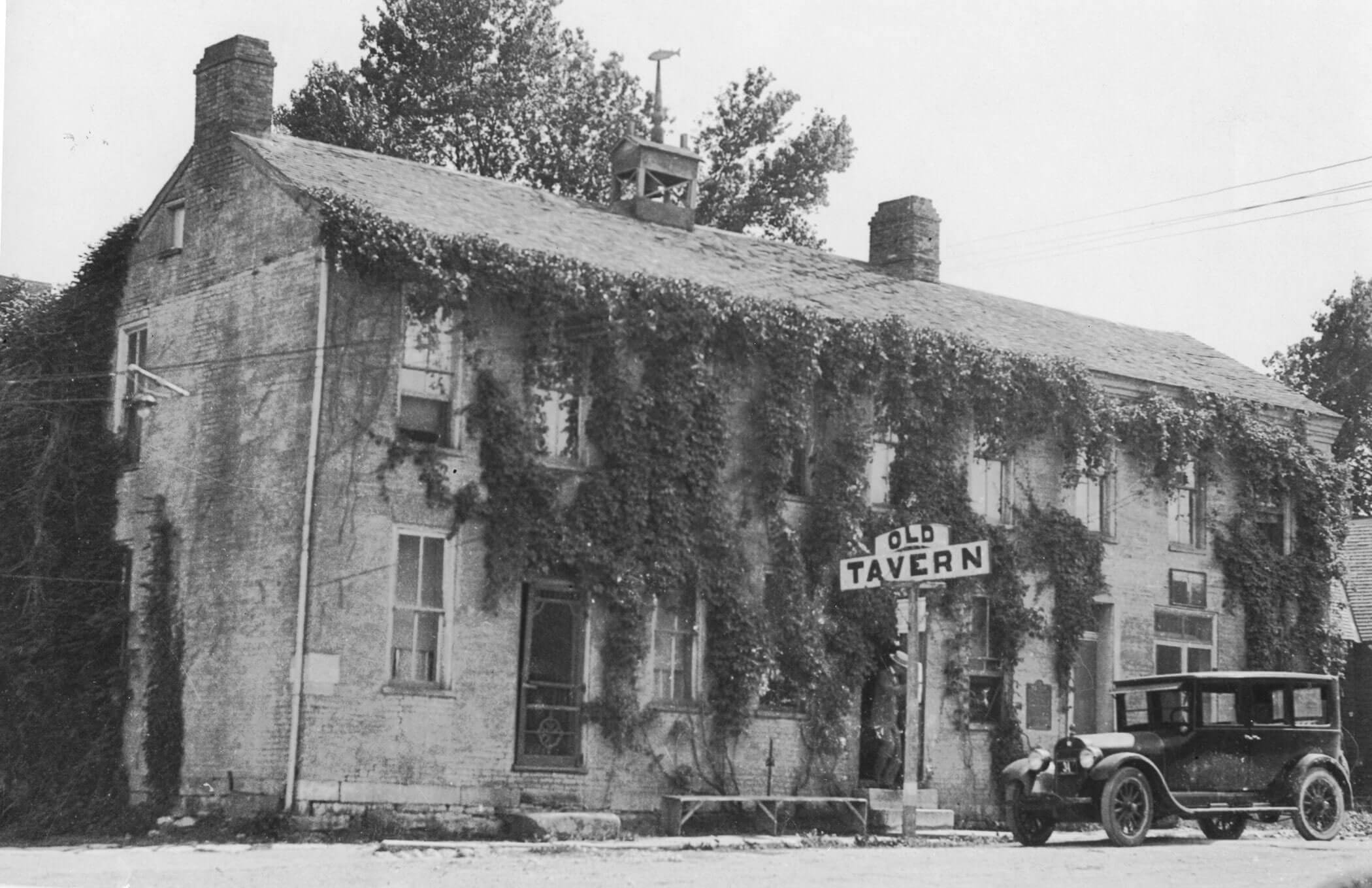
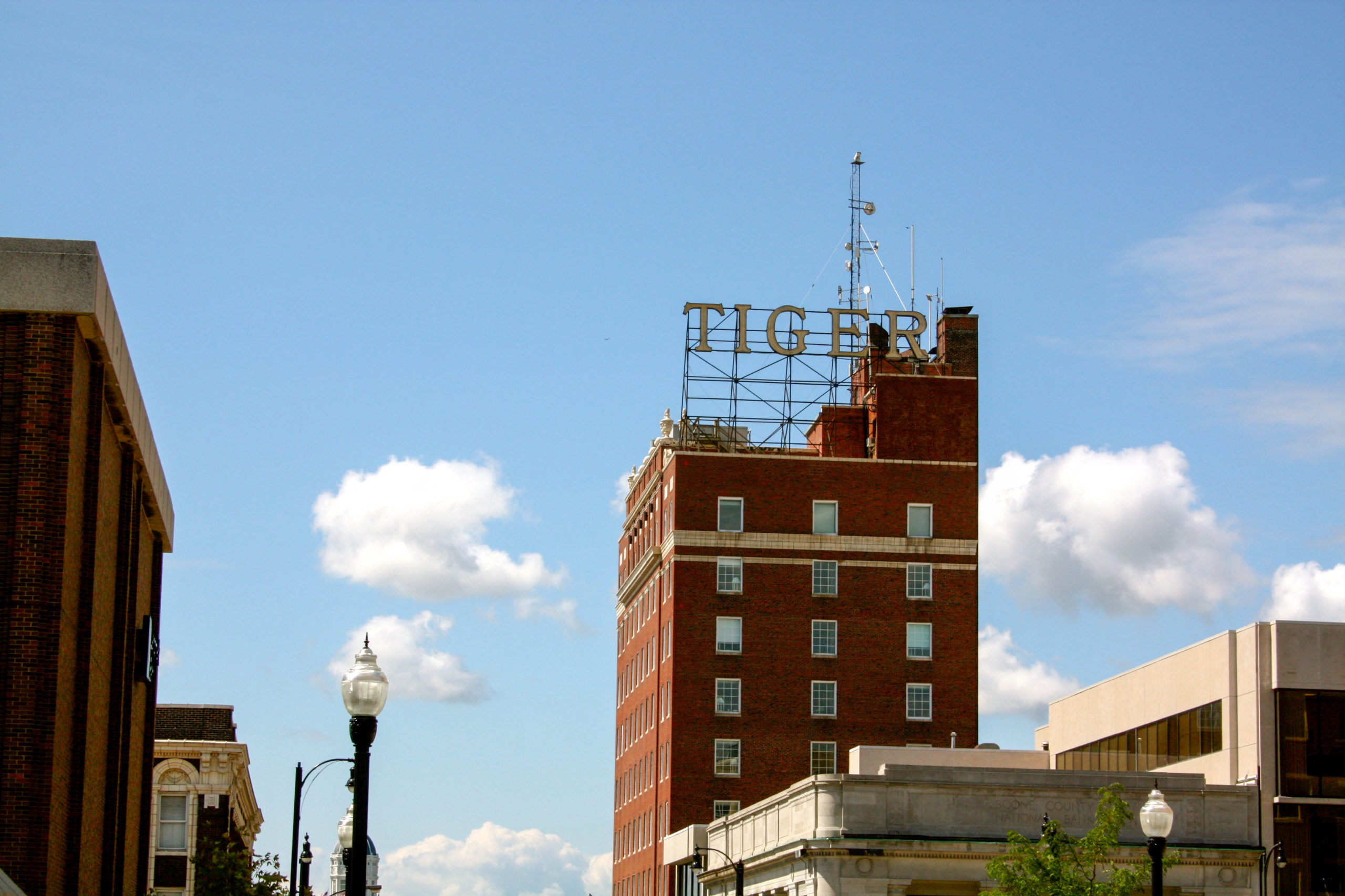
Rocheport Historic District

If you’re interested in trailing along the path traveled by Lewis and Clark, Rocheport, Missouri is a cannot miss. History was made for this historic town when Lewis and Clark passed through on June 7, 1804. William Clark documented the presence of petroglyphs along the rocks in his journal,
“. . . a Short distance above the mouth of [a] Creek, is Several Curious paintings and carving on the projecting rock of Limestone inlade with white red & blue flint, of a very good quality, the Indians have taken of this flint great quantities. We landed at this Inscription and found it a Den of Rattle Snakes, we had not landed 3 Minites before three very large Snakes was observed on the Crevises of the rocks & killed . . .”
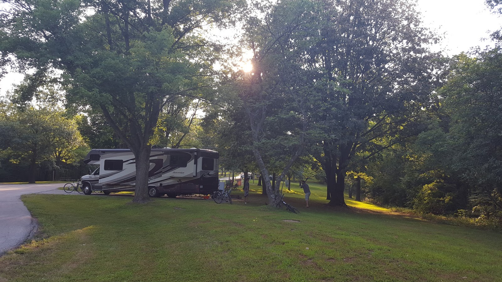
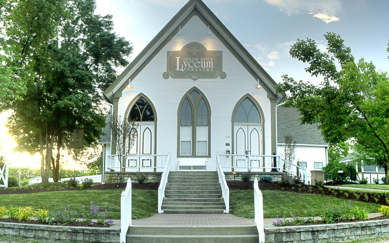
While the original petroglyphs that were discovered are no longer visible, by no means should it stop you from staying for a day in the town of Rocheport. Hailed as one of the “best tiny towns”, Rocheport is right in the heart of Missouri. With just two hours away from both Kansas City and St. Louis, this small town has something for everyone. From outdoor recreation along the trails, to supporting local small businesses, or even extending your stay in one of the numerous bed and breakfasts, this historic Missouri river town will steal your heart.


Distance Unit:
Distance Unit:


A breathtaking viewpoint overlooking the Trail of Tears State Park. Car access is available


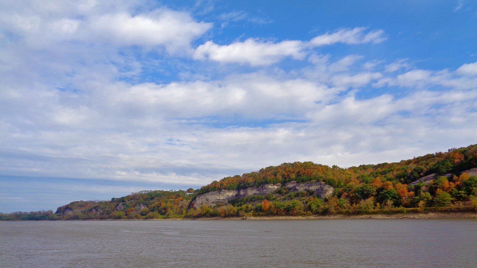
A boat ramp to the beautiful Missouri River with a peaceful view of the river.


A boat ramp that allows visitors to access the Trail of Tears


Explore the Trail of Tears State Park to delve into a somber chapter in American history. Here, nine Cherokee Indian groups crossed the harsh winter Mississippi River in 1838-1839 during their forced relocation to Oklahoma.…