Clark’s Hill/Norton State Historic Site
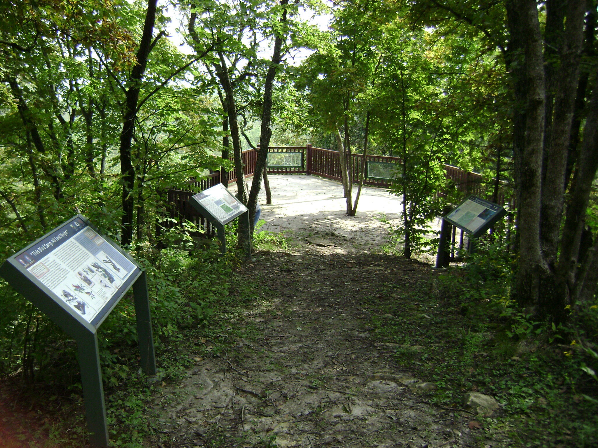
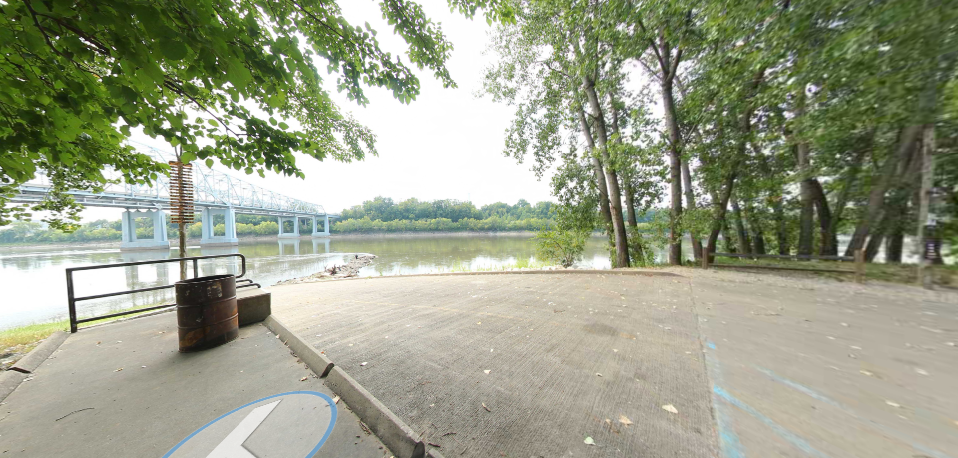
Visit the Clark’s Hill/Norton State Historic Site and walk in the footsteps of Lewis and Clark during their historic uncharted expedition. The explorers camped at the base of Clark’s Hill between June 1 and June 3, 1804, on their epic journey. Witness the breathtaking view of the conjunction of the Missouri and Osage Rivers. Explore along the trail that takes you to two American Indian mounds mentioned by Clark in his journals and to an overlook that shows where Clark stood more than 200 years ago.
Although the confluence of the two rivers was visible from Clark’s Hill in 1804, it subsequently shifted to a location approximately six miles further downstream. However, the woodland character of the river valley remains intact and visitors are afforded views that are relatively undisrupted by modern intrusions. The site is operated as a state park unit, and features a hiking trail that accesses a viewing platform over the rocky outcrop that Clark stood upon. The two burial mounds documented by Clark remain intact, and have been dated to the Late Woodland period (BCE 600-900). Three additional mounds and a village site have also been located in the area.
Distance Unit:
Distance Unit:


A breathtaking viewpoint overlooking the Trail of Tears State Park. Car access is available